Jampots Wood
Wood, Forest in Kincardineshire
Scotland
Jampots Wood
Jampots Wood is a picturesque woodland located in Kincardineshire, a historic county in Scotland. Situated near the quaint village of Fettercairn, this woodland is a popular destination for nature enthusiasts and those seeking tranquility amidst nature's beauty.
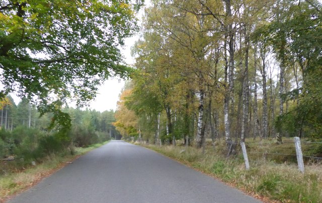
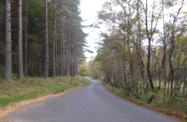
Covering an area of approximately 50 acres, Jampots Wood is home to a diverse range of flora and fauna. The woodland is characterized by a mixture of broadleaf and conifer trees including oak, birch, beech, and Scots pine. The lush undergrowth is adorned with a variety of wildflowers, creating a vibrant and colorful display during the spring and summer months.
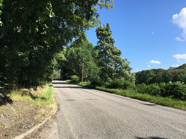
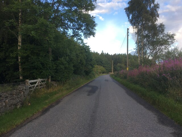
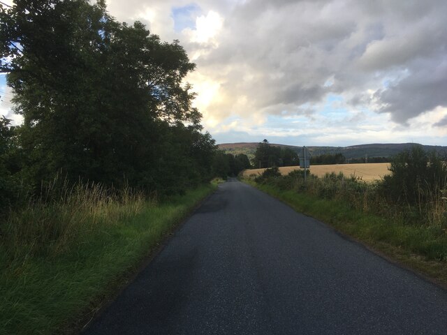
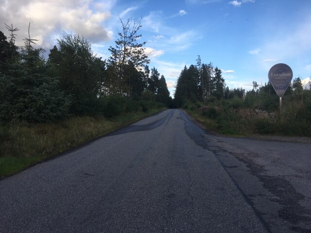
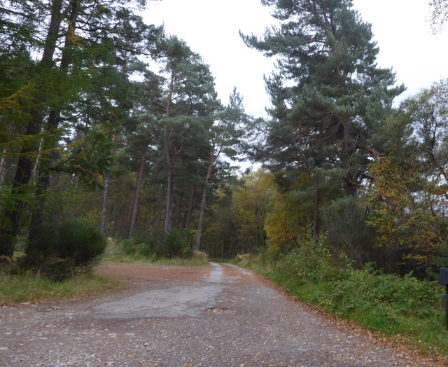
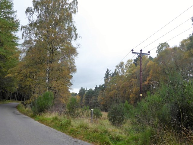
The wood is intersected by a network of walking trails, offering visitors the chance to explore its captivating landscape. The trails wind through the woods, providing glimpses of enchanting clearings, babbling brooks, and hidden ponds. The peaceful ambiance and the sound of birdsong make it an ideal place for a leisurely stroll or a picnic amidst nature.
Jampots Wood is also home to a diverse array of wildlife. Visitors may be fortunate enough to spot red squirrels, roe deer, and a multitude of bird species including woodpeckers, tits, and finches. The woodland provides a vital habitat for these creatures, contributing to the conservation of local biodiversity.
Overall, Jampots Wood offers a serene and captivating experience for those seeking to immerse themselves in the natural beauty of Kincardineshire. Whether it be an invigorating hike, a peaceful retreat, or an opportunity to observe wildlife, this woodland is a must-visit destination for nature lovers.
If you have any feedback on the listing, please let us know in the comments section below.
Jampots Wood Images
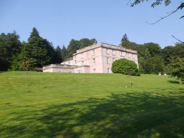
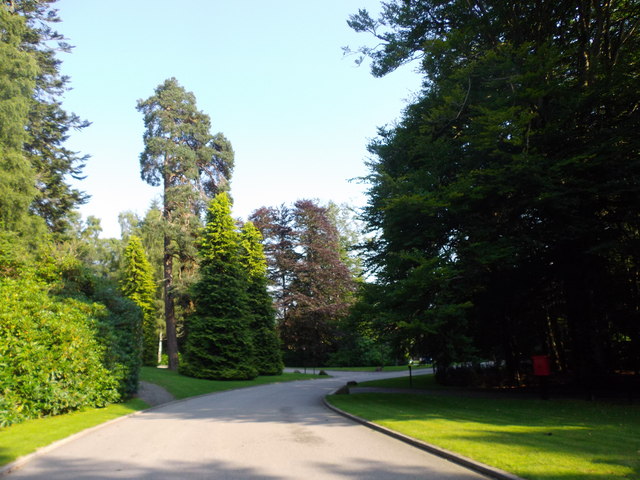
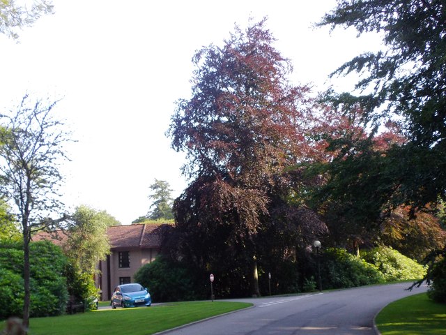
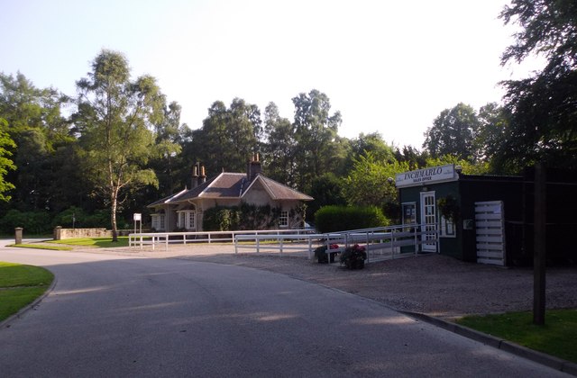
Images are sourced within 2km of 57.068469/-2.5457979 or Grid Reference NO6797. Thanks to Geograph Open Source API. All images are credited.

Jampots Wood is located at Grid Ref: NO6797 (Lat: 57.068469, Lng: -2.5457979)
Unitary Authority: Aberdeenshire
Police Authority: North East
What 3 Words
///belly.myth.strumming. Near Banchory, Aberdeenshire
Nearby Locations
Related Wikis

Brathens
Brathens is a village in Aberdeenshire, Scotland. == References ==

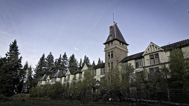
Glen o' Dee Hospital
Glen o' Dee Hospital is situated in the west end of Banchory, Aberdeenshire, Scotland. It is a small community hospital that provides services for the...

Beltie Burn
The Beltie Burn is a burn in Aberdeenshire, Scotland, which below Torphins and Glassel is known as the Burn of Canny. It begins in the hill of Benaquhallie...

Glassel railway station
Glassel railway station is a disused railway station in Britain. It served Glassel House, the Mill of Beltie and the local farms and the inhabitants of...
Nearby Amenities
Located within 500m of 57.068469,-2.5457979Have you been to Jampots Wood?
Leave your review of Jampots Wood below (or comments, questions and feedback).