Aulddeer Wood
Wood, Forest in Kincardineshire
Scotland
Aulddeer Wood
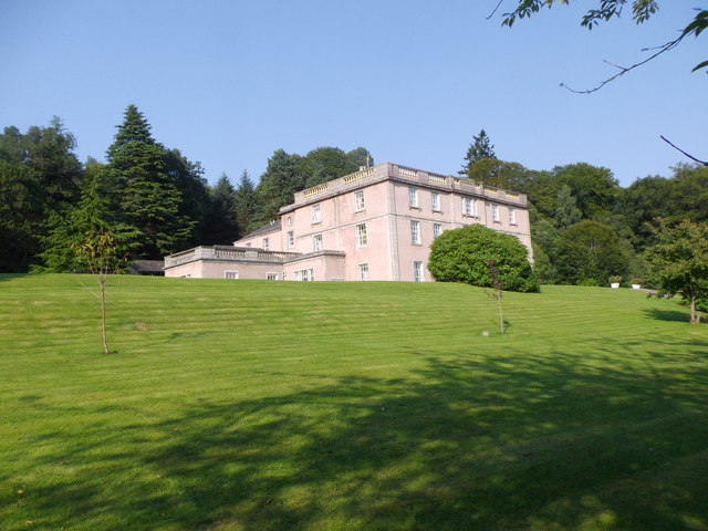
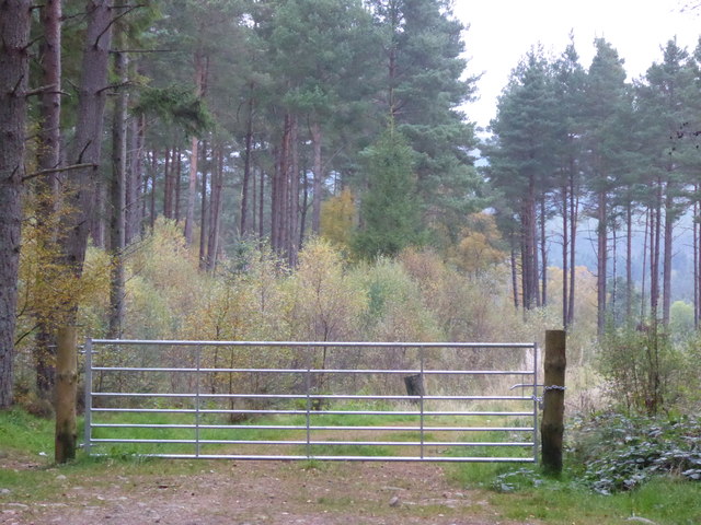
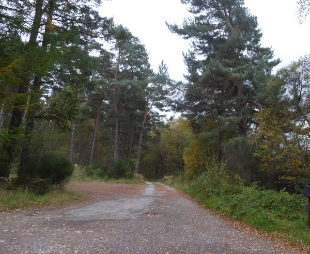
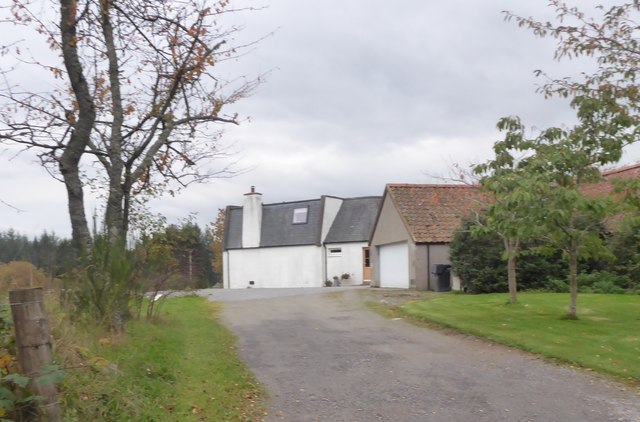
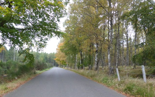
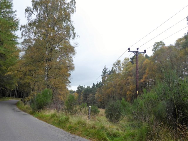
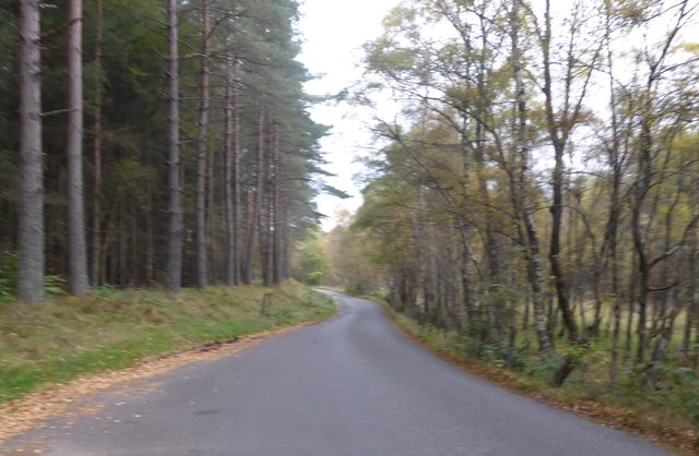
Aulddeer Wood is a picturesque woodland located in Kincardineshire, Scotland. Covering an area of approximately 100 acres, it is a popular destination for nature enthusiasts and those seeking a peaceful retreat. The wood is situated near the village of Auchenblae and offers a diverse range of flora and fauna.
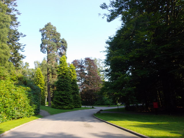
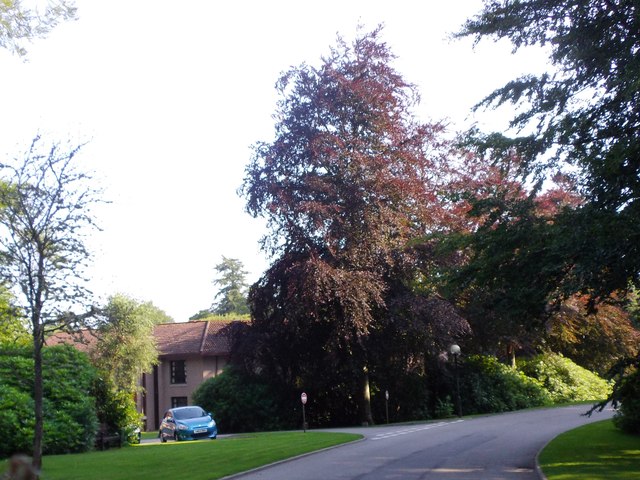
The wood is primarily composed of native tree species such as oak, birch, and beech, creating a rich and vibrant ecosystem. The dense canopy provides shelter for a variety of woodland creatures, including red squirrels, deer, and a multitude of bird species. Visitors can often spot these animals while walking along the well-maintained trails that wind through the wood.
Aulddeer Wood is also known for its stunning displays of bluebells during the spring season, transforming the forest floor into a vibrant carpet of color. This attracts many photographers and nature lovers who come to witness and capture the beauty of the woodland.
In addition to its natural beauty, Aulddeer Wood has historical significance. It is believed that the wood was once part of the hunting ground for the earls of Airlie in the 18th century. Remnants of old structures can still be found within the wood, adding to its charm and allure.
Overall, Aulddeer Wood is a place of tranquility and natural wonder. Its combination of lush vegetation, diverse wildlife, and historical elements make it a must-visit destination for those exploring the natural beauty of Kincardineshire.
If you have any feedback on the listing, please let us know in the comments section below.
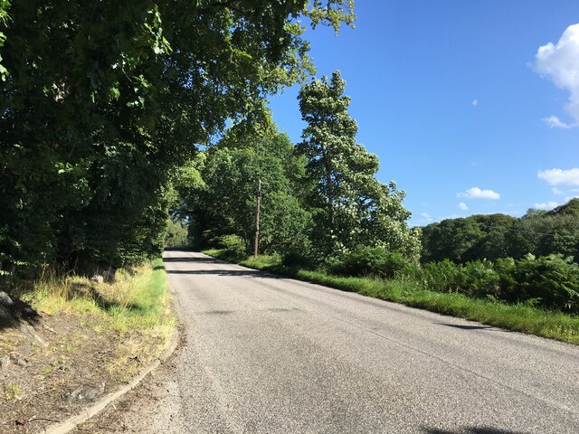
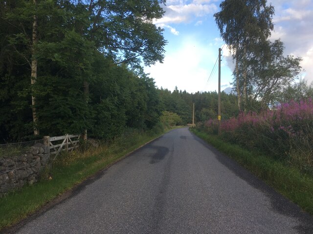
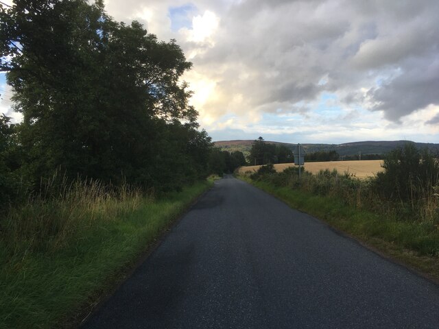
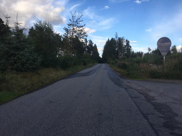
Aulddeer Wood Images
Images are sourced within 2km of 57.066168/-2.5439997 or Grid Reference NO6797. Thanks to Geograph Open Source API. All images are credited.

Aulddeer Wood is located at Grid Ref: NO6797 (Lat: 57.066168, Lng: -2.5439997)
Unitary Authority: Aberdeenshire
Police Authority: North East
What 3 Words
///buns.puddles.mandolin. Near Banchory, Aberdeenshire
Nearby Locations
Related Wikis

Brathens
Brathens is a village in Aberdeenshire, Scotland. == References ==

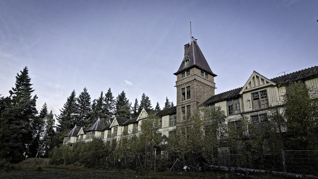
Glen o' Dee Hospital
Glen o' Dee Hospital is situated in the west end of Banchory, Aberdeenshire, Scotland. It is a small community hospital that provides services for the...

Beltie Burn
The Beltie Burn is a burn in Aberdeenshire, Scotland, which below Torphins and Glassel is known as the Burn of Canny. It begins in the hill of Benaquhallie...

Glassel railway station
Glassel railway station is a disused railway station in Britain. It served Glassel House, the Mill of Beltie and the local farms and the inhabitants of...
Kinneskie Road drill hall, Banchory
The Kinneskie Road drill hall is a former military installation near Banchory, Scotland. == History == The building was designed as the headquarters of...

Banchory Town Hall
Banchory Town Hall is a municipal structure in the High Street, Banchory, Aberdeenshire, Scotland. The structure is primarily used as a community events...

Cluny Crichton Castle
Cluny Crichton Castle (also known as Clounie Crighton Castle) is a ruined 3-story tower house on the southern slopes of the Hill of Fare in Aberdeenshire...

Dee Street Halt railway station
Dee Street Halt railway station was a short-lived stopping place on the Aberdeen and Ballater railway branch. It was situated at 17 miles 30 chains (28...
Nearby Amenities
Located within 500m of 57.066168,-2.5439997Have you been to Aulddeer Wood?
Leave your review of Aulddeer Wood below (or comments, questions and feedback).