Inchmarlo
Settlement in Kincardineshire
Scotland
Inchmarlo
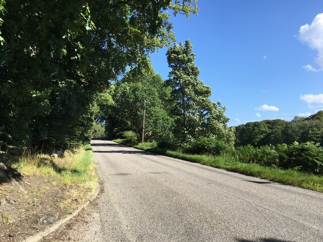
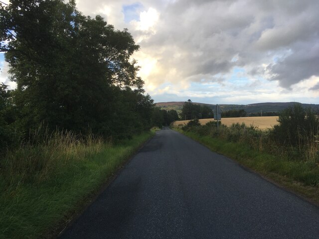
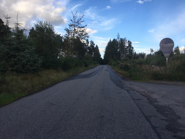
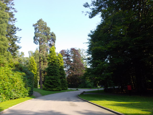
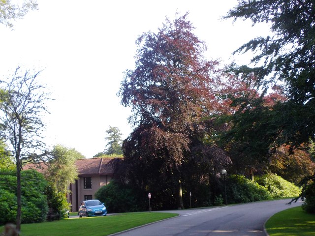
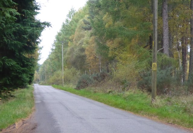
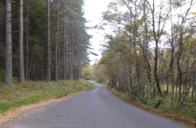
Inchmarlo is a small village located in the historical county of Kincardineshire, Scotland. Situated just a few miles west of the town of Banchory, Inchmarlo is nestled amidst picturesque countryside and offers stunning views of the surrounding hills and the River Dee.
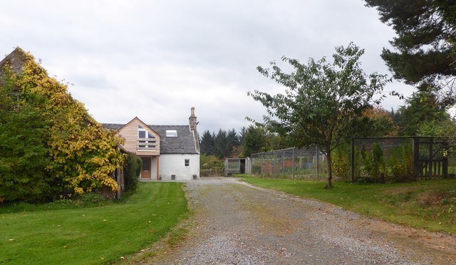
The village is renowned for its tranquil and idyllic setting, making it a popular destination for those seeking a peaceful retreat. Inchmarlo is home to a small but close-knit community, with a population of around 400 residents. The village exudes a welcoming atmosphere, and its residents take great pride in their surroundings.
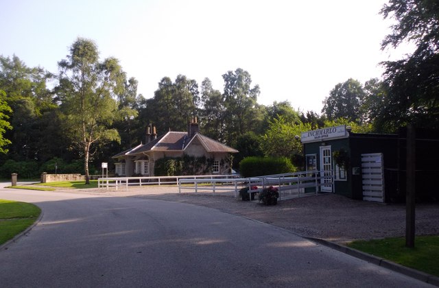
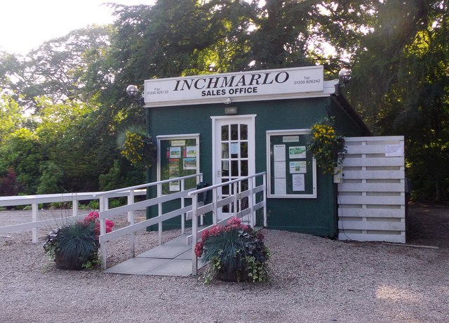
One of the main attractions in Inchmarlo is the Inchmarlo Golf Club, set in the heart of the village. This scenic 18-hole golf course is known for its challenging layout and breathtaking views, making it a favorite among golf enthusiasts.
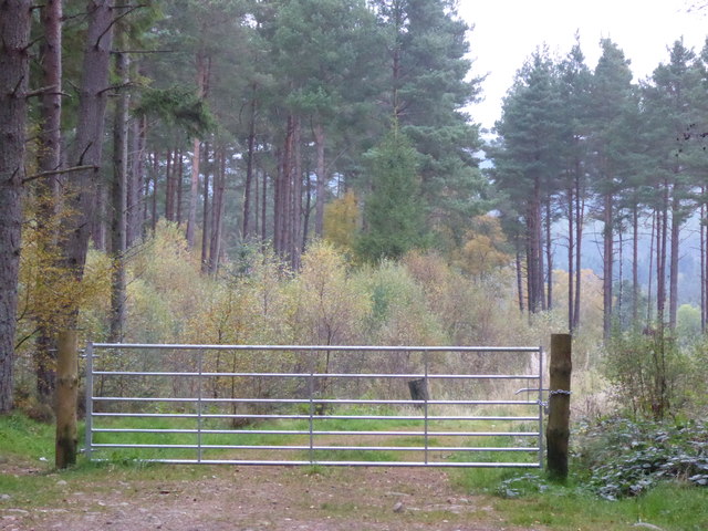
The nearby town of Banchory provides all the necessary amenities, including shops, restaurants, and leisure facilities. Inchmarlo is also conveniently located for outdoor enthusiasts, with numerous walking trails and cycle paths in the area. The nearby Cairngorms National Park offers even more opportunities for outdoor activities, such as hiking, skiing, and wildlife spotting.
Overall, Inchmarlo is a charming village that perfectly encapsulates the natural beauty and peacefulness of the Scottish countryside. Its close proximity to Banchory and the stunning landscapes of Kincardineshire make it an ideal location for both residents and visitors alike.
If you have any feedback on the listing, please let us know in the comments section below.
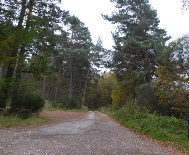
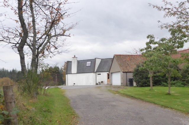
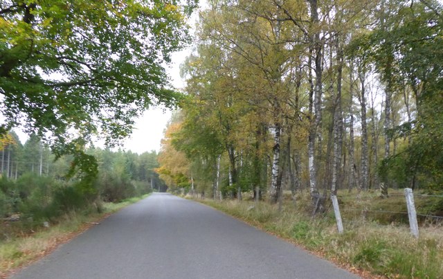
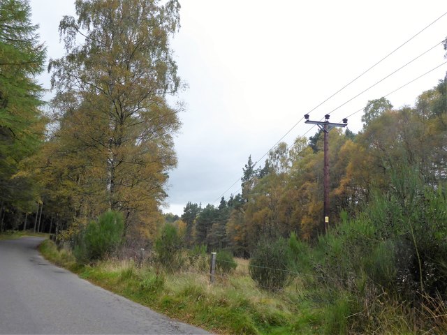
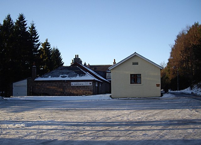
Inchmarlo Images
Images are sourced within 2km of 57.065041/-2.5345673 or Grid Reference NO6797. Thanks to Geograph Open Source API. All images are credited.

Inchmarlo is located at Grid Ref: NO6797 (Lat: 57.065041, Lng: -2.5345673)
Unitary Authority: Aberdeenshire
Police Authority: North East
What 3 Words
///diner.shadowing.offers. Near Banchory, Aberdeenshire
Nearby Locations
Related Wikis

Brathens
Brathens is a village in Aberdeenshire, Scotland. == References ==

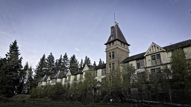
Glen o' Dee Hospital
Glen o' Dee Hospital is situated in the west end of Banchory, Aberdeenshire, Scotland. It is a small community hospital that provides services for the...
Kinneskie Road drill hall, Banchory
The Kinneskie Road drill hall is a former military installation near Banchory, Scotland. == History == The building was designed as the headquarters of...

Banchory Town Hall
Banchory Town Hall is a municipal structure in the High Street, Banchory, Aberdeenshire, Scotland. The structure is primarily used as a community events...

Dee Street Halt railway station
Dee Street Halt railway station was a short-lived stopping place on the Aberdeen and Ballater railway branch. It was situated at 17 miles 30 chains (28...

Cluny Crichton Castle
Cluny Crichton Castle (also known as Clounie Crighton Castle) is a ruined 3-story tower house on the southern slopes of the Hill of Fare in Aberdeenshire...

Beltie Burn
The Beltie Burn is a burn in Aberdeenshire, Scotland, which below Torphins and Glassel is known as the Burn of Canny. It begins in the hill of Benaquhallie...

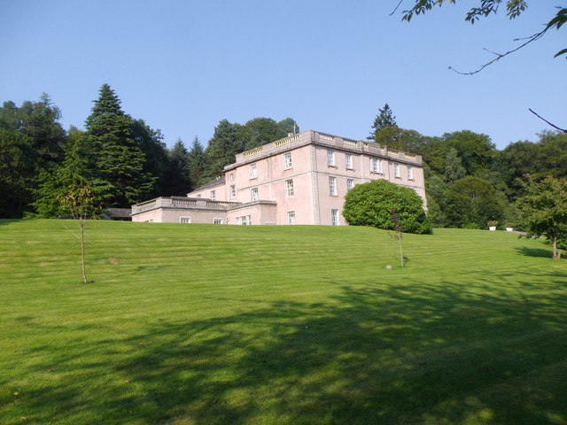
Raemoir House
Raemoir House is a Category B listed Georgian mansion house located in Banchory, Aberdeenshire, Scotland. Its origins date back to the Ha'Hoose (Hall House...
Nearby Amenities
Located within 500m of 57.065041,-2.5345673Have you been to Inchmarlo?
Leave your review of Inchmarlo below (or comments, questions and feedback).