Balmakewan Wood

Wood, Forest in Kincardineshire

Scotland

Balmakewan Wood

C38 (Angus) Road heading east The C38 road heading eastwards towards the Stobb of Gallery.
C38 (Angus) Road heading east Credit: Scott Cormie

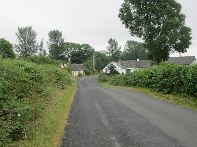
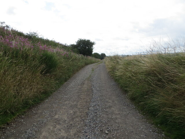
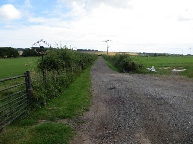
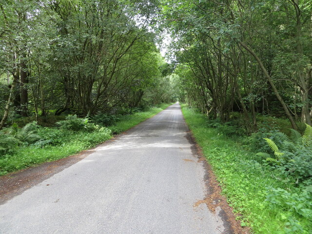
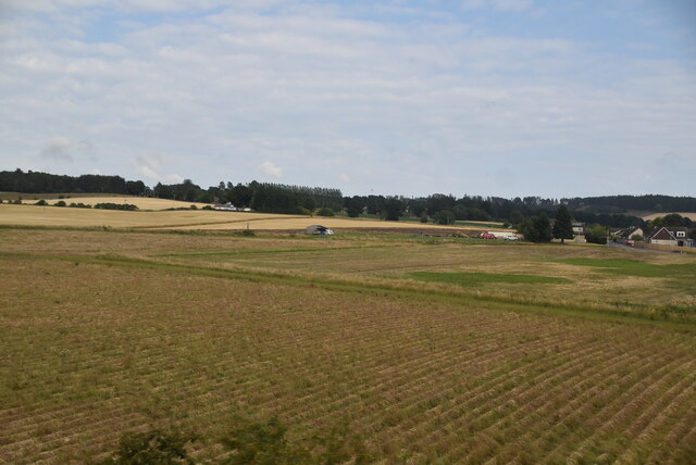
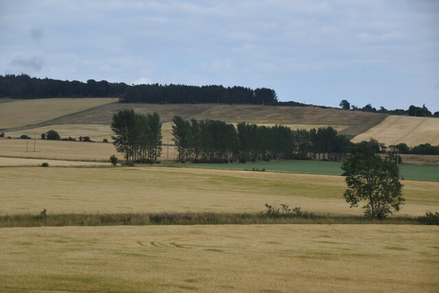
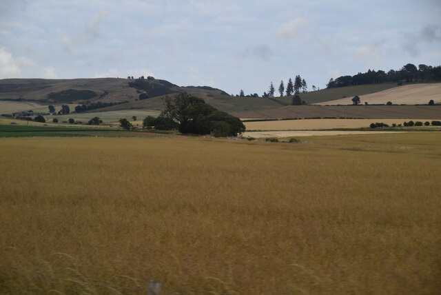
Balmakewan Wood is a picturesque woodland located in Kincardineshire, Scotland. Covering an area of approximately 40 hectares, the wood is situated near the village of Fordoun, just south of the River North Esk.

The wood is predominantly composed of native broadleaf trees, such as oak, birch, and ash, creating a diverse and rich habitat for various wildlife species. The dense canopy provides shelter and nesting opportunities for birds, including woodpeckers, owls, and thrushes. Additionally, the undergrowth is home to a variety of small mammals, such as squirrels, voles, and badgers.

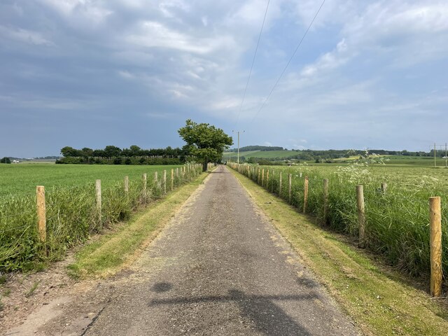
Visitors to Balmakewan Wood can enjoy a network of well-maintained trails that wind through the enchanting woodland, offering opportunities for leisurely walks and exploration. The paths are surrounded by a carpet of wildflowers during spring and summer, creating a vibrant and colorful atmosphere.

The wood also features a small pond, which serves as a watering hole for local wildlife, including amphibians and dragonflies. This serene spot provides a tranquil setting for nature enthusiasts to observe and appreciate the diverse ecosystem.

Balmakewan Wood is managed by the local forestry commission, ensuring the preservation of its natural beauty and the protection of its wildlife. The wood is a popular destination for locals and tourists alike, offering a peaceful retreat from the hustle and bustle of everyday life.

Overall, Balmakewan Wood is a stunning example of Scotland's natural beauty, providing visitors with a chance to immerse themselves in the tranquility of a well-preserved woodland habitat.

If you have any feedback on the listing, please let us know in the comments section below.

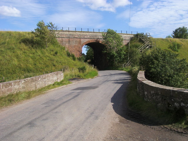
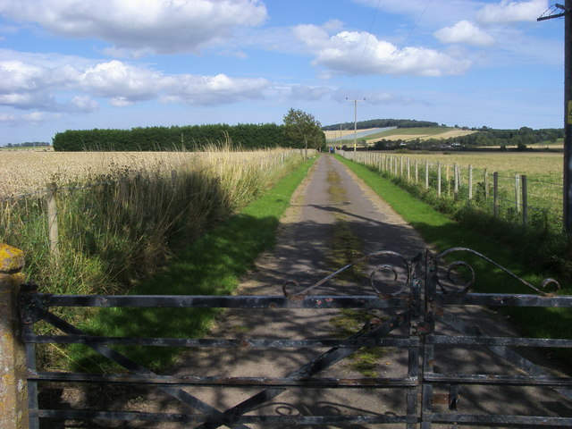
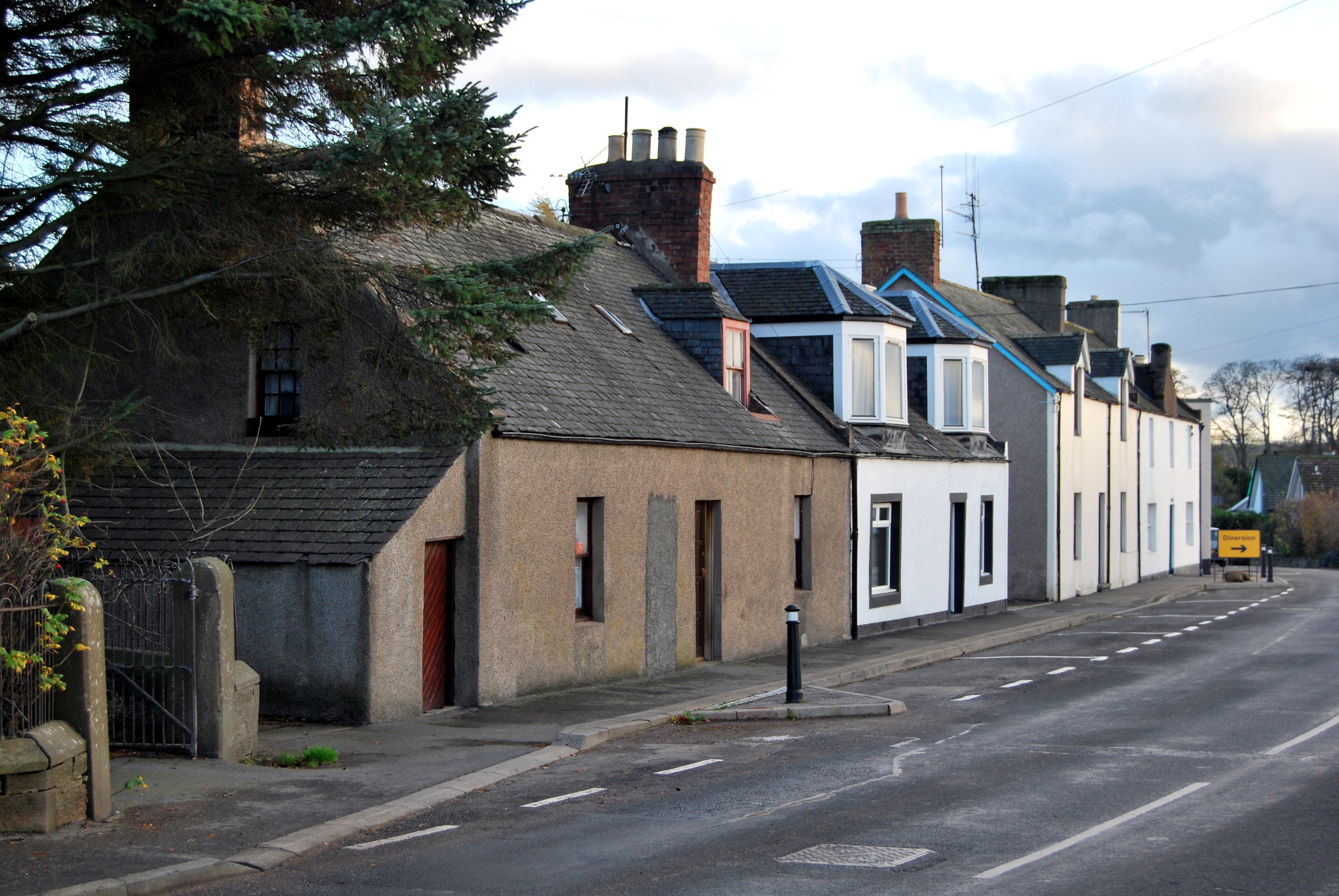
Balmakewan Wood Images

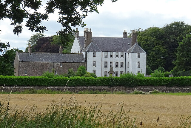
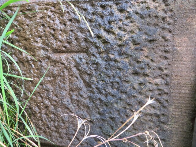
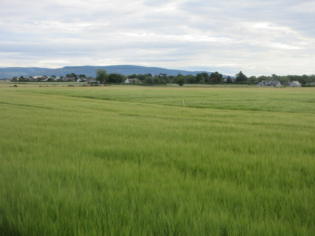
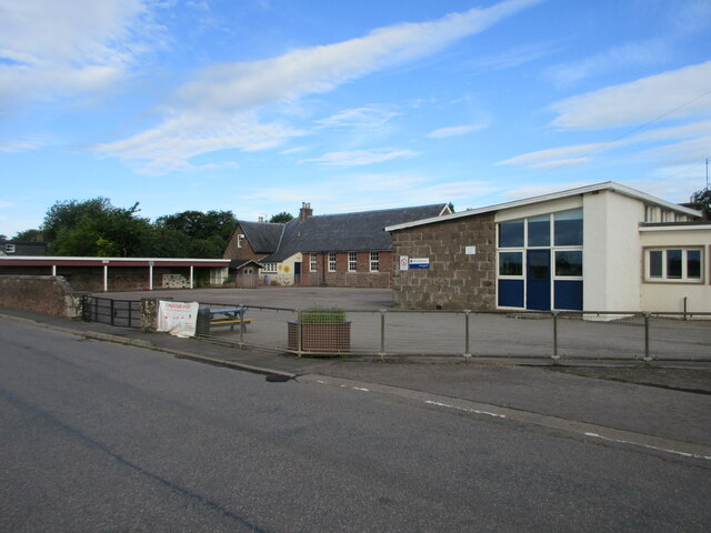
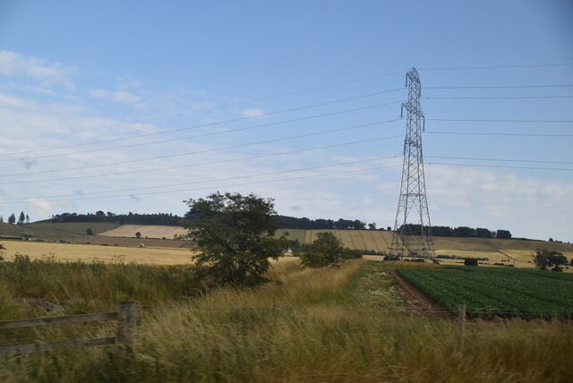
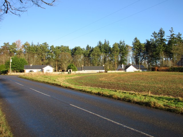
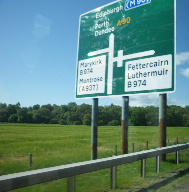
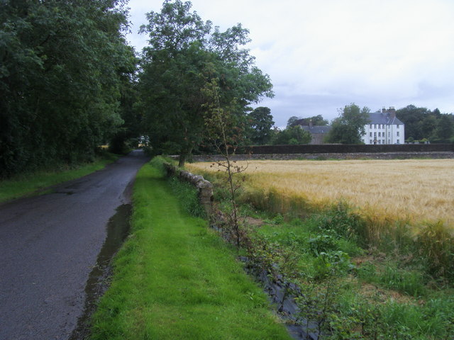
Images are sourced within 2km of 56.797958/-2.5417128 or Grid Reference NO6767. Thanks to Geograph Open Source API. All images are credited.

C38 (Angus) Road heading east The C38 road heading eastwards towards the Stobb of Gallery.
C38 (Angus) Road heading east
The C38 road heading eastwards towards the Stobb of Gallery.
Track beside railway that gives access to Myreside Looking south-westward.
Track beside railway that gives access to Myreside
Looking south-westward.
Track giving access to Townhead of Balmakelly Looking south-eastward.
Track giving access to Townhead of Balmakelly
Looking south-eastward.
Minor road enclosed by Inverury Wood Looking north-westward.
Minor road enclosed by Inverury Wood
Looking north-westward.
Gallery House The house was built about 1680 for Sir John Falconer of Balmakelly, who was Master of the Mint. The builder was Thomas Wilkie, mason in Edinburgh, who may also have been the architect. Pity about the later wing on the left, which rather spoils the overall effect. Curiously, although it is Category A Listed, Canmore <span class="nowrap"><a title="https://canmore.org.uk/site/35880/gallery" rel="nofollow ugc noopener" href="https://canmore.org.uk/site/35880/gallery">Link</a><img style="margin-left:2px;" alt="External link" title="External link - shift click to open in new window" src="https://s1.geograph.org.uk/img/external.png" width="10" height="10"/></span> says dismissively, "Apparently an 18th century mansion. No interesting architectural features."
Gallery House
The house was built about 1680 for Sir John Falconer of Balmakelly, who was Master of the Mint. The builder was Thomas Wilkie, mason in Edinburgh, who may also have been the architect. Pity about the later wing on the left, which rather spoils the overall effect. Curiously, although it is Category A Listed, Canmore LinkExternal link says dismissively, "Apparently an 18th century mansion. No interesting architectural features."
Ordnance Survey Cut Mark This mark can be found on the roadside buttress wall of a railway bridge near Dunthill.
The recorded details give a height of 38.6608 metres above sea level.
For more detail see : <span class="nowrap"><a title="https://www.bench-marks.org.uk/bm162701" rel="nofollow ugc noopener" href="https://www.bench-marks.org.uk/bm162701">Link</a><img style="margin-left:2px;" alt="External link" title="External link - shift click to open in new window" src="https://s1.geograph.org.uk/img/external.png" width="10" height="10"/></span>
Ordnance Survey Cut Mark
This mark can be found on the roadside buttress wall of a railway bridge near Dunthill. The recorded details give a height of 38.6608 metres above sea level. For more detail see : LinkExternal link
Barley field south of Luthermuir Looking north-eastwards over a field of barley, with Luthermuir in the distance.
Barley field south of Luthermuir
Looking north-eastwards over a field of barley, with Luthermuir in the distance.
Luthermuir Primary School Luthermuir Primary School from the roadside at the eastern end of the village.
Luthermuir Primary School
Luthermuir Primary School from the roadside at the eastern end of the village.
Entrance to Marykirk Cemetery Geocaching is a type of global treasure hunt of people looking for caches, or hidden stashes of objects. Geocaching may also be described as a series of hide-and-seek games, where hiders provide online clues for seekers. Seekers use global positioning system (GPS) devices to find hidden caches
Entrance to Marykirk Cemetery
Geocaching is a type of global treasure hunt of people looking for caches, or hidden stashes of objects. Geocaching may also be described as a series of hide-and-seek games, where hiders provide online clues for seekers. Seekers use global positioning system (GPS) devices to find hidden caches
Farmland north of Marykirk
Farmland
Farmland
Farmland
Farmland
Ditch, farmland and pylon
Cottages at Rosehill Three white-harled cottages viewed from the C6K road at Rosehill.
Cottages at Rosehill
Three white-harled cottages viewed from the C6K road at Rosehill.
Signpost showing the layout of the B974 junction Viewed from the southbound travel lane of the A90, the motorist can view the layout of the next junction.
Signpost showing the layout of the B974 junction
Viewed from the southbound travel lane of the A90, the motorist can view the layout of the next junction.
Road to North Water Bridge Road to North Water Bridge at Gallery
Road to North Water Bridge
Road to North Water Bridge at Gallery
B974 heading under the railway bridge to Marykirk B974 heading over the burn bridge under the railway bridge to Marykirk
B974 heading under the railway bridge to Marykirk
B974 heading over the burn bridge under the railway bridge to Marykirk
Drive up to Marykirk cemetery Off B974 drive up to Marykirk cemetery
Drive up to Marykirk cemetery
Off B974 drive up to Marykirk cemetery
Show me another place!

Balmakewan Wood is located at Grid Ref: NO6767 (Lat: 56.797958, Lng: -2.5417128)

Unitary Authority: Aberdeenshire

Police Authority: North East

What 3 Words

///upsetting.amuse.tigers. Near Laurencekirk, Aberdeenshire

Nearby Locations

Balmakewan Wood

Related Wikis

Luthermuir

Luthermuir is a village in Aberdeenshire, Scotland, UK. Historically the village was home to weavers and labourers. == Facilities == Luthermuir is home...

Luther Water

Luther Water is a generally southerly flowing river in Aberdeenshire, Scotland that discharges into the River North Esk. == Course == The watercourse rises...

Marykirk railway station

Marykirk railway station served the village of Marykirk, Kincardineshire, Scotland from 1849 to 1956 on the Aberdeen Railway. == History == The station...

Marykirk

Marykirk (Scottish Gaelic: Obar Luathnait) is a village in the Kincardine and Mearns area of Aberdeenshire, Scotland, next to the border with Angus at...

Nearby Amenities

Located within 500m of 56.797958,-2.5417128
Speed Camera
Ref: 218
Website: http://www.nescamp.co.uk/details?cid=14
Lat/Long: 56.8005085/-2.5390006
Power: pole
Lat/Long: 56.7972856/-2.5335955
Power: pole
Lat/Long: 56.7967536/-2.5339408
Power: pole
Lat/Long: 56.7962078/-2.5342976
Power: pole
Lat/Long: 56.793863/-2.5405522
Power: pole
Lat/Long: 56.7944303/-2.5414983
Power: pole
Lat/Long: 56.7949875/-2.5424352
Material: wood
Power: pole
Lat/Long: 56.7955586/-2.5434021
Material: wood
Power: pole
Lat/Long: 56.7960679/-2.5442676
Material: wood
Power: pole
Lat/Long: 56.7964788/-2.5449997
Material: wood
Power: pole
Lat/Long: 56.796852/-2.5457064
Material: wood
Power: pole
Lat/Long: 56.7972377/-2.5464408
Material: wood
Power: pole
Lat/Long: 56.7974533/-2.5468908
Material: wood
Power: pole
Lat/Long: 56.797788/-2.5475825
Material: wood
Power: pole
Lat/Long: 56.7981964/-2.5484297
Material: wood
Power: pole
Lat/Long: 56.798608/-2.5492952
Material: wood
Power: pole
Lat/Long: 56.7977489/-2.5476861
Material: wood
Power: pole
Lat/Long: 56.7972875/-2.5486783
Material: wood
Power: pole
Lat/Long: 56.796869/-2.5495784
The data included in this document is from www.openstreetmap.org. The data is made available under ODbL.

Have you been to Balmakewan Wood?

Leave your review of Balmakewan Wood below (or comments, questions and feedback).