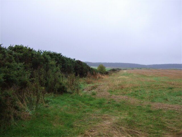
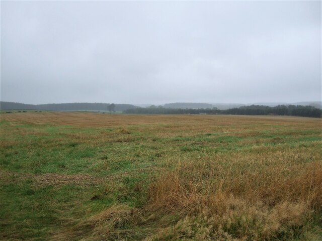
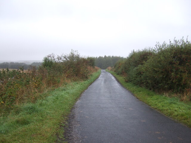
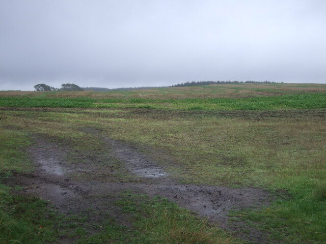
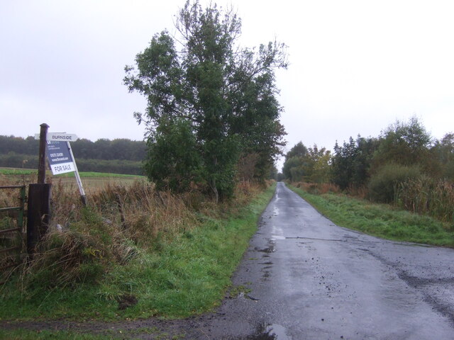
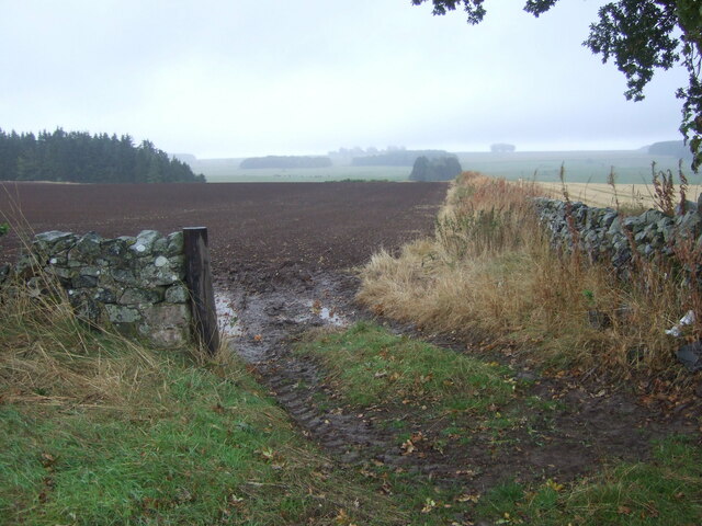
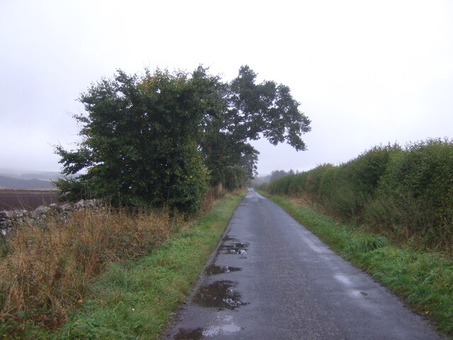
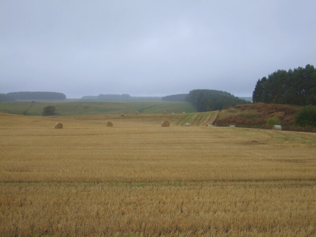
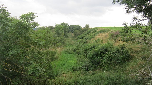
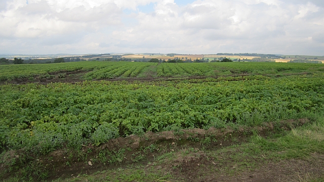
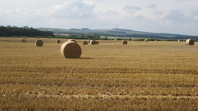
Hardie's Burn Strip
Wood, Forest in Roxburghshire
Scotland
Hardie's Burn Strip
The requested URL returned error: 429 Too Many Requests
If you have any feedback on the listing, please let us know in the comments section below.
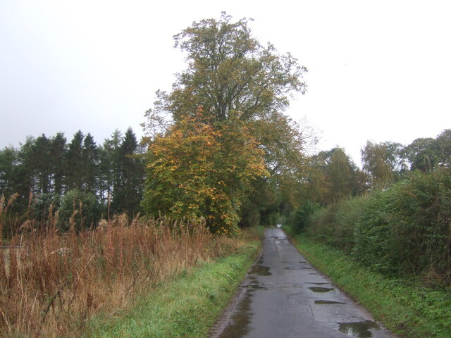
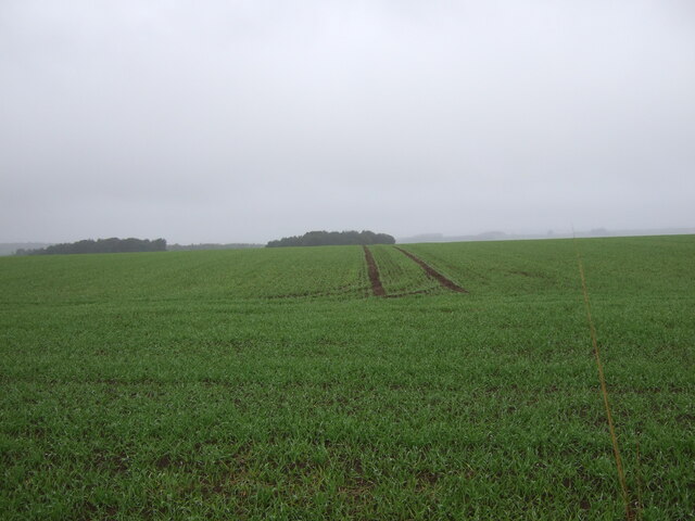
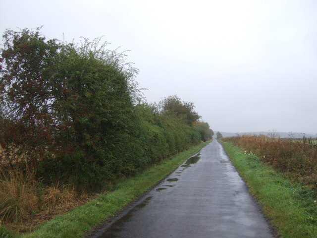
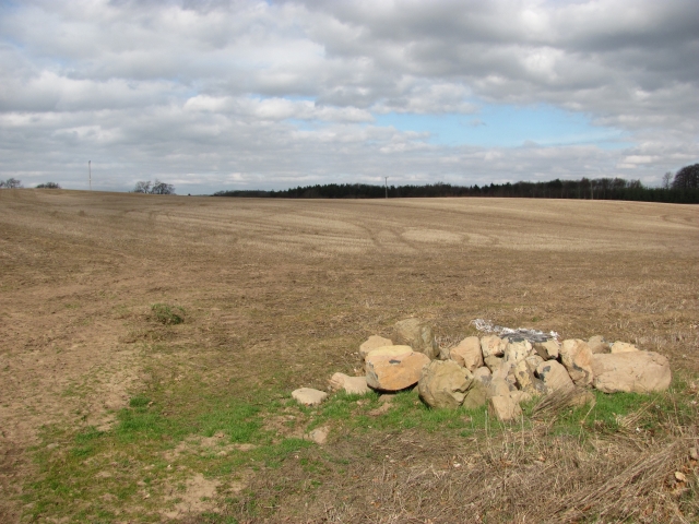
Hardie's Burn Strip Images
Images are sourced within 2km of 55.55864/-2.5283642 or Grid Reference NT6629. Thanks to Geograph Open Source API. All images are credited.


Hardie's Burn Strip is located at Grid Ref: NT6629 (Lat: 55.55864, Lng: -2.5283642)
Unitary Authority: The Scottish Borders
Police Authority: The Lothians and Scottish Borders
What 3 Words
///budget.enhanced.intruding. Near Maxwellheugh, Scottish Borders
Nearby Locations
Related Wikis

Rutherford railway station
Rutherford railway station served the parish of Maxton, Roxburghshire, Scotland from 1851 to 1964 on the Kelso Line. == History == The station opened in...

Makerstoun
Makerstoun is a parish in the Scottish Borders area of Scotland, as well as the historic county of Roxburghshire, 4 miles (6 km) south-west of Kelso.The...

Roxburgh railway station
Roxburgh railway station was on the Kelso Line, and served the village of Roxburgh, Scottish Borders, from 1850 to 1964. == History == The station was...

Kirkbank railway station
Kirkbank railway station served Old Ormiston, in the Scottish Borders, Scotland from 1856 to 1948 on the Jedburgh Railway. == History == The station opened...
Nearby Amenities
Located within 500m of 55.55864,-2.5283642Have you been to Hardie's Burn Strip?
Leave your review of Hardie's Burn Strip below (or comments, questions and feedback).