North Muir

Wood, Forest in Roxburghshire

Scotland

North Muir

Field and hedgerow, Roxburgh Moor
Field and hedgerow, Roxburgh Moor Credit: JThomas

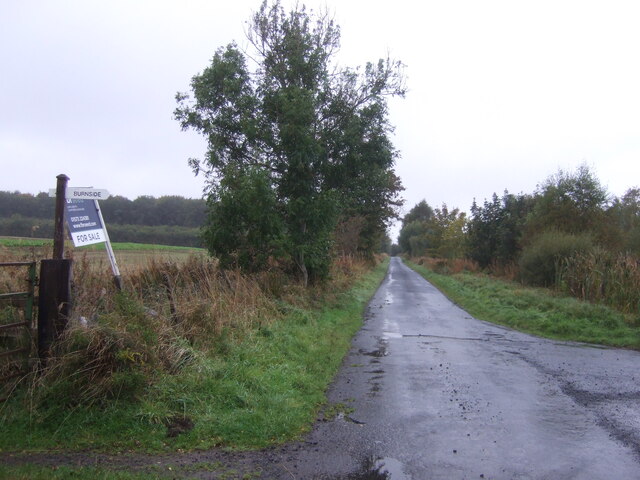
North Muir is a small village located in the county of Roxburghshire, Scotland. Nestled amidst the picturesque surroundings of wood and forest, this tranquil settlement is known for its natural beauty and serene atmosphere. With a population of approximately 200 residents, it offers a close-knit community where neighbors are familiar faces and a strong sense of belonging prevails.

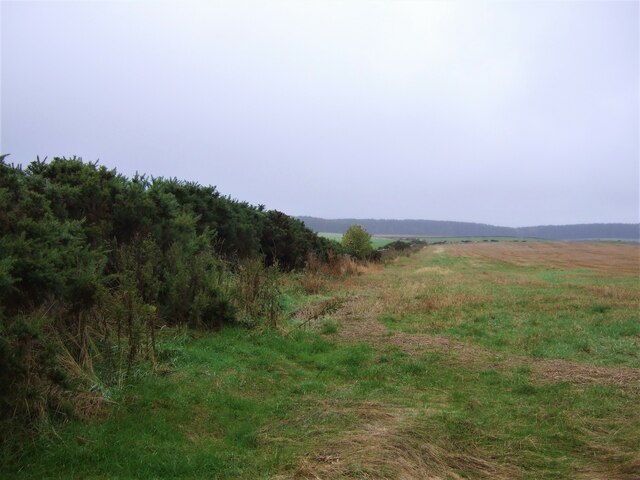
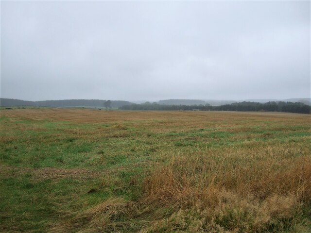
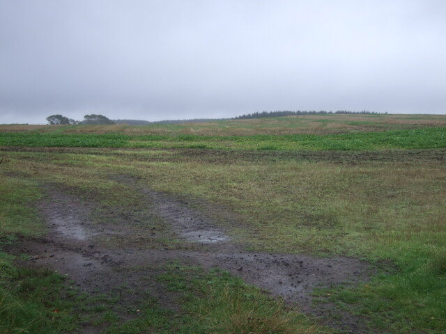
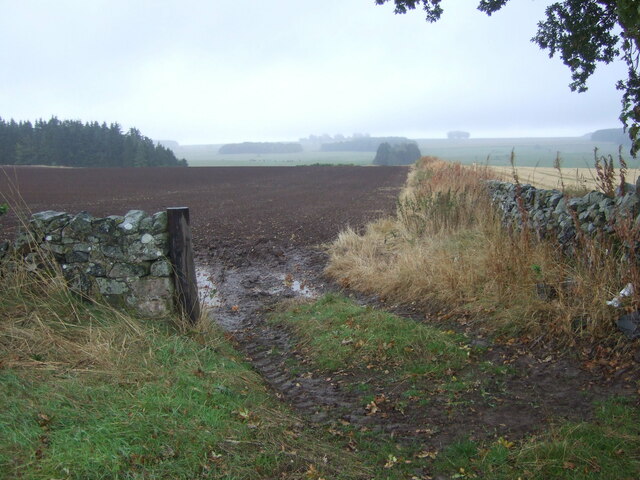
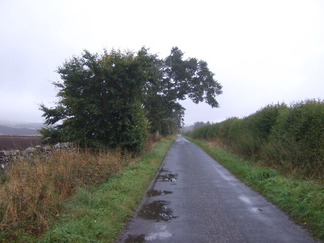
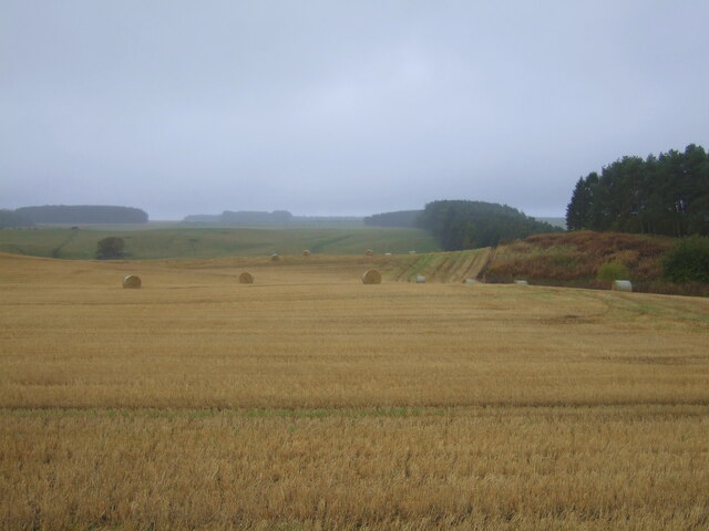
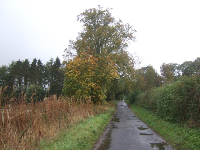
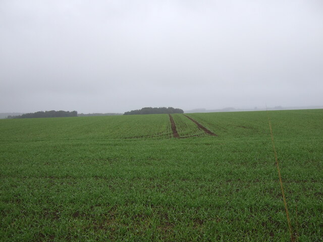
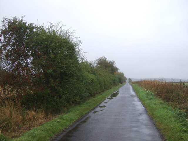
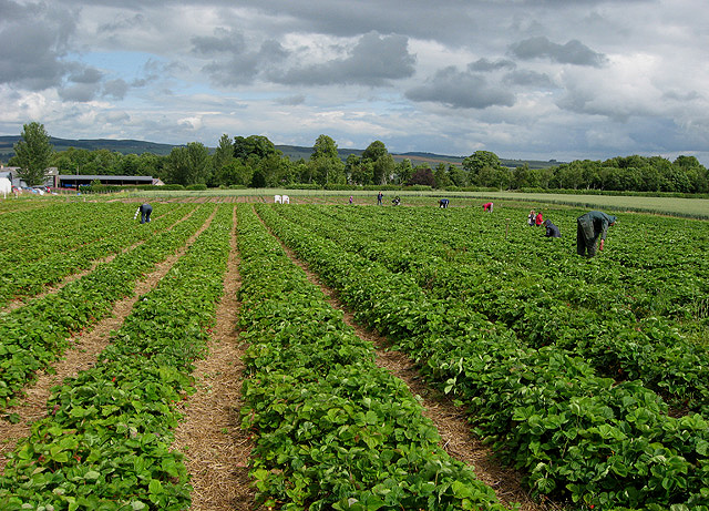
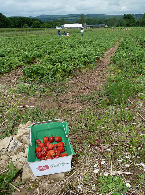
The village is characterized by its lush greenery, with dense forests and woodlands extending as far as the eye can see. These natural landscapes not only provide a breathtaking backdrop but also offer numerous recreational opportunities for residents and visitors alike. The woodlands are home to a diverse range of wildlife, making it a haven for nature enthusiasts and birdwatchers.

North Muir boasts a rich history, with evidence of human habitation dating back centuries. The village is dotted with historical landmarks, including ancient ruins and archaeological sites, which serve as a testament to its past. The local community takes great pride in preserving these remnants of the past and actively promotes cultural heritage.

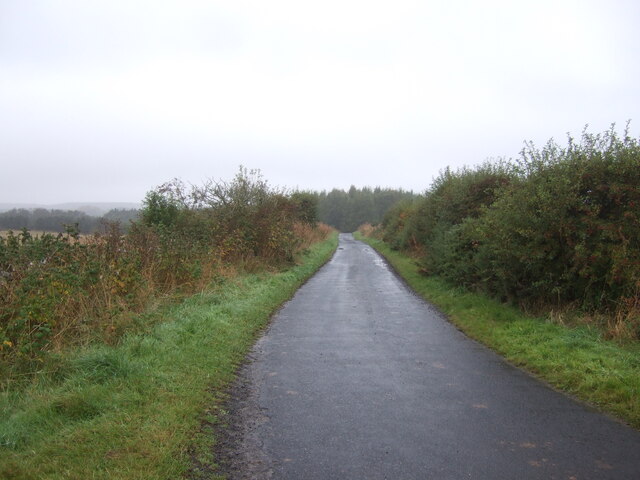
Despite its rural setting, North Muir is well-connected to nearby towns and cities, with good transport links ensuring easy accessibility. The village is also equipped with essential amenities, including a local school, shops, and recreational facilities.

In summary, North Muir in Roxburghshire is a charming village immersed in the beauty of wood and forest. With its natural surroundings, rich history, and strong community spirit, it offers a peaceful and idyllic haven for those seeking a tranquil lifestyle amidst nature's embrace.

If you have any feedback on the listing, please let us know in the comments section below.

North Muir Images

Images are sourced within 2km of 55.561788/-2.5358424 or Grid Reference NT6629. Thanks to Geograph Open Source API. All images are credited.

Field and hedgerow, Roxburgh Moor
Field, Roxburgh Moor
Minor road, Roxburgh Moor Towards Spot Wood.
Minor road, Roxburgh Moor
Towards Spot Wood.
Crop field near Rutherford Burnside Towards Hardie's Burn Strip woodland.
Crop field near Rutherford Burnside
Towards Hardie's Burn Strip woodland.
Minor road near Rutherford Burnside Towards Pirnie.
Minor road near Rutherford Burnside
Towards Pirnie.
Field entrance near Pirnie
Minor road towards Pirnie
Stubble field, Pirnie Bales still out on the field.
Stubble field, Pirnie
Bales still out on the field.
Minor road, Pirnie On a damp morning in Autumn.
Minor road, Pirnie
On a damp morning in Autumn.
Winter cereal crop, Roxburgh Moor Towards two small woodlands.
Winter cereal crop, Roxburgh Moor
Towards two small woodlands.
Minor road, Roxburgh Moor
Arable land, Rutherford Burnside Several fields here have recently accumulated piles of stones. This suggests a recent switch to arable use.
Arable land, Rutherford Burnside
Several fields here have recently accumulated piles of stones. This suggests a recent switch to arable use.
Rutherford Burnside Newly emerging cereal crop in dry conditions.
Rutherford Burnside
Newly emerging cereal crop in dry conditions.
Border Berries at Rutherford Farm Two large fields on the south side of the main farm buildings are used during the summer months as a pick your own fruit farm. The main fruits are strawberries, raspberries, gooseberries, red currants and black currants. On this occasion I was picking strawberries.
Border Berries at Rutherford Farm
Two large fields on the south side of the main farm buildings are used during the summer months as a pick your own fruit farm. The main fruits are strawberries, raspberries, gooseberries, red currants and black currants. On this occasion I was picking strawberries.
Border Berries A large area on the south side of Rutherford Farm buildings is used during the summer months as a pick your own fruit farm. The main fruits are strawberries, raspberries, gooseberries, red currants, black currants, Tay berries and black berries. Due to an unseasonably cold spring and recent inclement weather some fruits will ripen later than usual but strawberries were ready for picking on my visit.
Border Berries
A large area on the south side of Rutherford Farm buildings is used during the summer months as a pick your own fruit farm. The main fruits are strawberries, raspberries, gooseberries, red currants, black currants, Tay berries and black berries. Due to an unseasonably cold spring and recent inclement weather some fruits will ripen later than usual but strawberries were ready for picking on my visit.
Tweed flood plain near Rutherford Grassland beside the Tweed.
Tweed flood plain near Rutherford
Grassland beside the Tweed.
Roxburgh Newtown Sheep graze beside the Stockstruther Burn on land obviously unsuited to arable use.
Roxburgh Newtown
Sheep graze beside the Stockstruther Burn on land obviously unsuited to arable use.
Stockstruther Burn Flowing between steep banks towards the Tweed.
Stockstruther Burn
Flowing between steep banks towards the Tweed.
Show me another place!

North Muir is located at Grid Ref: NT6629 (Lat: 55.561788, Lng: -2.5358424)

Unitary Authority: The Scottish Borders

Police Authority: The Lothians and Scottish Borders

What 3 Words

///manliness.walks.acquaint. Near Saint Boswells, Scottish Borders

Related Wikis

Rutherford railway station

Rutherford railway station served the parish of Maxton, Roxburghshire, Scotland from 1851 to 1964 on the Kelso Line. == History == The station opened in...

Makerstoun

Makerstoun is a parish in the Scottish Borders area of Scotland, as well as the historic county of Roxburghshire, 4 miles (6 km) south-west of Kelso.The...

Borders Abbeys Way

The Borders Abbeys Way is a long-distance footpath in the Scottish Borders area of Scotland. It is a circular walkway and is 109 kilometres (68 mi) in...

Roxburgh railway station

Roxburgh railway station was on the Kelso Line, and served the village of Roxburgh, Scottish Borders, from 1850 to 1964. == History == The station was...

Nearby Amenities

Located within 500m of 55.561788,-2.5358424
Burnside Road End
Local Ref: AT
Naptan AtcoCode: 69001507
Naptan Bearing: NE
Naptan BusStopType: CUS
Naptan CommonName: Burnside Road End
Naptan Indicator: At
Naptan Landmark: Road Junction
Naptan NaptanCode: 72726285
Naptan Street: Rutherford Burnside
Naptan Verified: no
Source: naptan_import
Lat/Long: 55.560756/-2.5336985
Burnside Road End
Naptan AtcoCode: 69001508
Naptan Bearing: SW
Naptan BusStopType: CUS
Naptan CommonName: Burnside Road End
Naptan Indicator: Opp
Naptan Landmark: Road Junction
Naptan NaptanCode: 72726294
Naptan Street: Rutherford Burnside
Naptan Verified: no
Source: naptan_import
Lat/Long: 55.5605946/-2.5336329
Rutherford Burnside
Place: hamlet
Lat/Long: 55.5634145/-2.5369031
Power: pole
Lat/Long: 55.5644143/-2.529785
Power: pole
Lat/Long: 55.5641173/-2.5307738
Power: pole
Lat/Long: 55.5638086/-2.5317625
Power: pole
Lat/Long: 55.5635159/-2.5327488
Power: pole
Lat/Long: 55.5632203/-2.533735
Power: pole
Lat/Long: 55.5628825/-2.5348474
Power: pole
Lat/Long: 55.5626116/-2.5357306
Power: pole
Lat/Long: 55.5621078/-2.537291
Power: pole
Lat/Long: 55.5616418/-2.5399252
Power: pole
Lat/Long: 55.5620525/-2.5408084
Power: pole
Lat/Long: 55.5624864/-2.5416942
Power: pole
Lat/Long: 55.5629145/-2.5425774
Give Way
Direction: forward
Lat/Long: 55.5606862/-2.5337383
The data included in this document is from www.openstreetmap.org. The data is made available under ODbL.

Have you been to North Muir?

Leave your review of North Muir below (or comments, questions and feedback).