Nursery Wood

Wood, Forest in Roxburghshire

Scotland

Nursery Wood

Field and hedgerow, Roxburgh Moor
Field and hedgerow, Roxburgh Moor Credit: JThomas

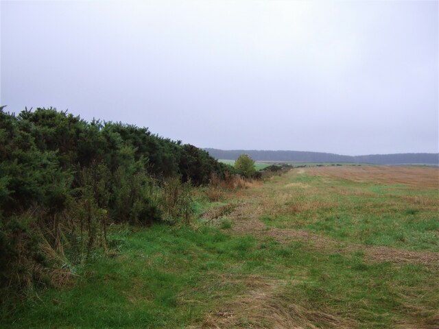
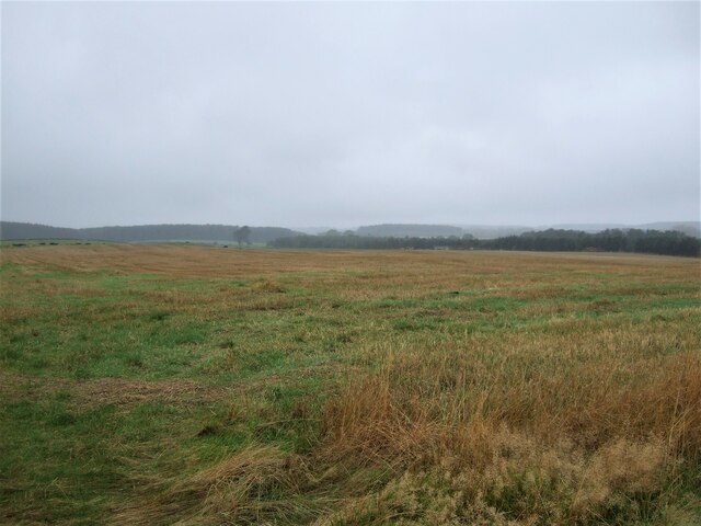
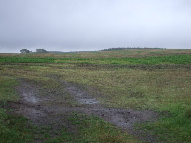
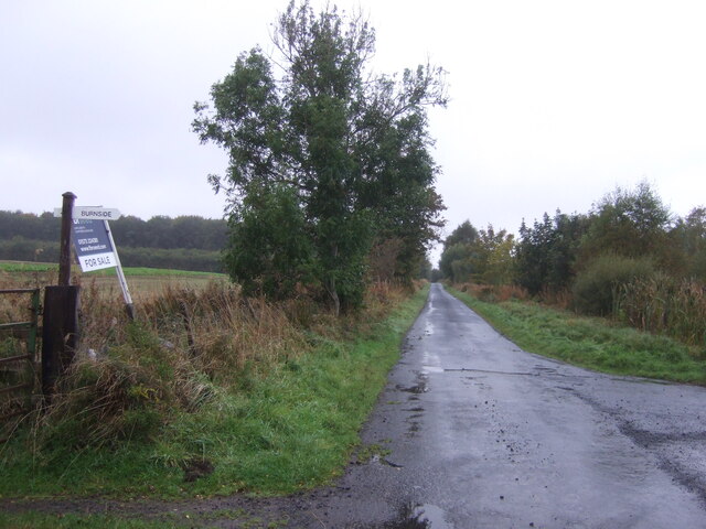
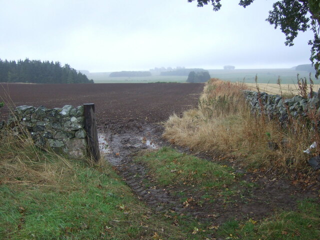
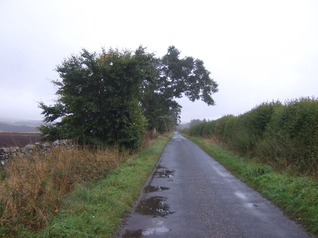
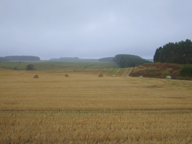
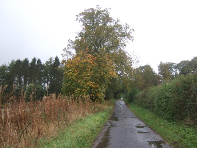
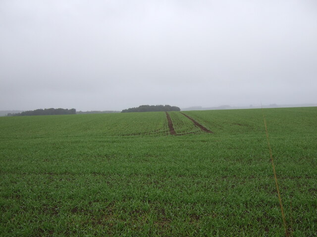
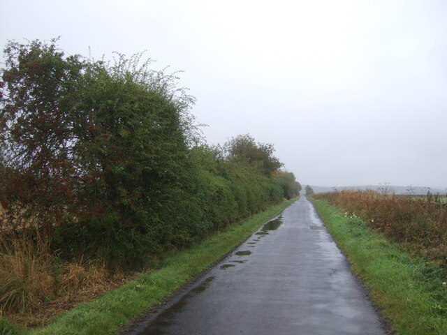
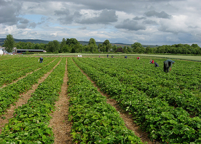
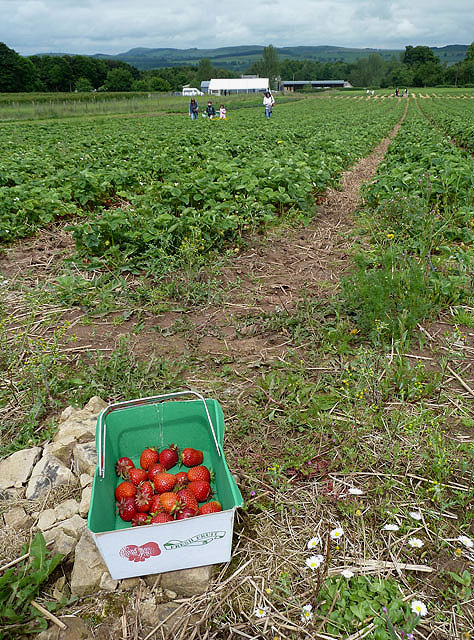
Nursery Wood, located in Roxburghshire, Scotland, is a picturesque woodland that covers an area of approximately 100 acres. It is situated in the scenic countryside, surrounded by rolling hills and lush green fields. The wood is known for its diverse range of trees and wildlife, making it a popular destination for nature enthusiasts and outdoor lovers.

The wood is primarily composed of native tree species, including oak, birch, ash, and beech. These trees provide a rich habitat for a variety of bird species, such as woodpeckers, owls, and songbirds. The forest floor is adorned with a carpet of wildflowers and ferns, adding to the beauty and tranquility of the area.

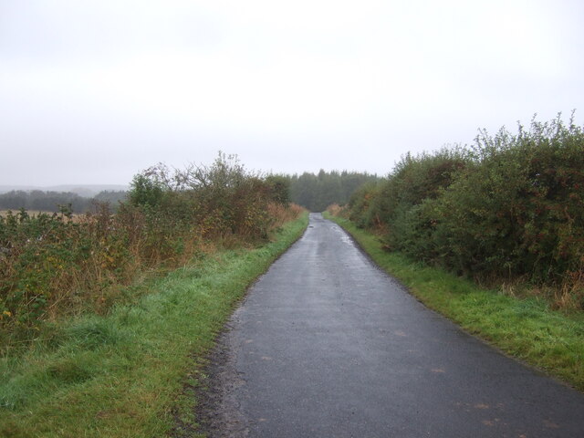
Nursery Wood offers several well-maintained walking trails, allowing visitors to explore its natural wonders at their own pace. The trails vary in difficulty, catering to both casual strollers and avid hikers. Along these paths, visitors can expect to encounter charming wooden bridges, babbling brooks, and breathtaking viewpoints that offer stunning vistas of the surrounding countryside.

For those interested in wildlife spotting, Nursery Wood provides ample opportunities to observe various mammals, including deer, foxes, and rabbits. The wood also serves as a habitat for numerous species of insects, butterflies, and small reptiles, adding to the ecological significance of the area.

Overall, Nursery Wood in Roxburghshire is a hidden gem that offers a haven of tranquility and natural beauty. Whether it's a leisurely stroll, birdwatching, or simply immersing oneself in the wonders of nature, this wood provides an idyllic setting for visitors to connect with the great outdoors.

If you have any feedback on the listing, please let us know in the comments section below.

Nursery Wood Images

Images are sourced within 2km of 55.557722/-2.5367858 or Grid Reference NT6629. Thanks to Geograph Open Source API. All images are credited.

Field and hedgerow, Roxburgh Moor
Field, Roxburgh Moor
Minor road, Roxburgh Moor Towards Spot Wood.
Minor road, Roxburgh Moor
Towards Spot Wood.
Crop field near Rutherford Burnside Towards Hardie's Burn Strip woodland.
Crop field near Rutherford Burnside
Towards Hardie's Burn Strip woodland.
Minor road near Rutherford Burnside Towards Pirnie.
Minor road near Rutherford Burnside
Towards Pirnie.
Field entrance near Pirnie
Minor road towards Pirnie
Stubble field, Pirnie Bales still out on the field.
Stubble field, Pirnie
Bales still out on the field.
Minor road, Pirnie On a damp morning in Autumn.
Minor road, Pirnie
On a damp morning in Autumn.
Farm track near Pirnie
Grazing near Pirnie
Grazing near Pirnie
Minor road near Pirnie Towards Fairnington.
Minor road near Pirnie
Towards Fairnington.
Winter cereal crop, Roxburgh Moor Towards two small woodlands.
Winter cereal crop, Roxburgh Moor
Towards two small woodlands.
Minor road, Roxburgh Moor
Arable land, Rutherford Burnside Several fields here have recently accumulated piles of stones. This suggests a recent switch to arable use.
Arable land, Rutherford Burnside
Several fields here have recently accumulated piles of stones. This suggests a recent switch to arable use.
Rutherford Burnside Newly emerging cereal crop in dry conditions.
Rutherford Burnside
Newly emerging cereal crop in dry conditions.
Border Berries at Rutherford Farm Two large fields on the south side of the main farm buildings are used during the summer months as a pick your own fruit farm. The main fruits are strawberries, raspberries, gooseberries, red currants and black currants. On this occasion I was picking strawberries.
Border Berries at Rutherford Farm
Two large fields on the south side of the main farm buildings are used during the summer months as a pick your own fruit farm. The main fruits are strawberries, raspberries, gooseberries, red currants and black currants. On this occasion I was picking strawberries.
Border Berries A large area on the south side of Rutherford Farm buildings is used during the summer months as a pick your own fruit farm. The main fruits are strawberries, raspberries, gooseberries, red currants, black currants, Tay berries and black berries. Due to an unseasonably cold spring and recent inclement weather some fruits will ripen later than usual but strawberries were ready for picking on my visit.
Border Berries
A large area on the south side of Rutherford Farm buildings is used during the summer months as a pick your own fruit farm. The main fruits are strawberries, raspberries, gooseberries, red currants, black currants, Tay berries and black berries. Due to an unseasonably cold spring and recent inclement weather some fruits will ripen later than usual but strawberries were ready for picking on my visit.
Show me another place!

Nursery Wood is located at Grid Ref: NT6629 (Lat: 55.557722, Lng: -2.5367858)

Unitary Authority: The Scottish Borders

Police Authority: The Lothians and Scottish Borders

What 3 Words

///clinking.stumpy.panther. Near Saint Boswells, Scottish Borders

Related Wikis

Rutherford railway station

Rutherford railway station served the parish of Maxton, Roxburghshire, Scotland from 1851 to 1964 on the Kelso Line. == History == The station opened in...

Borders Abbeys Way

The Borders Abbeys Way is a long-distance footpath in the Scottish Borders area of Scotland. It is a circular walkway and is 109 kilometres (68 mi) in...

Makerstoun

Makerstoun is a parish in the Scottish Borders area of Scotland, as well as the historic county of Roxburghshire, 4 miles (6 km) south-west of Kelso.The...

Waterloo Monument

The Waterloo Monument near Ancrum in the Scottish Borders is a 150-foot tower, built between 1817 and 1824 to commemorate the Battle of Waterloo. It was...

Peniel Heugh

Peniel Heugh (237 m) is a hill near Ancrum and Nisbet in the Scottish Borders area of Scotland. On it stands the Waterloo Monument. == Geology == The heugh...

Roxburgh railway station

Roxburgh railway station was on the Kelso Line, and served the village of Roxburgh, Scottish Borders, from 1850 to 1964. == History == The station was...

Kirkbank railway station

Kirkbank railway station served Old Ormiston, in the Scottish Borders, Scotland from 1856 to 1948 on the Jedburgh Railway. == History == The station opened...

Wallace's Tower

Wallace's Tower is a ruined 16th-century L-plan tower house, about 3 miles (4.8 km) south west Kelso, Scottish Borders, Scotland, in Roxburgh, west of...

Nearby Amenities

Located within 500m of 55.557722,-2.5367858
Burnside Road End
Local Ref: AT
Naptan AtcoCode: 69001507
Naptan Bearing: NE
Naptan BusStopType: CUS
Naptan CommonName: Burnside Road End
Naptan Indicator: At
Naptan Landmark: Road Junction
Naptan NaptanCode: 72726285
Naptan Street: Rutherford Burnside
Naptan Verified: no
Source: naptan_import
Lat/Long: 55.560756/-2.5336985
Burnside Road End
Naptan AtcoCode: 69001508
Naptan Bearing: SW
Naptan BusStopType: CUS
Naptan CommonName: Burnside Road End
Naptan Indicator: Opp
Naptan Landmark: Road Junction
Naptan NaptanCode: 72726294
Naptan Street: Rutherford Burnside
Naptan Verified: no
Source: naptan_import
Lat/Long: 55.5605946/-2.5336329
Power: pole
Lat/Long: 55.5621078/-2.537291
Power: pole
Lat/Long: 55.5616418/-2.5399252
Give Way
Direction: forward
Lat/Long: 55.5606862/-2.5337383
The data included in this document is from www.openstreetmap.org. The data is made available under ODbL.

Have you been to Nursery Wood?

Leave your review of Nursery Wood below (or comments, questions and feedback).