Tam's Wood

Wood, Forest in Banffshire

Scotland

Tam's Wood

Old Milestone by the B9025, Burnside of Carnousie, Forglen Parish By the B9025, in parish of Forglen (Aberdeen District), Burnside of Carnousie, near junction sign and commercial vehicle premises, North side of road.

Inscription reads:- : 39 : (To Aberdeen)

Surveyed

Milestone Society National ID: AD_TRAC39
Old Milestone by the B9025, Burnside of Carnousie, Forglen Parish Credit: Milestone Society

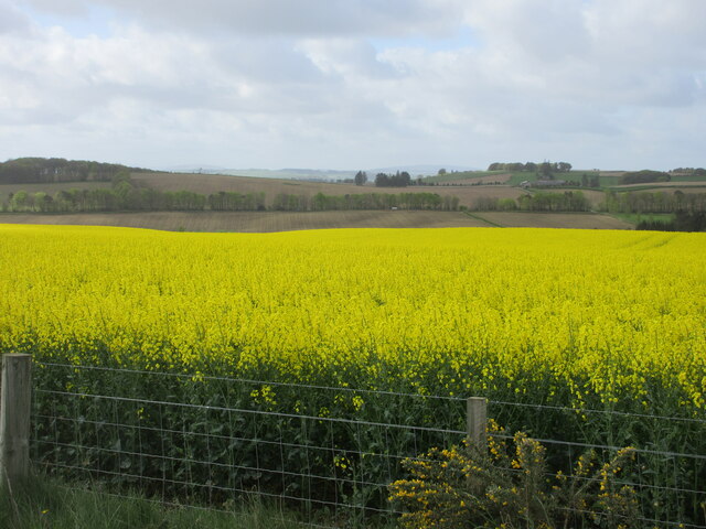
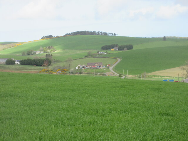
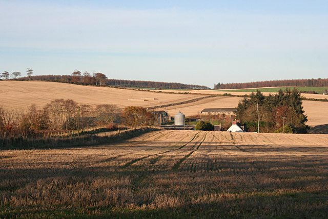
Tam's Wood is a beautiful forest located in Banffshire, Scotland. Covering an area of approximately 100 acres, this woodland is known for its diverse range of flora and fauna, making it a popular destination for nature lovers and outdoor enthusiasts.

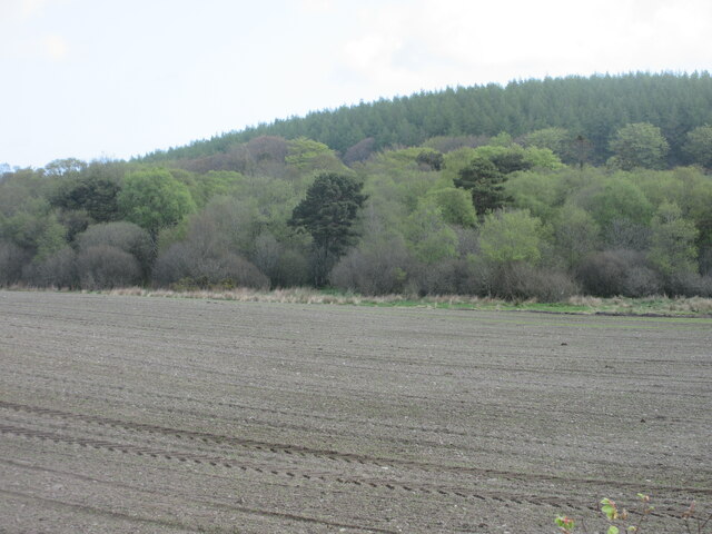
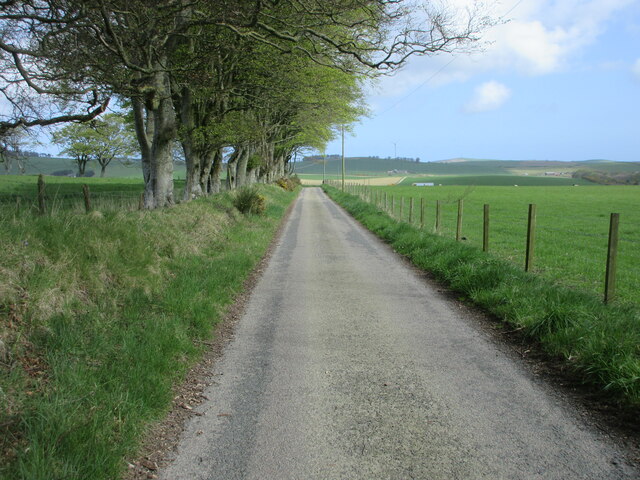
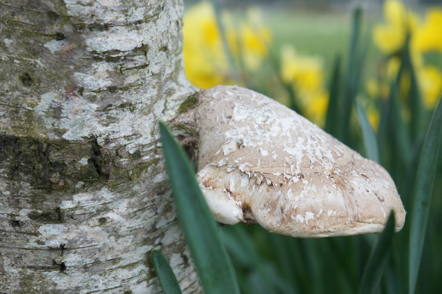
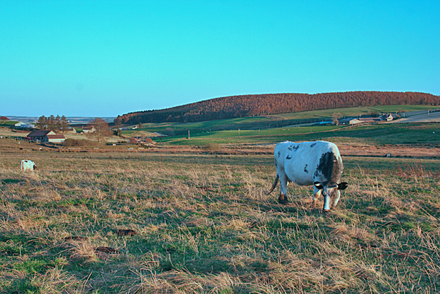
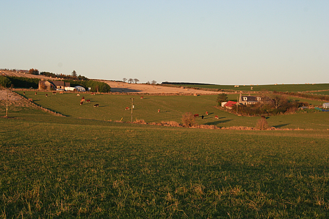
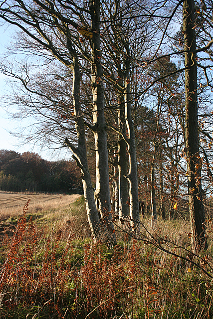
The forest is predominantly made up of native species such as oak, birch, and pine trees, creating a lush and vibrant environment that is home to a variety of wildlife including deer, squirrels, and a wide array of bird species. Visitors to Tam's Wood can enjoy peaceful walks along the well-maintained trails that wind through the forest, providing stunning views of the surrounding countryside.

In addition to its natural beauty, Tam's Wood also has a rich history, with evidence of ancient settlements and archaeological sites scattered throughout the area. This adds an extra layer of interest for those looking to explore the cultural heritage of the region.

Overall, Tam's Wood is a tranquil and picturesque destination that offers a perfect escape from the hustle and bustle of everyday life, allowing visitors to immerse themselves in the beauty of nature and experience a slice of Scotland's wild and rugged landscape.

If you have any feedback on the listing, please let us know in the comments section below.
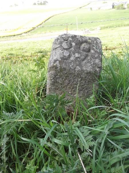
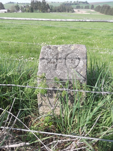
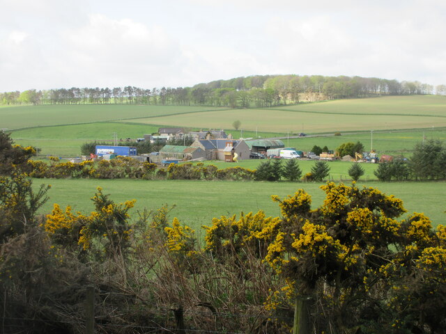
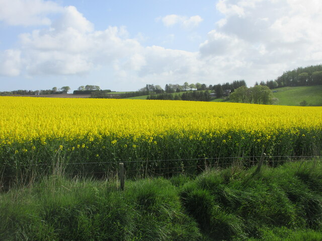
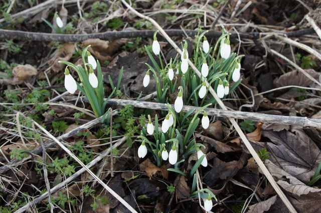
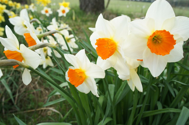
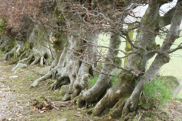
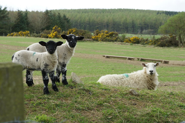
Tam's Wood Images

Images are sourced within 2km of 57.578314/-2.5658525 or Grid Reference NJ6654. Thanks to Geograph Open Source API. All images are credited.

Old Milestone by the B9025, Burnside of Carnousie, Forglen Parish By the B9025, in parish of Forglen (Aberdeen District), Burnside of Carnousie, near junction sign and commercial vehicle premises, North side of road.

Inscription reads:- : 39 : (To Aberdeen)

Surveyed

Milestone Society National ID: AD_TRAC39
Old Milestone by the B9025, Burnside of Carnousie, Forglen Parish
By the B9025, in parish of Forglen (Aberdeen District), Burnside of Carnousie, near junction sign and commercial vehicle premises, North side of road. Inscription reads:- : 39 : (To Aberdeen) Surveyed Milestone Society National ID: AD_TRAC39
Old Milestone by the B925, Forglen parish Stone post by the B925, in parish of Forglen (Aberdeen District), 15m West of lane to Sweerburn, on verge behind wire fence.

Inscription reads:-
40
(To Aberdeen)

Surveyed

Milestone Society National ID: AD_TRAC40
Old Milestone by the B925, Forglen parish
Stone post by the B925, in parish of Forglen (Aberdeen District), 15m West of lane to Sweerburn, on verge behind wire fence. Inscription reads:- 40 (To Aberdeen) Surveyed Milestone Society National ID: AD_TRAC40
Bridgend from the north-east Looking south-west to Bridgend by the B9025.
Bridgend from the north-east
Looking south-west to Bridgend by the B9025.
Oil-seed rape near Brownside Looking east to a field of oil-seed rape near Brownside.
Oil-seed rape near Brownside
Looking east to a field of oil-seed rape near Brownside.
Oil-seed rape near Whitefield Looking south-westwards across a field of oil-seed rape near Whitefield.
Oil-seed rape near Whitefield
Looking south-westwards across a field of oil-seed rape near Whitefield.
Tams's Wood Mixed woodland of Tams's Wood, with the conifers of Brownside Wood beyond on the hillside.
Tams's Wood
Mixed woodland of Tams's Wood, with the conifers of Brownside Wood beyond on the hillside.
Road near Cooperhill Minor road heading north near Cooperhill.
Road near Cooperhill
Minor road heading north near Cooperhill.
Looking down the hill to Glinne Taobh A distant view from the south to the house at Glinne Taobh near Barbethill.
Looking down the hill to Glinne Taobh
A distant view from the south to the house at Glinne Taobh near Barbethill.
Snowdrops Snowdrop photo taken on the farm road to North Burreldales farm
Snowdrops
Snowdrop photo taken on the farm road to North Burreldales farm
Daffodils Daffodils on farm road leading to North Burreldales Farm.
Daffodils
Daffodils on farm road leading to North Burreldales Farm.
Beech Hedge Garden Hedge at North Burreldales farm house.
Beech Hedge
Garden Hedge at North Burreldales farm house.
Lambs and Ewe Lambs at North Burreldales farm looking towards Brownside Wood.
Lambs and Ewe
Lambs at North Burreldales farm looking towards Brownside Wood.
A perfect Fungus Tree fungus on farm road to North Burreldales.
This has been identified as a Birch tree polypore - Piptoporus betulinus. Thanks to MJ Richardson for the identification
A perfect Fungus
Tree fungus on farm road to North Burreldales. This has been identified as a Birch tree polypore - Piptoporus betulinus. Thanks to MJ Richardson for the identification
Rhubarb flower Rhubarb flower in the garden at North Burreldales
Rhubarb flower
Rhubarb flower in the garden at North Burreldales
Near Lower Deuchries On the left is Burngrains, and in the distance, on the right, is the oddly named Commissarybog.
Near Lower Deuchries
On the left is Burngrains, and in the distance, on the right, is the oddly named Commissarybog.
Barbethill Barbethill, on the left in this view, is on the edge of this square. The farm on the right is also in square, but unnamed on the maps.
Barbethill
Barbethill, on the left in this view, is on the edge of this square. The farm on the right is also in square, but unnamed on the maps.
Shelter Belt Most of the shelter belts around here are of broadleaved trees, usually beech.
Shelter Belt
Most of the shelter belts around here are of broadleaved trees, usually beech.
Burnside of Carnousie The burn in question is the Cunning Burn, which drains into the River Deveron near the imaginatively named Burnend.
Burnside of Carnousie
The burn in question is the Cunning Burn, which drains into the River Deveron near the imaginatively named Burnend.
Show me another place!

Tam's Wood is located at Grid Ref: NJ6654 (Lat: 57.578314, Lng: -2.5658525)

Unitary Authority: Aberdeenshire

Police Authority: North East

What 3 Words

///repaying.farms.plodding. Near Aberchirder, Aberdeenshire

Related Wikis

Whitehill Wood, Aberdeenshire

Whitehill Wood is a wood and megalithic stone circle in Aberdeenshire, Scotland, located off the B9025 road between Aberchirder and Turriff and between...

Bogton

Bogton is a rural area in Aberdeenshire, Scotland. To the south is Whitehill Wood and megalithic circle. == References ==

Aberchirder

Aberchirder (Scots: Fogieloan, Scottish Gaelic: Obar Chiardair) known locally as Foggieloan or Foggie, is a village in Aberdeenshire, Scotland, situated...
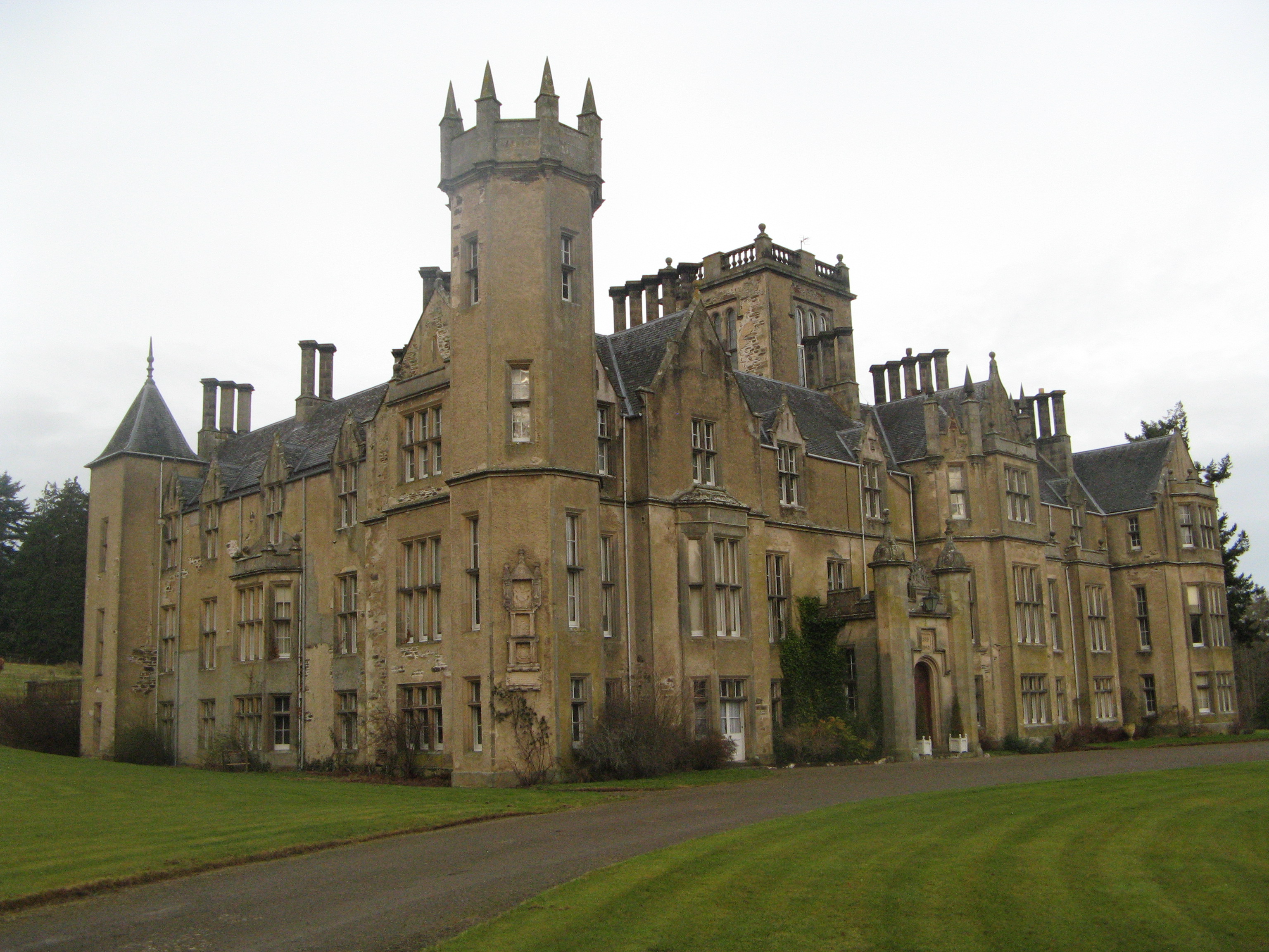
Forglen House

Forglen House is a mansion house that forms the centrepiece of the Forglen estate in the parish of Forglen, north-west of Turriff, Aberdeenshire, in the...

Nearby Amenities

Located within 500m of 57.578314,-2.5658525
Power: pole
Lat/Long: 57.5822811/-2.5679301
Power: pole
Lat/Long: 57.5816797/-2.5672457
Power: pole
Lat/Long: 57.5809586/-2.5664179
Power: pole
Lat/Long: 57.5817604/-2.5711801
Power: pole
Lat/Long: 57.5813847/-2.5710202
Power: pole
Lat/Long: 57.5814061/-2.5702935
Power: pole
Lat/Long: 57.581478/-2.5695175
Power: pole
Lat/Long: 57.581541/-2.5687508
Power: pole
Lat/Long: 57.5816141/-2.5679912
Power: pole
Lat/Long: 57.5767184/-2.5591266
Power: pole
Lat/Long: 57.576987/-2.5602765
Power: pole
Lat/Long: 57.5772291/-2.5612666
Power: pole
Lat/Long: 57.5774598/-2.5623248
Power: pole
Lat/Long: 57.5776956/-2.5633408
Power: pole
Lat/Long: 57.5782554/-2.5638229
Power: pole
Lat/Long: 57.5788026/-2.5643073
Power: pole
Lat/Long: 57.5793788/-2.5647871
Power: pole
Lat/Long: 57.5799392/-2.5652644
Power: pole
Lat/Long: 57.5804738/-2.5658629
Generator Method: wind_turbine
Generator Output Electricity: yes
Generator Source: wind
Generator Type: horizontal_axis
Power: generator
Lat/Long: 57.5743992/-2.5678455
The data included in this document is from www.openstreetmap.org. The data is made available under ODbL.

Have you been to Tam's Wood?

Leave your review of Tam's Wood below (or comments, questions and feedback).