Pitgarvie Wood

Wood, Forest in Kincardineshire

Scotland

Pitgarvie Wood

Luthermuir Primary School Luthermuir Primary School from the roadside at the eastern end of the village.
Luthermuir Primary School Credit: Scott Cormie

The requested URL returned error: 429 Too Many Requests

If you have any feedback on the listing, please let us know in the comments section below.

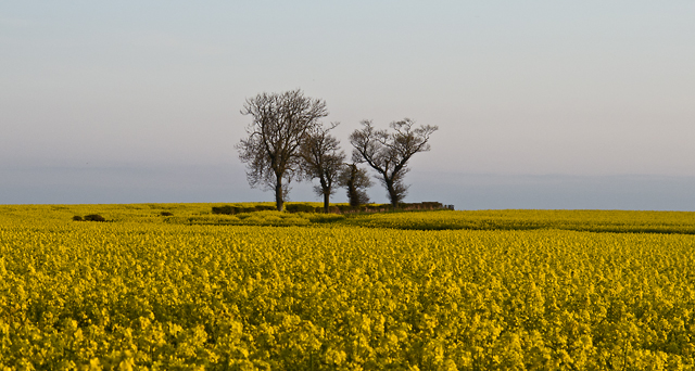
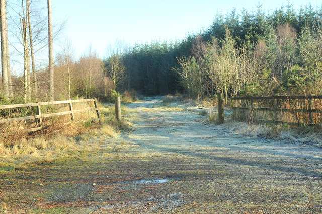
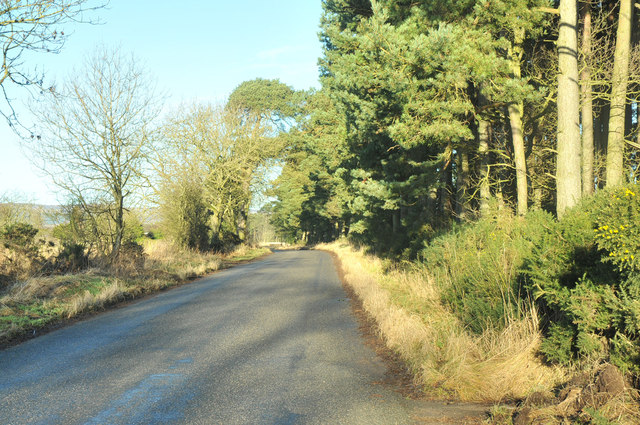
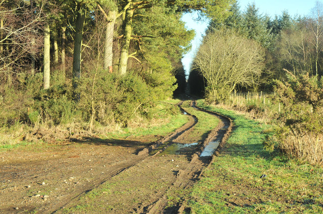
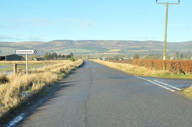
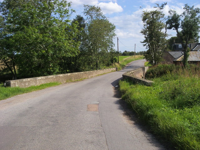
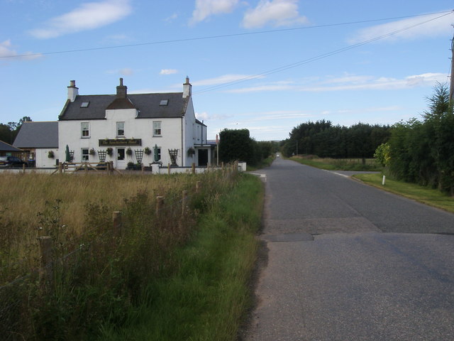
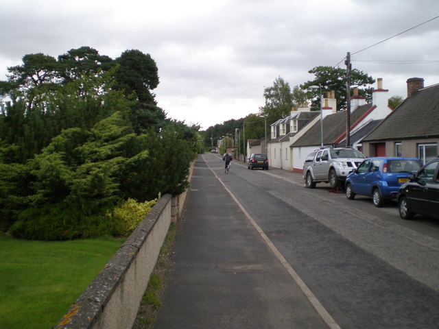
Pitgarvie Wood Images

Images are sourced within 2km of 56.822511/-2.5457044 or Grid Reference NO6670. Thanks to Geograph Open Source API. All images are credited.

Luthermuir Primary School Luthermuir Primary School from the roadside at the eastern end of the village.
Luthermuir Primary School
Luthermuir Primary School from the roadside at the eastern end of the village.
Cattle near Sauchieburn Cattle next to the B974 just south of Sauchieburn.
Cattle near Sauchieburn
Cattle next to the B974 just south of Sauchieburn.
Barley field north of Luthermuir Vast field of barley to the north of Luthermuir, with the Hill of Wirren in the distance to the north-west.
Barley field north of Luthermuir
Vast field of barley to the north of Luthermuir, with the Hill of Wirren in the distance to the north-west.
Thornton Home Farm Was originally called Burgarton.  Now two houses, farm buildings not used.
(based on 1863 survey OS maps <span class="nowrap"><a title="http://maps.nls.uk/os/6inch/view/?sid=74427609" rel="nofollow ugc noopener" href="http://maps.nls.uk/os/6inch/view/?sid=74427609">Link</a><img style="margin-left:2px;" alt="External link" title="External link - shift click to open in new window" src="https://s1.geograph.org.uk/img/external.png" width="10" height="10"/></span> )
Thornton Home Farm
Was originally called Burgarton. Now two houses, farm buildings not used. (based on 1863 survey OS maps LinkExternal link )
Brigton cottages Lane by Brigton cottages
Brigton cottages
Lane by Brigton cottages
Lane heading to Wakefield Lane from Brigton heading to Wakefield
Lane heading to Wakefield
Lane from Brigton heading to Wakefield
Coldstream Farm workers' houses
Oil seed rape field Many acres of oil seed rape farmed to the south of Fettercairn
Oil seed rape field
Many acres of oil seed rape farmed to the south of Fettercairn
Track into Little Thornton Wood
B974 past Lady Jane's Plantation
Track into Lady Jane's Plantation
Road junction on the B974 near Fettercairn
B974 heading across the bridge of Luther Water B974 heading across the Caldhame bridge of Luther Water towards the A90
B974 heading across the bridge of Luther Water
B974 heading across the Caldhame bridge of Luther Water towards the A90
The Sauchieburn Hotel B974 passing The Sauchieburn Hotel
The Sauchieburn Hotel
B974 passing The Sauchieburn Hotel
Lane heading over Luther Water bridge Lane by Mills of Barnes heading over Luther Water bridge
Lane heading over Luther Water bridge
Lane by Mills of Barnes heading over Luther Water bridge
Church Road, Luthermuir, towards NE
Minor road near Luthermuir
Show me another place!

Pitgarvie Wood is located at Grid Ref: NO6670 (Lat: 56.822511, Lng: -2.5457044)

Unitary Authority: Aberdeenshire

Police Authority: North East

What 3 Words

///exporters.skips.decoding. Near Laurencekirk, Aberdeenshire

Related Wikis

Luthermuir

Luthermuir is a village in Aberdeenshire, Scotland, UK. Historically the village was home to weavers and labourers. == Facilities == Luthermuir is home...

Thornton Castle, Marykirk

Thornton Castle, Marykirk, Aberdeenshire is a fortress or fortified residence in Marykirk, Aberdeenshire. Parts of the house date from 1531.It was the...

Marykirk railway station

Marykirk railway station served the village of Marykirk, Kincardineshire, Scotland from 1849 to 1956 on the Aberdeen Railway. == History == The station...

Fettercairn

Fettercairn (, Scottish Gaelic: Fothair Chàrdain) is a small village in Aberdeenshire, Scotland, northwest of Laurencekirk in Aberdeenshire on the B966...

Nearby Amenities

Located within 500m of 56.822511,-2.5457044
Power: pole
Lat/Long: 56.8242639/-2.5385231
Power: pole
Lat/Long: 56.8249296/-2.5524421
Power: pole
Lat/Long: 56.8243036/-2.5523638
Power: pole
Lat/Long: 56.8237002/-2.5522787
Power: pole
Lat/Long: 56.8229922/-2.5521843
Power: pole
Lat/Long: 56.8223069/-2.5520922
Power: pole
Lat/Long: 56.8217715/-2.5520231
Power: pole
Lat/Long: 56.821192/-2.5519449
Power: pole
Lat/Long: 56.8205798/-2.5518758
Power: pole
Lat/Long: 56.8199826/-2.5518067
Power: pole
Lat/Long: 56.8188531/-2.5480568
Power: pole
Lat/Long: 56.8190062/-2.549118
Power: pole
Lat/Long: 56.8191536/-2.5501769
Power: pole
Lat/Long: 56.8193086/-2.551199
The data included in this document is from www.openstreetmap.org. The data is made available under ODbL.

Have you been to Pitgarvie Wood?

Leave your review of Pitgarvie Wood below (or comments, questions and feedback).