Cairnmount Strip
Wood, Forest in Roxburghshire
Scotland
Cairnmount Strip
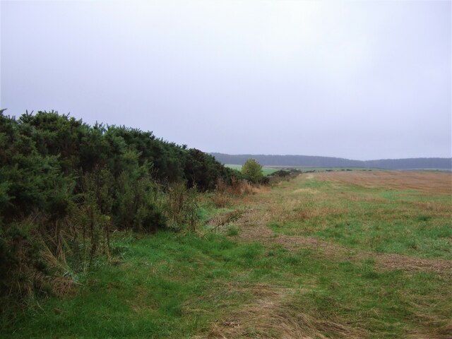
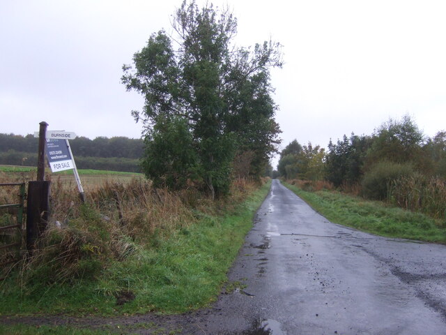
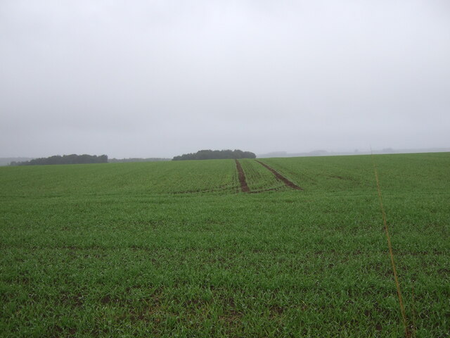
Cairnmount Strip, located in Roxburghshire, is a picturesque wooded area known for its dense forest cover and tranquil ambiance. Situated in the Scottish Borders region, this wood exudes natural beauty and offers a serene escape for nature enthusiasts and hikers.
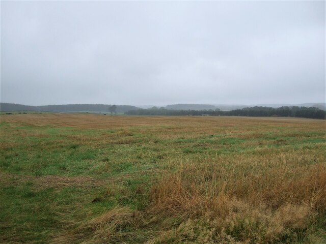
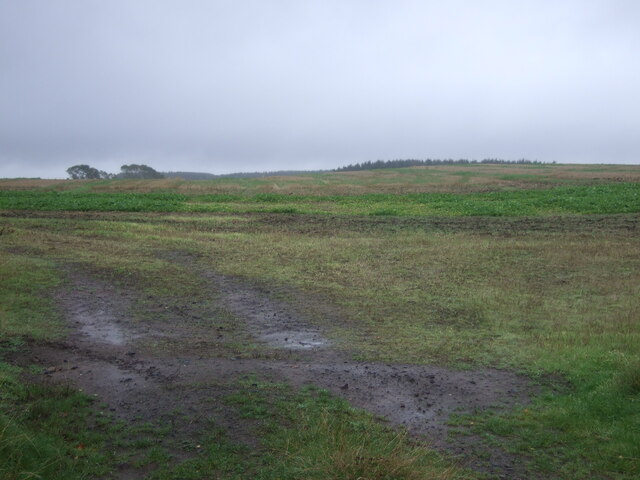
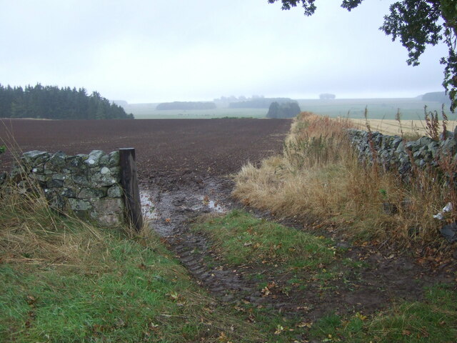
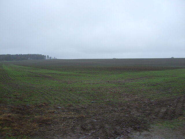
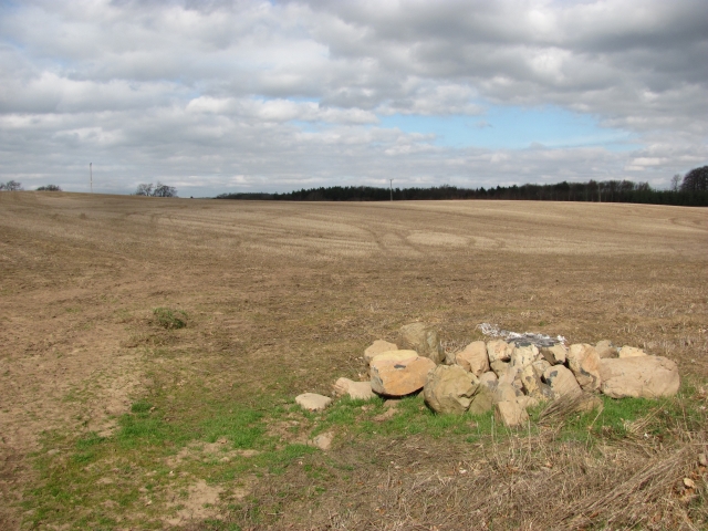
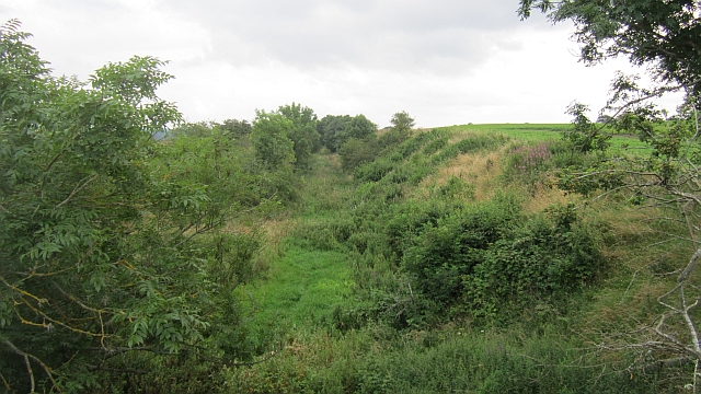
Covering an area of approximately 200 acres, Cairnmount Strip is characterized by its diverse range of trees, including oak, birch, and pine. These trees create a dense canopy, providing shade and shelter for a variety of flora and fauna. The forest floor is adorned with an array of wildflowers, such as bluebells and primroses, adding bursts of color to the landscape.
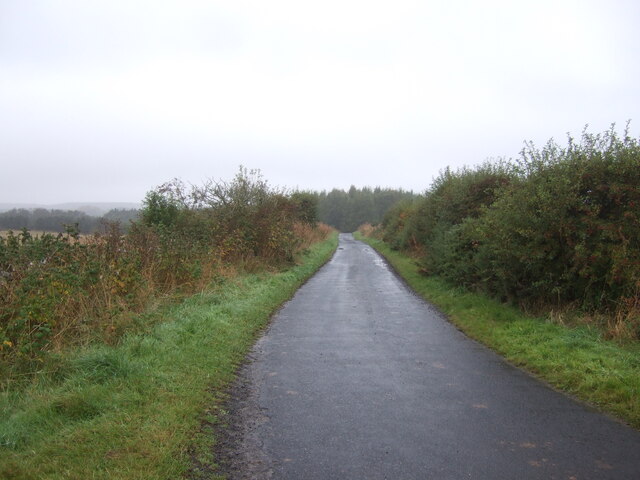
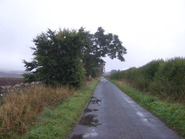
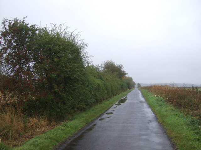
The wood is intersected by several well-maintained trails, allowing visitors to explore the area at their own pace. These paths lead to viewpoints that showcase breathtaking vistas of the surrounding countryside, including rolling hills and meandering streams. The tranquil atmosphere and abundance of wildlife make it an ideal spot for birdwatching and nature photography.
Cairnmount Strip is also steeped in history, with archaeological remains dating back to ancient times. The area has been inhabited for thousands of years, and evidence of human activity can be found in the form of stone circles and burial mounds.
Visitors to Cairnmount Strip can enjoy a range of outdoor activities, including hiking, picnicking, and wildlife spotting. The wood is easily accessible by car and offers ample parking facilities. With its natural beauty and rich history, Cairnmount Strip is a hidden gem in Roxburghshire, inviting visitors to immerse themselves in the enchanting Scottish countryside.
If you have any feedback on the listing, please let us know in the comments section below.
Cairnmount Strip Images
Images are sourced within 2km of 55.569066/-2.5276162 or Grid Reference NT6630. Thanks to Geograph Open Source API. All images are credited.


Cairnmount Strip is located at Grid Ref: NT6630 (Lat: 55.569066, Lng: -2.5276162)
Unitary Authority: The Scottish Borders
Police Authority: The Lothians and Scottish Borders
What 3 Words
///reviews.hazel.giraffes. Near Kelso, Scottish Borders
Nearby Locations
Related Wikis

Rutherford railway station
Rutherford railway station served the parish of Maxton, Roxburghshire, Scotland from 1851 to 1964 on the Kelso Line. == History == The station opened in...

Makerstoun
Makerstoun is a parish in the Scottish Borders area of Scotland, as well as the historic county of Roxburghshire, 4 miles (6 km) south-west of Kelso.The...

Borders Abbeys Way
The Borders Abbeys Way is a long-distance footpath in the Scottish Borders area of Scotland. It is a circular walkway and is 109 kilometres (68 mi) in...

Roxburgh railway station
Roxburgh railway station was on the Kelso Line, and served the village of Roxburgh, Scottish Borders, from 1850 to 1964. == History == The station was...

Roxburgh (village)
Roxburgh (Gaelic, Rosbrog) is a village off the A699, by the River Teviot, near Kelso in the Scottish Borders area of Scotland. It should not be confused...

Wallace's Tower
Wallace's Tower is a ruined 16th-century L-plan tower house, about 3 miles (4.8 km) south west Kelso, Scottish Borders, Scotland, in Roxburgh, west of...

Kirkbank railway station
Kirkbank railway station served Old Ormiston, in the Scottish Borders, Scotland from 1856 to 1948 on the Jedburgh Railway. == History == The station opened...

Waterloo Monument
The Waterloo Monument near Ancrum in the Scottish Borders is a 150-foot tower, built between 1817 and 1824 to commemorate the Battle of Waterloo. It was...
Nearby Amenities
Located within 500m of 55.569066,-2.5276162Have you been to Cairnmount Strip?
Leave your review of Cairnmount Strip below (or comments, questions and feedback).