Angle Wood

Wood, Forest in Roxburghshire

Scotland

Angle Wood

Field and hedgerow, Roxburgh Moor
Field and hedgerow, Roxburgh Moor Credit: JThomas

Angle Wood is a picturesque forest located in Roxburghshire, a historic county in the Scottish Borders region of Scotland. Stretching over an area of approximately 500 acres, this enchanting woodland is a haven for nature enthusiasts and outdoor adventurers alike.

The woodland boasts a diverse range of tree species, including oak, beech, birch, and pine, creating a rich and vibrant ecosystem. The dense canopy provides a cool and shaded environment, making it the perfect escape from the summer heat. As visitors explore the wood, they are treated to a symphony of sounds, from the gentle rustling of leaves to the melodic chirping of birds.

Angle Wood is crisscrossed by a network of well-maintained walking trails, allowing visitors to immerse themselves in the natural beauty of the surroundings. These paths wind their way through the forest, leading to hidden gems such as secluded clearings, tranquil streams, and stunning viewpoints overlooking the Scottish countryside.

The wood is home to a wide variety of wildlife, including deer, foxes, badgers, and numerous bird species. Nature enthusiasts can often spot red squirrels darting through the trees or catch a glimpse of the elusive otters playing in the nearby river.

With its serene atmosphere and breathtaking scenery, Angle Wood offers visitors a peaceful retreat from the hustle and bustle of everyday life. Whether it's a leisurely stroll, a picnic amidst nature, or birdwatching, this forest provides an unforgettable experience for those seeking to reconnect with the great outdoors.

If you have any feedback on the listing, please let us know in the comments section below.
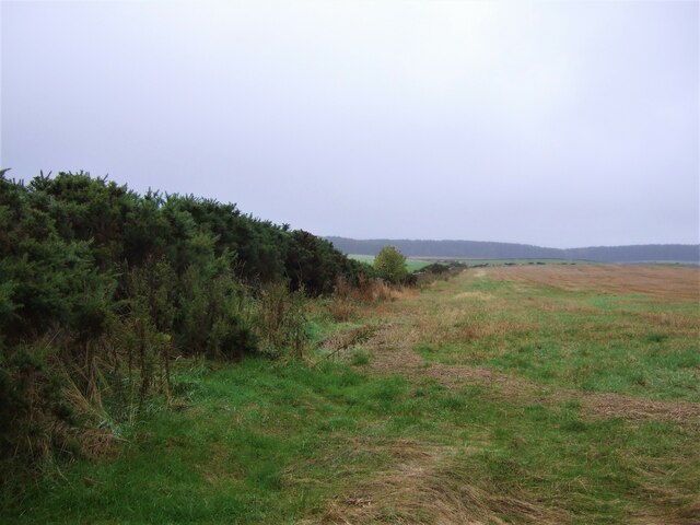
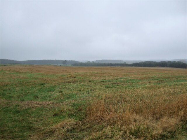
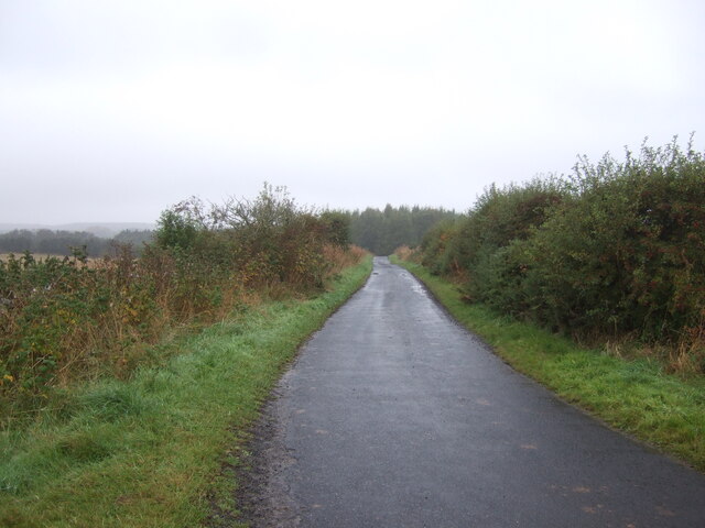
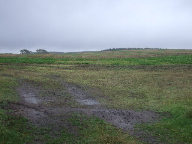
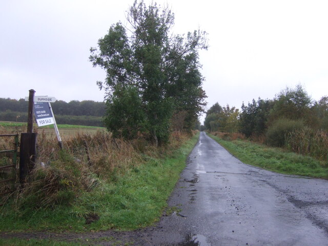
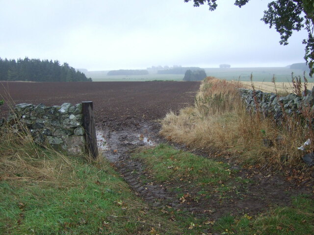
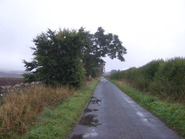
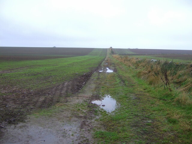
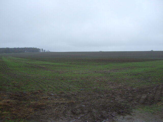
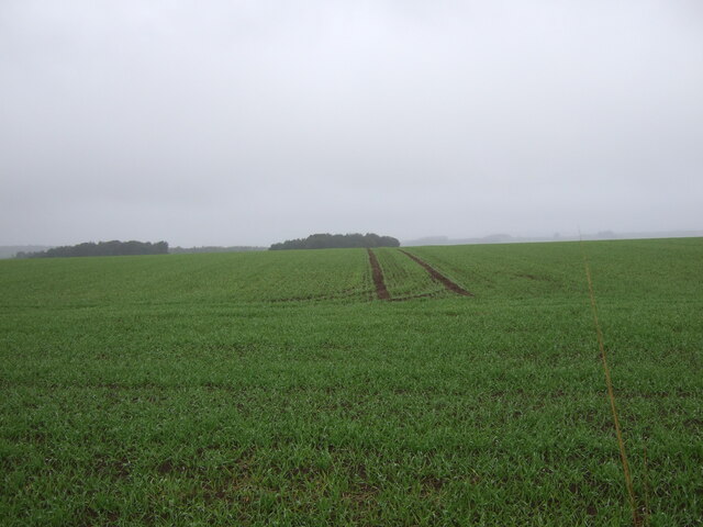
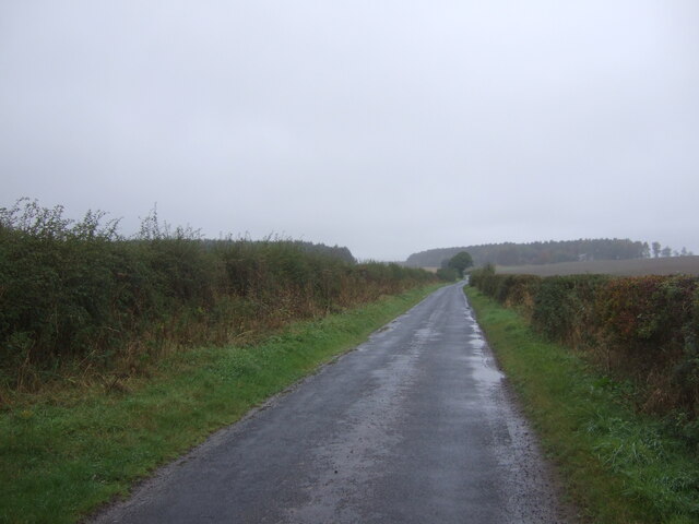
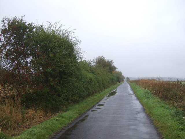
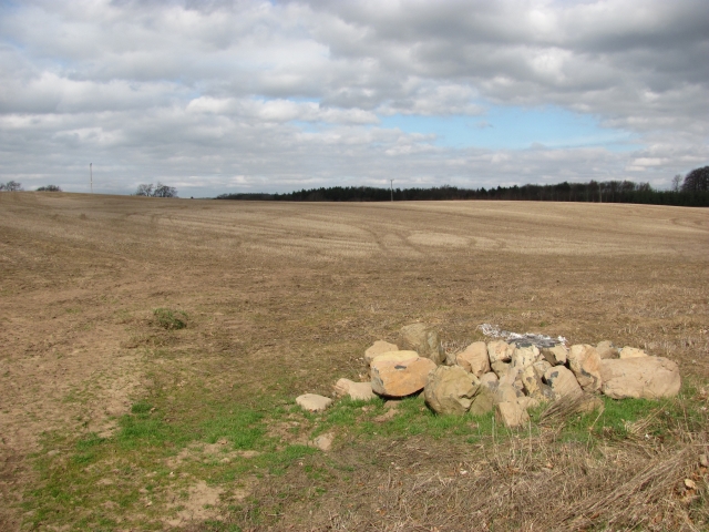
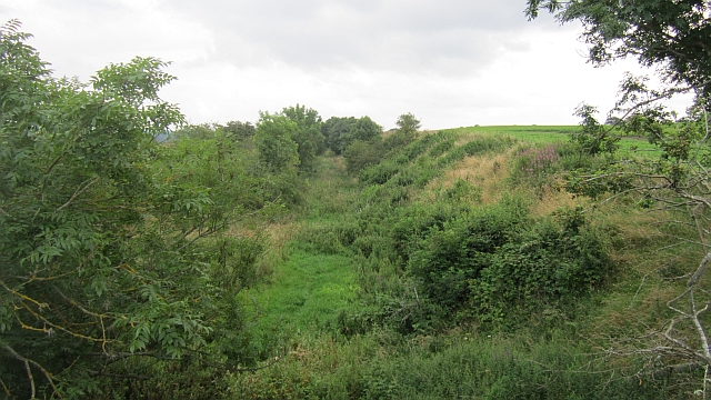
Angle Wood Images

Images are sourced within 2km of 55.563569/-2.5251325 or Grid Reference NT6630. Thanks to Geograph Open Source API. All images are credited.

Field and hedgerow, Roxburgh Moor
Field, Roxburgh Moor
Minor road, Roxburgh Moor Towards Spot Wood.
Minor road, Roxburgh Moor
Towards Spot Wood.
Crop field near Rutherford Burnside Towards Hardie's Burn Strip woodland.
Crop field near Rutherford Burnside
Towards Hardie's Burn Strip woodland.
Minor road near Rutherford Burnside Towards Pirnie.
Minor road near Rutherford Burnside
Towards Pirnie.
Field entrance near Pirnie
Minor road towards Pirnie
Farm track near Roxburgh
Emerging crop near Roxburgh On a dreich day in the Borders.
Emerging crop near Roxburgh
On a dreich day in the Borders.
Winter cereal crop, Roxburgh Moor Towards two small woodlands.
Winter cereal crop, Roxburgh Moor
Towards two small woodlands.
Minor road, the Common Towards Roxburgh Newtown.
Minor road, the Common
Towards Roxburgh Newtown.
Minor road, Roxburgh Moor
Arable land, Rutherford Burnside Several fields here have recently accumulated piles of stones. This suggests a recent switch to arable use.
Arable land, Rutherford Burnside
Several fields here have recently accumulated piles of stones. This suggests a recent switch to arable use.
Rutherford Burnside Newly emerging cereal crop in dry conditions.
Rutherford Burnside
Newly emerging cereal crop in dry conditions.
Tweed flood plain near Rutherford Grassland beside the Tweed.
Tweed flood plain near Rutherford
Grassland beside the Tweed.
Roxburgh Newtown Sheep graze beside the Stockstruther Burn on land obviously unsuited to arable use.
Roxburgh Newtown
Sheep graze beside the Stockstruther Burn on land obviously unsuited to arable use.
Stockstruther Burn Flowing between steep banks towards the Tweed.
Stockstruther Burn
Flowing between steep banks towards the Tweed.
Kelso Branch Railway Overgrown railway trackbed at Roxburgh Newtown.
Kelso Branch Railway
Overgrown railway trackbed at Roxburgh Newtown.
Show me another place!

Angle Wood is located at Grid Ref: NT6630 (Lat: 55.563569, Lng: -2.5251325)

Unitary Authority: The Scottish Borders

Police Authority: The Lothians and Scottish Borders

What 3 Words

///fended.deeper.signed. Near Maxwellheugh, Scottish Borders

Related Wikis

Nearby Amenities

Located within 500m of 55.563569,-2.5251325
Stockstruther
Place: isolated_dwelling
Lat/Long: 55.5653311/-2.5235569
Power: pole
Lat/Long: 55.5673934/-2.5231647
Power: pole
Lat/Long: 55.5647216/-2.5288116
Power: pole
Lat/Long: 55.5650725/-2.5277379
Power: pole
Lat/Long: 55.5654074/-2.5267439
Power: pole
Lat/Long: 55.5657364/-2.5257629
Power: pole
Lat/Long: 55.5660757/-2.5247766
Power: pole
Lat/Long: 55.5665474/-2.5233578
Power: pole
Lat/Long: 55.5669027/-2.5232677
Power: pole
Lat/Long: 55.567242/-2.5231956
Power: pole
Lat/Long: 55.5644143/-2.529785
Power: pole
Lat/Long: 55.5641173/-2.5307738
Power: pole
Lat/Long: 55.5638086/-2.5317625
Power: pole
Lat/Long: 55.5635159/-2.5327488
Give Way
Direction: forward
Lat/Long: 55.5635989/-2.5267421
The data included in this document is from www.openstreetmap.org. The data is made available under ODbL.

Have you been to Angle Wood?

Leave your review of Angle Wood below (or comments, questions and feedback).