Windylaw Wood

Wood, Forest in Berwickshire

Scotland

Windylaw Wood

Road to Scarlaw Although tarmacked this is not a public road. Part of the Southern Upland Way and also the most easterly route of the Herring Road. This is the view west just after leaving the fishery at Watch Water Reservoir, and in the distance you can just make out Twin Law, though not the cairns on this hill.
Road to Scarlaw Credit: Adam Ward

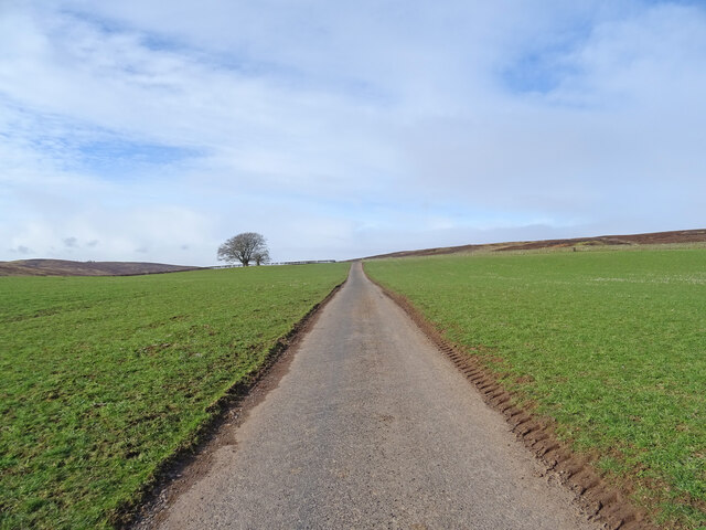
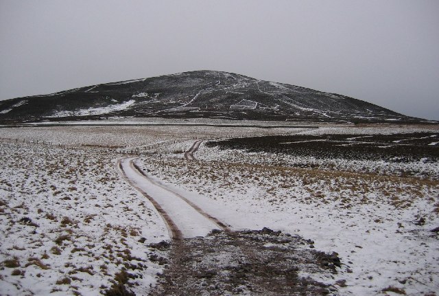
Windylaw Wood is a picturesque forest located in Berwickshire, a historic county in the southeastern part of Scotland. Covering an area of approximately 200 acres, the wood is nestled amidst rolling hills and offers a tranquil escape for nature enthusiasts and hikers alike.

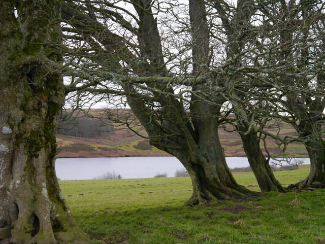
The wood is predominantly composed of native broadleaf trees, including oak, birch, and beech. These trees provide a dense canopy that creates a cool and shaded environment within the wood. Additionally, the forest floor is adorned with a rich carpet of ferns, mosses, and wildflowers, adding to its natural beauty.

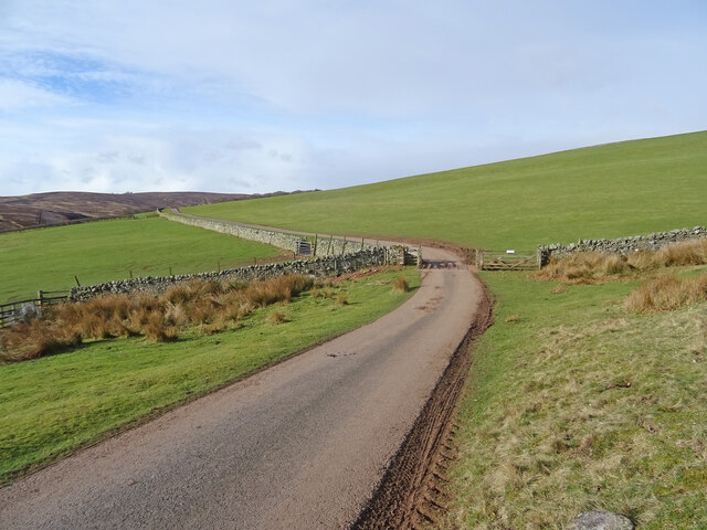
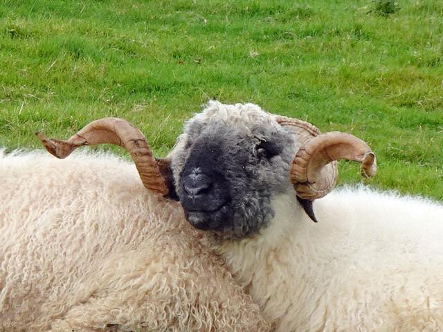
Windylaw Wood is intersected by a network of well-maintained trails, allowing visitors to explore its diverse landscape. These trails vary in difficulty, catering to both casual strollers and experienced hikers. Along the way, visitors can discover an array of wildlife, including red squirrels, roe deer, and a variety of bird species.

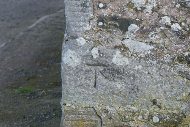
The wood also holds historical significance, with remnants of ancient settlements and boundary markers scattered throughout. These archaeological features provide a glimpse into the area's past and offer a unique opportunity for history enthusiasts to explore.

A visit to Windylaw Wood is not only an opportunity to connect with nature but also to engage in recreational activities. The wood offers designated picnic areas, making it an ideal spot for family outings and gatherings. Additionally, the forest is a popular spot for birdwatching, photography, and even orienteering.

Overall, Windylaw Wood in Berwickshire is a haven of natural beauty and tranquility, offering visitors a chance to immerse themselves in the stunning Scottish landscape and connect with its rich history.

If you have any feedback on the listing, please let us know in the comments section below.

Windylaw Wood Images

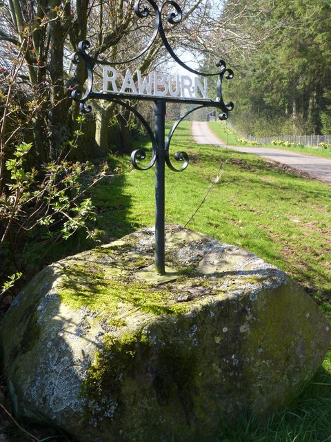
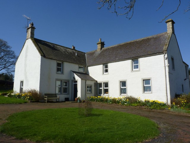
Images are sourced within 2km of 55.800604/-2.5285589 or Grid Reference NT6656. Thanks to Geograph Open Source API. All images are credited.

Road to Scarlaw Although tarmacked this is not a public road. Part of the Southern Upland Way and also the most easterly route of the Herring Road. This is the view west just after leaving the fishery at Watch Water Reservoir, and in the distance you can just make out Twin Law, though not the cairns on this hill.
Road to Scarlaw
Although tarmacked this is not a public road. Part of the Southern Upland Way and also the most easterly route of the Herring Road. This is the view west just after leaving the fishery at Watch Water Reservoir, and in the distance you can just make out Twin Law, though not the cairns on this hill.
On the Way In this case not only the way to Scarlaw farm but also the Southern Upland Way with the hill of Twin Law in the distance.
On the Way
In this case not only the way to Scarlaw farm but also the Southern Upland Way with the hill of Twin Law in the distance.
Benchmark on wall near Rawburn Farm Ordnance Survey benchmark. For database entry, see <span class="nowrap"><a title="https://www.bench-marks.org.uk/bm189613" rel="nofollow ugc noopener" href="https://www.bench-marks.org.uk/bm189613">Link</a><img style="margin-left:2px;" alt="External link" title="External link - shift click to open in new window" src="https://s1.geograph.org.uk/img/external.png" width="10" height="10"/></span>.
Benchmark on wall near Rawburn Farm
Ordnance Survey benchmark. For database entry, see LinkExternal link.
Happy Ram This chap looked very content with life as he snuggled up to another ram at Scarlaw.
Happy Ram
This chap looked very content with life as he snuggled up to another ram at Scarlaw.
Sign at Rawburn Farm
Rawburn Farm, near Longformacus Apparently a Covenanter, Margaret Tunnock, lived here in the seventeenth century.
Rawburn Farm, near Longformacus
Apparently a Covenanter, Margaret Tunnock, lived here in the seventeenth century.
Gnarled Beeches At Watch Water Reservoir A small stand of Beeches north of Watch Water Reservoir on a cold December afternoon.
Gnarled Beeches At Watch Water Reservoir
A small stand of Beeches north of Watch Water Reservoir on a cold December afternoon.
Water Bowser Near The Watch A water bowser for sheep near Watch Water Reservoir.
Water Bowser Near The Watch
A water bowser for sheep near Watch Water Reservoir.
Spillway At Watch Water Reservoir The spillway at Watch Water Reservoir.
Spillway At Watch Water Reservoir
The spillway at Watch Water Reservoir.
Valve Tower At Watch Water Reservoir A view looking across Watch Water Reservoir from near the valve tower.
Valve Tower At Watch Water Reservoir
A view looking across Watch Water Reservoir from near the valve tower.
Wetland, Rawburn The air is damp too, thanks to a haar.
Wetland, Rawburn
The air is damp too, thanks to a haar.
Road junction Left for Rawburn Cottage, straight on for some fields within the moorland.
Road junction
Left for Rawburn Cottage, straight on for some fields within the moorland.
Woodland, Rawburn Cottage A sheltering conifer wood.
Woodland, Rawburn Cottage
A sheltering conifer wood.
Old Plantation Looks as if the wood was replanted a few years earlier. There are enclosed fields here, within a mostly moorland environment.
Old Plantation
Looks as if the wood was replanted a few years earlier. There are enclosed fields here, within a mostly moorland environment.
Moorland field An enclosed field, surrounded by a dyke and electric fence, set in moorland near Rawburn.
Moorland field
An enclosed field, surrounded by a dyke and electric fence, set in moorland near Rawburn.
Moorland, Edfast A mix of grass and heather in the Lammermuir Hills. The underfoot going is easy.
Moorland, Edfast
A mix of grass and heather in the Lammermuir Hills. The underfoot going is easy.
Fields, Rawburn Fields won from the surrounding moorland near Rawburn Cottage.
Fields, Rawburn
Fields won from the surrounding moorland near Rawburn Cottage.
Watch Water Reservoir Dam At the northern end of the reservoir.
Watch Water Reservoir Dam
At the northern end of the reservoir.
Show me another place!

Windylaw Wood is located at Grid Ref: NT6656 (Lat: 55.800604, Lng: -2.5285589)

Unitary Authority: The Scottish Borders

Police Authority: The Lothians and Scottish Borders

What 3 Words

///nags.costumed.spelled. Near Duns, Scottish Borders

Nearby Locations

Windylaw Wood

Related Wikis

Watch Water

The Watch Water is a river in the Scottish Borders area of Scotland. It rises in the Lammermuir Hills, around 8 kilometres (5.0 mi) west of Longformacus...

Longformacus

Longformacus (Scottish Gaelic: Longphort Mhacais) is a small village in Berwickshire in the Scottish Borders area of Scotland. It is around 10 kilometres...

Longformacus House

Longformacus House is a mansion near the village of Longformacus, Scottish Borders, Scotland. == History == The estate was once owned by the Earls of...

Dirrington Great Law

Dirrington Great Law is a hill in the Scottish Borders area of Scotland, in the former county of Berwickshire. The summit is around 2.5 kilometres (1.6...

Nearby Amenities

Located within 500m of 55.800604,-2.5285589
Natural: peak
Lat/Long: 55.7981352/-2.5301049
Power: pole
Lat/Long: 55.7987216/-2.5218928
Power: pole
Lat/Long: 55.7983915/-2.5228258
Power: pole
Lat/Long: 55.7979857/-2.5238909
Power: pole
Lat/Long: 55.797387/-2.5241934
Power: pole
Lat/Long: 55.7967896/-2.5244146
Power: pole
Lat/Long: 55.7989603/-2.5357957
Power: pole
Lat/Long: 55.7998033/-2.5362533
The data included in this document is from www.openstreetmap.org. The data is made available under ODbL.

Have you been to Windylaw Wood?

Leave your review of Windylaw Wood below (or comments, questions and feedback).