Anna Plantation
Wood, Forest in Roxburghshire
Scotland
Anna Plantation
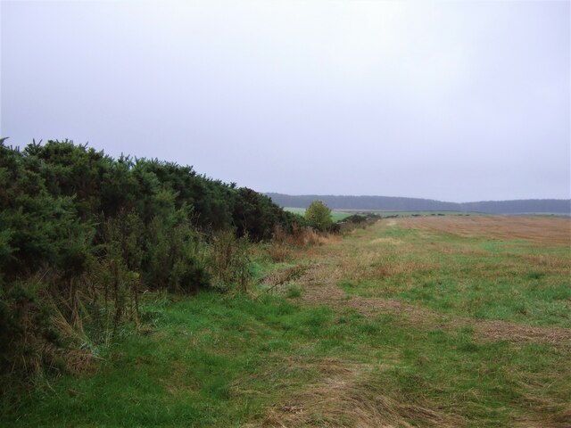
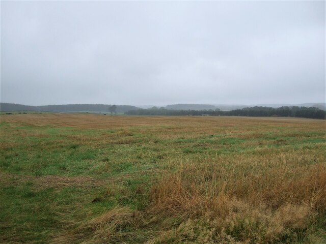
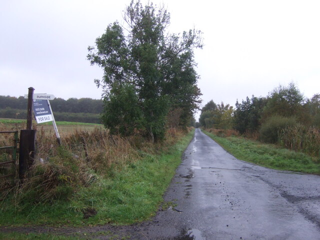
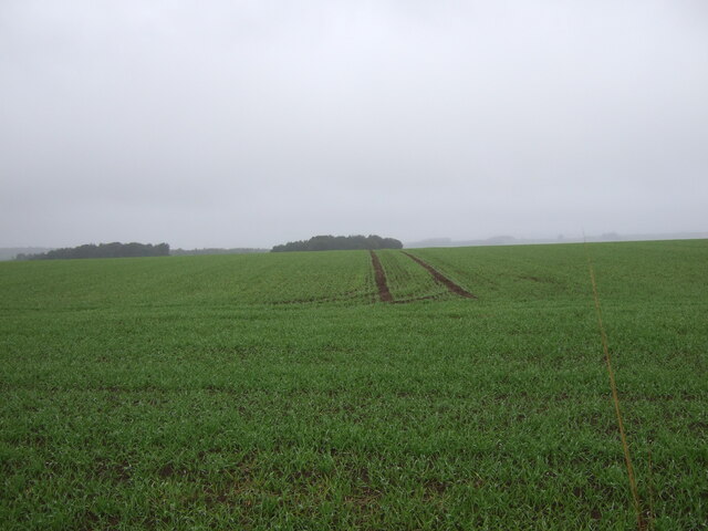
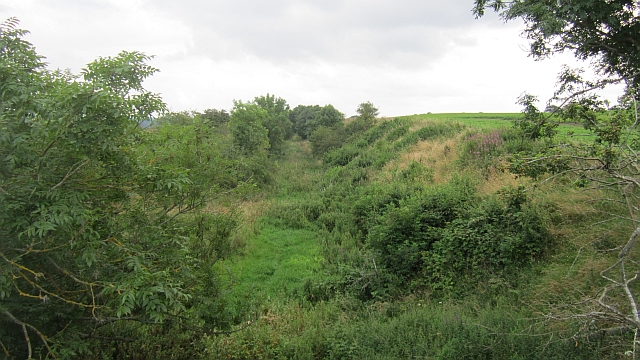
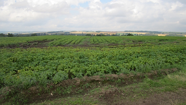
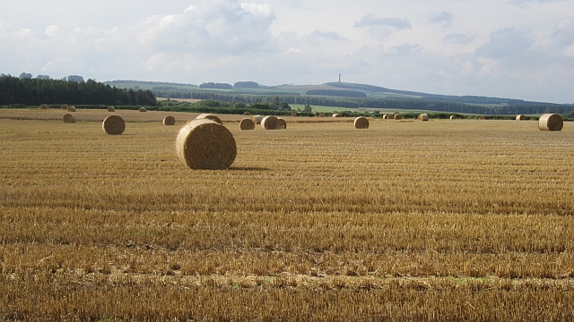
Anna Plantation is a charming woodland area located in Roxburghshire, Scotland. Situated in the heart of the Scottish Borders, this plantation is known for its breathtaking beauty and rich natural resources. Spanning over a vast area, Anna Plantation is a haven for nature enthusiasts and offers a tranquil retreat from the hustle and bustle of city life.
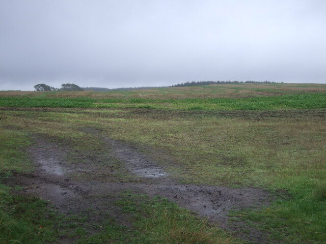
The plantation is primarily composed of dense forests, with a wide variety of tree species, including oak, beech, and pine. The lush greenery provides a picturesque backdrop, especially during the spring and summer seasons when the foliage is in full bloom. The woodland is also home to an array of wildlife, such as red squirrels, deer, and a variety of bird species, making it a popular spot for birdwatching and wildlife photography.
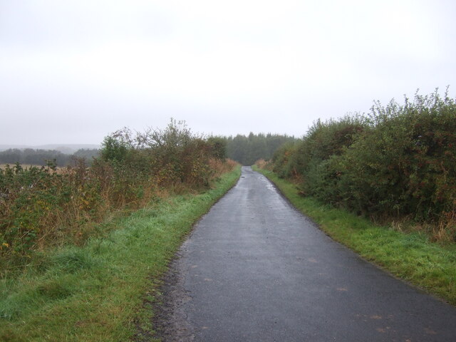
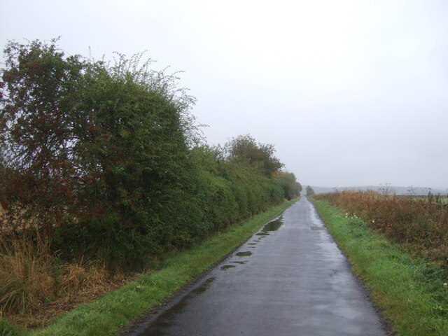
Anna Plantation offers several well-maintained walking trails, allowing visitors to explore the stunning surroundings at their own pace. These trails cater to both casual strollers and more experienced hikers, offering options for different levels of difficulty. Along the way, visitors can enjoy the peaceful atmosphere and the soothing sound of the nearby river.
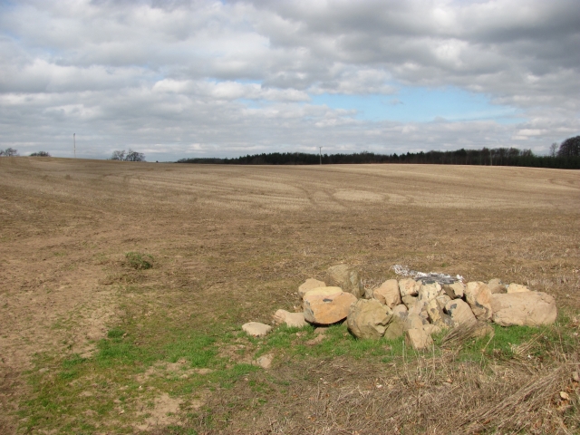
In addition to its natural beauty, Anna Plantation also has historical significance. The area has remnants of an ancient settlement, with archaeological findings suggesting human presence dating back thousands of years. These historical artifacts add an extra layer of intrigue to the plantation's allure.
Overall, Anna Plantation is a must-visit destination for those seeking a peaceful retreat in the midst of nature. Its diverse flora and fauna, along with its rich history, make it a truly enchanting place to explore and immerse oneself in the natural wonders of Roxburghshire.
If you have any feedback on the listing, please let us know in the comments section below.
Anna Plantation Images
Images are sourced within 2km of 55.573437/-2.5348592 or Grid Reference NT6631. Thanks to Geograph Open Source API. All images are credited.


Anna Plantation is located at Grid Ref: NT6631 (Lat: 55.573437, Lng: -2.5348592)
Unitary Authority: The Scottish Borders
Police Authority: The Lothians and Scottish Borders
What 3 Words
///reservoir.toothpick.tight. Near Kelso, Scottish Borders
Nearby Locations
Related Wikis

Rutherford railway station
Rutherford railway station served the parish of Maxton, Roxburghshire, Scotland from 1851 to 1964 on the Kelso Line. == History == The station opened in...

Makerstoun
Makerstoun is a parish in the Scottish Borders area of Scotland, as well as the historic county of Roxburghshire, 4 miles (6 km) south-west of Kelso.The...

Borders Abbeys Way
The Borders Abbeys Way is a long-distance footpath in the Scottish Borders area of Scotland. It is a circular walkway and is 109 kilometres (68 mi) in...

Roxburgh railway station
Roxburgh railway station was on the Kelso Line, and served the village of Roxburgh, Scottish Borders, from 1850 to 1964. == History == The station was...

Roxburgh (village)
Roxburgh (Gaelic, Rosbrog) is a village off the A699, by the River Teviot, near Kelso in the Scottish Borders area of Scotland. It should not be confused...

Wallace's Tower
Wallace's Tower is a ruined 16th-century L-plan tower house, about 3 miles (4.8 km) south west Kelso, Scottish Borders, Scotland, in Roxburgh, west of...

Smailholm Tower
Smailholm Tower is a peel tower at Smailholm, around five miles (8 km) west of Kelso in the Scottish Borders. Its dramatic situation, atop a crag of Lady...

Kirkbank railway station
Kirkbank railway station served Old Ormiston, in the Scottish Borders, Scotland from 1856 to 1948 on the Jedburgh Railway. == History == The station opened...
Nearby Amenities
Located within 500m of 55.573437,-2.5348592Have you been to Anna Plantation?
Leave your review of Anna Plantation below (or comments, questions and feedback).