Damfoot
Lake, Pool, Pond, Freshwater Marsh in Roxburghshire
Scotland
Damfoot
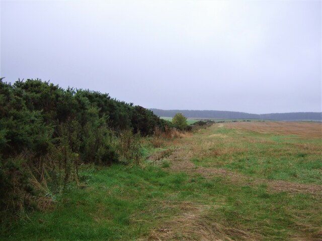
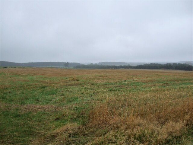
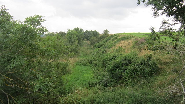
Damfoot is a picturesque freshwater marsh located in Roxburghshire, a historic county in the Scottish Borders region of Scotland. Situated in a secluded area, this enchanting marsh boasts an abundance of natural beauty and is a haven for various flora and fauna.
The centerpiece of Damfoot is its serene lake, which stretches across a considerable area, providing a tranquil setting for visitors to unwind and enjoy the serene surroundings. The lake is fed by nearby streams and springs, ensuring a constant flow of freshwater, which supports a diverse ecosystem.
Surrounding the lake, there are several smaller water bodies, including pools and ponds, which add to the charm and diversity of the marsh. These smaller bodies of water provide habitats for various aquatic plants and organisms, contributing to the overall ecological balance of the area.
The marshland itself is characterized by lush vegetation, consisting of reeds, grasses, and sedges that thrive in the wetland environment. This rich plant life provides a habitat for a wide range of bird species, including waterfowl, such as ducks and geese, as well as wading birds like herons and egrets.
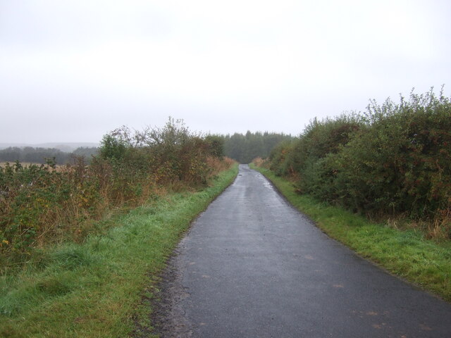
Damfoot is a popular destination for nature enthusiasts, birdwatchers, and photographers, who are drawn to the area's scenic beauty and the opportunity to observe and capture the diverse wildlife that inhabits the marsh. The peaceful ambiance of Damfoot makes it an ideal location for outdoor activities, such as leisurely walks and picnics, allowing visitors to fully immerse themselves in the tranquility of this remarkable freshwater marsh.
If you have any feedback on the listing, please let us know in the comments section below.
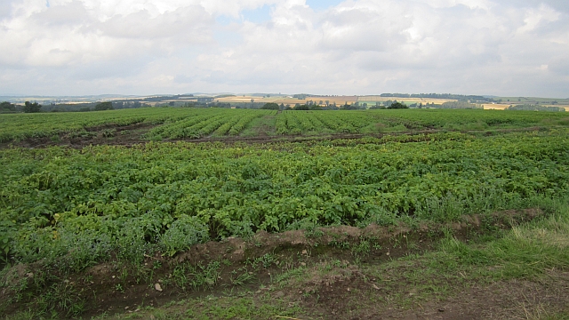
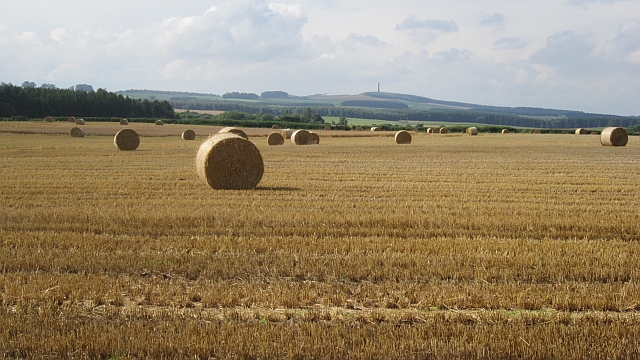
Damfoot Images
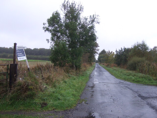
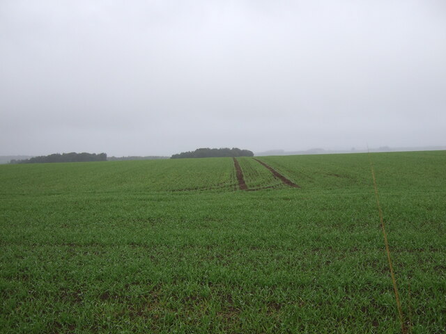
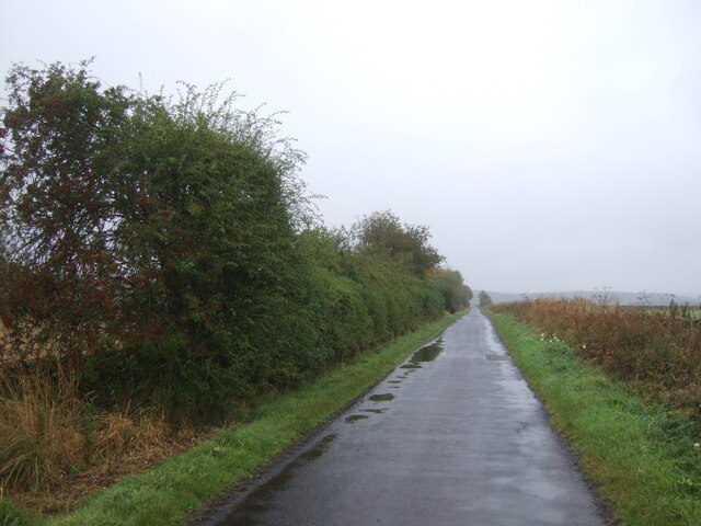
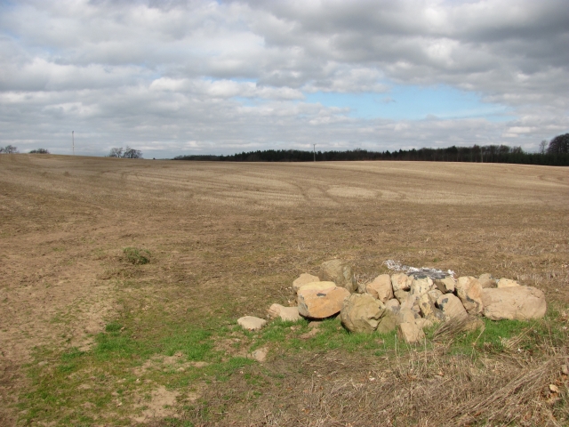
Images are sourced within 2km of 55.573309/-2.5334142 or Grid Reference NT6631. Thanks to Geograph Open Source API. All images are credited.


Damfoot is located at Grid Ref: NT6631 (Lat: 55.573309, Lng: -2.5334142)
Unitary Authority: The Scottish Borders
Police Authority: The Lothians and Scottish Borders
What 3 Words
///establish.intrigued.cherished. Near Kelso, Scottish Borders
Nearby Locations
Related Wikis

Rutherford railway station
Rutherford railway station served the parish of Maxton, Roxburghshire, Scotland from 1851 to 1964 on the Kelso Line. == History == The station opened in...

Makerstoun
Makerstoun is a parish in the Scottish Borders area of Scotland, as well as the historic county of Roxburghshire, 4 miles (6 km) south-west of Kelso.The...

Borders Abbeys Way
The Borders Abbeys Way is a long-distance footpath in the Scottish Borders area of Scotland. It is a circular walkway and is 109 kilometres (68 mi) in...

Roxburgh railway station
Roxburgh railway station was on the Kelso Line, and served the village of Roxburgh, Scottish Borders, from 1850 to 1964. == History == The station was...
Nearby Amenities
Located within 500m of 55.573309,-2.5334142Have you been to Damfoot?
Leave your review of Damfoot below (or comments, questions and feedback).