Camp Pool

Lake, Pool, Pond, Freshwater Marsh in Roxburghshire

Scotland

Camp Pool

Field and hedgerow, Roxburgh Moor
Field and hedgerow, Roxburgh Moor Credit: JThomas

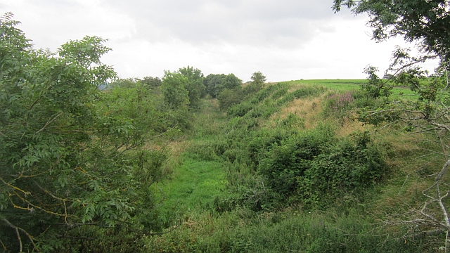
Camp Pool is a picturesque body of water located in Roxburghshire, Scotland. Nestled amidst the rolling hills and lush greenery, this freshwater marsh is a haven for nature enthusiasts and a popular destination for outdoor activities. With its serene ambience and diverse ecosystem, Camp Pool offers a unique experience for visitors.

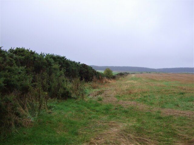
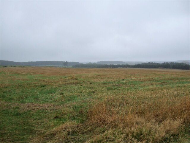
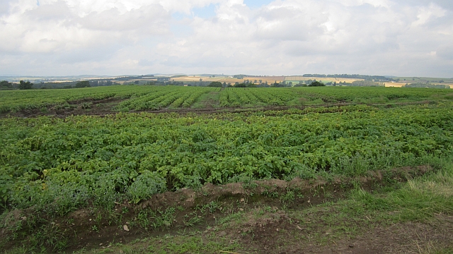
Spanning approximately 10 acres, the pool is surrounded by dense vegetation, including reeds, grasses, and shrubs, which provide a rich habitat for various species of birds, insects, and aquatic plants. The marshy nature of the area creates a thriving ecosystem that supports a wide range of flora and fauna.

The pool itself is relatively shallow, with an average depth of around 2 meters, making it an ideal breeding ground for amphibians such as frogs and newts. The crystal-clear water is home to several species of fish, including trout and perch, making it a popular spot for anglers.

The tranquil atmosphere of Camp Pool also attracts birdwatchers, who can spot a diverse array of bird species throughout the year. Common sightings include herons, ducks, swans, and various songbirds.

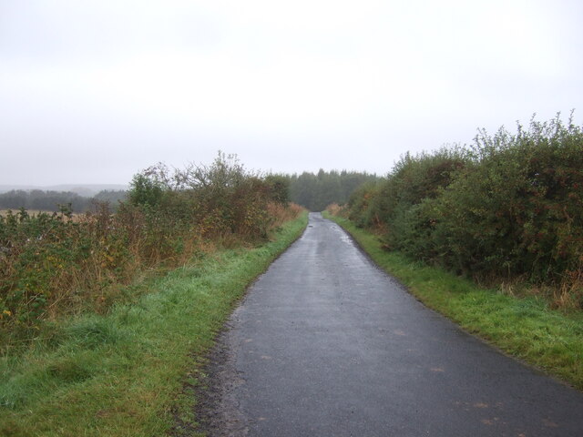
Aside from its natural beauty, Camp Pool offers recreational opportunities for visitors. Canoeing, kayaking, and paddleboarding are popular activities on the lake, while the surrounding walking trails provide an opportunity for hikers to explore the scenic surroundings.

Overall, Camp Pool in Roxburghshire is a hidden gem, offering a harmonious blend of natural beauty and recreational activities. Its diverse ecosystem and tranquil atmosphere make it a must-visit destination for nature lovers and outdoor enthusiasts.

If you have any feedback on the listing, please let us know in the comments section below.
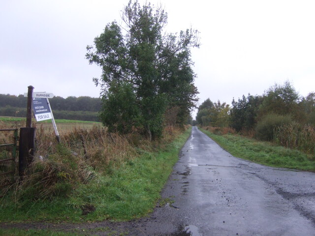
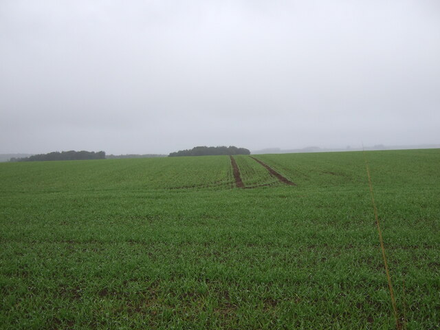
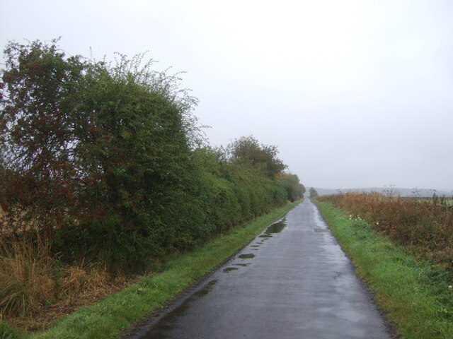
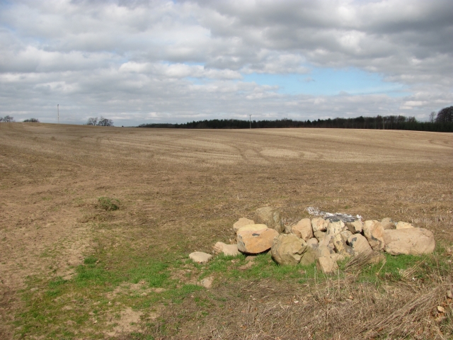
Camp Pool Images

Images are sourced within 2km of 55.574139/-2.5263045 or Grid Reference NT6631. Thanks to Geograph Open Source API. All images are credited.

Field and hedgerow, Roxburgh Moor
Field, Roxburgh Moor
Minor road, Roxburgh Moor Towards Spot Wood.
Minor road, Roxburgh Moor
Towards Spot Wood.
Crop field near Rutherford Burnside Towards Hardie's Burn Strip woodland.
Crop field near Rutherford Burnside
Towards Hardie's Burn Strip woodland.
Minor road near Rutherford Burnside Towards Pirnie.
Minor road near Rutherford Burnside
Towards Pirnie.
Winter cereal crop, Roxburgh Moor Towards two small woodlands.
Winter cereal crop, Roxburgh Moor
Towards two small woodlands.
Minor road, Roxburgh Moor
A phone box at Makerstoun It appears to be used as the village library.
A phone box at Makerstoun
It appears to be used as the village library.
Makerstoun phone box The box is being used as a library.
Makerstoun phone box
The box is being used as a library.
A sundial at Makerstoun Parish Churchyard According to The Churches and Graveyards of Roxburghshire by G A C Binnie, the sundial and pedestal was gifted by General Sir Thomas Makdougall Brisbane, once Governor General of New South Wales.
A sundial at Makerstoun Parish Churchyard
According to The Churches and Graveyards of Roxburghshire by G A C Binnie, the sundial and pedestal was gifted by General Sir Thomas Makdougall Brisbane, once Governor General of New South Wales.
Arable land, Rutherford Burnside Several fields here have recently accumulated piles of stones. This suggests a recent switch to arable use.
Arable land, Rutherford Burnside
Several fields here have recently accumulated piles of stones. This suggests a recent switch to arable use.
Rutherford Burnside Newly emerging cereal crop in dry conditions.
Rutherford Burnside
Newly emerging cereal crop in dry conditions.
Tweed flood plain near Rutherford Grassland beside the Tweed.
Tweed flood plain near Rutherford
Grassland beside the Tweed.
Roxburgh Newtown Sheep graze beside the Stockstruther Burn on land obviously unsuited to arable use.
Roxburgh Newtown
Sheep graze beside the Stockstruther Burn on land obviously unsuited to arable use.
Stockstruther Burn Flowing between steep banks towards the Tweed.
Stockstruther Burn
Flowing between steep banks towards the Tweed.
Kelso Branch Railway Overgrown railway trackbed at Roxburgh Newtown.
Kelso Branch Railway
Overgrown railway trackbed at Roxburgh Newtown.
Potatoes, Roxburgh Newtown
Round bales, Roxburgh After the barley harvest.
Round bales, Roxburgh
After the barley harvest.
Show me another place!

Camp Pool is located at Grid Ref: NT6631 (Lat: 55.574139, Lng: -2.5263045)

Unitary Authority: The Scottish Borders

Police Authority: The Lothians and Scottish Borders

What 3 Words

///hamper.give.screen. Near Kelso, Scottish Borders

Related Wikis

Makerstoun

Makerstoun is a parish in the Scottish Borders area of Scotland, as well as the historic county of Roxburghshire, 4 miles (6 km) south-west of Kelso.The...

Rutherford railway station

Rutherford railway station served the parish of Maxton, Roxburghshire, Scotland from 1851 to 1964 on the Kelso Line. == History == The station opened in...

Borders Abbeys Way

The Borders Abbeys Way is a long-distance footpath in the Scottish Borders area of Scotland. It is a circular walkway and is 109 kilometres (68 mi) in...

Roxburgh railway station

Roxburgh railway station was on the Kelso Line, and served the village of Roxburgh, Scottish Borders, from 1850 to 1964. == History == The station was...

Nearby Amenities

Located within 500m of 55.574139,-2.5263045
Newtown
Naptan AtcoCode: 69001217
Naptan Bearing: W
Naptan BusStopType: CUS
Naptan CommonName: Newtown
Naptan Indicator: opp Road End
Naptan Landmark: Roxburgh Road End
Naptan NaptanCode: 72726569
Naptan Street: A699
Naptan Verified: no
Source: naptan_import
Lat/Long: 55.5743451/-2.5184031
Chapel
Historic: ruins
Lat/Long: 55.5777042/-2.5227312
Cairnmount
Place: hamlet
Lat/Long: 55.5698418/-2.5251726
Noexit: yes
Lat/Long: 55.5772771/-2.5215248
The data included in this document is from www.openstreetmap.org. The data is made available under ODbL.

Have you been to Camp Pool?

Leave your review of Camp Pool below (or comments, questions and feedback).