Greatridgehall Wood

Wood, Forest in Roxburghshire

Scotland

Greatridgehall Wood

Charterhouse Wood A wide strip, recently felled and replanted.
Charterhouse Wood Credit: Richard Webb

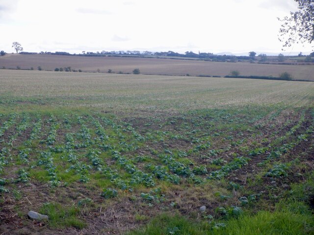
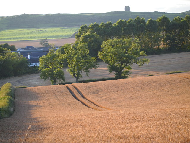
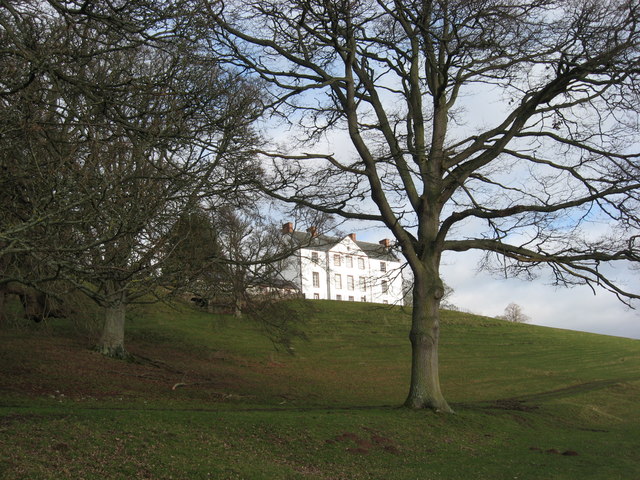
Greatridgehall Wood is a beautiful forest located in the region of Roxburghshire, Scotland. Spanning over an area of approximately 100 hectares, this woodland is a haven for nature lovers and outdoor enthusiasts. The wood is situated near the small village of Denholm and offers a tranquil escape from the bustling city life.

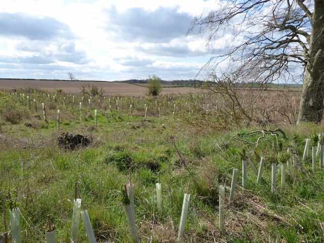
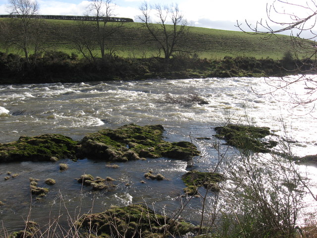
The forest is predominantly composed of native broadleaf trees such as oak, ash, and birch, which create a diverse and rich habitat for a wide range of flora and fauna. The woodland floor is adorned with a vibrant carpet of wildflowers, including bluebells, primroses, and wood sorrels, adding to the picturesque scenery.

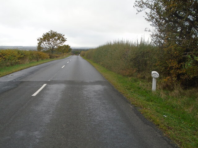
Greatridgehall Wood is crisscrossed with a network of well-maintained paths, making it an ideal destination for walkers and hikers. The trails wind through the forest, providing opportunities to explore the diverse ecosystem and catch glimpses of the various wildlife that call this woodland home. Visitors may encounter deer, foxes, badgers, and an array of bird species, including owls, woodpeckers, and songbirds.

Furthermore, the wood offers stunning panoramic views from its higher vantage points, allowing visitors to appreciate the picturesque landscapes of the surrounding countryside. The tranquil ambiance and peaceful atmosphere make Greatridgehall Wood an ideal spot for nature photography, picnics, or simply unwinding amidst nature's serenity.

Overall, Greatridgehall Wood is a delightful woodland destination that offers a chance to reconnect with nature, enjoy scenic walks, and experience the beauty of Roxburghshire's countryside.

If you have any feedback on the listing, please let us know in the comments section below.

Greatridgehall Wood Images

Images are sourced within 2km of 55.591479/-2.5351205 or Grid Reference NT6633. Thanks to Geograph Open Source API. All images are credited.

Charterhouse Wood A wide strip, recently felled and replanted.
Charterhouse Wood
A wide strip, recently felled and replanted.
Field, Millfield Mertoun Estate.
Field, Millfield
Mertoun Estate.
A phone box at Makerstoun It appears to be used as the village library.
A phone box at Makerstoun
It appears to be used as the village library.
Makerstoun phone box The box is being used as a library.
Makerstoun phone box
The box is being used as a library.
A sundial at Makerstoun Parish Churchyard According to The Churches and Graveyards of Roxburghshire by G A C Binnie, the sundial and pedestal was gifted by General Sir Thomas Makdougall Brisbane, once Governor General of New South Wales.
A sundial at Makerstoun Parish Churchyard
According to The Churches and Graveyards of Roxburghshire by G A C Binnie, the sundial and pedestal was gifted by General Sir Thomas Makdougall Brisbane, once Governor General of New South Wales.
Old milepost Just 2 Smith Patterson mileposts remain on the 6 miles of B6404 from its junction with the B6397 west of Kelso and St Boswells.  This one near Fox Covert has been fairly recently painted.  When previously seen in 2013 it was very rusty.   This area of the Borders was in Roxburghshire before the 1970s.
Old milepost
Just 2 Smith Patterson mileposts remain on the 6 miles of B6404 from its junction with the B6397 west of Kelso and St Boswells. This one near Fox Covert has been fairly recently painted. When previously seen in 2013 it was very rusty. This area of the Borders was in Roxburghshire before the 1970s.
Old milepost Beyond the milepost the road to the south west drops down towards St Boswells and the River Tweed.
Old milepost
Beyond the milepost the road to the south west drops down towards St Boswells and the River Tweed.
Charterhouse Wood Felled and replanted.
Charterhouse Wood
Felled and replanted.
A milepost by the B6404 It shows 6 miles to Kelso and 4 miles to St Boswells.
A milepost by the B6404
It shows 6 miles to Kelso and 4 miles to St Boswells.
The Old Threshing Mill, Millfield View towards Old Threshing Mill with Smailholm Tower on horizon.
The Old Threshing Mill, Millfield
View towards Old Threshing Mill with Smailholm Tower on horizon.
Stubble fields near Charterhouse These arable fields were viewed from the B6404. A large number of geese have landed in the foreground field to forage in the stubble.
Stubble fields near Charterhouse
These arable fields were viewed from the B6404. A large number of geese have landed in the foreground field to forage in the stubble.
The Weir at Rutherford Lodge Crossing the Tweed from bank to bank this weir may well be the longest on the river. In spate conditions it's certainly one of the noisiest.
The Weir at Rutherford Lodge
Crossing the Tweed from bank to bank this weir may well be the longest on the river. In spate conditions it's certainly one of the noisiest.
'Footpaths End' This footpath near Corbie Craigs by the River Tweed suddenly ends,needing one to detour somewhat. Unless of course you can walk on water.
'Footpaths End'
This footpath near Corbie Craigs by the River Tweed suddenly ends,needing one to detour somewhat. Unless of course you can walk on water.
Makerstoun House The house stands in a prominent position above the River Tweed.
Makerstoun House
The house stands in a prominent position above the River Tweed.
Rough Water Rocky extrusions causing white water on the River Tweed downstream from Makerstoun House.
Rough Water
Rocky extrusions causing white water on the River Tweed downstream from Makerstoun House.
Tweed Shelter A novel use for an old boat beside the River Tweed.
Tweed Shelter
A novel use for an old boat beside the River Tweed.
A dedicated bench seat at Makerstoun Kirkyard The kirk is in the background to the left.
A dedicated bench seat at Makerstoun Kirkyard
The kirk is in the background to the left.
Arable farmland near Bettyfield This was viewed in April from a minor road to Smailholm. The Eildon Hills are on the skyline to the right.
Arable farmland near Bettyfield
This was viewed in April from a minor road to Smailholm. The Eildon Hills are on the skyline to the right.
Show me another place!

Greatridgehall Wood is located at Grid Ref: NT6633 (Lat: 55.591479, Lng: -2.5351205)

Unitary Authority: The Scottish Borders

Police Authority: The Lothians and Scottish Borders

What 3 Words

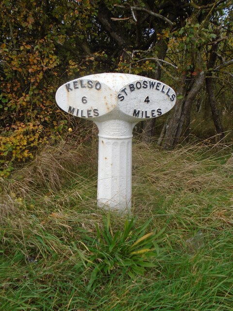
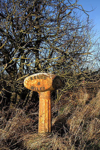
///figure.messy.cascade. Near Kelso, Scottish Borders

Related Wikis

Makerstoun

Makerstoun is a parish in the Scottish Borders area of Scotland, as well as the historic county of Roxburghshire, 4 miles (6 km) south-west of Kelso.The...

Rutherford railway station

Rutherford railway station served the parish of Maxton, Roxburghshire, Scotland from 1851 to 1964 on the Kelso Line. == History == The station opened in...

Borders Abbeys Way

The Borders Abbeys Way is a long-distance footpath in the Scottish Borders area of Scotland. It is a circular walkway and is 109 kilometres (68 mi) in...

Smailholm Tower

Smailholm Tower is a peel tower at Smailholm, around five miles (8 km) west of Kelso in the Scottish Borders. Its dramatic situation, atop a crag of Lady...

Smailholm

Smailholm (Scots: Smailhowm) is a small village in the historic county of Roxburghshire in south-east Scotland. It is at grid reference NT648364 and straddles...

Roxburgh railway station

Roxburgh railway station was on the Kelso Line, and served the village of Roxburgh, Scottish Borders, from 1850 to 1964. == History == The station was...

Roxburgh (village)

Roxburgh (Gaelic, Rosbrog) is a village off the A699, by the River Teviot, near Kelso in the Scottish Borders area of Scotland. It should not be confused...

Nenthorn

Nenthorn is a parish and hamlet in the south of the historic county of Berwickshire in the Scottish Borders area of Scotland. It is included in the Floors...

Nearby Amenities

Located within 500m of 55.591479,-2.5351205
Power: pole
Lat/Long: 55.5892775/-2.5404926
Power: pole
Lat/Long: 55.5898666/-2.5393052
Power: pole
Lat/Long: 55.5899293/-2.5404094
Power: pole
Lat/Long: 55.5900052/-2.541422
Power: pole
Lat/Long: 55.5903292/-2.5383586
Power: pole
Lat/Long: 55.5891667/-2.5400406
Power: pole
Lat/Long: 55.5884607/-2.5408059
Power: pole
Lat/Long: 55.5950478/-2.5386571
Power: pole
Lat/Long: 55.594437/-2.539772
Power: pole
Lat/Long: 55.5938167/-2.5409147
Power: pole
Lat/Long: 55.5931795/-2.5421149
Power: pole
Lat/Long: 55.592488/-2.5411875
Power: pole
Lat/Long: 55.5916363/-2.540047
Power: pole
Lat/Long: 55.5909063/-2.539092
Power: pole
Lat/Long: 55.5896305/-2.5374228
Power: pole
Lat/Long: 55.5889029/-2.5364954
Power: pole
Lat/Long: 55.5881812/-2.5355255
Power: pole
Lat/Long: 55.5874343/-2.5345491
Power: pole
Lat/Long: 55.5905473/-2.5273969
The data included in this document is from www.openstreetmap.org. The data is made available under ODbL.

Have you been to Greatridgehall Wood?

Leave your review of Greatridgehall Wood below (or comments, questions and feedback).