Cutties Strip
Wood, Forest in Kincardineshire
Scotland
Cutties Strip
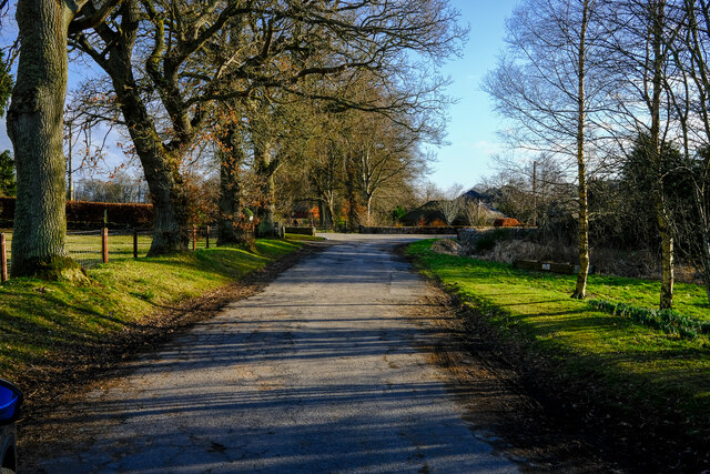
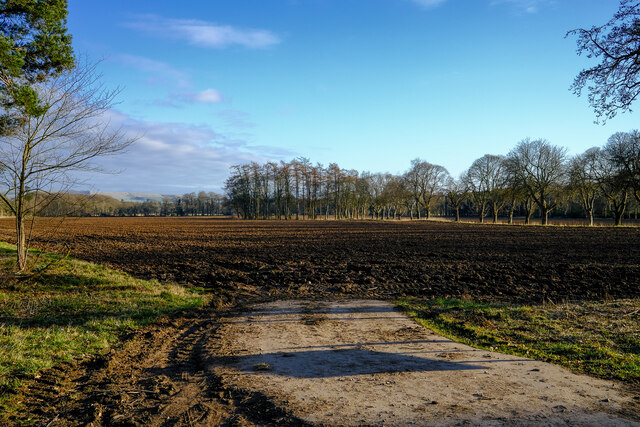
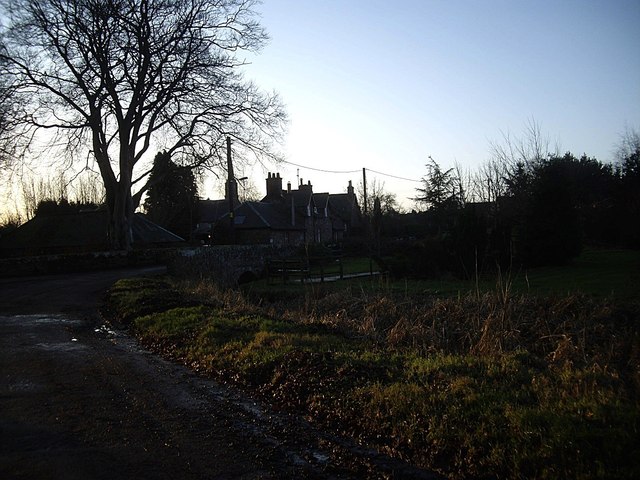
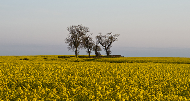
Cutties Strip is a picturesque woodland area located in Kincardineshire, Scotland. It is known for its dense forest cover and natural beauty, making it a popular destination for nature enthusiasts and hikers alike.
Covering an area of approximately 100 hectares, Cutties Strip is home to a diverse range of flora and fauna, including various species of trees such as oak, beech, and birch. The woodland is characterized by its dense canopy, which provides shelter and habitat for numerous wildlife species, including red squirrels, foxes, and a variety of bird species.
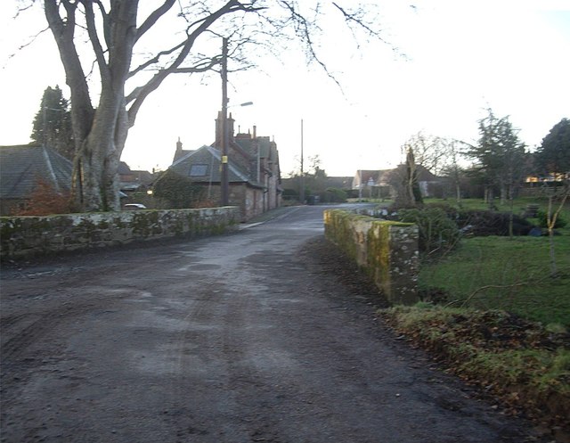
The woodlands are crisscrossed by a network of well-maintained trails, making it an ideal location for walking and exploring. The trails offer visitors the opportunity to immerse themselves in the tranquility of the forest, as they wind their way through towering trees and enchanting clearings. Along the way, visitors can discover hidden streams and small ponds, enhancing the overall natural experience.
Cutties Strip is also a popular spot for picnicking and family outings, with several designated areas offering picnic tables and benches. Visitors can relax and enjoy the peaceful surroundings while enjoying a meal or simply taking in the beauty of the forest.
The woodland is easily accessible, with a car park located nearby, and it is open to the public year-round. Cutties Strip provides a delightful escape from the hustle and bustle of everyday life, offering a chance to reconnect with nature and enjoy the tranquility of the Scottish woodlands.
If you have any feedback on the listing, please let us know in the comments section below.
Cutties Strip Images
Images are sourced within 2km of 56.847572/-2.5546106 or Grid Reference NO6673. Thanks to Geograph Open Source API. All images are credited.

Cutties Strip is located at Grid Ref: NO6673 (Lat: 56.847572, Lng: -2.5546106)
Unitary Authority: Aberdeenshire
Police Authority: North East
What 3 Words
///commoners.aimed.shame. Near Laurencekirk, Aberdeenshire
Nearby Locations
Related Wikis

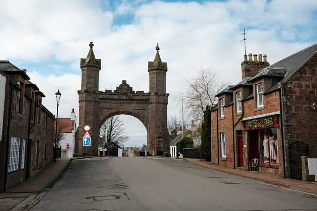
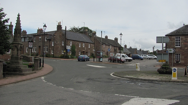
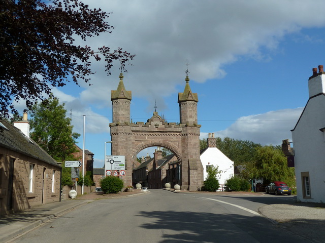
Fettercairn
Fettercairn (, Scottish Gaelic: Fothair Chàrdain) is a small village in Aberdeenshire, Scotland, northwest of Laurencekirk in Aberdeenshire on the B966...

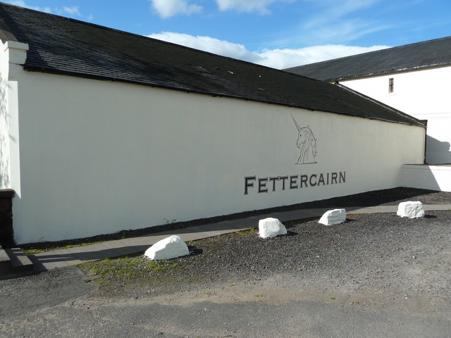
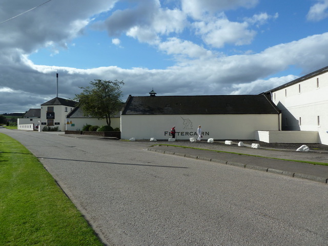
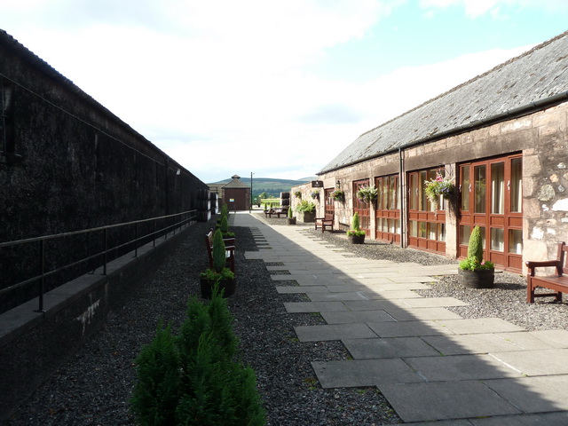
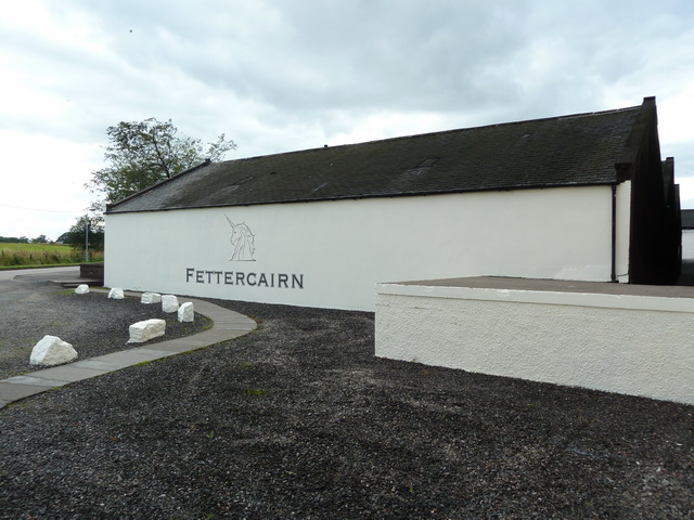
Fettercairn distillery
Fettercairn distillery is a whisky distillery in Fettercairn. Situated under the Grampian foothills in the Howe of Mearns, Fettercairn town’s name is...

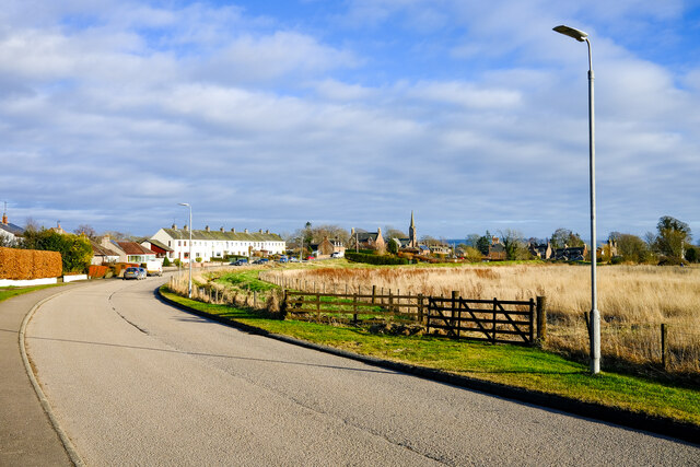
Kincardine, Aberdeenshire
Kincardine was a burgh in Scotland, near the present-day village of Fettercairn. It served as the first county town of Kincardineshire. The settlement...

Thornton Castle, Marykirk
Thornton Castle, Marykirk, Aberdeenshire is a fortress or fortified residence in Marykirk, Aberdeenshire. Parts of the house date from 1531. It was the...
Nearby Amenities
Located within 500m of 56.847572,-2.5546106Have you been to Cutties Strip?
Leave your review of Cutties Strip below (or comments, questions and feedback).