Bankhead Wood

Wood, Forest in Aberdeenshire

Scotland

Bankhead Wood

Pasture, Woodland and Triangulation Pillar near Bankhead Looking south-westward.
Pasture, Woodland and Triangulation Pillar near Bankhead Credit: Peter Wood

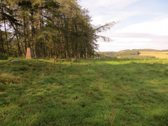
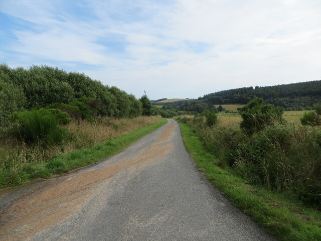
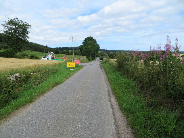
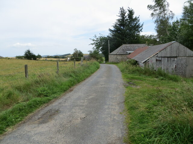
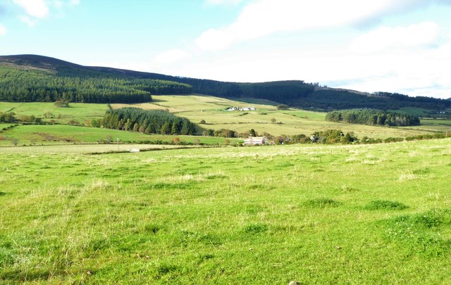
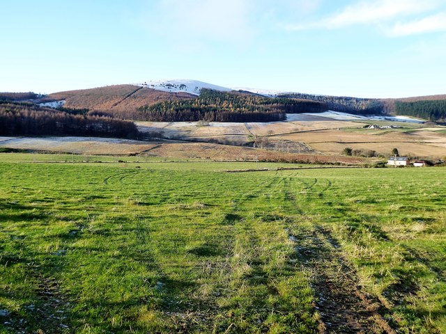
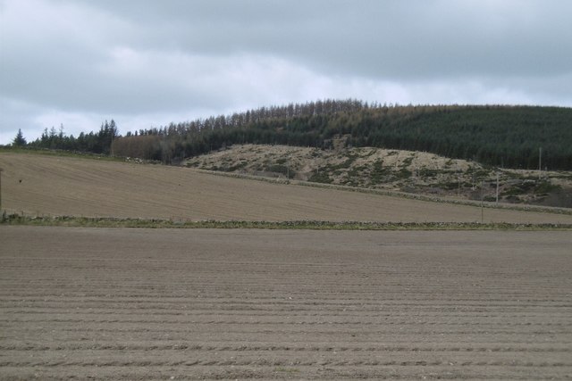
Bankhead Wood is a picturesque woodland located in Aberdeenshire, Scotland. Situated near the village of Torphins, this tranquil forest covers an area of approximately 100 hectares. The wood is easily accessible and is a popular destination for nature lovers, hikers, and families seeking a peaceful retreat.

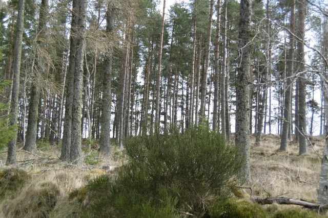
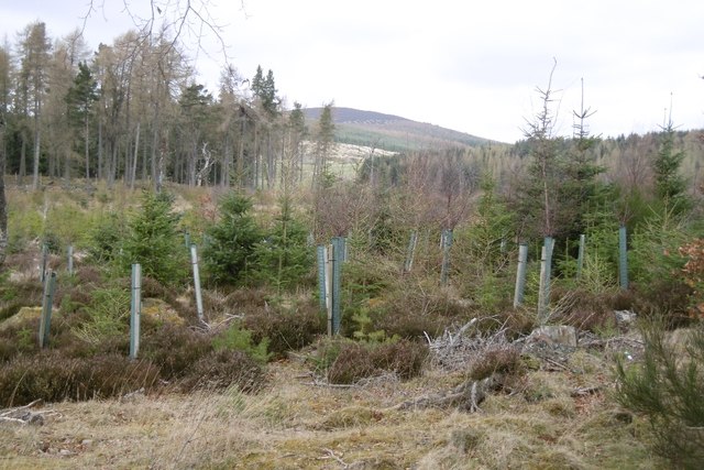
Bankhead Wood boasts a diverse range of flora and fauna, making it a haven for wildlife enthusiasts. The forest is predominantly composed of native Scottish trees such as oak, birch, and Scots pine, providing a rich habitat for a variety of bird species, including woodpeckers, owls, and buzzards. Visitors may also encounter red squirrels, badgers, and deer, adding to the enchanting atmosphere of the woodland.

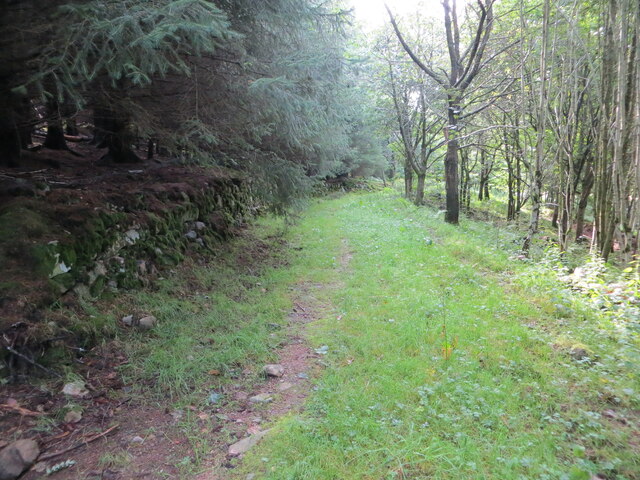
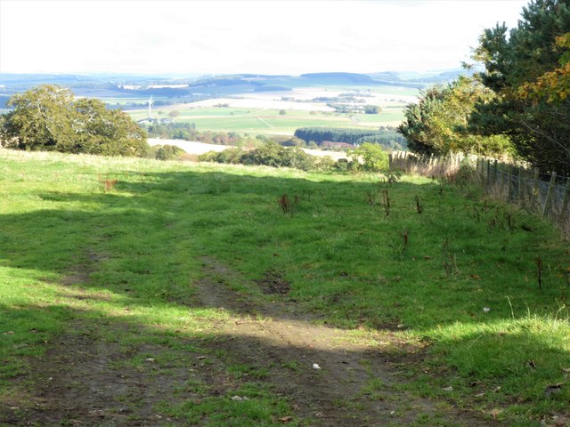
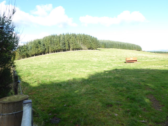
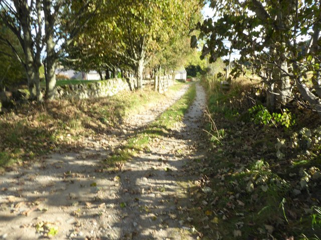
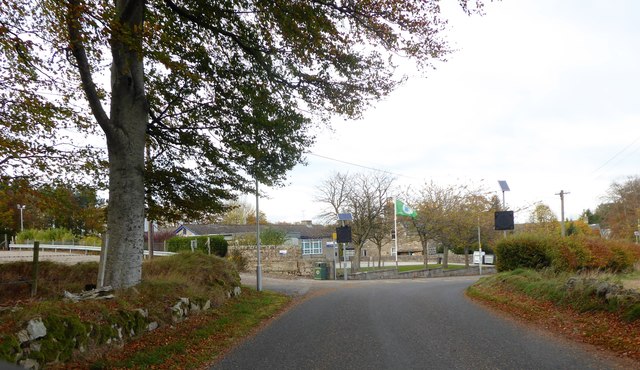
A network of well-maintained trails crisscrosses Bankhead Wood, offering visitors the opportunity to explore the area at their own pace. These paths vary in difficulty, catering to both casual walkers and more experienced hikers. Along the way, visitors can enjoy the stunning scenery, including babbling brooks, moss-covered rocks, and vibrant wildflowers.

The wood also features several picnic areas and benches, providing a perfect spot for visitors to relax and enjoy a packed lunch amidst the natural beauty. Additionally, interpretive signs placed throughout the forest offer educational insights into the local wildlife and ecosystem.

Bankhead Wood is a true gem in Aberdeenshire, providing a serene and immersive experience for nature enthusiasts of all ages. Whether it's a leisurely stroll, birdwatching, or a family picnic, this enchanting forest offers something for everyone seeking a respite from the hustle and bustle of everyday life.

If you have any feedback on the listing, please let us know in the comments section below.

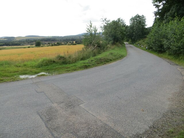
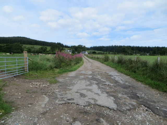
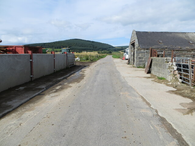
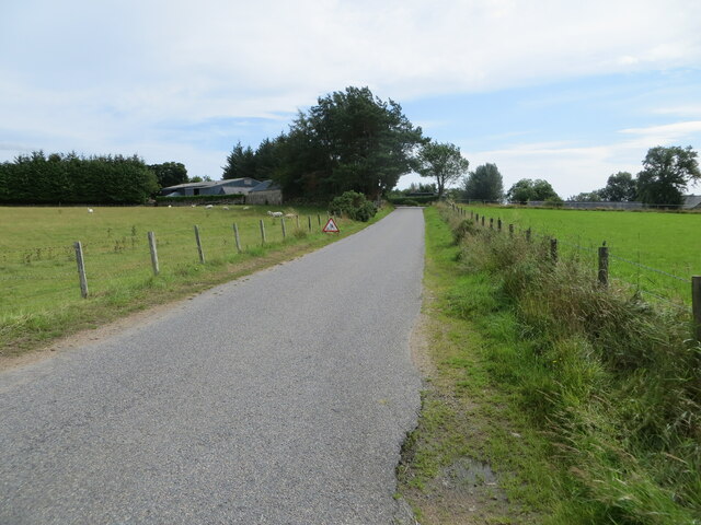
Bankhead Wood Images

Images are sourced within 2km of 57.162131/-2.5593296 or Grid Reference NJ6608. Thanks to Geograph Open Source API. All images are credited.

Pasture, Woodland and Triangulation Pillar near Bankhead Looking south-westward.
Pasture, Woodland and Triangulation Pillar near Bankhead
Looking south-westward.
Woodland track near to Bankhead Looking south-eastward.
Woodland track near to Bankhead
Looking south-eastward.
Minor road near to North Bandodle Looking north-eastward.
Minor road near to North Bandodle
Looking north-eastward.
Closure of minor road near to Nether Bankhead Looking north-westward.
Closure of minor road near to Nether Bankhead
Looking north-westward.
Minor road at Bogend Looking south-eastward.
Minor road at Bogend
Looking south-eastward.
Trac k giving access to Scottiestone Looking north-westward.
Trac k giving access to Scottiestone
Looking north-westward.
Minor road at Slydie Looking south-westward.
Minor road at Slydie
Looking south-westward.
Minor road approaching Tillybirloch Looking eastward.
Minor road approaching Tillybirloch
Looking eastward.
Minor road at Comers Wood Looking north-eastward.
Minor road at Comers Wood
Looking north-eastward.
View ENE from B993 From a dogleg bend in the B-road past the lane to Mains of Shiels.
View ENE from B993
From a dogleg bend in the B-road past the lane to Mains of Shiels.
Pasture land to the north of Mains of Shiels Grassland with a feeding trough for sheep, and the southern edges of Blackstock Wood on the skyline. The B993 is just off left, with a viewpoint from where that road bends sharply and has a junction with a lane to the Mains.
Pasture land to the north of Mains of Shiels
Grassland with a feeding trough for sheep, and the southern edges of Blackstock Wood on the skyline. The B993 is just off left, with a viewpoint from where that road bends sharply and has a junction with a lane to the Mains.
A lane eastwards past Mains of Shiels From a bend in the B993.
A lane eastwards past Mains of Shiels
From a bend in the B993.
A view over the upper Douglas Burn from B993 (Oct 2016) The high peak on the left is Green Hill (491m asl) with part of Corrennie Forest on its lower slopes. The nearer farmstead in view is Upper Burnside by the Douglas Burn; the one beyond on higher ground is Rowanbush.
A view over the upper Douglas Burn from B993 (Oct 2016)
The high peak on the left is Green Hill (491m asl) with part of Corrennie Forest on its lower slopes. The nearer farmstead in view is Upper Burnside by the Douglas Burn; the one beyond on higher ground is Rowanbush.
Midmar School, Glenwood By minor road north of Little Tillybirloch.
Midmar School, Glenwood
By minor road north of Little Tillybirloch.
A view over the upper Douglas Burn from B993 (Nov 2017) From near Mains of Shiels; towards the snow-capped Green Hill.
A view over the upper Douglas Burn from B993 (Nov 2017)
From near Mains of Shiels; towards the snow-capped Green Hill.
Woodland, Birselasie Roadside pine wood, plenty of those around here.
Woodland, Birselasie
Roadside pine wood, plenty of those around here.
Spring arable, Rinalloch
Woodland, Birselasie The usual conifer mix for this area.
Woodland, Birselasie
The usual conifer mix for this area.
Show me another place!

Bankhead Wood is located at Grid Ref: NJ6608 (Lat: 57.162131, Lng: -2.5593296)

Unitary Authority: Aberdeenshire

Police Authority: North East

What 3 Words

///rebounder.whites.regularly. Near Sauchen, Aberdeenshire

Nearby Locations

Bankhead Bankhead Wood

Related Wikis

Corsindae House

Corsindae House is a 16th-century castle, originally L-plan, about 8 miles (13 km) north of Banchory, Aberdeenshire, Scotland, and 1 mile (1.6 km) north...

Midmar

Midmar is a historic settlement in Aberdeenshire, lying north of Banchory and southwest of Inverurie. It is noted for its three stone circles and various...

Tillyfourie

Tillyfourie is a hamlet in Aberdeenshire, Scotland. It is situated at the junction between the A944 road and the B993 road. A disused quarry and a stone...

A944 road

The A944 road connects Aberdeen with Strathdon in north-east Scotland. == Route == It originates at the Lang Stracht in the city, which is a re-routing...

Tillycairn Castle

Tillycairn Castle is an L-plan castle, dating from the 16th century, standing on high ground around 2.0 miles (3.2 km) south-east of Cluny in Aberdeenshire...

Sauchen

Sauchen is a village in Aberdeenshire, Scotland that lies 3 miles (5 km) west of Dunecht and 10 miles (16 km) west of Aberdeen. The village has around...

Tillyfourie railway station

Tillyfourie railway station was a railway station serving Tillyfourie, Aberdeenshire, Scotland. The station opened on 2 June 1860 on the Alford Valley...

Tornaveen

Tornaveen (Scottish Gaelic: Tòrr nam Fiann) is a district to the north of the small village of Lumphanan, Aberdeenshire, Scotland. It is on the Tarland...

Nearby Amenities

Located within 500m of 57.162131,-2.5593296
Power: pole
Lat/Long: 57.1585707/-2.5618849
Power: pole
Lat/Long: 57.1590314/-2.5629112
Power: pole
Lat/Long: 57.1595188/-2.5640007
Power: pole
Lat/Long: 57.159955/-2.5649744
Power: pole
Lat/Long: 57.1604257/-2.5660123
Power: pole
Lat/Long: 57.1609012/-2.5671254
Power: pole
Lat/Long: 57.1580839/-2.5607973
Power: pole
Lat/Long: 57.1612657/-2.5522623
Power: pole
Lat/Long: 57.1616199/-2.5531967
Power: pole
Lat/Long: 57.1619701/-2.5540954
Power: pole
Lat/Long: 57.1622795/-2.5549532
Power: pole
Lat/Long: 57.1609081/-2.5652528
Power: pole
Lat/Long: 57.1606824/-2.564775
Power: pole
Lat/Long: 57.1603599/-2.5640635
Power: pole
Lat/Long: 57.1600236/-2.5633265
Power: pole
Lat/Long: 57.1596021/-2.5624154
Power: pole
Lat/Long: 57.1592888/-2.5617337
Power: pole
Lat/Long: 57.1589893/-2.5609968
Power: pole
Lat/Long: 57.1588822/-2.5595844
Power: pole
Lat/Long: 57.1588177/-2.5583675
Power: pole
Lat/Long: 57.1587694/-2.5573439
Power: pole
Lat/Long: 57.1582453/-2.5569595
Power: pole
Lat/Long: 57.1596965/-2.5662892
Power: pole
Lat/Long: 57.1598497/-2.5662234
Power: pole
Lat/Long: 57.1602839/-2.5658814
Power: pole
Lat/Long: 57.1606133/-2.5655438
Power: pole
Lat/Long: 57.1614379/-2.5643162
Power: pole
Lat/Long: 57.1618766/-2.5638702
Power: pole
Lat/Long: 57.1624974/-2.5632989
Power: pole
Lat/Long: 57.1630053/-2.5628529
Power: pole
Lat/Long: 57.1610463/-2.562768
Power: pole
Lat/Long: 57.1612547/-2.5635771
Power: pole
Lat/Long: 57.1618306/-2.5644033
Power: pole
Lat/Long: 57.1622095/-2.5644967
Power: pole
Lat/Long: 57.1629615/-2.5549982
Power: pole
Lat/Long: 57.1636427/-2.5550438
Power: pole
Lat/Long: 57.164359/-2.5550969
Power: pole
Lat/Long: 57.165081/-2.5551755
Power: pole
Lat/Long: 57.165826/-2.5552158
Power: pole
Lat/Long: 57.161891/-2.551843
Power: pole
Lat/Long: 57.1625631/-2.5513832
The data included in this document is from www.openstreetmap.org. The data is made available under ODbL.

Have you been to Bankhead Wood?

Leave your review of Bankhead Wood below (or comments, questions and feedback).