Bankhead

Settlement in Aberdeenshire

Scotland

Bankhead

Minor road between Baudygaun and Rinalloch Looking north-eastward.
Minor road between Baudygaun and Rinalloch Credit: Peter Wood

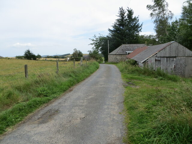
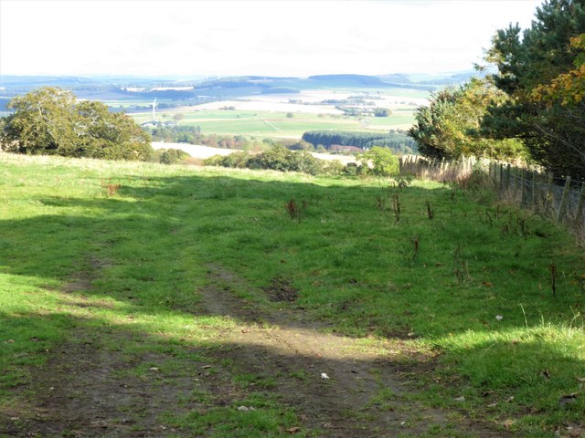
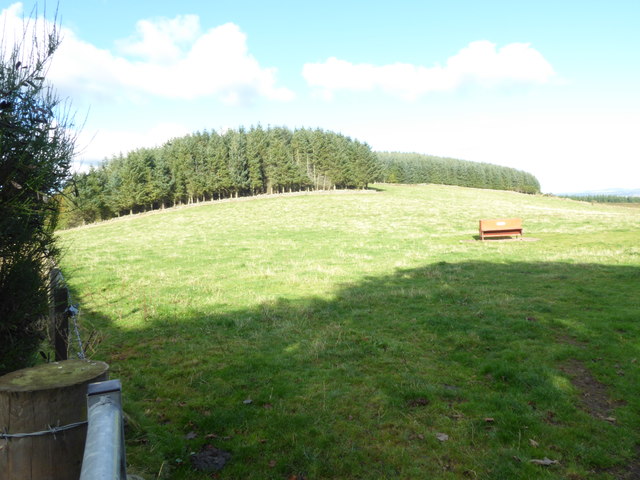
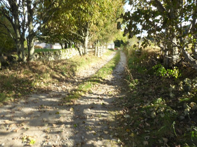
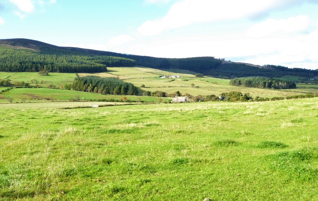
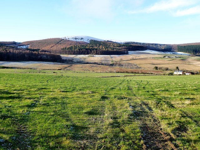
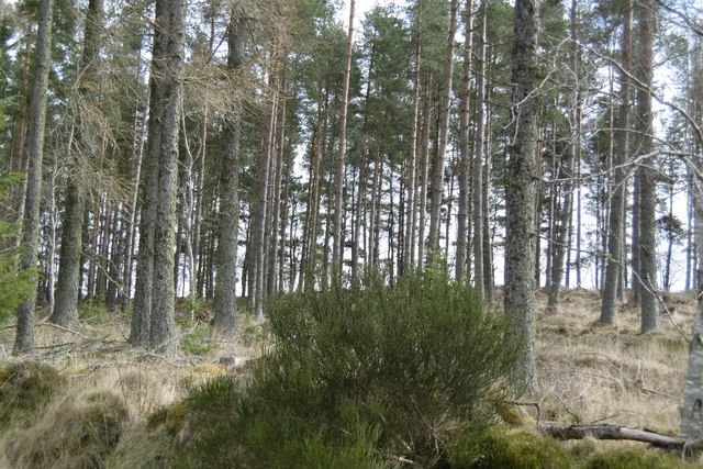
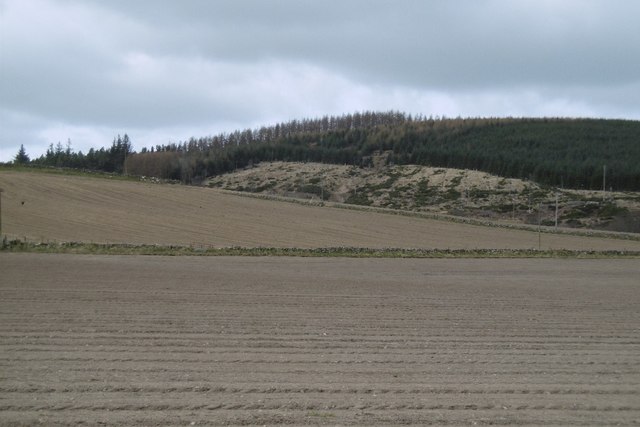
Bankhead is a small village located in Aberdeenshire, Scotland. Situated approximately 9 miles west of Aberdeen, it is nestled in the picturesque countryside of the region. The village is surrounded by rolling hills and farmland, providing a tranquil and scenic setting for its residents.

Bankhead is known for its close-knit community and friendly atmosphere. The village has a small population, consisting mainly of families and retirees. The residents take pride in their village and actively participate in various community events and initiatives.

Despite its small size, Bankhead offers a range of amenities to its residents. There is a local primary school, ensuring that children have easy access to education. The village also has a community center, which serves as a hub for social gatherings and activities. Additionally, there is a small convenience store for basic necessities, although many residents travel to nearby towns for a wider range of shopping options.

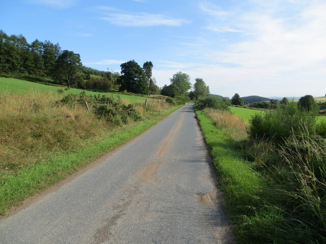
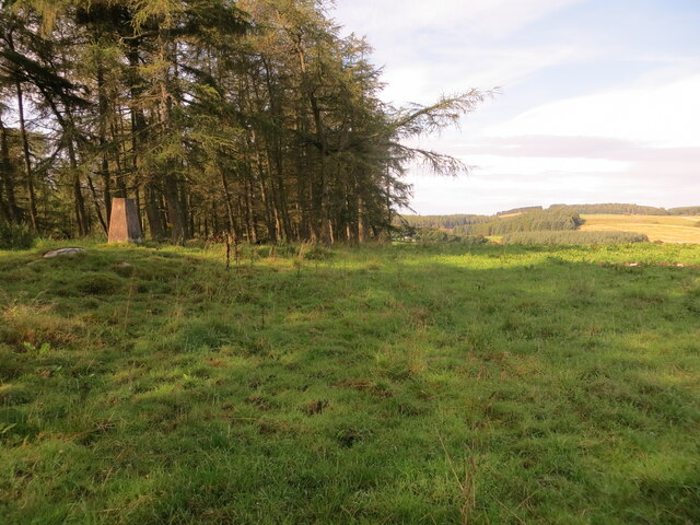
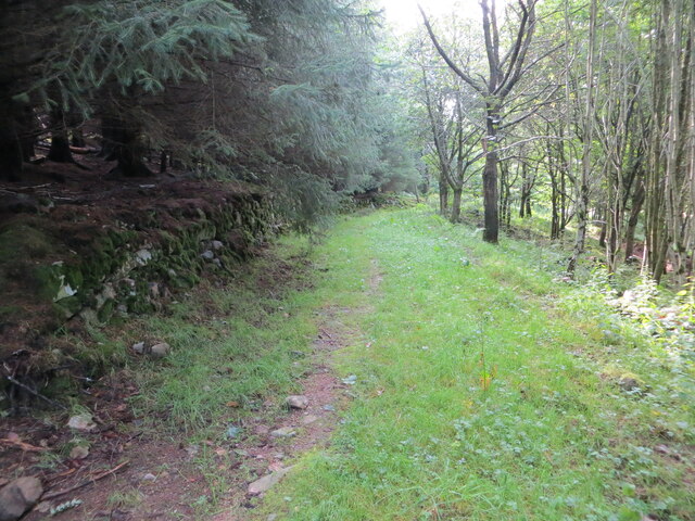
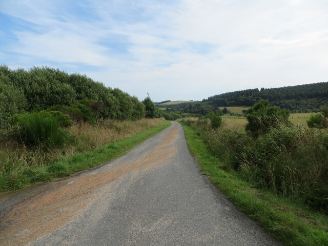
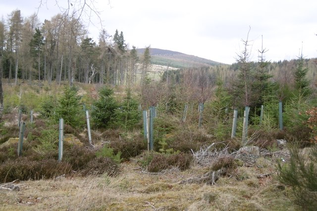
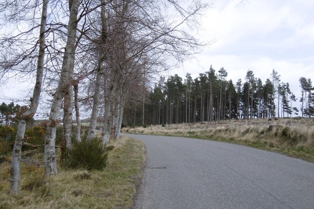
The natural beauty of the surrounding area provides ample opportunities for outdoor activities. Residents and visitors can explore the numerous walking trails, enjoy picnics in the countryside, or engage in fishing in the nearby rivers. The village is also within close proximity to larger towns, offering access to recreational facilities, cultural events, and employment opportunities.

Bankhead, Aberdeenshire, with its idyllic setting and strong community spirit, offers a peaceful and welcoming environment for its residents.

If you have any feedback on the listing, please let us know in the comments section below.
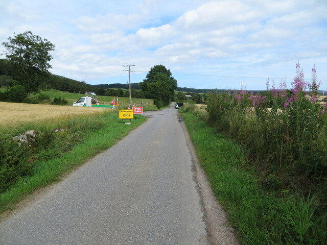
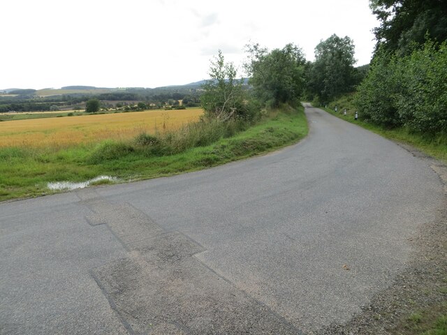
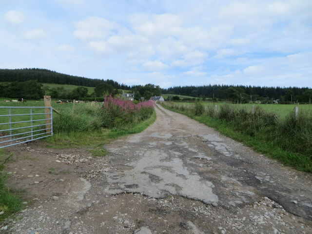
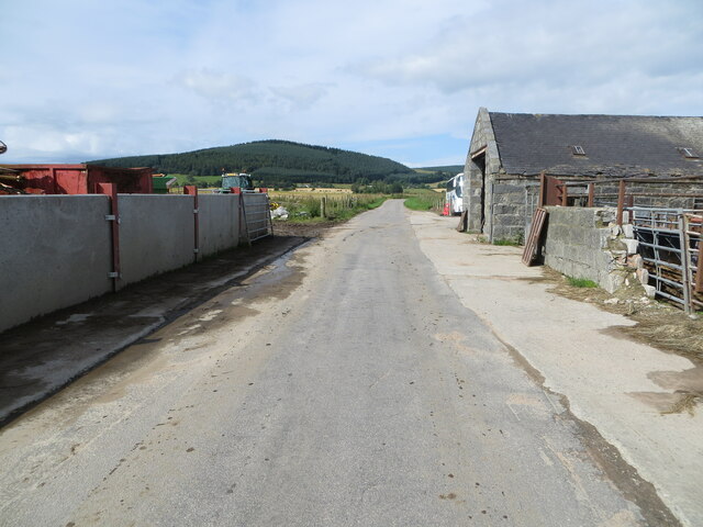
Bankhead Images

Images are sourced within 2km of 57.16413/-2.5622367 or Grid Reference NJ6608. Thanks to Geograph Open Source API. All images are credited.

Minor road between Baudygaun and Rinalloch Looking north-eastward.
Minor road between Baudygaun and Rinalloch
Looking north-eastward.
Pasture, Woodland and Triangulation Pillar near Bankhead Looking south-westward.
Pasture, Woodland and Triangulation Pillar near Bankhead
Looking south-westward.
Woodland track near to Bankhead Looking south-eastward.
Woodland track near to Bankhead
Looking south-eastward.
Minor road near to North Bandodle Looking north-eastward.
Minor road near to North Bandodle
Looking north-eastward.
Closure of minor road near to Nether Bankhead Looking north-westward.
Closure of minor road near to Nether Bankhead
Looking north-westward.
Minor road at Bogend Looking south-eastward.
Minor road at Bogend
Looking south-eastward.
Trac k giving access to Scottiestone Looking north-westward.
Trac k giving access to Scottiestone
Looking north-westward.
Minor road at Slydie Looking south-westward.
Minor road at Slydie
Looking south-westward.
Minor road at Comers Wood Looking north-eastward.
Minor road at Comers Wood
Looking north-eastward.
View ENE from B993 From a dogleg bend in the B-road past the lane to Mains of Shiels.
View ENE from B993
From a dogleg bend in the B-road past the lane to Mains of Shiels.
Pasture land to the north of Mains of Shiels Grassland with a feeding trough for sheep, and the southern edges of Blackstock Wood on the skyline. The B993 is just off left, with a viewpoint from where that road bends sharply and has a junction with a lane to the Mains.
Pasture land to the north of Mains of Shiels
Grassland with a feeding trough for sheep, and the southern edges of Blackstock Wood on the skyline. The B993 is just off left, with a viewpoint from where that road bends sharply and has a junction with a lane to the Mains.
A lane eastwards past Mains of Shiels From a bend in the B993.
A lane eastwards past Mains of Shiels
From a bend in the B993.
A view over the upper Douglas Burn from B993 (Oct 2016) The high peak on the left is Green Hill (491m asl) with part of Corrennie Forest on its lower slopes. The nearer farmstead in view is Upper Burnside by the Douglas Burn; the one beyond on higher ground is Rowanbush.
A view over the upper Douglas Burn from B993 (Oct 2016)
The high peak on the left is Green Hill (491m asl) with part of Corrennie Forest on its lower slopes. The nearer farmstead in view is Upper Burnside by the Douglas Burn; the one beyond on higher ground is Rowanbush.
A view over the upper Douglas Burn from B993 (Nov 2017) From near Mains of Shiels; towards the snow-capped Green Hill.
A view over the upper Douglas Burn from B993 (Nov 2017)
From near Mains of Shiels; towards the snow-capped Green Hill.
Woodland, Birselasie Roadside pine wood, plenty of those around here.
Woodland, Birselasie
Roadside pine wood, plenty of those around here.
Spring arable, Rinalloch
Woodland, Birselasie The usual conifer mix for this area.
Woodland, Birselasie
The usual conifer mix for this area.
B993 Passing through a conifer wood, mixed species and ages.  Very different to the acid upland monoculture forests.
B993
Passing through a conifer wood, mixed species and ages. Very different to the acid upland monoculture forests.
Show me another place!

Bankhead is located at Grid Ref: NJ6608 (Lat: 57.16413, Lng: -2.5622367)

Unitary Authority: Aberdeenshire

Police Authority: North East

What 3 Words

///retrain.defaults.waltz. Near Sauchen, Aberdeenshire

Nearby Locations

Bankhead Wood Bankhead

Related Wikis

Nearby Amenities

Located within 500m of 57.16413,-2.5622367
Power: pole
Lat/Long: 57.159955/-2.5649744
Power: pole
Lat/Long: 57.1604257/-2.5660123
Power: pole
Lat/Long: 57.1609012/-2.5671254
Power: pole
Lat/Long: 57.1613995/-2.5682383
Power: pole
Lat/Long: 57.1618455/-2.5691446
Power: pole
Lat/Long: 57.1622795/-2.5549532
Power: pole
Lat/Long: 57.1609081/-2.5652528
Power: pole
Lat/Long: 57.1606824/-2.564775
Power: pole
Lat/Long: 57.1603599/-2.5640635
Power: pole
Lat/Long: 57.1600236/-2.5633265
Power: pole
Lat/Long: 57.1602839/-2.5658814
Power: pole
Lat/Long: 57.1606133/-2.5655438
Power: pole
Lat/Long: 57.1614379/-2.5643162
Power: pole
Lat/Long: 57.1618766/-2.5638702
Power: pole
Lat/Long: 57.1624974/-2.5632989
Power: pole
Lat/Long: 57.1630053/-2.5628529
Power: pole
Lat/Long: 57.1610463/-2.562768
Power: pole
Lat/Long: 57.1612547/-2.5635771
Power: pole
Lat/Long: 57.1618306/-2.5644033
Power: pole
Lat/Long: 57.1622095/-2.5644967
Power: pole
Lat/Long: 57.1629615/-2.5549982
Power: pole
Lat/Long: 57.1636427/-2.5550438
Power: pole
Lat/Long: 57.164359/-2.5550969
Power: pole
Lat/Long: 57.165081/-2.5551755
Power: pole
Lat/Long: 57.165826/-2.5552158
Power: pole
Lat/Long: 57.1664893/-2.5552626
Power: pole
Lat/Long: 57.1673702/-2.5566473
Power: pole
Lat/Long: 57.1674704/-2.5581169
Power: pole
Lat/Long: 57.1679275/-2.5586606
Power: pole
Lat/Long: 57.1669649/-2.5580553
Power: pole
Lat/Long: 57.1666252/-2.5580065
The data included in this document is from www.openstreetmap.org. The data is made available under ODbL.

Have you been to Bankhead?

Leave your review of Bankhead below (or comments, questions and feedback).