Bankhouse Bottom

Settlement in Yorkshire

England

Bankhouse Bottom

Tyersal Club, Tyersal Road, Bradford
Tyersal Club, Tyersal Road, Bradford Credit: Stephen Armstrong

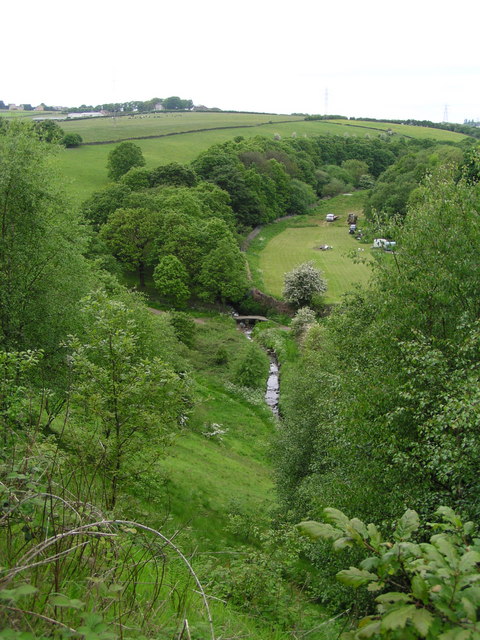
Bankhouse Bottom is a picturesque valley nestled in the heart of Yorkshire, England. Located within the Craven district, this charming hamlet is surrounded by rolling hills and lush green countryside, making it an idyllic retreat for nature lovers and outdoor enthusiasts.

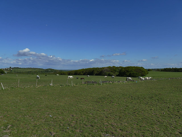
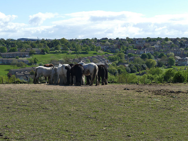
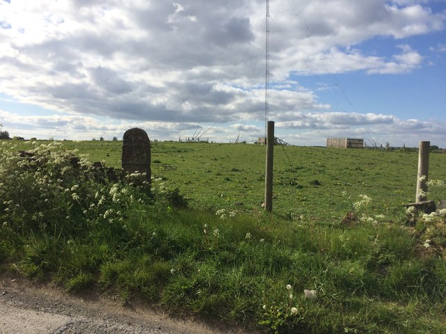
Situated near the village of Gargrave, Bankhouse Bottom is renowned for its unspoiled beauty and tranquil atmosphere. The valley is traversed by the meandering River Aire, which adds to its scenic charm. Visitors can enjoy leisurely walks along the riverbanks or explore the numerous trails that wind through the surrounding woodlands, providing stunning views of the valley and its surrounding landscape.

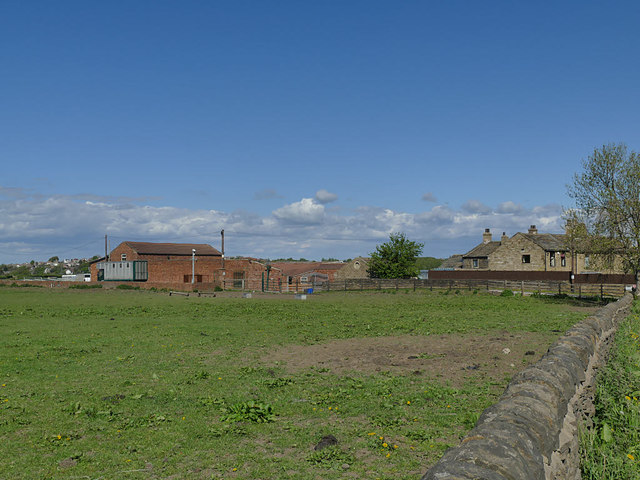
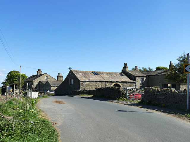
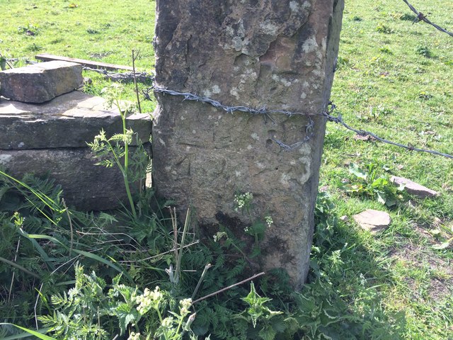
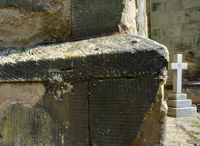
Bankhouse Bottom is also known for its rich historical heritage. The area boasts several ancient landmarks, including the nearby 17th-century Grade II listed Bank House Farm, which adds a touch of architectural beauty to the landscape. Additionally, the valley is dotted with remnants of its industrial past, with the remains of old mills and stone quarries serving as a reminder of the region's historical significance.

Despite its rural setting, Bankhouse Bottom is conveniently located near the bustling market town of Skipton, which offers a range of amenities including shops, restaurants, and accommodation options. The area is also within easy reach of the Yorkshire Dales National Park, providing ample opportunities for hiking, cycling, and exploring the natural wonders of the region.

Overall, Bankhouse Bottom in Yorkshire offers a peaceful and picturesque retreat, combining natural beauty with a rich historical heritage, making it a must-visit destination for those seeking a serene escape in the heart of England's countryside.

If you have any feedback on the listing, please let us know in the comments section below.

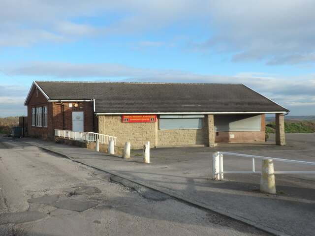
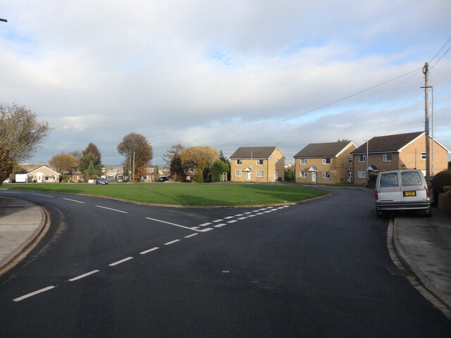
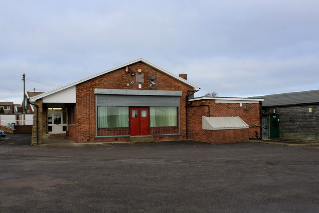
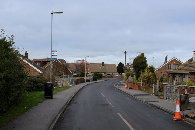
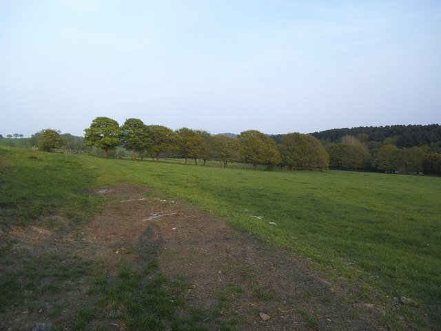
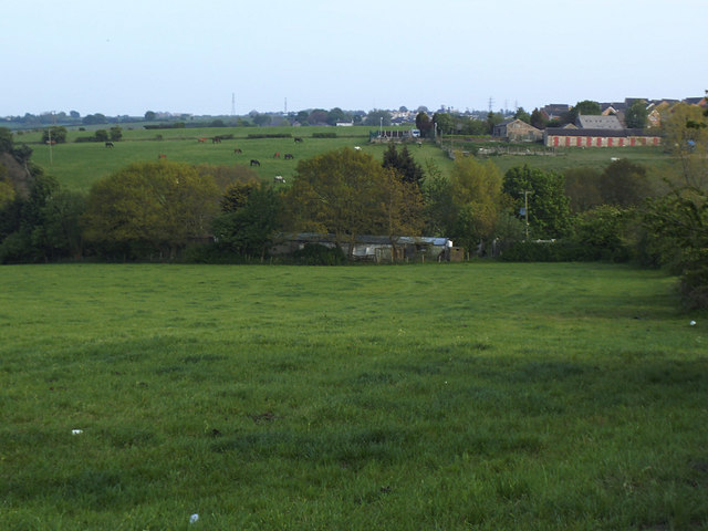
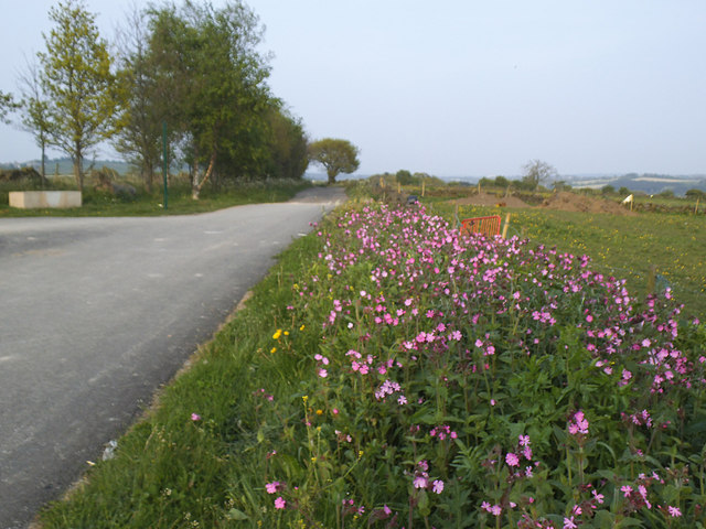
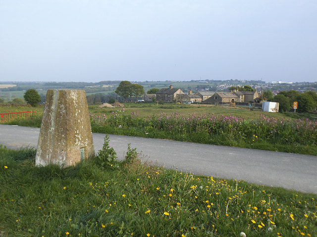
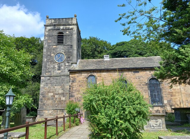
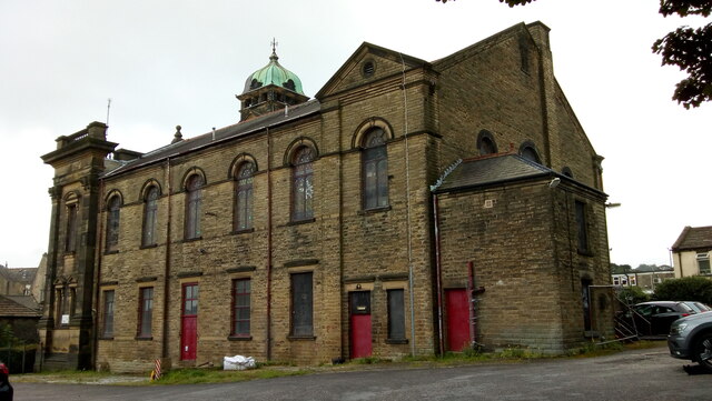
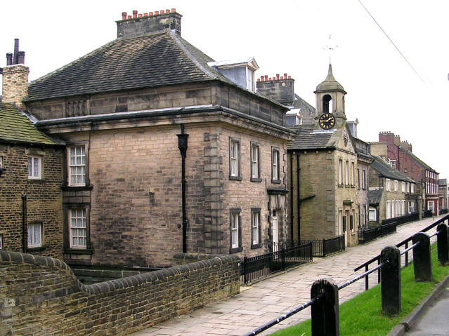
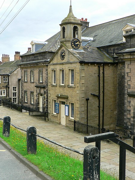
Bankhouse Bottom Images

Images are sourced within 2km of 53.784075/-1.6722963 or Grid Reference SE2132. Thanks to Geograph Open Source API. All images are credited.

Tyersal Club, Tyersal Road, Bradford
Tyersal Crescent, Bradford
Tyersal Residents Association Community Centre Located on the eastern edge of Tyersal
Tyersal Residents Association Community Centre
Located on the eastern edge of Tyersal
Tyersal Crescent
Tyersal Crescent
Field off Ned Lane, Holmewood Compare an earlier view in 2009 <a href="https://www.geograph.org.uk/photo/1379565">SE1931 : Field off Ned Lane, Tong</a>.
Field off Ned Lane, Holmewood
Compare an earlier view in 2009 SE1931 : Field off Ned Lane, Tong.
View across the Holme Beck from Ned Lane The Holme Beck drains this shallow valley which is within Bradford district, but east of the watershed between Bradford and Leeds, draining into the Tyersal Beck on the borough boundary.
View across the Holme Beck from Ned Lane
The Holme Beck drains this shallow valley which is within Bradford district, but east of the watershed between Bradford and Leeds, draining into the Tyersal Beck on the borough boundary.
Start of the cycle route into Black Carr Wood  The path from here into the woods is strictly only a public footpath but is shown on the Explorer map as a permissive cycle route.  

Warning to any other cyclists who venture down here: it starts off with a good macadam surface but becomes very rough through the woods and really only suitable for mountain bikes.
Start of the cycle route into Black Carr Wood
The path from here into the woods is strictly only a public footpath but is shown on the Explorer map as a permissive cycle route. Warning to any other cyclists who venture down here: it starts off with a good macadam surface but becomes very rough through the woods and really only suitable for mountain bikes.
Trig pillar by Ned Lane The triangulation pillar has a height of about 185m. See also <a href="https://www.geograph.org.uk/photo/1379542">SE1931 : Triangulation pillar off Ned Lane, Tong</a>.
Trig pillar by Ned Lane
The triangulation pillar has a height of about 185m. See also SE1931 : Triangulation pillar off Ned Lane, Tong.
Tyersal House Farm A stud farm (horse breeding).
Tyersal House Farm
A stud farm (horse breeding).
Horses at Tyersal House Farm Tyersal House is a stud farm.
Horses at Tyersal House Farm
Tyersal House is a stud farm.
The Tyersal Lane transmitter A medium wave radio transmitter mast on high ground south-east of Bradford.
The Tyersal Lane transmitter
A medium wave radio transmitter mast on high ground south-east of Bradford.
Holme Bank Farm, Ned Lane, Tyersal The farmstead is covered by two list entries (both grade II); the nearer group of buildings including the barn in the centre of the photo dates from the 18th century (list entry 1314515).
Holme Bank Farm, Ned Lane, Tyersal
The farmstead is covered by two list entries (both grade II); the nearer group of buildings including the barn in the centre of the photo dates from the 18th century (list entry 1314515).
Feeding time for the horses at Holme Bank Farm
Bench Mark on Gatepost Tyersal Lane Near Mast Bench mark description <span class="nowrap"><a title="https://www.bench-marks.org.uk/bm121094" rel="nofollow ugc noopener" href="https://www.bench-marks.org.uk/bm121094">Link</a><img style="margin-left:2px;" alt="External link" title="External link - shift click to open in new window" src="https://s1.geograph.org.uk/img/external.png" width="10" height="10"/></span>
Approach view <a title="https://www.geograph.org.uk/photo/6474233" href="https://www.geograph.org.uk/photo/6474233">Link</a>
Bench Mark on Gatepost Tyersal Lane Near Mast
Bench mark description LinkExternal link Approach view Link
Bench Mark on Gatepost Tyersal Lane Near Mast Approach view of bench mark. Close up view <a title="https://www.geograph.org.uk/photo/6474188" href="https://www.geograph.org.uk/photo/6474188">Link</a>
Bench mark description <span class="nowrap"><a title="https://www.bench-marks.org.uk/bm121094" rel="nofollow ugc noopener" href="https://www.bench-marks.org.uk/bm121094">Link</a><img style="margin-left:2px;" alt="External link" title="External link - shift click to open in new window" src="https://s1.geograph.org.uk/img/external.png" width="10" height="10"/></span>
Bench Mark on Gatepost Tyersal Lane Near Mast
Approach view of bench mark. Close up view Link Bench mark description LinkExternal link
Tong, St James's church The church is located on the north side of the road which runs through the village. This benchmark is cut into the west face of the tower. The arrowhead is slightly damaged, but the datum line remains very clear.
Tong, St James's church
The church is located on the north side of the road which runs through the village. This benchmark is cut into the west face of the tower. The arrowhead is slightly damaged, but the datum line remains very clear.
Tong, St James's church The church is located on the north side of the road which runs through the village. There is a benchmark cut into the west face of the tower. The arrowhead is slightly damaged, but the datum line remains very clear.
Tong, St James's church
The church is located on the north side of the road which runs through the village. There is a benchmark cut into the west face of the tower. The arrowhead is slightly damaged, but the datum line remains very clear.
Former Trinity Methodist Church, Pudsey A view of the east side and rear from Mount Pleasant Heights. Grade II Listed c1899.
Former Trinity Methodist Church, Pudsey
A view of the east side and rear from Mount Pleasant Heights. Grade II Listed c1899.
Show me another place!

Bankhouse Bottom is located at Grid Ref: SE2132 (Lat: 53.784075, Lng: -1.6722963)

Division: West Riding

Unitary Authority: Leeds

Police Authority: West Yorkshire

What 3 Words

///hosts.target.juror. Near Pudsey, West Yorkshire

Related Wikis

Nearby Amenities

Located within 500m of 53.784075,-1.6722963
Pub
The Bankhouse Inn
Addr City: Pudsey
Addr Housenumber: 40
Addr Postcode: LS28 8EB
Addr Street: Bankhouse Lane
Fhrs Id: 1597014
Lat/Long: 53.7843273/-1.6718361
Fulneck Moravian Settlement
Place: village
Wikidata: Q5508369
Lat/Long: 53.7839755/-1.664907
Fulneck Moravian Museum
Email: museum@fulneck.org.uk
Fee: no
Phone: +44 113 256 5180
Tourism: museum
Website: http://www.fulneck.org.uk/?page_id=16
Wikidata: Q113369831
Lat/Long: 53.7841023/-1.664982
The Giving Tree
Disused Amenity: cafe
Lat/Long: 53.7837437/-1.6683658
Post Box
Operator: Royal Mail
Post Box Type: wall
Ref: LS28 247
Royal Cypher: GR
Royal Cypher Wikidata: Q33102273
Lat/Long: 53.7837694/-1.6683957
Waste Basket
Collection Times: weekly
Condition: GOOD
Ref UK Leedscc Bin: 1078
Waste Basket Model: METAL SQUARE
Lat/Long: 53.784129/-1.66503
Waste Basket
Collection Times: weekly
Condition: GOOD
Ref UK Leedscc Bin: 5059
Waste Basket Model: METAL SQUARE
Lat/Long: 53.78373/-1.6668
Waste Basket
Collection Times: weekly
Condition: GOOD
Ref UK Leedscc Bin: 5061
Waste Basket Model: METAL SQUARE
Lat/Long: 53.784303/-1.672553
The data included in this document is from www.openstreetmap.org. The data is made available under ODbL.

Have you been to Bankhouse Bottom?

Leave your review of Bankhouse Bottom below (or comments, questions and feedback).