Bankwood Gate

Settlement in Derbyshire High Peak

England

Bankwood Gate

Holiday park, Charlesworth
Holiday park, Charlesworth Credit: Francis Citpecs

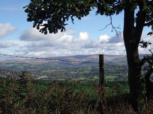
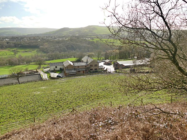
Bankwood Gate is a small village located in the county of Derbyshire, in the East Midlands region of England. Situated in the picturesque Peak District National Park, the village is surrounded by beautiful rolling hills and stunning countryside. It is part of the Derbyshire Dales district and falls within the civil parish of Hartington Upper Quarter.

The village itself is characterized by its quaint and peaceful atmosphere, with a population of around 200 residents. The houses in Bankwood Gate are mostly traditional stone cottages, adding to the area's rural charm.

Despite its small size, Bankwood Gate boasts a strong sense of community, with various social events and gatherings regularly taking place. The village is also home to a local pub, serving as a hub for locals and visitors alike.

The surrounding area offers numerous outdoor activities and attractions. The Peak District National Park provides ample opportunities for hiking, cycling, and exploring the stunning natural landscapes. Nearby, the historic market town of Bakewell offers a range of amenities, including shops, cafes, and a popular weekly market.

Overall, Bankwood Gate is a hidden gem in the heart of the Peak District, offering a peaceful and idyllic setting for those seeking a rural retreat or a base for exploring the surrounding countryside.

If you have any feedback on the listing, please let us know in the comments section below.

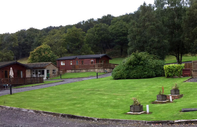
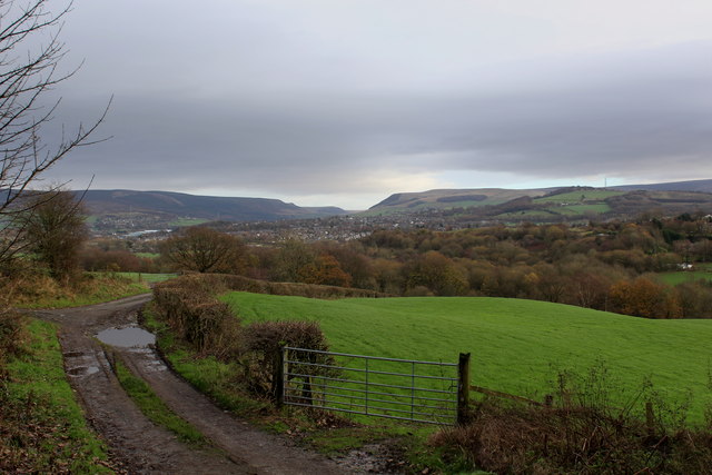
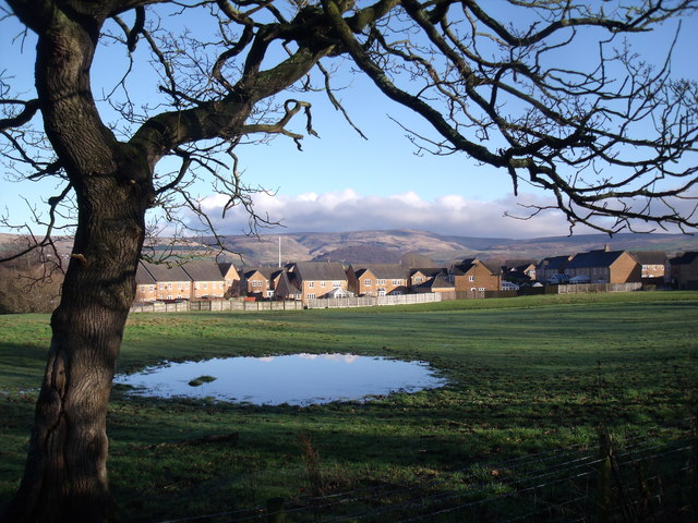
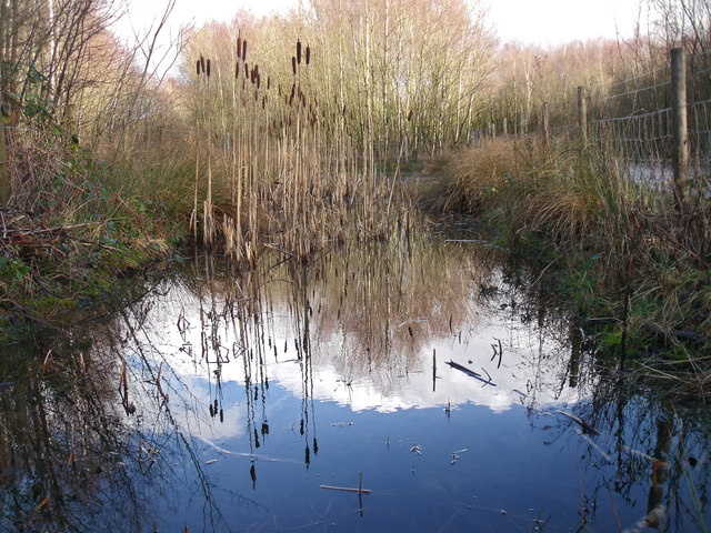
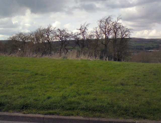
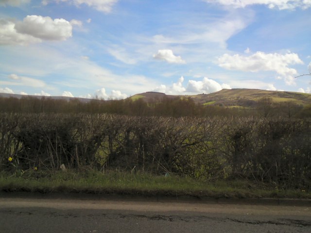
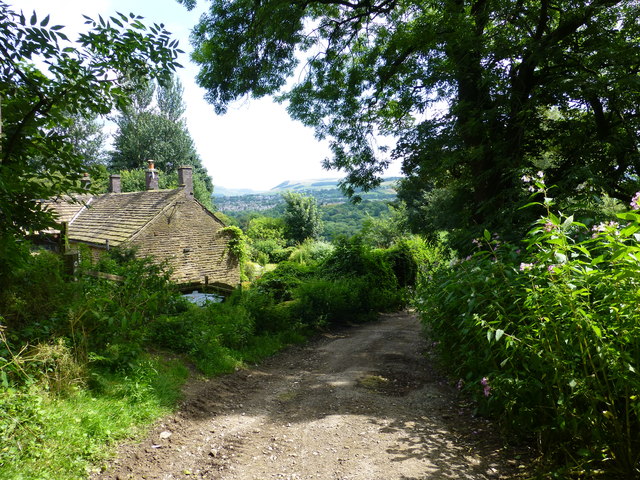
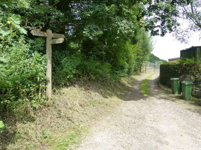
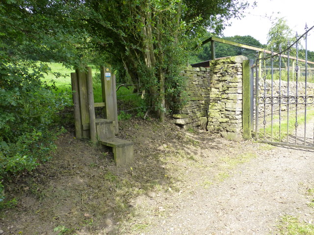
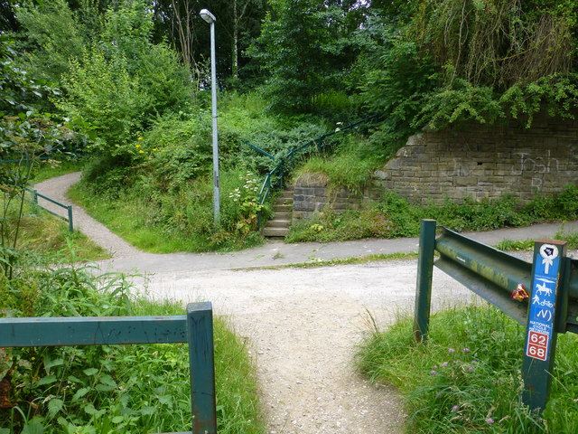
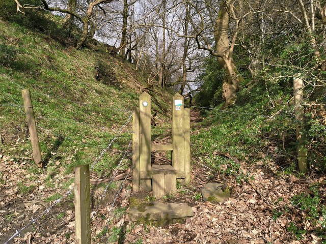
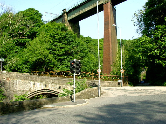
Bankwood Gate Images

Images are sourced within 2km of 53.439265/-2.0031977 or Grid Reference SJ9993. Thanks to Geograph Open Source API. All images are credited.

Holiday park, Charlesworth
View South East from Hague End Pleasing view over the Etherow Valley towards the distant Dark Peak
View South East from Hague End
Pleasing view over the Etherow Valley towards the distant Dark Peak
Simmondley, Glossop Relatively new houses at Simmondley on the outskirts of Glossop. Recent heavy rain has made the field in the foreground somewhat wet.
Simmondley, Glossop
Relatively new houses at Simmondley on the outskirts of Glossop. Recent heavy rain has made the field in the foreground somewhat wet.
Gamesley Woodlands (wildlife pond) Gamesley Woodlands runs alongside the Manchester to Glossop rail line, it was originally railway sidings which formed part of the Mottram and Dinting Marshalling Yard. When the sidings closed pioneer tree species appeared, recently a bridleway has been laid and this pond constructed for the benefit of the public.
Gamesley Woodlands (wildlife pond)
Gamesley Woodlands runs alongside the Manchester to Glossop rail line, it was originally railway sidings which formed part of the Mottram and Dinting Marshalling Yard. When the sidings closed pioneer tree species appeared, recently a bridleway has been laid and this pond constructed for the benefit of the public.
Trees at Gamesley Off Melandra Castle Road.
Trees at Gamesley
Off Melandra Castle Road.
View towards Hargate Hill and Coombes Edge From Glossop Road, Gamesley.
View towards Hargate Hill and Coombes Edge
From Glossop Road, Gamesley.
Hidden signpost near Pear Tree Farm The marker for the Etherow Goyt Valley Trail is on the left leading up stone steps. a large fingerpost is out of view marked Valley Way. The area is also marked on the map as The Hague, the manor house of this name is half a mile away.
Hidden signpost near Pear Tree Farm
The marker for the Etherow Goyt Valley Trail is on the left leading up stone steps. a large fingerpost is out of view marked Valley Way. The area is also marked on the map as The Hague, the manor house of this name is half a mile away.
Fingerpost at The Hague The way straight on towards the gate leads onto the path towards Woolley Bridge.
Fingerpost at The Hague
The way straight on towards the gate leads onto the path towards Woolley Bridge.
Parting of the ways at Pear Tree Farm The stole on the left leads onto the path for Mottram .The hidden unmarked bridleway for Woolley Bridge is beside the stone pillar next to the gate for Pear Tree Farm.
Parting of the ways at Pear Tree Farm
The stole on the left leads onto the path for Mottram .The hidden unmarked bridleway for Woolley Bridge is beside the stone pillar next to the gate for Pear Tree Farm.
Bridge abutment for the Waterside Branch railway The dismantled trackbed is partly used by the Pennine Bridleway. This bridge carried the line over Cottage Lane
Bridge abutment for the Waterside Branch railway
The dismantled trackbed is partly used by the Pennine Bridleway. This bridge carried the line over Cottage Lane
View from Beacon Lane View from Beacon Lane looking over the River Etherow valley with the hills of the Dark Peak in the distance.
View from Beacon Lane
View from Beacon Lane looking over the River Etherow valley with the hills of the Dark Peak in the distance.
View from Beacon Lane View from Beacon Lane looking over the River Etherow valley with the hills of the Dark Peak in the distance.
View from Beacon Lane
View from Beacon Lane looking over the River Etherow valley with the hills of the Dark Peak in the distance.
Glossop Brook joins the River Etherow The River Etherow enters from the right and flows on into the distance, the faster flowing Glossop Brook enters from the left
Glossop Brook joins the River Etherow
The River Etherow enters from the right and flows on into the distance, the faster flowing Glossop Brook enters from the left
Dinting Vale at Cottage Lane
Autoshop on the A57, Dinting Vale
Path along Coombes Edge above Charlesworth
Looking over the Etherow Valley On a public footpath from Mottram
Looking over the Etherow Valley
On a public footpath from Mottram
Stile on path from Gamesley to Mottram On an old hollow way from the hamlet of The Hague up to Mottram
Stile on path from Gamesley to Mottram
On an old hollow way from the hamlet of The Hague up to Mottram
Show me another place!

Bankwood Gate is located at Grid Ref: SJ9993 (Lat: 53.439265, Lng: -2.0031977)

Administrative County: Derbyshire

District: High Peak

Police Authority: Derbyshire

What 3 Words

///serenade.lush.passion. Near Hollingworth, Manchester

Nearby Locations

Broadbottom Bankwood Gate

Related Wikis

Related Videos

Cown Edge Local Wild Camp 🏕

hiking #walking #tramping #scrambling #multidayhike #multiday #greatwalk #bigwalk #adventure #exploring #travel #travelling ...

A Wander Around Cown Edge - Peak District Ethel Bagging

On my first round of the Ethel Challenge, Cown Edge was one of the ones that I visited via shortest route and had no time for a ...

Coombes Edge Exploring a little arete of rock Sunset Sheep V2 PLKM V3

Coombes Edge Exploring a little arete of rock Sunset Sheep V2 PLKM V3 Walked past this rock a few time, had to see if there ...

Nearby Amenities

Located within 500m of 53.439265,-2.0031977
Traffic Signals
Bicycle: yes
Direction: backward
Horse: yes
Lat/Long: 53.4404176/-2.006168
Fast Food
Cuisine: chinese;fish_and_chips
Drive Through: no
Lat/Long: 53.4401069/-2.0084744
Barrier: cattle_grid
Lat/Long: 53.4414718/-2.0090678
Barrier: stile
Lat/Long: 53.4351097/-2.0026696
Bus Stop
Lower Market Street/Cheshire Cheese
Bus: yes
Naptan AtcoCode: 1800EH48771
Naptan Bearing: SE
Naptan CommonName: Lower Market Street/Cheshire Cheese
Naptan Indicator: Peony Gardens
Naptan Landmark: PEONY GARDENS
Naptan NaptanCode: mandjgda
Naptan ShortCommonName: Cheshire Cheese
Naptan Street: MARKET STREET
Naptan Verified: no
Network: TfGM
Public Transport: platform
Source: naptan_import
Lat/Long: 53.4400313/-2.0084003
Bus Stop
Lower Market Street/Cheshire Cheese
Bus: yes
Naptan AtcoCode: 1800EH48781
Naptan Bearing: NW
Naptan CommonName: Lower Market Street/Cheshire Cheese
Naptan Indicator: Cheshire Ch Opp
Naptan Landmark: CHESHIRE CH OPP
Naptan NaptanCode: mandjgdg
Naptan ShortCommonName: Cheshire Cheese
Naptan Street: Lower Market Street
Naptan Verified: no
Network: TfGM
Public Transport: platform
Source: naptan_import
Lat/Long: 53.4399235/-2.0083702
Power: tower
Lat/Long: 53.4405241/-2.0039768
Power: tower
Lat/Long: 53.4364391/-2.0051444
Power: tower
Lat/Long: 53.437615/-2.0036957
Power: tower
Lat/Long: 53.4414317/-2.0040818
Power: tower
Lat/Long: 53.435487/-2.0009385
Post Office
Broadbottom Post Office
Lat/Long: 53.4401321/-2.0090684
Lymefield Garden Centre and Tea Rooms
Addr Housename: Lymefield Garden Centre
Addr Postcode: SK14 6AG
Shop: garden_centre
Website: https://www.lymefield.com/
Lat/Long: 53.4378207/-2.0071254
Description: Besthill Quarry Transpennine Trail
Tourism: information
Lat/Long: 53.440589/-2.0061088
Bench
Lat/Long: 53.441204/-1.9981507
Bench
Lat/Long: 53.440402/-2.0027316
Barrier: cycle_barrier
Bicycle: yes
Foot: yes
Horse: yes
Motor Vehicle: no
Lat/Long: 53.440502/-2.0020478
Barrier: cycle_barrier
Lat/Long: 53.4399289/-2.0010414
Telephone
Booth: K6
Covered: booth
Lat/Long: 53.4404548/-2.009493
Cafe
Broadbutties of Broadbottom
Addr City: Broadbottom
Addr Housenumber: 44
Addr Postcode: SK14 6AA
Addr Street: Lower Market Street
Cuisine: regional;coffee_shop;sandwiches;snacks
Service Bicycle Repair: yes
Service Bicycle Retail: no
Shop: bicycle
Lat/Long: 53.4401553/-2.0091385
Crossing
Crossing: marked
Crossing Island: no
Kerb: flush
Tactile Paving: no
Lat/Long: 53.4405165/-2.0061902
Power: pole
Lat/Long: 53.4436934/-2.0037764
Power: pole
Lat/Long: 53.4420798/-2.003122
Power: pole
Lat/Long: 53.4415398/-2.0029664
Power: pole
Lat/Long: 53.4408304/-2.0027894
Power: pole
Lat/Long: 53.4401898/-2.0025694
Power: pole
Lat/Long: 53.4391832/-2.0022664
Power: pole
Lat/Long: 53.4385984/-2.0021081
Power: pole
Lat/Long: 53.4378874/-2.0018935
Power: pole
Lat/Long: 53.4358135/-2.0012578
Generator Method: photovoltaic
Generator Output Electricity: yes
Generator Source: solar
Generator Type: solar_photovoltaic_panel
Location: roof
Power: generator
Lat/Long: 53.4391137/-2.0030811
Generator Method: photovoltaic
Generator Output Electricity: yes
Generator Source: solar
Generator Type: solar_photovoltaic_panel
Location: roof
Power: generator
Lat/Long: 53.4386951/-2.0005021
Generator Method: photovoltaic
Generator Output Electricity: yes
Generator Source: solar
Generator Type: solar_photovoltaic_panel
Location: roof
Power: generator
Lat/Long: 53.4386951/-2.0003895
Generator Method: photovoltaic
Generator Output Electricity: yes
Generator Source: solar
Generator Type: solar_photovoltaic_panel
Location: roof
Power: generator
Lat/Long: 53.4372155/-1.9992079
Generator Method: photovoltaic
Generator Output Electricity: yes
Generator Source: solar
Generator Type: solar_photovoltaic_panel
Location: roof
Power: generator
Lat/Long: 53.4372251/-1.9991489
Traffic Signals
Direction: backward
Traffic Signals: signal
Lat/Long: 53.4405699/-2.0061915
Traffic Signals
Direction: forward
Traffic Signals: signal
Lat/Long: 53.4402708/-2.0069546
Tiviot Prints Ltd
Man Made: works
Lat/Long: 53.4383463/-2.0063873
Tiviot Prints Mill Shop
Operator: Tiviot Prints Ltd
Payment Cash: yes
Payment Coins: yes
Payment Contactless: yes
Payment Credit Cards: yes
Payment Debit Cards: yes
Payment Mastercard: yes
Payment Visa: yes
Shop: fabric
Website: http://www.tiviotprints.co.uk/the-mill-shop/
Lat/Long: 53.4388349/-2.0056685
Traffic Calming: hump
Lat/Long: 53.4406742/-2.0103127
Power: pole
Lat/Long: 53.4392251/-1.9964335
Power: pole
Lat/Long: 53.4394813/-1.9974565
Power: pole
Lat/Long: 53.4400132/-1.9994651
Power: pole
Lat/Long: 53.4402543/-2.0003455
Post Box
Post Box Type: pillar
Royal Cypher: EIIR
Royal Cypher Wikidata: Q33102113
Lat/Long: 53.4401395/-2.0090242
Barrier: stile
Material: wood
Stile: stepover
Lat/Long: 53.4355634/-2.0015196
The data included in this document is from www.openstreetmap.org. The data is made available under ODbL.

Have you been to Bankwood Gate?

Leave your review of Bankwood Gate below (or comments, questions and feedback).