Broadbottom
Settlement in Cheshire
England
Broadbottom
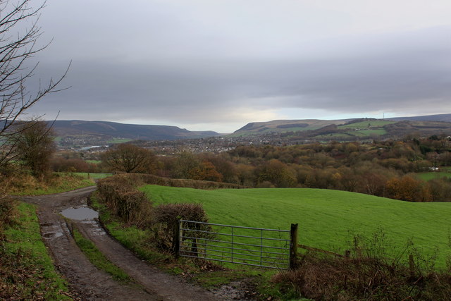
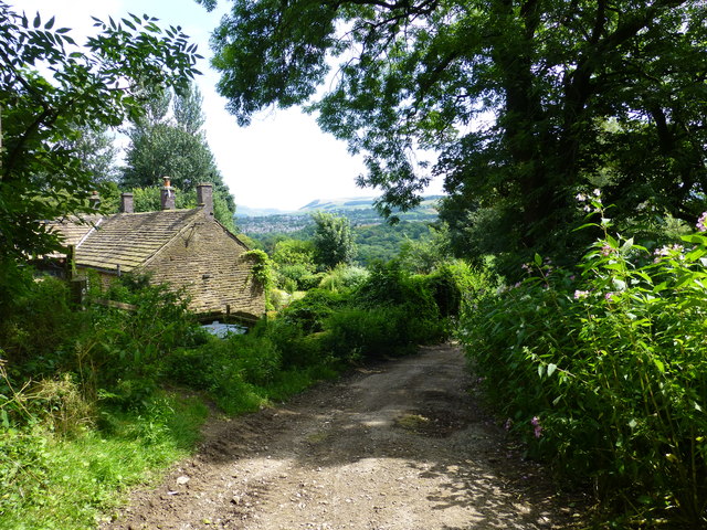
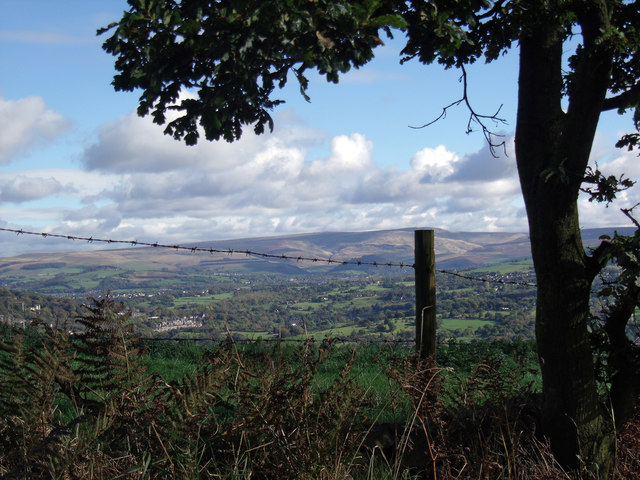
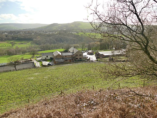
Broadbottom is a small village located in the county of Cheshire, England. Situated in the Tameside borough, it lies on the eastern edge of the Peak District National Park, offering stunning views and access to the picturesque countryside. The village is nestled in the valley of the River Etherow, which runs through its center.
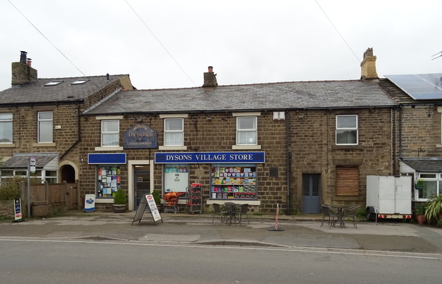
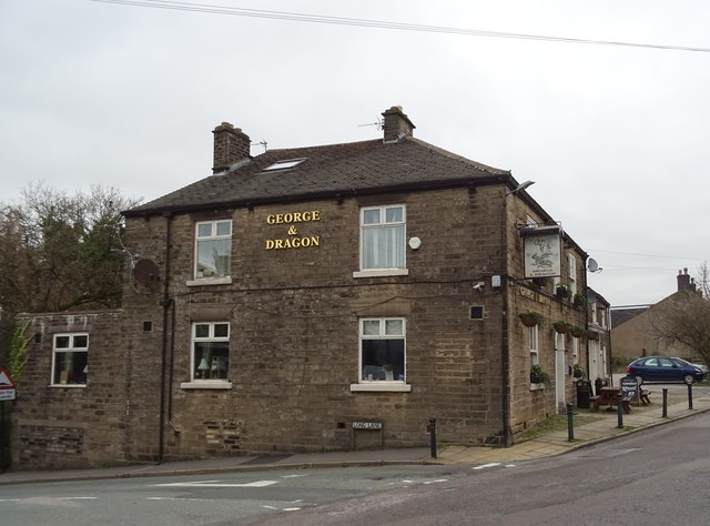
With a population of around 2,000 residents, Broadbottom has a close-knit community atmosphere. The village has a range of amenities, including a primary school, a post office, a convenience store, and a pub. The local pub, The Harewood Arms, is a popular gathering spot for both residents and visitors, offering a warm and friendly atmosphere.
Broadbottom is well-connected to surrounding areas by road and rail. The village has its own railway station, providing regular services to Manchester and Glossop, making it a convenient location for commuters. The nearby A57 road also offers easy access to Manchester and the wider road network.
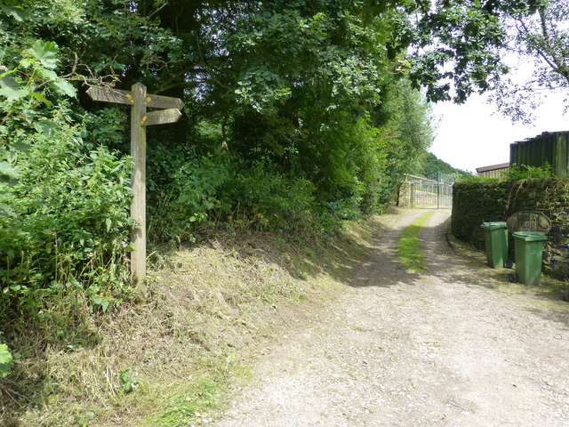
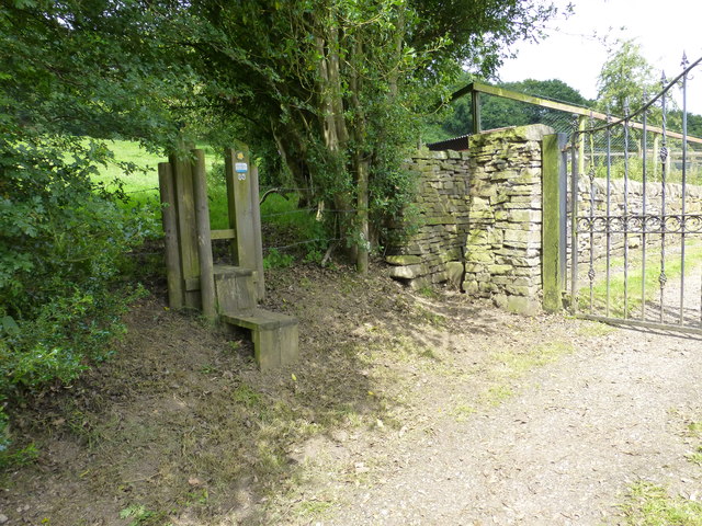
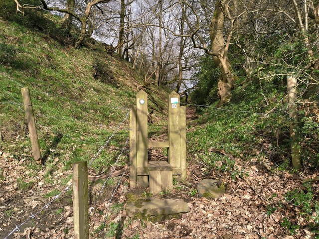
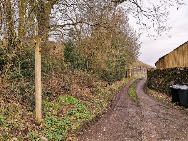
For outdoor enthusiasts, Broadbottom offers plenty of opportunities for walking and exploring the surrounding countryside. The village is located near the Longdendale Trail, a popular walking and cycling route that follows the path of the former Woodhead railway line, providing breathtaking views of the Peak District.
Overall, Broadbottom is a charming village that combines the tranquility of rural living with excellent transport links and access to stunning natural landscapes. Its friendly community, range of amenities, and proximity to the Peak District make it an attractive place to live or visit for both families and outdoor enthusiasts alike.
If you have any feedback on the listing, please let us know in the comments section below.
Broadbottom Images
Images are sourced within 2km of 53.442311/-2.015022 or Grid Reference SJ9993. Thanks to Geograph Open Source API. All images are credited.


Broadbottom is located at Grid Ref: SJ9993 (Lat: 53.442311, Lng: -2.015022)
Unitary Authority: Tameside
Police Authority: Greater Manchester
What 3 Words
///certified.earlobes.cried. Near Longdendale, Manchester
Nearby Locations
Related Wikis

Broadbottom railway station
Broadbottom railway station serves the village of Broadbottom in Greater Manchester, England. It is on the Manchester-Glossop Line, 10 miles (16 km) east...

Broadbottom
Broadbottom is a village in Tameside, Greater Manchester, England. Historically in Cheshire, it stands on the River Etherow which forms the border with...
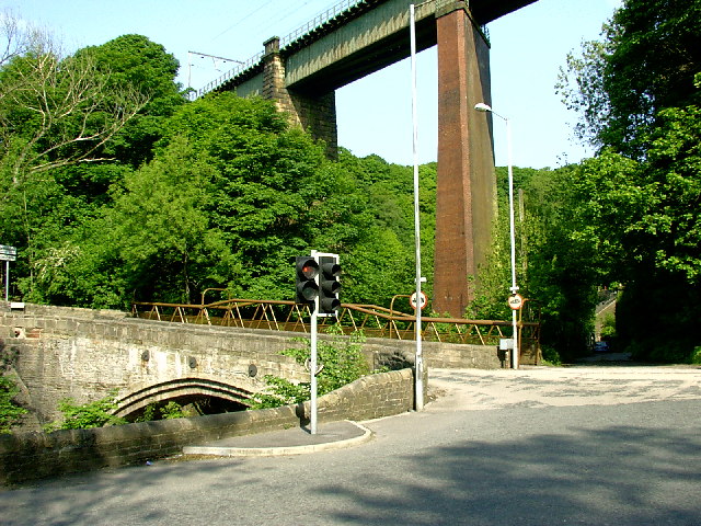
Broadbottom Viaduct
Broadbottom Viaduct (also known as Etherow or Mottram Viaduct) is a railway viaduct that spans the River Etherow between Derbyshire and Greater Manchester...

Hattersley
Hattersley is an area of Tameside, Greater Manchester, England; it is located 4 miles (6.4 km) west of Glossop and 10 miles (16 km) east of Manchester...

St Michael and All Angels Church, Mottram
St Michael and All Angels Church stands on Warhill overlooking the village of Mottram in Longdendale, Greater Manchester, England. The church is recorded...

Longendale Urban District
Longendale Urban District (also known as Longdendale Urban District) was, from 1936 to 1974, a local government district in the administrative county of...
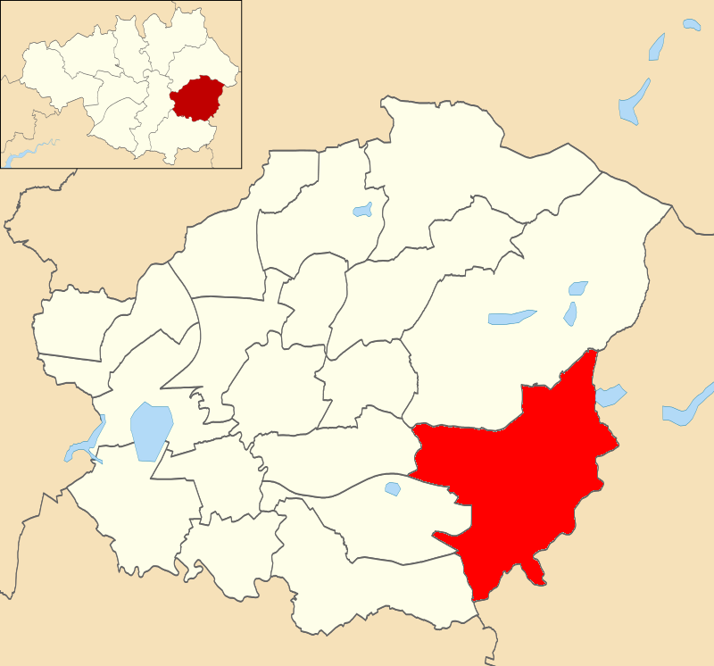
Longdendale (ward)
Longdendale is an electoral ward of Tameside, England. It is represented in Westminster by Jonathan Reynolds Labour Co-operative MP for Stalybridge and...
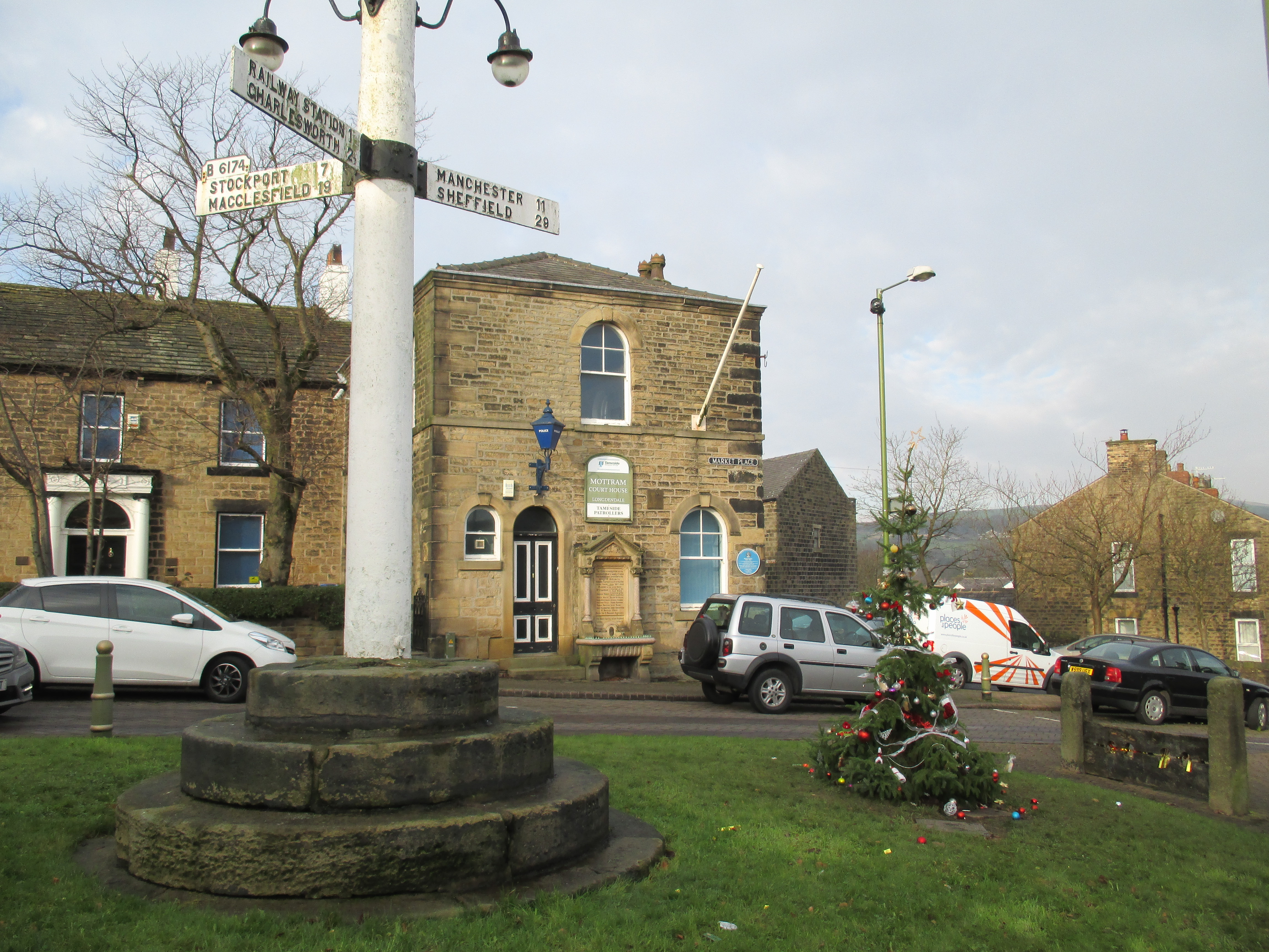
Mottram in Longdendale
Mottram in Longdendale is a village in Tameside, Greater Manchester, England. At the 2011 census, the population for the ward of Longdendale, which includes...
Nearby Amenities
Located within 500m of 53.442311,-2.015022Have you been to Broadbottom?
Leave your review of Broadbottom below (or comments, questions and feedback).