Westroyd Hill

Settlement in Yorkshire

England

Westroyd Hill

Tyersal Club, Tyersal Road, Bradford
Tyersal Club, Tyersal Road, Bradford Credit: Stephen Armstrong

Westroyd Hill is a small village located in the county of Yorkshire, in the northern part of England. Situated in the picturesque countryside, this charming village offers a peaceful and idyllic setting for its residents and visitors alike.

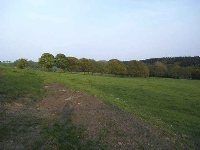
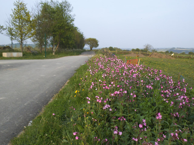
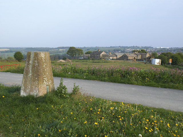
The village is known for its beautiful landscapes, with rolling hills, lush green fields, and enchanting woodlands surrounding the area. The stunning scenery provides ample opportunities for outdoor activities such as hiking, cycling, and nature walks, making it a popular destination for those seeking a tranquil retreat.

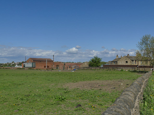
Westroyd Hill boasts a close-knit community that takes pride in its heritage and traditional values. The village is home to a range of amenities, including a local pub, a village hall, and a primary school, catering to the needs of its residents. The friendly and welcoming atmosphere adds to the charm of the village, making it an appealing place to live or visit.

With its proximity to larger towns and cities, Westroyd Hill offers the best of both worlds – a peaceful rural lifestyle combined with easy access to urban amenities. The village is conveniently located near major transport links, allowing for convenient travel to nearby towns and cities.

In summary, Westroyd Hill, Yorkshire, is a picturesque village that offers a peaceful escape from the hustle and bustle of city life. Its stunning landscapes, close-knit community, and convenient location make it an attractive place to reside or explore for those seeking a serene countryside experience.

If you have any feedback on the listing, please let us know in the comments section below.

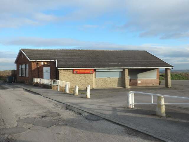
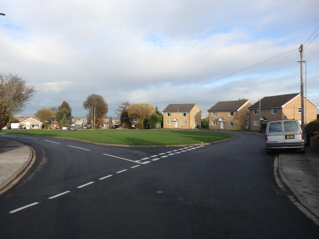
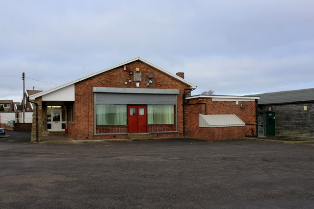
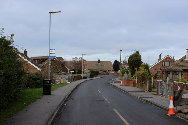
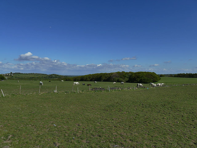
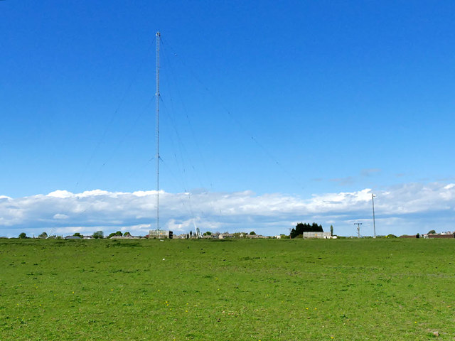
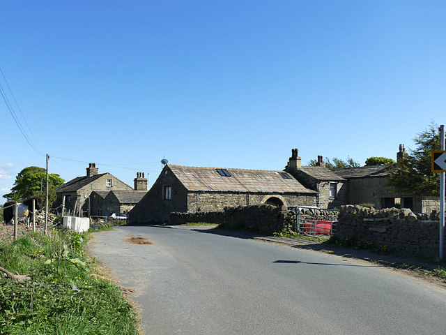
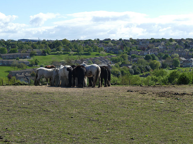
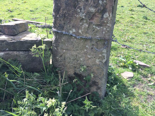
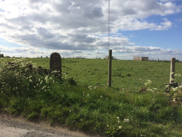
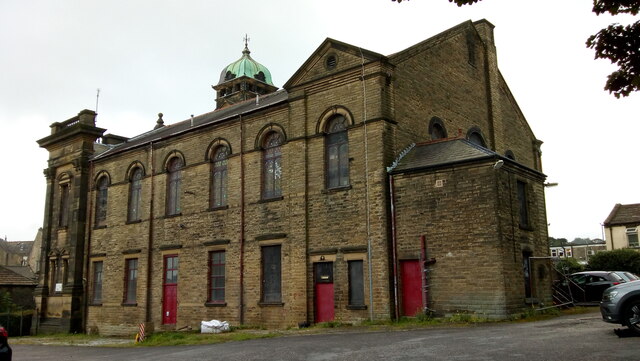
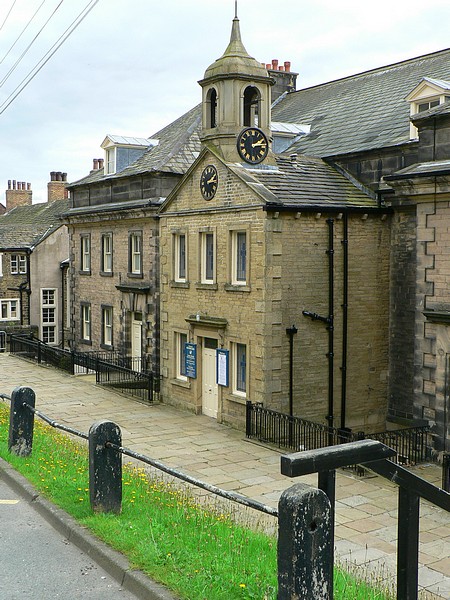
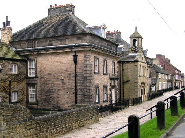
Westroyd Hill Images

Images are sourced within 2km of 53.788466/-1.675143 or Grid Reference SE2132. Thanks to Geograph Open Source API. All images are credited.

Tyersal Club, Tyersal Road, Bradford
Tyersal Crescent, Bradford
Tyersal Residents Association Community Centre Located on the eastern edge of Tyersal
Tyersal Residents Association Community Centre
Located on the eastern edge of Tyersal
Tyersal Crescent
Tyersal Crescent
Field off Ned Lane, Holmewood Compare an earlier view in 2009 <a href="https://www.geograph.org.uk/photo/1379565">SE1931 : Field off Ned Lane, Tong</a>.
Field off Ned Lane, Holmewood
Compare an earlier view in 2009 SE1931 : Field off Ned Lane, Tong.
Entrance to Black Carr Wood off Ned Lane The path from here into the woods is strictly only a public footpath but is shown on the Explorer map as a permissive cycle route.  There is an appropriate barrier (the sort intended to allow pedal cycles through but not motorcycles or other motor vehicles).

Warning to any other cyclists who venture down here: it starts off with a good macadam surface but becomes very rough through the woods and really only suitable for mountain bikes.
Entrance to Black Carr Wood off Ned Lane
The path from here into the woods is strictly only a public footpath but is shown on the Explorer map as a permissive cycle route. There is an appropriate barrier (the sort intended to allow pedal cycles through but not motorcycles or other motor vehicles). Warning to any other cyclists who venture down here: it starts off with a good macadam surface but becomes very rough through the woods and really only suitable for mountain bikes.
Start of the cycle route into Black Carr Wood  The path from here into the woods is strictly only a public footpath but is shown on the Explorer map as a permissive cycle route.  

Warning to any other cyclists who venture down here: it starts off with a good macadam surface but becomes very rough through the woods and really only suitable for mountain bikes.
Start of the cycle route into Black Carr Wood
The path from here into the woods is strictly only a public footpath but is shown on the Explorer map as a permissive cycle route. Warning to any other cyclists who venture down here: it starts off with a good macadam surface but becomes very rough through the woods and really only suitable for mountain bikes.
Trig pillar by Ned Lane The triangulation pillar has a height of about 185m. See also <a href="https://www.geograph.org.uk/photo/1379542">SE1931 : Triangulation pillar off Ned Lane, Tong</a>.
Trig pillar by Ned Lane
The triangulation pillar has a height of about 185m. See also SE1931 : Triangulation pillar off Ned Lane, Tong.
Former Phoenix Park Golf Course Grassy bank with a fox.
Former Phoenix Park Golf Course
Grassy bank with a fox.
Tyersal House Farm A stud farm (horse breeding).
Tyersal House Farm
A stud farm (horse breeding).
Horses at Tyersal House Farm Tyersal House is a stud farm.
Horses at Tyersal House Farm
Tyersal House is a stud farm.
The Tyersal Lane transmitter A medium wave radio transmitter mast on high ground south-east of Bradford.
The Tyersal Lane transmitter
A medium wave radio transmitter mast on high ground south-east of Bradford.
Holme Bank Farm, Ned Lane, Tyersal The farmstead is covered by two list entries (both grade II); the nearer group of buildings including the barn in the centre of the photo dates from the 18th century (list entry 1314515).
Holme Bank Farm, Ned Lane, Tyersal
The farmstead is covered by two list entries (both grade II); the nearer group of buildings including the barn in the centre of the photo dates from the 18th century (list entry 1314515).
Feeding time for the horses at Holme Bank Farm
Bench Mark on Gatepost Tyersal Lane Near Mast Bench mark description <span class="nowrap"><a title="https://www.bench-marks.org.uk/bm121094" rel="nofollow ugc noopener" href="https://www.bench-marks.org.uk/bm121094">Link</a><img style="margin-left:2px;" alt="External link" title="External link - shift click to open in new window" src="https://s1.geograph.org.uk/img/external.png" width="10" height="10"/></span>
Approach view <a title="https://www.geograph.org.uk/photo/6474233" href="https://www.geograph.org.uk/photo/6474233">Link</a>
Bench Mark on Gatepost Tyersal Lane Near Mast
Bench mark description LinkExternal link Approach view Link
Bench Mark on Gatepost Tyersal Lane Near Mast Approach view of bench mark. Close up view <a title="https://www.geograph.org.uk/photo/6474188" href="https://www.geograph.org.uk/photo/6474188">Link</a>
Bench mark description <span class="nowrap"><a title="https://www.bench-marks.org.uk/bm121094" rel="nofollow ugc noopener" href="https://www.bench-marks.org.uk/bm121094">Link</a><img style="margin-left:2px;" alt="External link" title="External link - shift click to open in new window" src="https://s1.geograph.org.uk/img/external.png" width="10" height="10"/></span>
Bench Mark on Gatepost Tyersal Lane Near Mast
Approach view of bench mark. Close up view Link Bench mark description LinkExternal link
View from end of Tyersal Avenue
Former Trinity Methodist Church, Pudsey A view of the east side and rear from Mount Pleasant Heights. Grade II Listed c1899.
Former Trinity Methodist Church, Pudsey
A view of the east side and rear from Mount Pleasant Heights. Grade II Listed c1899.
Show me another place!

Westroyd Hill is located at Grid Ref: SE2132 (Lat: 53.788466, Lng: -1.675143)

Division: West Riding

Unitary Authority: Leeds

Police Authority: West Yorkshire

What 3 Words

///format.oiled.pits. Near Pudsey, West Yorkshire

Related Wikis

Pudsey Greenside railway station

Pudsey Greenside railway station is a closed railway station in Pudsey in the former West Riding of Yorkshire England, located about 6 mi (10 km) west...

Fulneck Moravian Church

Fulneck Moravian Church and its associated settlement were established on the Fulneck estate, Pudsey, in the West Riding of Yorkshire, England, in 1744...

Fulneck Moravian Settlement

Fulneck Moravian Settlement is a village in Pudsey in the City of Leeds metropolitan borough, West Yorkshire, England. The village (grid reference SE225319...
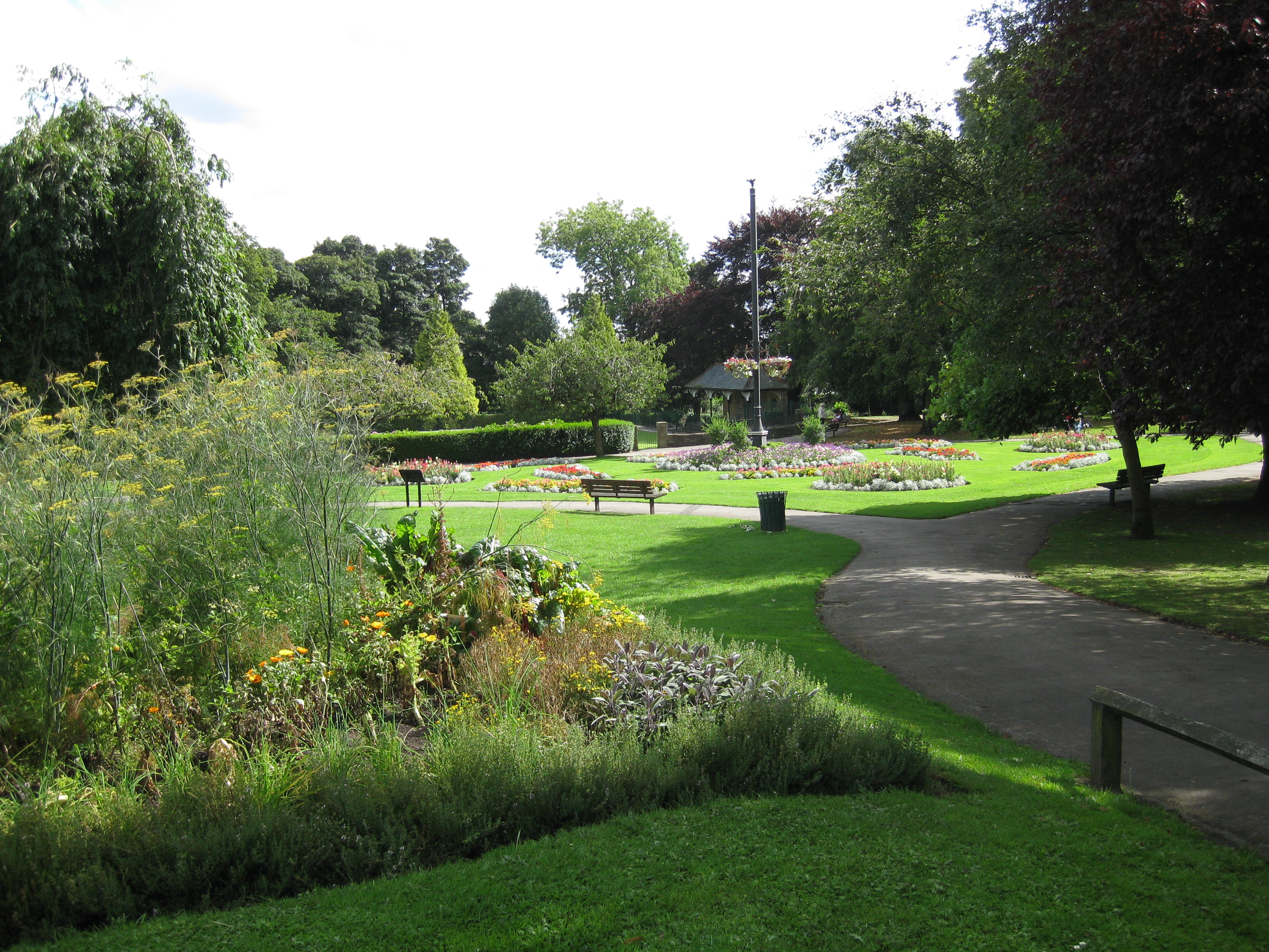
Pudsey Park

Pudsey Park is a public park in Pudsey, West Yorkshire, England, approximately 5 miles (8 km) west of Leeds city centre. The park is the second most popular...

Nearby Amenities

Located within 500m of 53.788466,-1.675143
Pudsey Greenside
Historic Railway: station
Railway: site
Wikidata: Q30622962
Wikipedia: en:Pudsey Greenside railway station
Lat/Long: 53.7899682/-1.668132
Turning Circle
Lat/Long: 53.7906249/-1.6771655
Post Box
Operator: Royal Mail
Ref: LS28 362
Lat/Long: 53.7900931/-1.6760855
Place Of Worship
Fartown Christian Fellowship
Alt Name: Struthers Memorial Church
Fixme: may have closed, see http://www.pudseyparish.org.uk/fartown/
Node Id: 441335526
Religion: christian
Lat/Long: 53.7888/-1.6687642
Turning Circle
Lat/Long: 53.7916489/-1.675672
Turning Circle
Lat/Long: 53.7911544/-1.6753721
Access: no
Barrier: bollard
Bicycle: yes
Bollard: concrete
Foot: yes
Height: 1
Horse: yes
Motor Vehicle: no
Lat/Long: 53.7915109/-1.67037
Fast Food
Grandad Nicols
Addr City: Pudsey
Addr Housenumber: 22
Addr Postcode: LS28 8PU
Addr Street: Greenside
Cuisine: fish_and_chips
Fhrs Id: 931770
Takeaway: yes
Lat/Long: 53.7912457/-1.6715811
Bus Stop
Carlisle Road Station Street
Bus: yes
Local Ref: 45012747
Naptan AtcoCode: 450012747
Naptan Bearing: S
Naptan CommonName: Carlisle Road Station Street
Naptan Crossing: Station Street
Naptan Indicator: Stop 45012747
Naptan Landmark: The Royal
Naptan PlusbusZoneRef: LEEDS
Naptan ShortCommonName: Station Street
Naptan Street: Carlisle Road
Naptan Verified: no
Public Transport: platform
Source: naptan_import
Lat/Long: 53.7900796/-1.6685279
Bus Stop
Carlisle Road Station Street
Bus: yes
Local Ref: 45012748
Naptan AtcoCode: 450012748
Naptan Bearing: N
Naptan CommonName: Carlisle Road Station Street
Naptan Crossing: Station Street
Naptan Indicator: Stop 45012748
Naptan PlusbusZoneRef: LEEDS
Naptan ShortCommonName: Station Street
Naptan Street: Carlisle Road
Naptan Verified: no
Public Transport: platform
Source: naptan_import
Lat/Long: 53.7896574/-1.6686072
Bus Stop
Pudsey Station Street
Bus: yes
Local Ref: 45012751
Naptan AtcoCode: 450012751
Naptan Bearing: W
Naptan CommonName: Pudsey Station Street
Naptan Crossing: Carlisle Road
Naptan Indicator: Stop 45012751
Naptan Landmark: Royal PH
Naptan PlusbusZoneRef: LEEDS
Naptan ShortCommonName: Carlisle Road
Naptan Street: Station Street
Naptan Verified: no
Public Transport: platform
Source: naptan_import
Lat/Long: 53.7899916/-1.6692117
Bus Stop
Chapeltown Greenside
Bench: no
Bus: yes
Local Ref: 45012275
Naptan AtcoCode: 450012275
Naptan Bearing: W
Naptan CommonName: Chapeltown Greenside
Naptan Crossing: Greenside
Naptan Indicator: Stop 45012275
Naptan Landmark: Commercial PH
Naptan PlusbusZoneRef: LEEDS
Naptan ShortCommonName: Greenside
Naptan Street: Chapeltown
Naptan Verified: no
Public Transport: platform
Shelter: no
Source: naptan_import
Lat/Long: 53.792182/-1.6714715
Bus Stop
Chapeltown
Bench: yes
Bin: no
Bus: yes
Local Ref: 45012276
Naptan AtcoCode: 450012276
Naptan Bearing: E
Naptan CommonName: Chapeltown
Naptan Crossing: Greenside
Naptan Indicator: Stop 45012276
Naptan PlusbusZoneRef: LEEDS
Naptan ShortCommonName: Greenside
Naptan Street: Chapeltown
Naptan Verified: no
Public Transport: platform
Shelter: yes
Source: naptan_import
Tactile Paving: no
Lat/Long: 53.7923165/-1.6713642
Bus Stop
Fartown Bankhouse Lane
Bus: yes
Local Ref: 45012223
Naptan AtcoCode: 450012223
Naptan Bearing: SE
Naptan CommonName: Fartown Bankhouse Lane
Naptan Crossing: Bankhouse Lane
Naptan Indicator: Stop 45012223
Naptan Landmark: The White Cross PH
Naptan PlusbusZoneRef: LEEDS
Naptan ShortCommonName: Bankhouse Lane
Naptan Street: Fartown
Naptan Verified: no
Public Transport: platform
Source: naptan_import
Lat/Long: 53.7890514/-1.6705093
Bus Stop
Greenside Smalewell Green
Bus: yes
Local Ref: 45012224
Naptan AtcoCode: 450012224
Naptan Bearing: N
Naptan CommonName: Greenside Smalewell Green
Naptan Crossing: Smalewell Green
Naptan Indicator: Stop 45012224
Naptan Landmark: White Cross PH
Naptan PlusbusZoneRef: LEEDS
Naptan ShortCommonName: Smalewell Green
Naptan Street: Greenside
Naptan Verified: no
Public Transport: platform
Source: naptan_import
Lat/Long: 53.7894396/-1.6711286
Bus Stop
Greenside Commercial Villas
Bus: yes
Local Ref: 45012225
Naptan AtcoCode: 450012225
Naptan Bearing: N
Naptan CommonName: Greenside Commercial Villas
Naptan Crossing: Moorfield Gardens
Naptan Indicator: Stop 45012225
Naptan Landmark: Kings Arms PH
Naptan PlusbusZoneRef: LEEDS
Naptan ShortCommonName: Commercial Villas
Naptan Street: Greenside
Naptan Verified: no
Public Transport: platform
Source: naptan_import
Lat/Long: 53.7918328/-1.6719752
Bus Stop
Greenside Melrose Place
Bus: yes
Local Ref: 45012226
Naptan AtcoCode: 450012226
Naptan Bearing: S
Naptan CommonName: Greenside Melrose Place
Naptan Crossing: Melrose Place
Naptan Indicator: Stop 45012226
Naptan Landmark: Kings Arm PH
Naptan PlusbusZoneRef: LEEDS
Naptan ShortCommonName: Melrose Place
Naptan Street: Greenside
Naptan Verified: no
Public Transport: platform
Source: naptan_import
Lat/Long: 53.7917784/-1.6718086
Addr City: Pudsey
Addr Housenumber: 44
Addr Postcode: LS28 8BL
Addr Street: Chapeltown
Lat/Long: 53.7921782/-1.671212
Defibrillator
Defibrillator Location: External wall to left of entrance on Station Street
Emergency: defibrillator
Lat/Long: 53.7901128/-1.6691172
Waste Basket
Collection Times: Fr
Condition: GOOD
Ref UK Leedscc Bin: 615
Waste Basket Model: METAL SQUARE
Lat/Long: 53.792182/-1.671102
Waste Basket
Collection Times: Fr
Ref UK Leedscc Bin: 616
Lat/Long: 53.792365/-1.671543
Waste Basket
Collection Times: weekly
Condition: GOOD
Ref UK Leedscc Bin: 5061
Waste Basket Model: METAL SQUARE
Lat/Long: 53.784303/-1.672553
Defibrillator
Access: code
Defibrillator Location: On exterior wall of pub
Emergency: defibrillator
Opening Hours: 24/7
Operator: Yorkshire Ambulance Service NHS Trust
Ref: WCPAD299
Lat/Long: 53.7905194/-1.6778609
Barrier: bollard
Bicycle: yes
Foot: yes
Horse: yes
Lat/Long: 53.7903592/-1.6777311
The data included in this document is from www.openstreetmap.org. The data is made available under ODbL.

Have you been to Westroyd Hill?

Leave your review of Westroyd Hill below (or comments, questions and feedback).