Cutties Hill
Hill, Mountain in Kincardineshire
Scotland
Cutties Hill

Cutties Hill is a prominent hill located in Kincardineshire, Scotland. Situated in the eastern part of the region, it forms part of the picturesque landscape of the area. With an elevation of approximately 277 meters (909 feet), it is not considered a mountain but rather a hill.
The hill is characterized by its distinctive rounded shape and is covered in heather, grass, and scattered trees. It offers stunning panoramic views of the surrounding countryside, including the nearby North Sea coastline, which adds to its appeal for nature lovers and avid hikers.
The ascent to the top of Cutties Hill is relatively moderate, making it accessible to both experienced and novice hikers. The well-defined paths and trails that traverse the hill make it easy to navigate and explore the area. It is a popular destination for outdoor enthusiasts, providing ample opportunities for walking, hiking, and even picnicking.
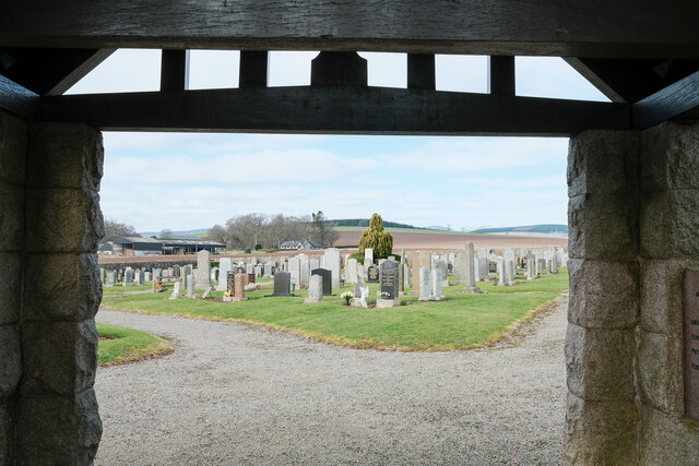
Cutties Hill is also known for its historical significance. It is believed to have been inhabited in the prehistoric era, as evidenced by the presence of ancient settlements and burial sites in the vicinity. The hill has played a role in local folklore and legends, adding to its allure and mystique.
Overall, Cutties Hill is a beautiful natural feature of Kincardineshire, offering breathtaking views, recreational activities, and a glimpse into the region's rich history. Whether it is for a leisurely stroll or a challenging hike, the hill provides an enjoyable experience for visitors of all ages.
If you have any feedback on the listing, please let us know in the comments section below.
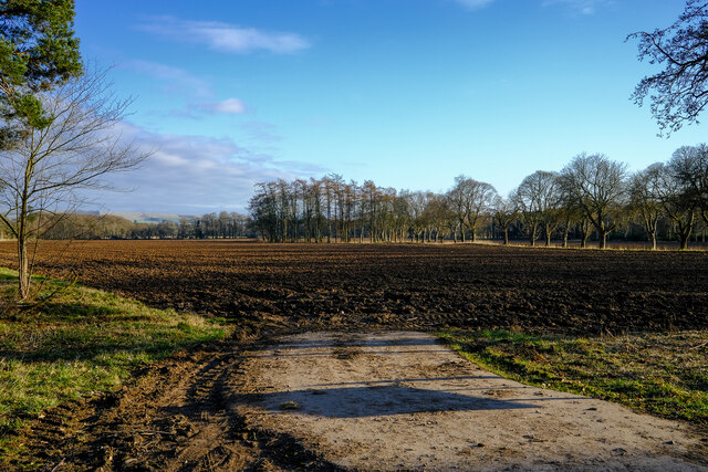
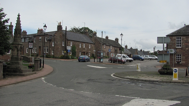
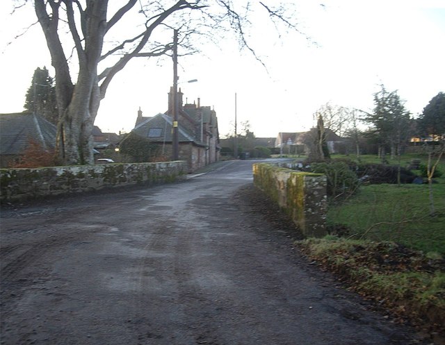
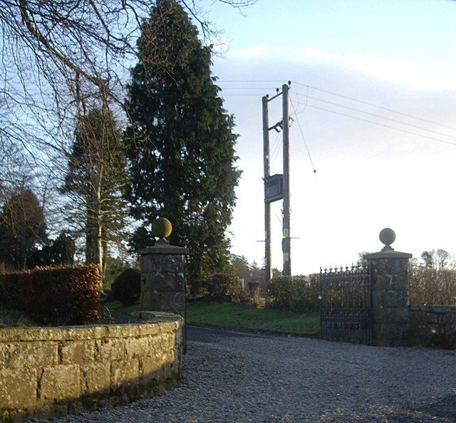
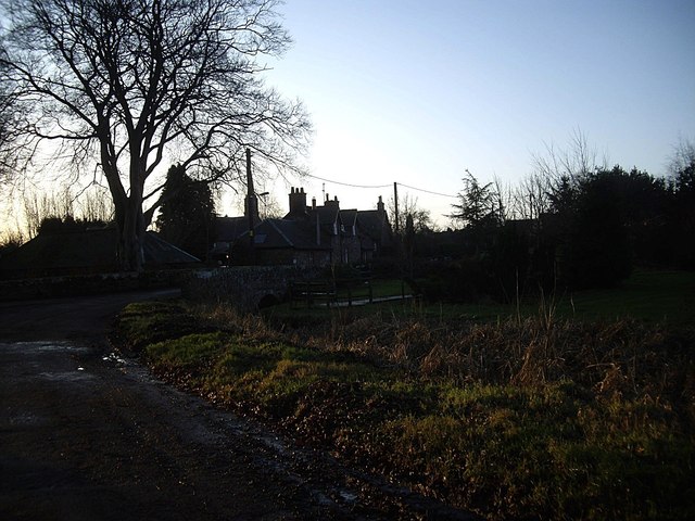
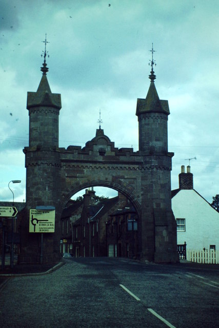
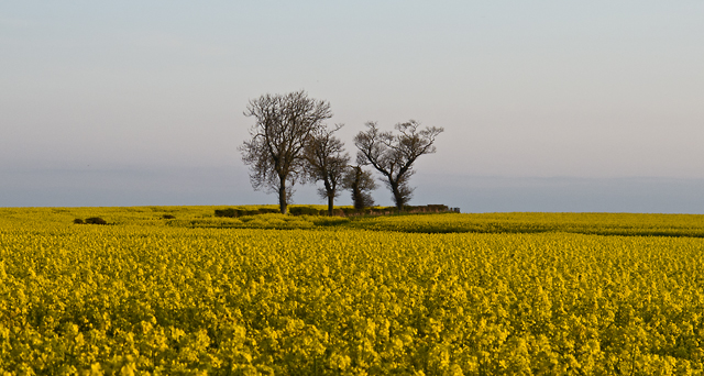
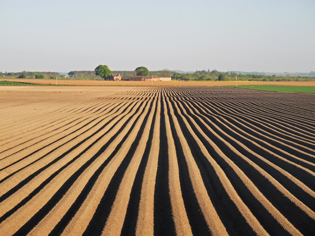
Cutties Hill Images
Images are sourced within 2km of 56.848056/-2.5527324 or Grid Reference NO6673. Thanks to Geograph Open Source API. All images are credited.


Cutties Hill is located at Grid Ref: NO6673 (Lat: 56.848056, Lng: -2.5527324)
Unitary Authority: Aberdeenshire
Police Authority: North East
What 3 Words
///additives.lends.unstated. Near Laurencekirk, Aberdeenshire
Nearby Locations
Related Wikis

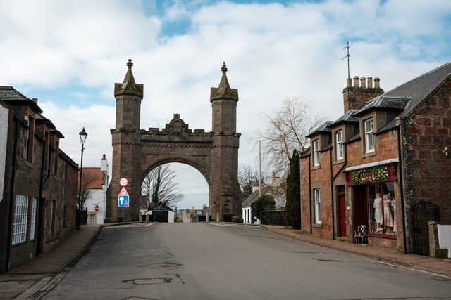
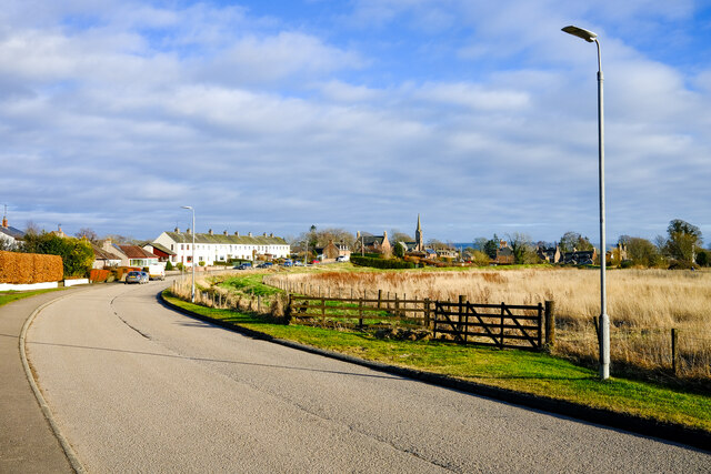
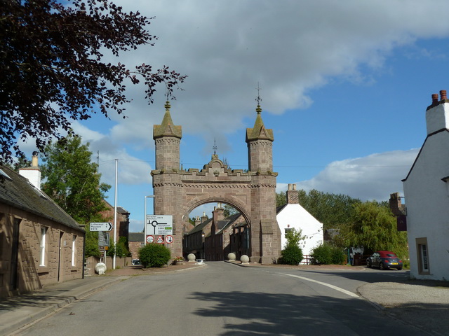
Fettercairn
Fettercairn (, Scottish Gaelic: Fothair Chàrdain) is a small village in Aberdeenshire, Scotland, northwest of Laurencekirk in Aberdeenshire on the B966...

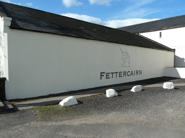
Fettercairn distillery
Fettercairn distillery is a whisky distillery in Fettercairn. Situated under the Grampian foothills in the Howe of Mearns, Fettercairn town’s name is...

Kincardine, Aberdeenshire
Kincardine was a burgh in Scotland, near the present-day village of Fettercairn. It served as the first county town of Kincardineshire. The settlement...

Thornton Castle, Marykirk
Thornton Castle, Marykirk, Aberdeenshire is a fortress or fortified residence in Marykirk, Aberdeenshire. Parts of the house date from 1531.It was the...
Nearby Amenities
Located within 500m of 56.848056,-2.5527324Have you been to Cutties Hill?
Leave your review of Cutties Hill below (or comments, questions and feedback).