Bog Plantation
Wood, Forest in Kincardineshire
Scotland
Bog Plantation
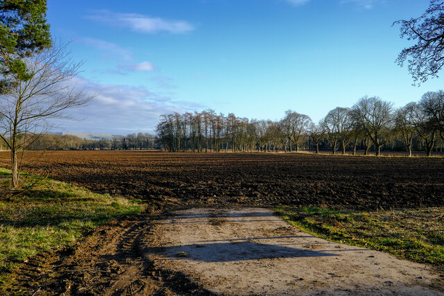
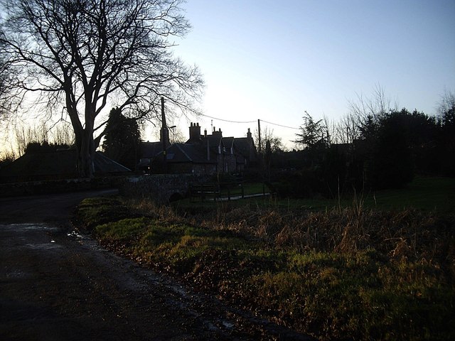
Bog Plantation, located in Kincardineshire, Scotland, is a sprawling wood and forest area that covers a vast expanse of approximately 500 acres. Situated in the northeastern part of the country, it is known for its diverse ecosystem and natural beauty.
The plantation predominantly consists of wetlands and peat bogs, which provide a unique habitat for a wide variety of flora and fauna. The wetlands are home to several species of water-loving plants such as reeds, sedges, and rushes, while the bogs are characterized by the presence of sphagnum moss and bog cotton. These wetland areas attract a plethora of bird species, including ducks, swans, herons, and raptors, making it a haven for birdwatching enthusiasts.
The forested areas of Bog Plantation are primarily composed of native tree species such as Scots pine, birch, and oak. The woodland provides a rich habitat for various mammals, including red squirrels, foxes, and deer. The dense canopy and undergrowth also support a diverse range of smaller creatures, such as insects, amphibians, and reptiles.
Bog Plantation offers a network of well-maintained trails, allowing visitors to explore the natural wonders of the area. These paths wind through the wetlands, offering glimpses of the area's unique plant life and providing opportunities for birdwatching. The forest trails meander through the woodland, offering peaceful walks among the towering trees and the chance to spot some of the resident wildlife.
Overall, Bog Plantation in Kincardineshire is a captivating destination for nature lovers and outdoor enthusiasts, offering a remarkable blend of wetlands, bogs, and woodland. Its unique ecosystem and picturesque landscapes make it an ideal location for nature walks, birdwatching, and immersing oneself in the beauty of Scotland's natural heritage.
If you have any feedback on the listing, please let us know in the comments section below.
Bog Plantation Images
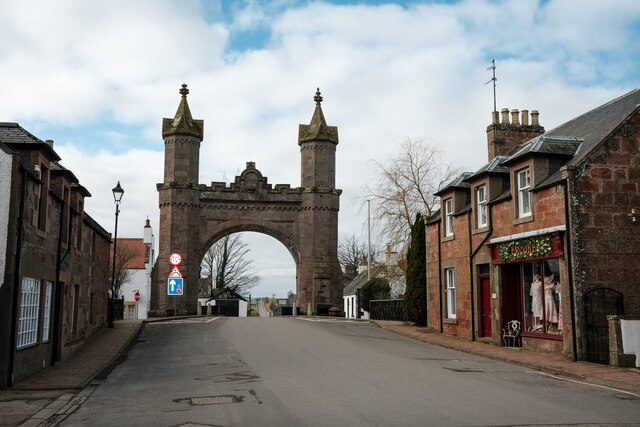
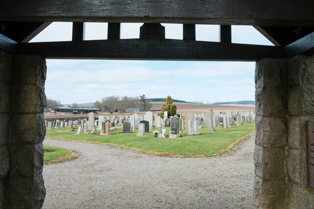
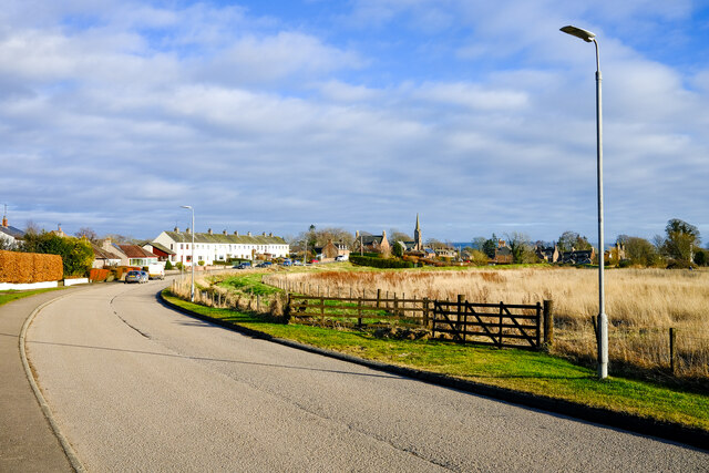
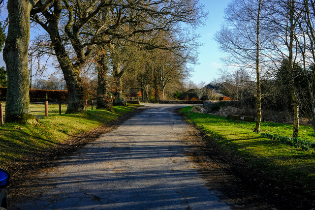
Images are sourced within 2km of 56.849549/-2.5544268 or Grid Reference NO6673. Thanks to Geograph Open Source API. All images are credited.

Bog Plantation is located at Grid Ref: NO6673 (Lat: 56.849549, Lng: -2.5544268)
Unitary Authority: Aberdeenshire
Police Authority: North East
What 3 Words
///files.plank.steadier. Near Laurencekirk, Aberdeenshire
Nearby Locations
Related Wikis

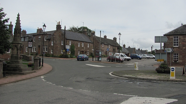
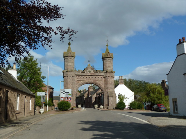
Fettercairn
Fettercairn (, Scottish Gaelic: Fothair Chàrdain) is a small village in Aberdeenshire, Scotland, northwest of Laurencekirk in Aberdeenshire on the B966...

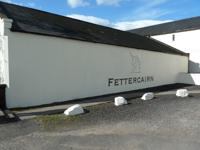
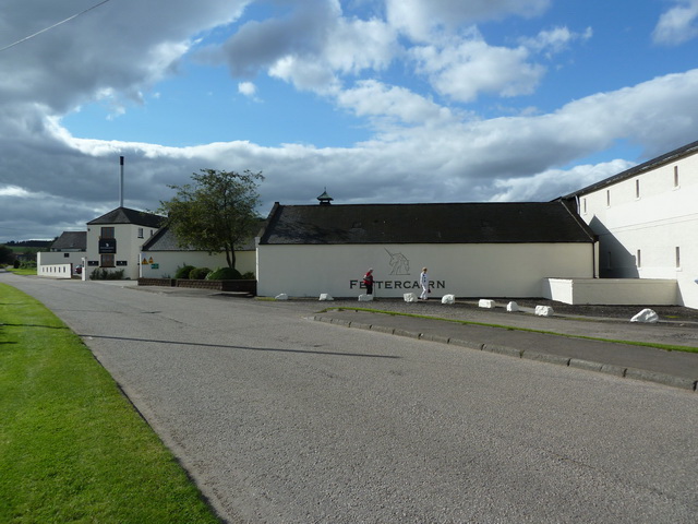
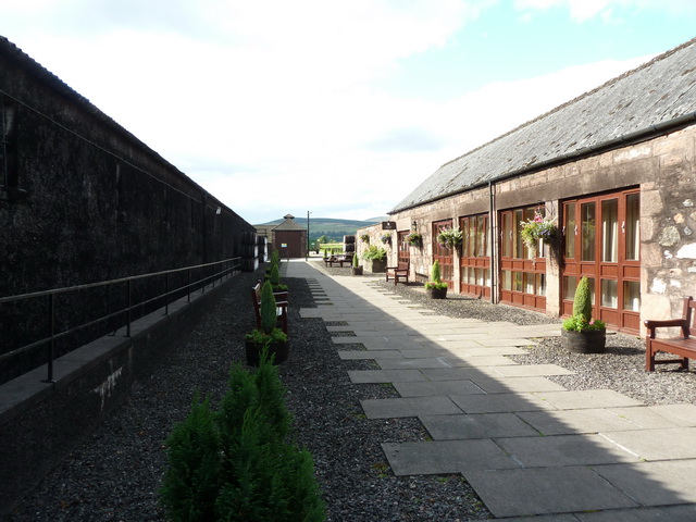
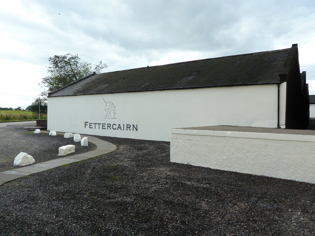
Fettercairn distillery
Fettercairn distillery is a whisky distillery in Fettercairn. Situated under the Grampian foothills in the Howe of Mearns, Fettercairn town’s name is...

Kincardine, Aberdeenshire
Kincardine was a burgh in Scotland, near the present-day village of Fettercairn. It served as the first county town of Kincardineshire. The settlement...

Fasque House
Fasque, also known as Fasque House or Fasque Castle, is a mansion in Aberdeenshire, Scotland, situated near the village of Fettercairn, in the former county...
Nearby Amenities
Located within 500m of 56.849549,-2.5544268Have you been to Bog Plantation?
Leave your review of Bog Plantation below (or comments, questions and feedback).