Bog Wood
Wood, Forest in Berwickshire
Scotland
Bog Wood
The requested URL returned error: 429 Too Many Requests
If you have any feedback on the listing, please let us know in the comments section below.
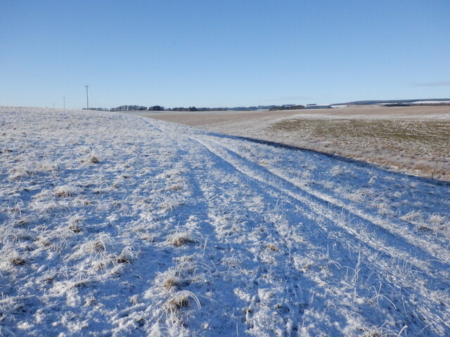
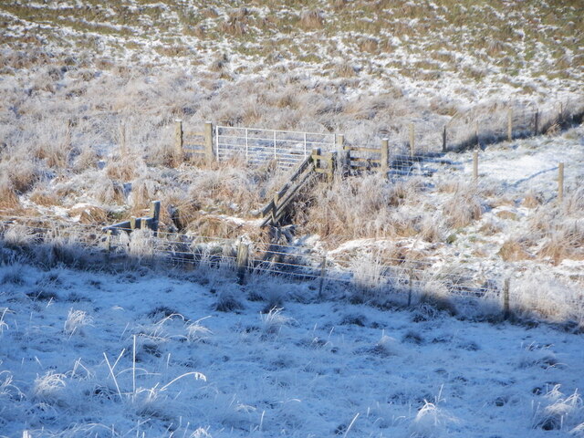
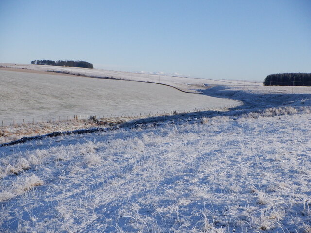
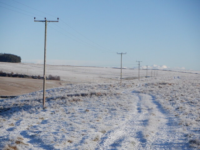
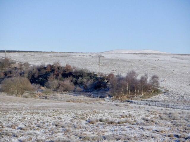
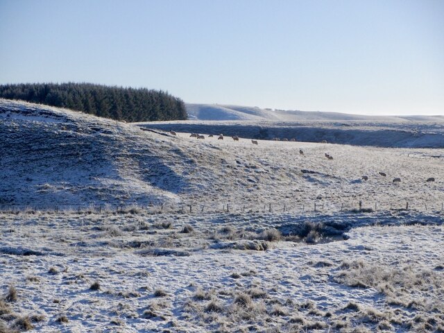
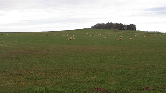
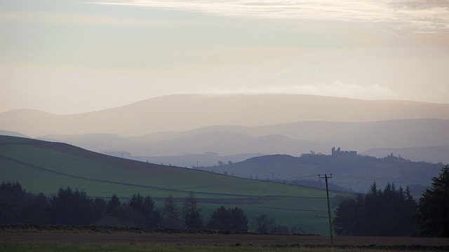
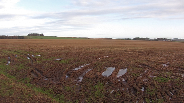
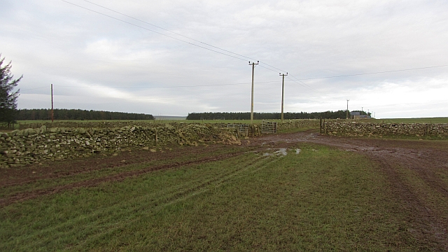
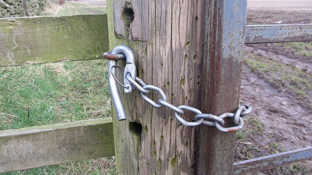
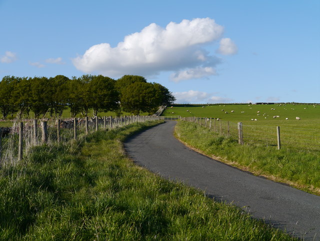
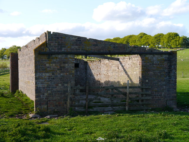
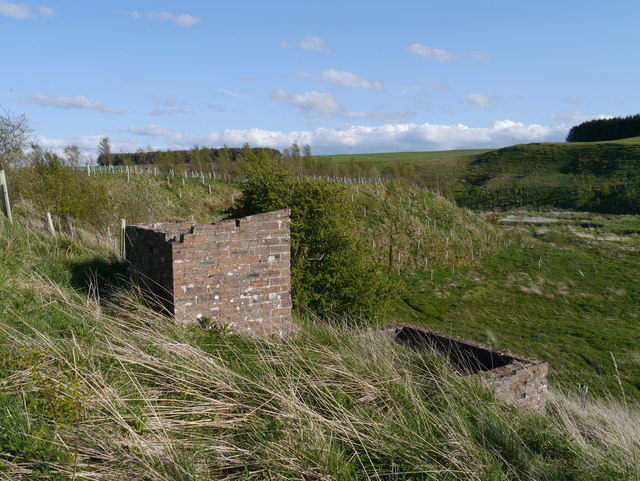
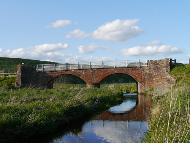
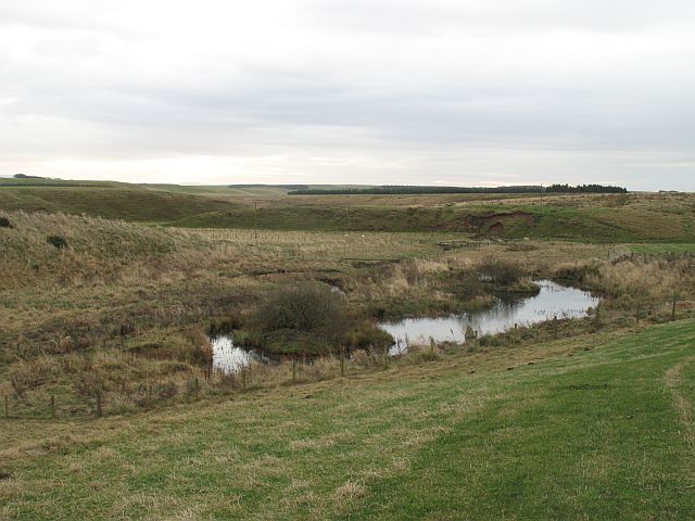
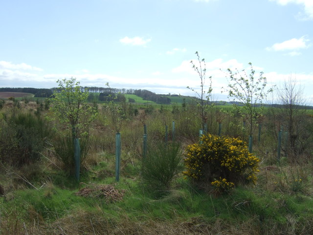
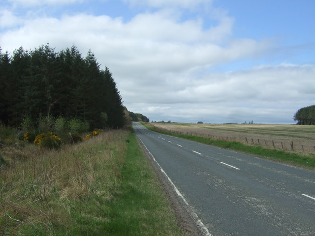
Bog Wood Images
Images are sourced within 2km of 55.727798/-2.5426048 or Grid Reference NT6648. Thanks to Geograph Open Source API. All images are credited.
Bog Wood is located at Grid Ref: NT6648 (Lat: 55.727798, Lng: -2.5426048)
Unitary Authority: The Scottish Borders
Police Authority: The Lothians and Scottish Borders
What 3 Words
///skinning.online.king. Near Earlston, Scottish Borders
Nearby Locations
Related Wikis

Houndslow
Houndslow is a hamlet in the Scottish Borders area of Scotland. It is situated on the A697, about 5 miles (8.0 km) west of Greenlaw, and 3 miles (4.8 km...

Blackadder Water
Blackadder Water () is a river in Berwickshire in the Scottish Borders area of Scotland, forming part of the River Tweed system. It reached 2.84m at Mouthbridge...

Westruther
Westruther is a village on the B6465, in the Scottish Borders area of Scotland, on the lower slopes of the Lammermuir Hills, in the former Berwickshire...

Greenlaw Moor
Greenlaw Moor is an area of raised heather moorland in the foothills of the Lammermuir Hills, in the Scottish Borders area of Scotland. Located north of...
Nearby Amenities
Located within 500m of 55.727798,-2.5426048Have you been to Bog Wood?
Leave your review of Bog Wood below (or comments, questions and feedback).