Allergrain Wood
Wood, Forest in Berwickshire
Scotland
Allergrain Wood
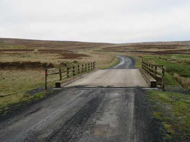
Allergrain Wood is a beautiful forest located in Berwickshire, Scotland. It covers an area of approximately 100 acres and is home to a diverse range of flora and fauna. The wood is primarily composed of native broadleaf trees such as oak, beech, and birch, along with some coniferous species like Scots pine.
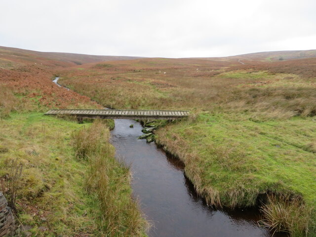
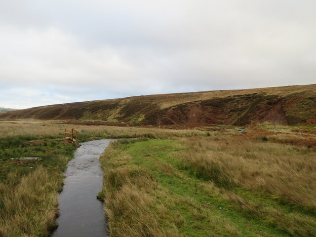
Visitors to Allergrain Wood can enjoy a variety of recreational activities such as walking, hiking, birdwatching, and nature photography. There are several well-maintained trails that wind through the forest, providing opportunities to explore its natural beauty and wildlife.
The wood is also rich in history, with evidence of ancient settlements and farming practices dating back centuries. Archaeological sites within the forest offer a glimpse into the past, adding to the sense of wonder and intrigue for visitors.
Overall, Allergrain Wood is a peaceful and picturesque destination for nature lovers and outdoor enthusiasts alike. Its tranquil atmosphere and stunning scenery make it a popular spot for locals and tourists looking to escape the hustle and bustle of everyday life and reconnect with the natural world.
If you have any feedback on the listing, please let us know in the comments section below.
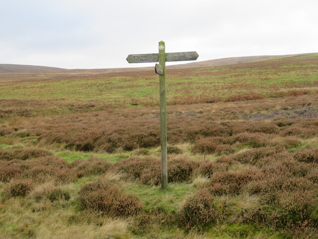
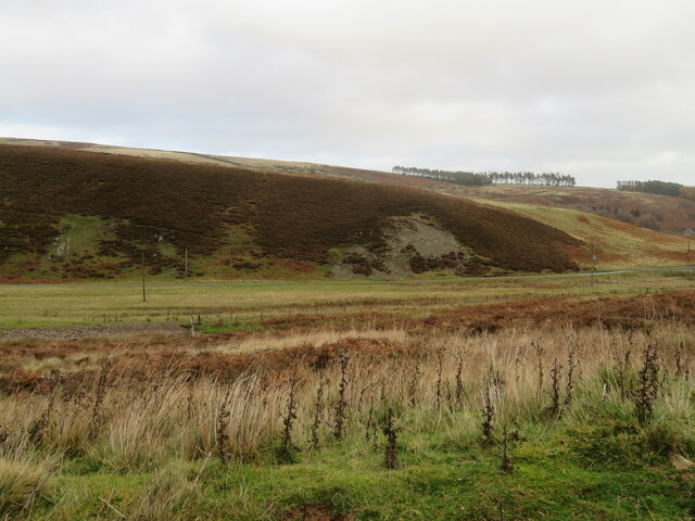
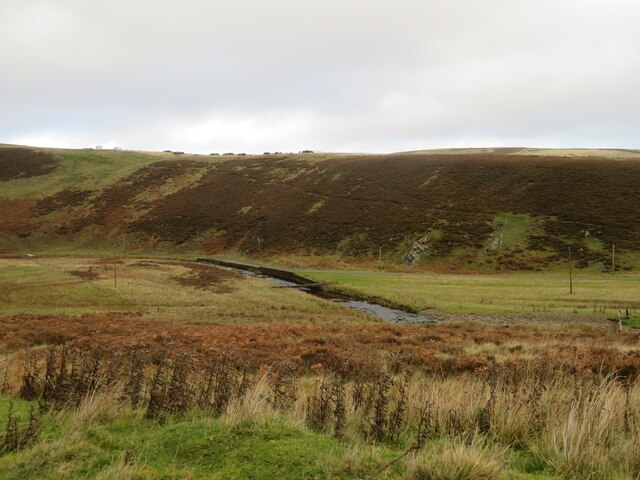
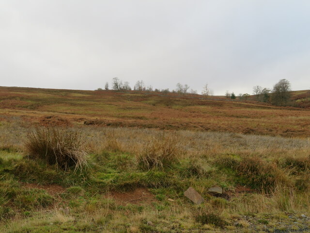
Allergrain Wood Images
Images are sourced within 2km of 55.806587/-2.5431742 or Grid Reference NT6657. Thanks to Geograph Open Source API. All images are credited.
![Woodland at Scarlaw Looking east from the Fallago Rig Wind Farm access road, east of Twinlaw. Watch Water Reservoir can be seen through the trees, and the hill in the right distance is Dirrington Great Law [5.3km].](https://s3.geograph.org.uk/geophotos/07/33/96/7339667_357c3e96.jpg)
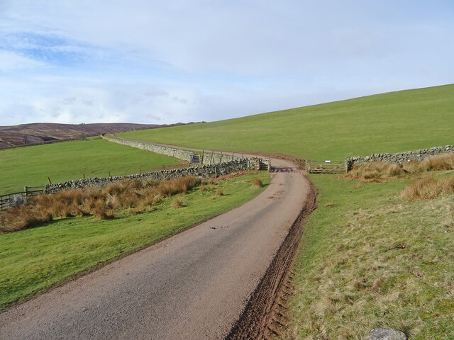
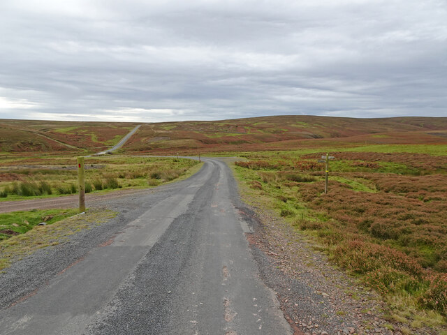
![The Fallago Rig Wind Farm access road Heading north over the Lammermuir hills just over 320m [&gt;1000feet]. Not the shortest route from &#039;civilization&#039; but much better for the local communities.](https://s1.geograph.org.uk/geophotos/07/33/96/7339677_5b1e5c1e.jpg)
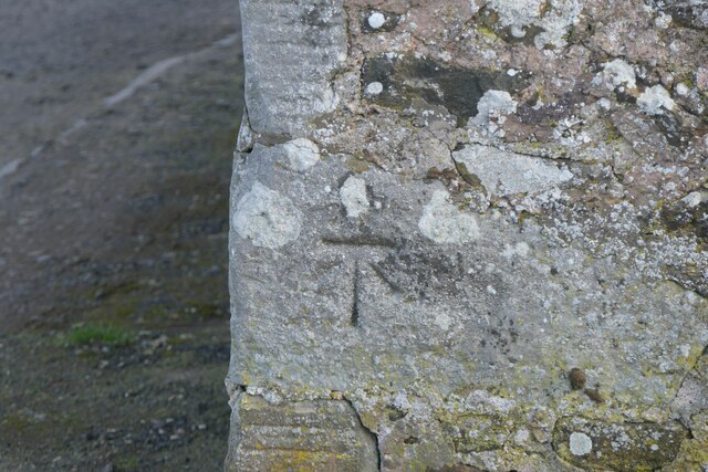
![Memorial [?] pillar on Dunside Hill Just off the Fallago Rig Wind Farm access road at the col between Dunside Hill and Scar Law. Inscribed J.O.H. 1994, but I have yet to find anything more about it.](https://s2.geograph.org.uk/geophotos/07/34/05/7340550_67e7e0d8.jpg)
Allergrain Wood is located at Grid Ref: NT6657 (Lat: 55.806587, Lng: -2.5431742)
Unitary Authority: The Scottish Borders
Police Authority: The Lothians and Scottish Borders
What 3 Words
///beaten.exposes.submerged. Near Duns, Scottish Borders
Nearby Locations
Related Wikis

Watch Water
The Watch Water is a river in the Scottish Borders area of Scotland. It rises in the Lammermuir Hills, around 8 kilometres (5.0 mi) west of Longformacus...

Longformacus
Longformacus (Scottish Gaelic: Longphort Mhacais) is a small village in Berwickshire in the Scottish Borders area of Scotland. It is around 10 kilometres...

Longformacus House
Longformacus House is a mansion near the village of Longformacus, Scottish Borders, Scotland. == History == The estate was once owned by the Earls of...

Mutiny Stones
The Mutiny Stones are a megalithic monument in the Lammermuir Hills, Scotland.Situated on Byrecleugh Rig, the nearest centre of habitation is at Longformacus...
Nearby Amenities
Located within 500m of 55.806587,-2.5431742Have you been to Allergrain Wood?
Leave your review of Allergrain Wood below (or comments, questions and feedback).