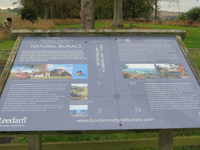
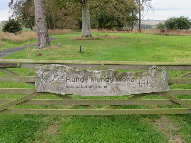
Hundy Mundy Wood

Wood, Forest in Berwickshire

Scotland

Hundy Mundy Wood

Approaching Smailholm village From Over Town and Sandyknowe.
Approaching Smailholm village Credit: Russel Wills

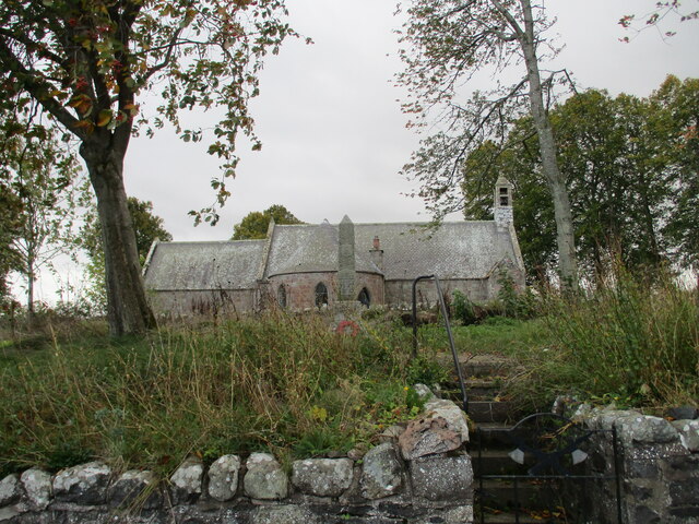
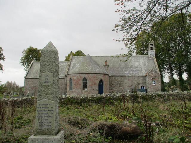
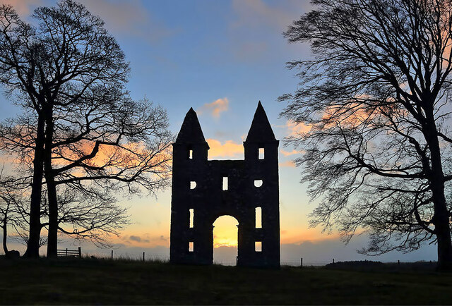
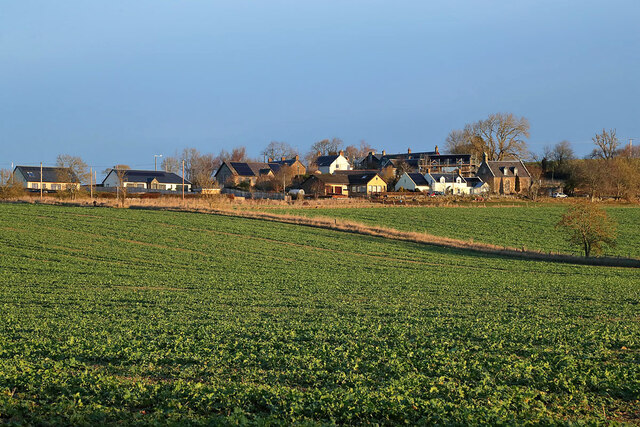
Hundy Mundy Wood is a picturesque forest located in Berwickshire, Scotland. Covering an area of approximately 100 hectares, the wood is nestled within the breathtaking Scottish Borders countryside. It is a popular destination for nature enthusiasts, hikers, and birdwatchers due to its diverse flora and fauna.

The woodland is predominantly composed of native broadleaf trees, including oak, ash, birch, and beech. These trees provide a rich habitat for a wide variety of wildlife, such as red squirrels, roe deer, and numerous species of birds. Birdwatchers can spot woodpeckers, tits, and finches, among others, which make the woodland their home.

Hundy Mundy Wood offers several walking trails, ranging from short, leisurely strolls to longer, more challenging hikes. The paths wind through the forest, offering visitors the opportunity to immerse themselves in the tranquility of nature. The wood also features a picnic area, allowing visitors to relax and enjoy the peaceful surroundings.

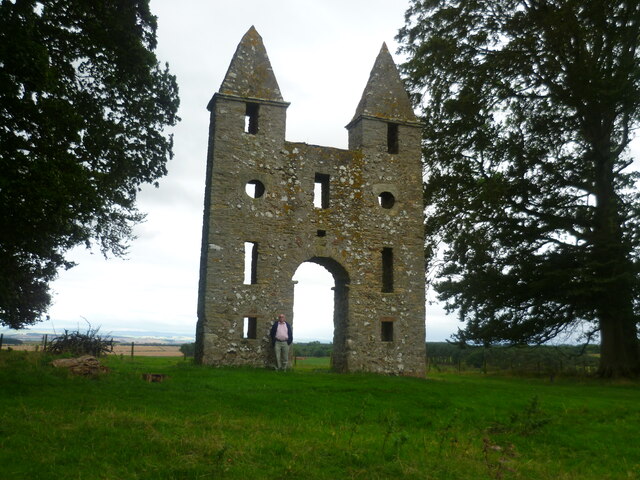
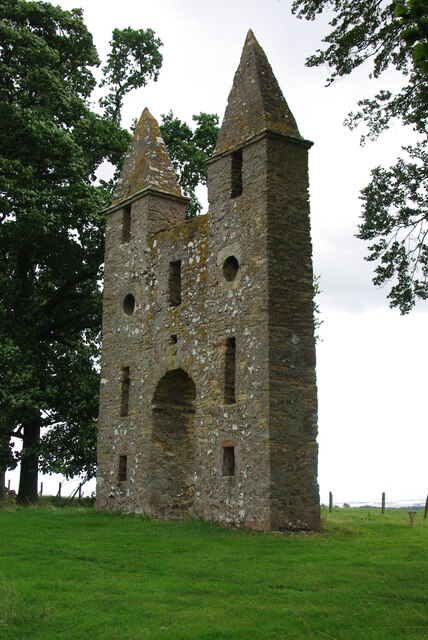
The woodland has a rich history, dating back centuries. It is believed to have been used as a hunting ground by nobles and landowners in medieval times. The name "Hundy Mundy" is thought to be derived from the Old English words "hund" meaning "hound" and "munde" meaning "protection," suggesting its past connection to hunting activities.

Overall, Hundy Mundy Wood is a beautiful and well-preserved forest, offering visitors a chance to reconnect with nature and explore the rich natural and cultural heritage of Berwickshire.

If you have any feedback on the listing, please let us know in the comments section below.

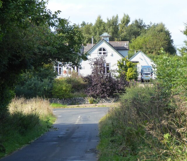
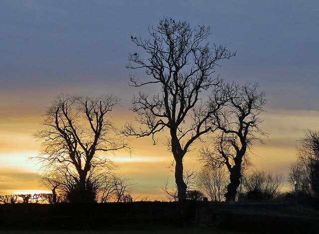
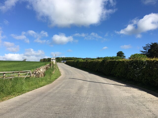
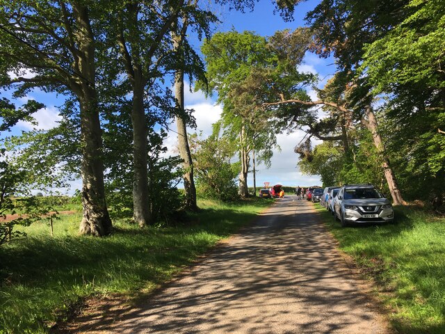
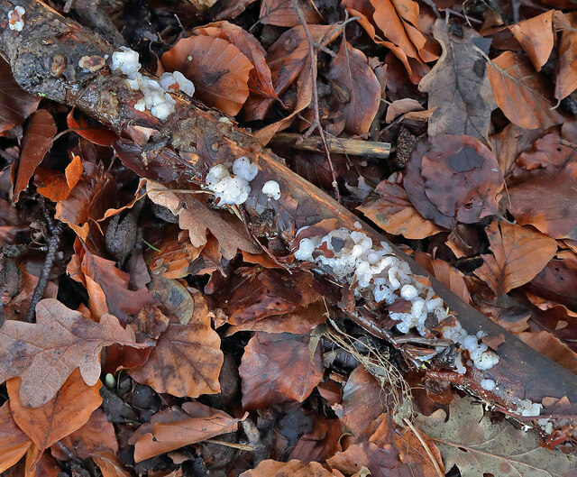
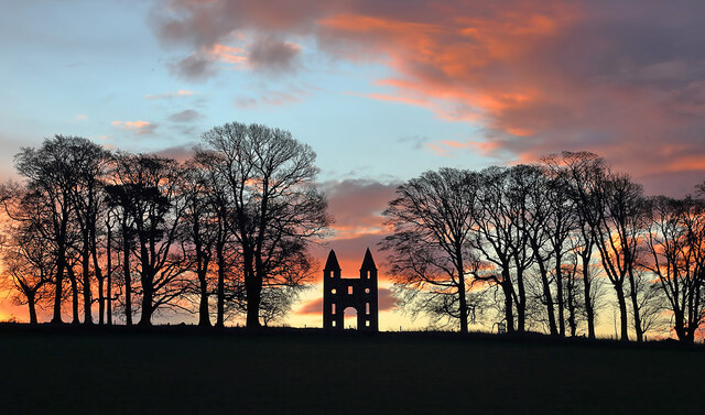
Hundy Mundy Wood Images

Images are sourced within 2km of 55.63108/-2.5406792 or Grid Reference NT6637. Thanks to Geograph Open Source API. All images are credited.

Approaching Smailholm village From Over Town and Sandyknowe.
Approaching Smailholm village
From Over Town and Sandyknowe.
Winter trees at Smailholm The trees by the B6397 on the southeast side of Smailholm village were viewed from a field boundary.
Winter trees at Smailholm
The trees by the B6397 on the southeast side of Smailholm village were viewed from a field boundary.
Blinkbonny farm and quarry access road
Minor road near Mellerstain Mill
Mellerstain House The south facade
Mellerstain House
The south facade
Hundy Mundy The north facade of the eye-catcher for Mellerstain House
Hundy Mundy
The north facade of the eye-catcher for Mellerstain House
Hundy Mundy The eye-catcher for Mellerstain House
Hundy Mundy
The eye-catcher for Mellerstain House
Hundy Mundy Wood The entrance to the natural burial ground near Mellerstain, with an updated information board. For an earlier version see <a href="https://www.geograph.org.uk/photo/2662344">NT6637 : Hundy Mundy Wood information</a>.
Hundy Mundy Wood
The entrance to the natural burial ground near Mellerstain, with an updated information board. For an earlier version see NT6637 : Hundy Mundy Wood information.
Hundy Mundy Wood Burial Ground The entrance to the natural burial site, in a woodland on the Mellerstain Estate.
Hundy Mundy Wood Burial Ground
The entrance to the natural burial site, in a woodland on the Mellerstain Estate.
Old milepost Mileposts 3 and 4 miles from Kelso are lost but the 5 mile post is another that was dug out and repainted in 2021.   This area was in Berwickshire prior to the 1970s.  Now Borders.
Old milepost
Mileposts 3 and 4 miles from Kelso are lost but the 5 mile post is another that was dug out and repainted in 2021. This area was in Berwickshire prior to the 1970s. Now Borders.
Old milepost Looking northwestwards along the A6089 the milepost can be found underneath the power lines.
Old milepost
Looking northwestwards along the A6089 the milepost can be found underneath the power lines.
Old milestone & old milepost In Smailholm on the B5397 opposite the church and next to the bus-stop the two milemarkers are almost hidden by the rose bush and other plants on the verge.   A faint KELSO/6 can be made out on the left face of the stone with AUDER/11 on the right.  The L is missing probably lost when damage was sustained to the front edge.  This is the only stone known to survive on this route. This area of Borders was in Berwickshire prior to the 1970s.
Old milestone & old milepost
In Smailholm on the B5397 opposite the church and next to the bus-stop the two milemarkers are almost hidden by the rose bush and other plants on the verge. A faint KELSO/6 can be made out on the left face of the stone with AUDER/11 on the right. The L is missing probably lost when damage was sustained to the front edge. This is the only stone known to survive on this route. This area of Borders was in Berwickshire prior to the 1970s.
War  Memorial  and  church  Smailholm
War Memorial and church Smailholm
Smailholm  War  Memorial  with  church  behind The war memorial stands in an overgrown area between the road and the churchyard wall
Smailholm War Memorial with church behind
The war memorial stands in an overgrown area between the road and the churchyard wall
The Gothic folly at Hundy Mundy Wood This 18th century Gothic folly is at the Hundy Mundy woodland burial ground on the Mellerstain Estate.
The Gothic folly at Hundy Mundy Wood
This 18th century Gothic folly is at the Hundy Mundy woodland burial ground on the Mellerstain Estate.
Arable fields at Nenthorn The fields were viewed from Nenthorn Old Cemetery.
Arable fields at Nenthorn
The fields were viewed from Nenthorn Old Cemetery.
Leaf litter at Nenthorn A small dead branch on the leaves is hosting small white fungi.
Leaf litter at Nenthorn
A small dead branch on the leaves is hosting small white fungi.
A winter sunrise at Hundy Mundy Wood The 18th century Gothic folly is prominent in this view towards trees at the Hundy Mundy woodland burial ground on the Mellerstain Estate.
A winter sunrise at Hundy Mundy Wood
The 18th century Gothic folly is prominent in this view towards trees at the Hundy Mundy woodland burial ground on the Mellerstain Estate.
Show me another place!

Hundy Mundy Wood is located at Grid Ref: NT6637 (Lat: 55.63108, Lng: -2.5406792)

Unitary Authority: The Scottish Borders

Police Authority: The Lothians and Scottish Borders

What 3 Words

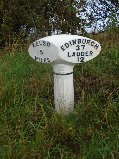
///blizzard.stupidly.pram. Near Kelso, Scottish Borders

Nearby Locations

Hundy Mundy Wood

Related Wikis

Nenthorn

Nenthorn is a parish and hamlet in the south of the historic county of Berwickshire in the Scottish Borders area of Scotland. It is included in the Floors...
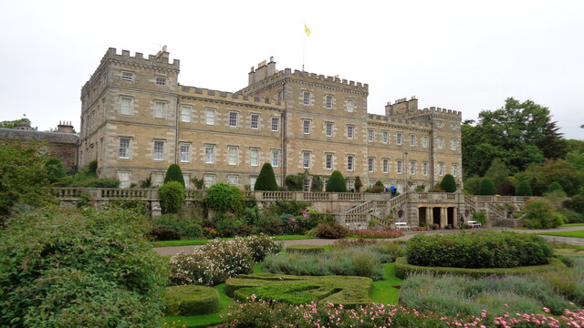
Mellerstain House

Mellerstain House is a stately home around 8 miles (13 kilometres) north of Kelso in the Borders, Scotland. It is currently the home of George Baillie...

Smailholm

Smailholm (Scots: Smailhowm) is a small village in the historic county of Roxburghshire in south-east Scotland. It is at grid reference NT648364 and straddles...

Smailholm Tower

Smailholm Tower is a peel tower at Smailholm, around five miles (8 km) west of Kelso in the Scottish Borders. Its dramatic situation, atop a crag of Lady...

Nearby Amenities

Located within 500m of 55.63108,-2.5406792
Power: tower
Lat/Long: 55.6323564/-2.5477836
Power: tower
Lat/Long: 55.6333682/-2.5454449
Power: tower
Lat/Long: 55.6343756/-2.5431164
Power: tower
Lat/Long: 55.6352896/-2.5410037
Power: pole
Lat/Long: 55.6335661/-2.5340471
The data included in this document is from www.openstreetmap.org. The data is made available under ODbL.

Have you been to Hundy Mundy Wood?

Leave your review of Hundy Mundy Wood below (or comments, questions and feedback).