Pulwhite Wood

Wood, Forest in Aberdeenshire

Scotland

Pulwhite Wood

A welcome at Woodside, near Kirkton of Culsalmond GOML country. I had to go closer to read the smaller, thereby, no doubt, impinging their privacy. Personally, I think people putting up signs like this should be liable for prosecution for threatening behaviour.
A welcome at Woodside, near Kirkton of Culsalmond Credit: Mike Pennington

The requested URL returned error: 429 Too Many Requests

If you have any feedback on the listing, please let us know in the comments section below.

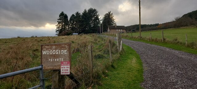
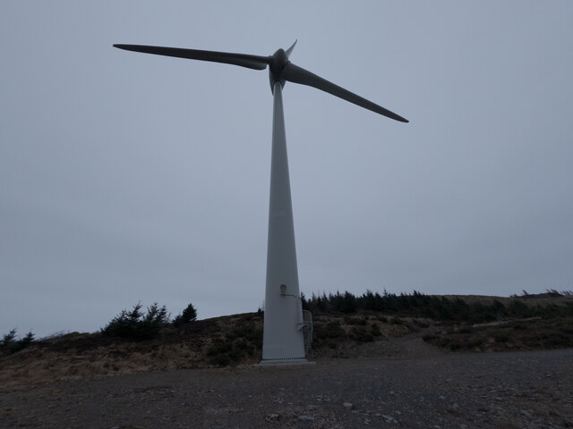
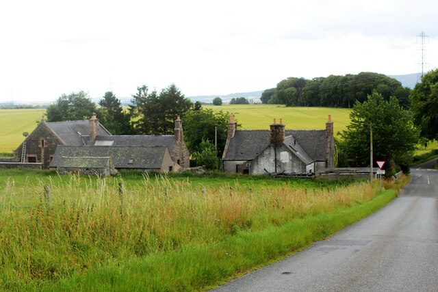
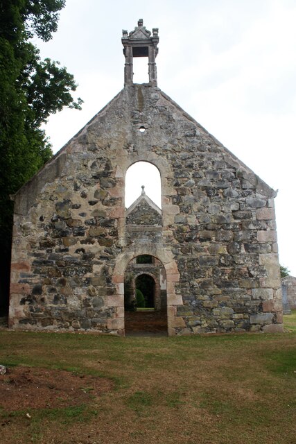
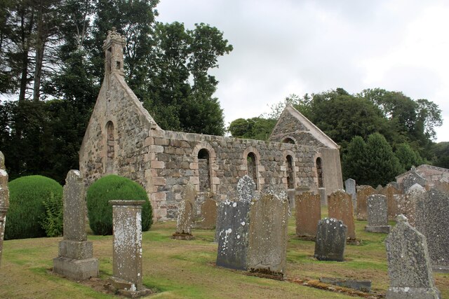
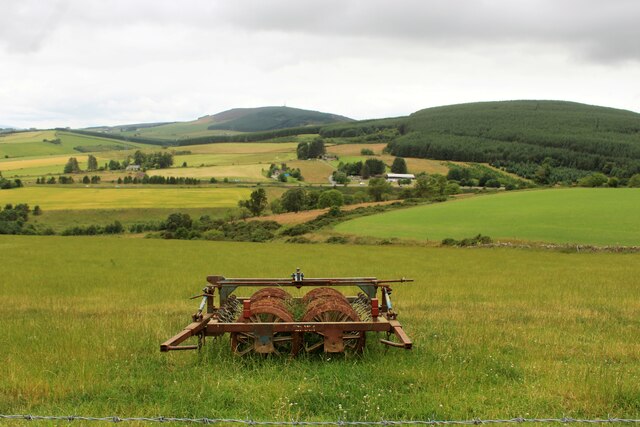
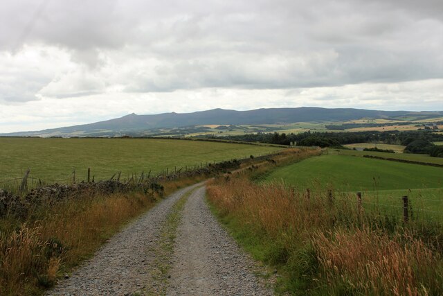
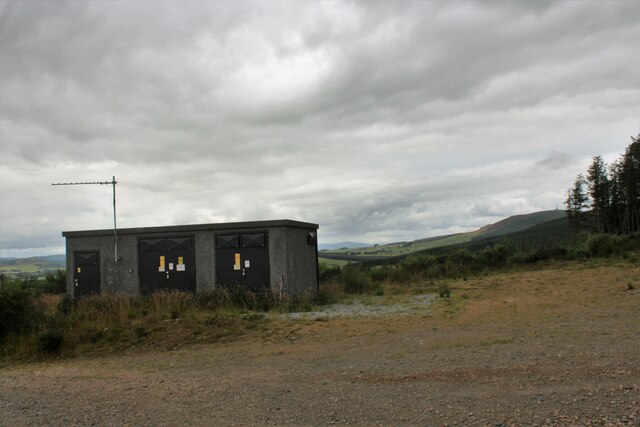
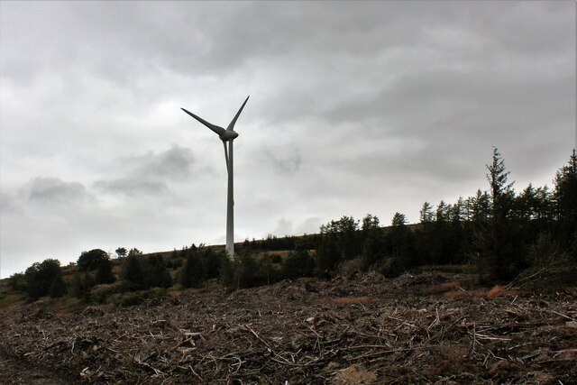
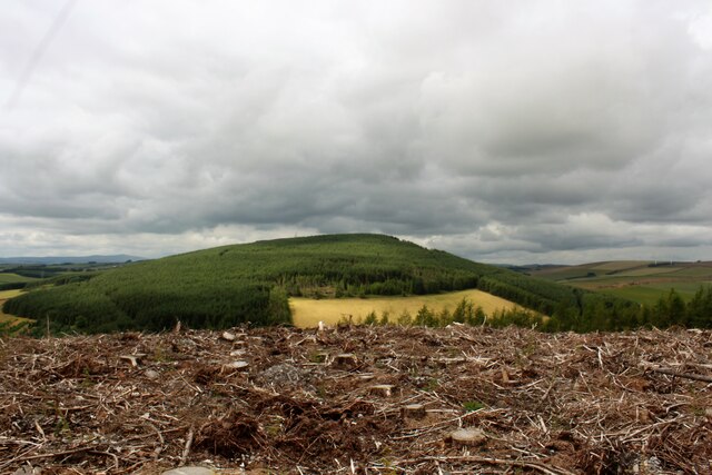
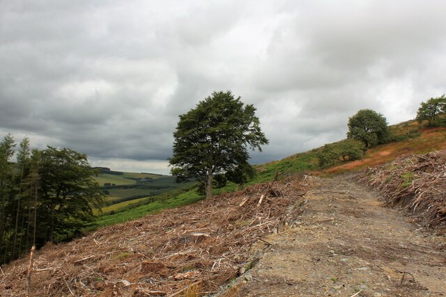
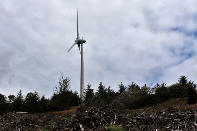
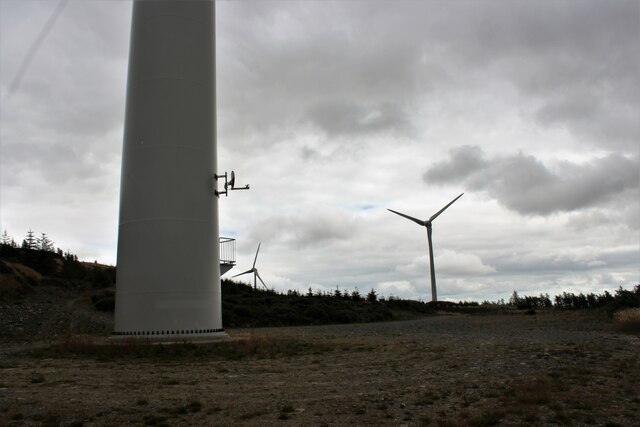
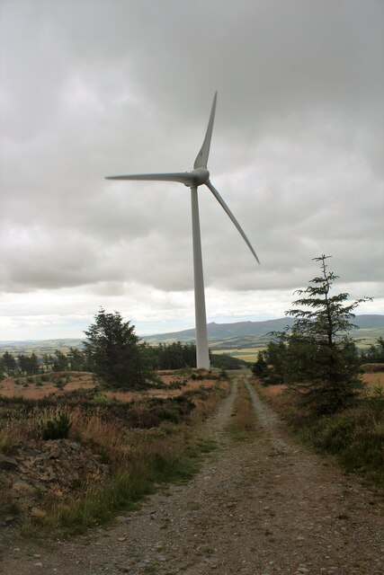
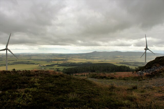
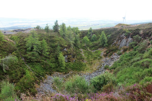
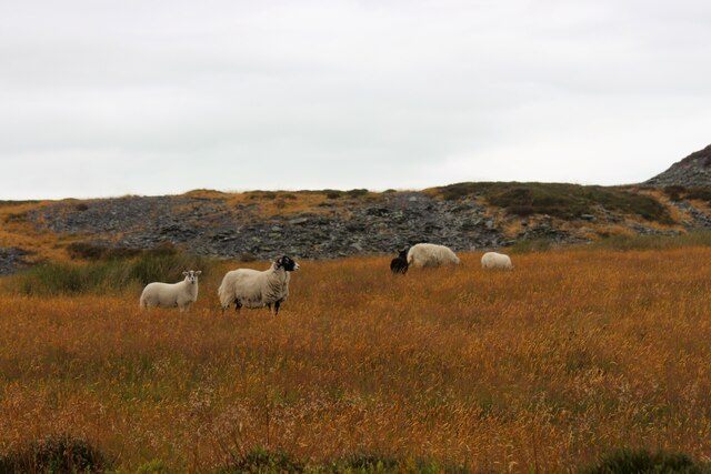
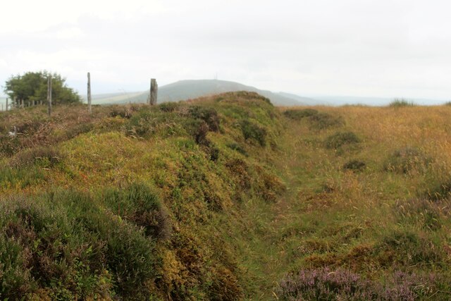
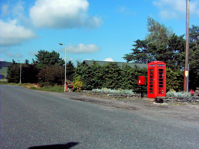
Pulwhite Wood Images

Images are sourced within 2km of 57.385134/-2.5673632 or Grid Reference NJ6532. Thanks to Geograph Open Source API. All images are credited.

A welcome at Woodside, near Kirkton of Culsalmond GOML country. I had to go closer to read the smaller, thereby, no doubt, impinging their privacy. Personally, I think people putting up signs like this should be liable for prosecution for threatening behaviour.
A welcome at Woodside, near Kirkton of Culsalmond
GOML country. I had to go closer to read the smaller, thereby, no doubt, impinging their privacy. Personally, I think people putting up signs like this should be liable for prosecution for threatening behaviour.
Windy Hill One of a few wind turbines  on the Hill of Tillymorgan
Windy Hill
One of a few wind turbines on the Hill of Tillymorgan
At the Bottom of Culsalmond Brae Buildings at the bottom of Culsalmond Brae, apparently an old schoolhouse and school. A small crossroad is at the right the A920 crossing two minor roads.
At the Bottom of Culsalmond Brae
Buildings at the bottom of Culsalmond Brae, apparently an old schoolhouse and school. A small crossroad is at the right the A920 crossing two minor roads.
Kirk Gable and Bell Tower The west gable of the old kirk of Culsalmond and its empty bell tower. Built in 1791 this church was abandoned in 1937, the west end lies in one grid square and the east in another.
Kirk Gable and Bell Tower
The west gable of the old kirk of Culsalmond and its empty bell tower. Built in 1791 this church was abandoned in 1937, the west end lies in one grid square and the east in another.
Old Culsalmond Kirkyard The old kirkyard at Culsalmond from the south-east,
Old Culsalmond Kirkyard
The old kirkyard at Culsalmond from the south-east,
Left in the Field An agricultural implement in a field above Kirton Farm. The wooded slopes of the Hill of Skares and Gartly Moor lie beyond.
Left in the Field
An agricultural implement in a field above Kirton Farm. The wooded slopes of the Hill of Skares and Gartly Moor lie beyond.
Track to Kirkton Farm The farm track leading south, downhill toward Kirktown Farm. Bennachie as so often prominent on the skyline.
Track to Kirkton Farm
The farm track leading south, downhill toward Kirktown Farm. Bennachie as so often prominent on the skyline.
Hill Workstation A workshop and communication set on the hillside near woodland for a nearby wind farm.
Hill Workstation
A workshop and communication set on the hillside near woodland for a nearby wind farm.
West Turbine The westerly of thee wind turbines on Tillymorgan.
West Turbine
The westerly of thee wind turbines on Tillymorgan.
Tillymorgan Clear-cut Clear-cut woodland atop Tillymorgan Hill with the wooded hill of Skares behind.
Tillymorgan Clear-cut
Clear-cut woodland atop Tillymorgan Hill with the wooded hill of Skares behind.
Lonesome Tree Not exactly a lonesome pine of the song but this tree stands at the end of a forestry track on Tillymorgan.
Lonesome Tree
Not exactly a lonesome pine of the song but this tree stands at the end of a forestry track on Tillymorgan.
Tillymorgan Turbine A wind turbine stands tall on the west side of Tillymorgan Hill.
Tillymorgan Turbine
A wind turbine stands tall on the west side of Tillymorgan Hill.
Turbine Base The base of the westerly turbine and a view to the remaining two on Tillymorgan.
Turbine Base
The base of the westerly turbine and a view to the remaining two on Tillymorgan.
Central Turbine The central of three turbines on Hill of Tillmorgan seen from above.
Central Turbine
The central of three turbines on Hill of Tillmorgan seen from above.
Tillmorgan Turbines Two wind turbines on the Hill of Tillymorgan, distant Bennachie forms part of the skyline.
Tillmorgan Turbines
Two wind turbines on the Hill of Tillymorgan, distant Bennachie forms part of the skyline.
Tillymorgan Slate Quarry An abandoned slate quarry on top of Tillymorgan Hill, with the new industry of power generation evident in the background in the shape of a wind turbine.
Tillymorgan Slate Quarry
An abandoned slate quarry on top of Tillymorgan Hill, with the new industry of power generation evident in the background in the shape of a wind turbine.
Tillymorgan Sheep Quarrying has gone, power production form turbine is the new industry on Tillymorgan but agriculture remains through all as shown by these hardy sheep.
Tillymorgan Sheep
Quarrying has gone, power production form turbine is the new industry on Tillymorgan but agriculture remains through all as shown by these hardy sheep.
Hilltop Dyke A natural boundary between the slate of the quarries and hilltop grassland.
Hilltop Dyke
A natural boundary between the slate of the quarries and hilltop grassland.
Show me another place!

Pulwhite Wood is located at Grid Ref: NJ6532 (Lat: 57.385134, Lng: -2.5673632)

Unitary Authority: Aberdeenshire

Police Authority: North East

What 3 Words

///solves.gurgling.once. Near Insch, Aberdeenshire

Related Wikis

Colpy

Colpy is a hamlet in Aberdeenshire, Scotland, situated 3 miles (5 kilometres) north of Insch. == External links == Colpy in the Gazetteer for Scotland...

Freefield Castle

Freefield Castle was a castle, about 11.5 miles (18.5 km) north of Inverurie, Aberdeenshire, Scotland, and 1 mile (1.6 km) west of North Rayne.Alternatively...

Bonnyton, Aberdeenshire

Bonnyton is a rural area of Old Rayne in the Garioch area of Aberdeenshire, Scotland.Bonnyton is a small secluded hamlet comprising seven houses, at the...

Culsalmond

Culsalmond was a 16th-century castle about 9.5 miles (15.3 km) south east of Huntly, Aberdeenshire, Scotland, near the river Ury. == History == The castle...

Nearby Amenities

Located within 500m of 57.385134,-2.5673632
Power: pole
Lat/Long: 57.388516/-2.5628107
Power: pole
Lat/Long: 57.3878736/-2.5621765
Power: pole
Lat/Long: 57.3872445/-2.5615738
Power: pole
Lat/Long: 57.3866288/-2.5609755
Power: pole
Lat/Long: 57.3860045/-2.5603728
Power: pole
Lat/Long: 57.3853838/-2.55977
Power: pole
Lat/Long: 57.3847305/-2.5593855
Power: pole
Lat/Long: 57.3842468/-2.5594147
Power: pole
Lat/Long: 57.3806966/-2.566872
Power: pole
Lat/Long: 57.3807483/-2.5680245
Power: pole
Lat/Long: 57.3808961/-2.5692
Power: pole
Lat/Long: 57.3810336/-2.5703141
Power: pole
Lat/Long: 57.3818626/-2.5626801
The data included in this document is from www.openstreetmap.org. The data is made available under ODbL.

Have you been to Pulwhite Wood?

Leave your review of Pulwhite Wood below (or comments, questions and feedback).