Fortlaw Wood

Wood, Forest in Berwickshire

Scotland

Fortlaw Wood

Road to Cammerlaws farm A farm in the Lammermuir foothills, off the B6456.
Road to Cammerlaws farm Credit: M J Richardson

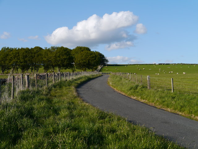
Fortlaw Wood is a picturesque forest located in the Scottish Borders region of Berwickshire. Covering an area of approximately 150 hectares, this woodland is a popular destination for nature lovers and outdoor enthusiasts.

The forest is predominantly made up of native broadleaf trees such as oak, beech, and birch, creating a diverse and vibrant ecosystem. Visitors to Fortlaw Wood can enjoy a network of well-maintained walking trails that wind through the trees, providing opportunities to spot a variety of wildlife including deer, birds, and squirrels.

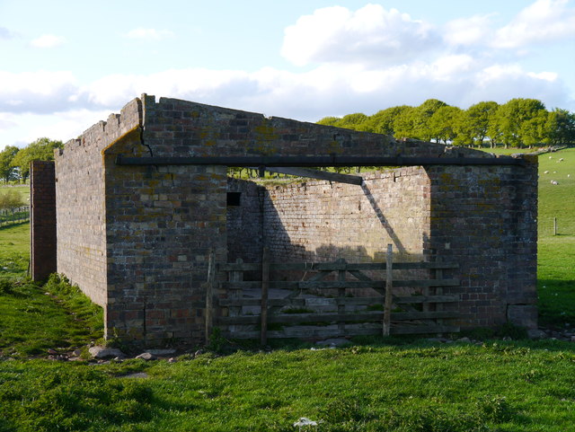
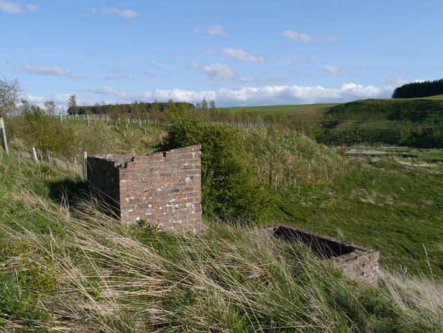
In addition to its natural beauty, Fortlaw Wood also has a rich cultural heritage. The remains of ancient settlements and historical sites can be found throughout the forest, adding an element of mystery and intrigue to the landscape.

Whether you're looking for a peaceful stroll through the woods, a challenging hike, or a spot for a relaxing picnic, Fortlaw Wood has something to offer for everyone. With its tranquil atmosphere and stunning scenery, it's no wonder this forest is a beloved destination for both locals and tourists alike.

If you have any feedback on the listing, please let us know in the comments section below.
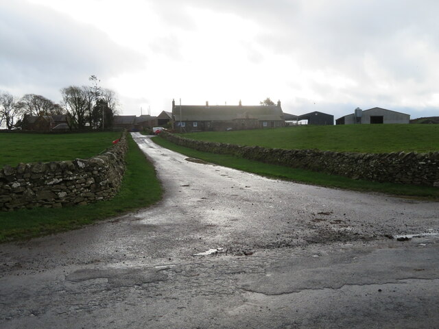
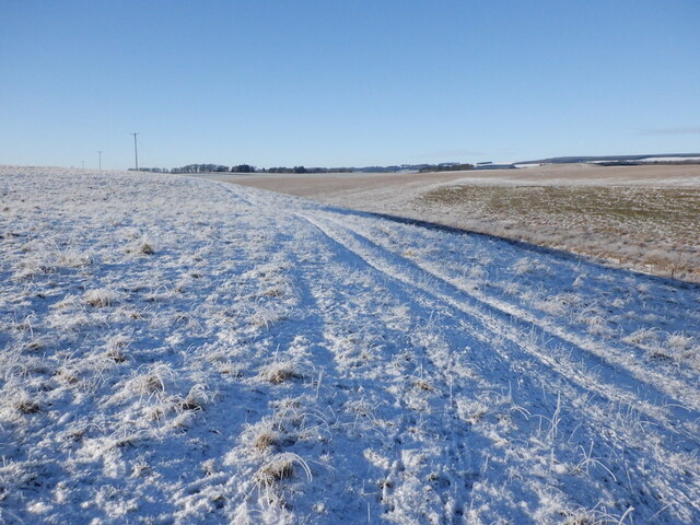
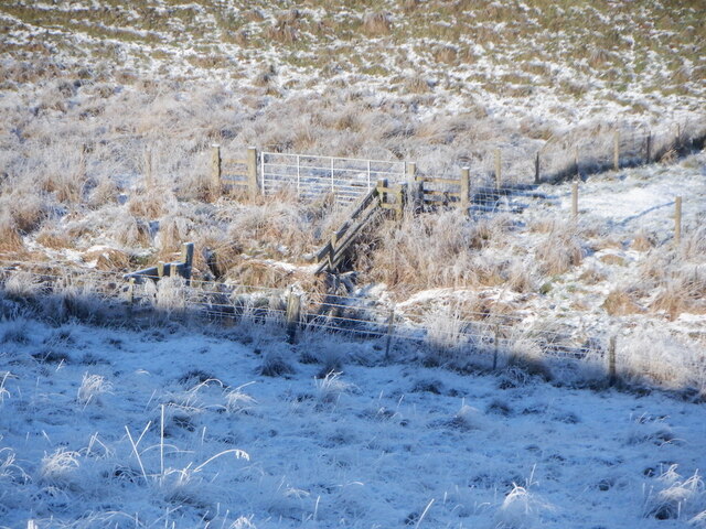
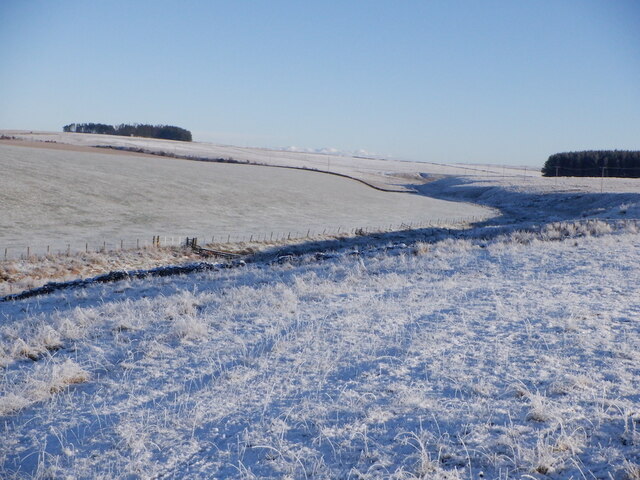
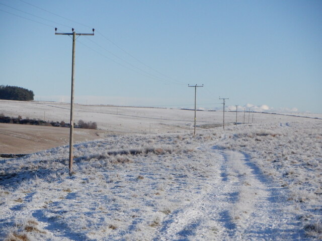
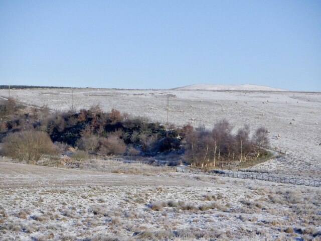
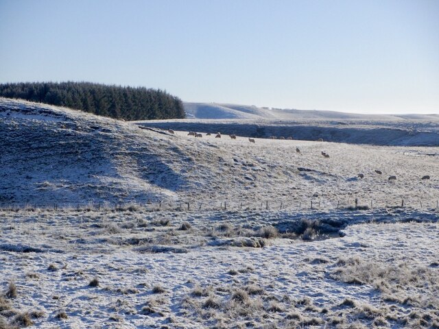
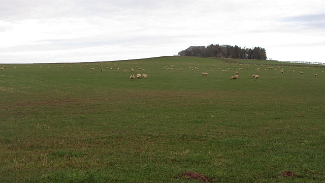
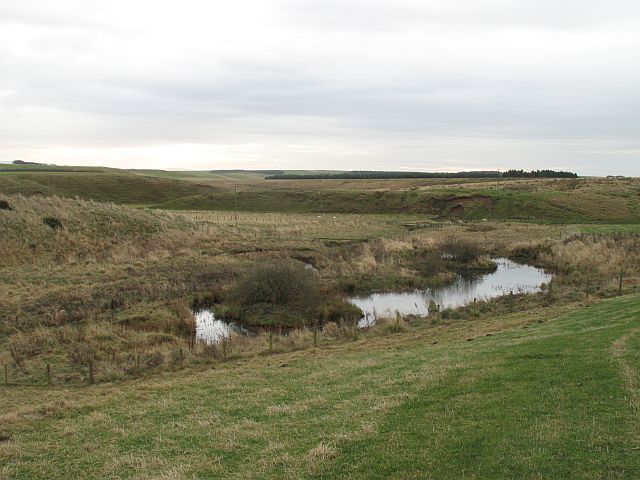
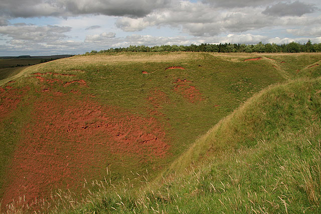
Fortlaw Wood Images

Images are sourced within 2km of 55.731042/-2.5364238 or Grid Reference NT6648. Thanks to Geograph Open Source API. All images are credited.

Road to Cammerlaws farm A farm in the Lammermuir foothills, off the B6456.
Road to Cammerlaws farm
A farm in the Lammermuir foothills, off the B6456.
Farmland near Westruther Stubble north of the burn, rime covered rough grazing in the foreground.
Farmland near Westruther
Stubble north of the burn, rime covered rough grazing in the foreground.
Burn near Westruther As usual, not named by the Ordnance Survey, a headwater of the Blackadder Water. Along with the electric fences, quite a barrier.
Burn near Westruther
As usual, not named by the Ordnance Survey, a headwater of the Blackadder Water. Along with the electric fences, quite a barrier.
Fields near Cammerlaws
Power line on Harelaw Moor
Woodland, Hurdlaw
Woodland, Hurdlaw
Blackadder Water
Blackadder Water
Hare Law A tree topped hill with grazing sheep. There are many electric fences here which suggests that cattle are also grazed here.
Hare Law
A tree topped hill with grazing sheep. There are many electric fences here which suggests that cattle are also grazed here.
Approach To A Beech-lined Avenue No doubt helpful in keeping snow off the road in winter to some extent, this Beech-lined approach to Halliburton Farm (off to the left of shot) is in full leaf.
Approach To A Beech-lined Avenue
No doubt helpful in keeping snow off the road in winter to some extent, this Beech-lined approach to Halliburton Farm (off to the left of shot) is in full leaf.
Remains Of A Pumping Station As yet I have been unable to find any information on this building, other than it was present in mapping as far back as 1965.  My theory is that it was a pumping station for water abstracted from the upper reaches of the Blackadder Water, a few hundred metres to the west.  To the right of this building, in the middle of a field, are the remains of a small brick structure.  There are also other structures on the slope overlooking the floodplain of the Blackadder Water, to the west.
Remains Of A Pumping Station
As yet I have been unable to find any information on this building, other than it was present in mapping as far back as 1965. My theory is that it was a pumping station for water abstracted from the upper reaches of the Blackadder Water, a few hundred metres to the west. To the right of this building, in the middle of a field, are the remains of a small brick structure. There are also other structures on the slope overlooking the floodplain of the Blackadder Water, to the west.
Structures Overlooking The Blackadder Water Two small structures adjacent to the presumed remains of a pumping station near Halliburton Farm.  The Blackadder Water floodplain can be noted to the right of the image.
Structures Overlooking The Blackadder Water
Two small structures adjacent to the presumed remains of a pumping station near Halliburton Farm. The Blackadder Water floodplain can be noted to the right of the image.
Sandstone Bridge Over The Blackadder Water A twin-arched sandstone bridge carrying Halliburton Road over the upper reaches of the Blackadder Water.  An inscription between the two arches on this (upstream) side of the bridge notes that the bridge dates from 1869.
Sandstone Bridge Over The Blackadder Water
A twin-arched sandstone bridge carrying Halliburton Road over the upper reaches of the Blackadder Water. An inscription between the two arches on this (upstream) side of the bridge notes that the bridge dates from 1869.
Hurdlaw Old farm, now just a byre and house, amongst grassland south of the Lammermuir Hills.
Hurdlaw
Old farm, now just a byre and house, amongst grassland south of the Lammermuir Hills.
Sheep by the Blackadder Water The course of the young river, which flows beyond the conifer plantation.
Sheep by the Blackadder Water
The course of the young river, which flows beyond the conifer plantation.
Electric fence, Blackadder Water One with dangly bits to prevent stock sneaking down the burn. This day, as was becoming usual was dominated by electric fences.
Electric fence, Blackadder Water
One with dangly bits to prevent stock sneaking down the burn. This day, as was becoming usual was dominated by electric fences.
Hurdlaw Looking across the Blackadder Water towards Hurdlaw.
Hurdlaw
Looking across the Blackadder Water towards Hurdlaw.
Flight pool, Hurdlaw Some of the riverside marshland has been excavated to attract wildfowl. None present at time of visit though.
Flight pool, Hurdlaw
Some of the riverside marshland has been excavated to attract wildfowl. None present at time of visit though.
Cattle near Hurdlaw
Cattle near Hurdlaw
Show me another place!

Fortlaw Wood is located at Grid Ref: NT6648 (Lat: 55.731042, Lng: -2.5364238)

Unitary Authority: The Scottish Borders

Police Authority: The Lothians and Scottish Borders

What 3 Words

///slate.countries.trappings. Near Duns, Scottish Borders

Nearby Locations

Fortlaw Wood Bog Wood

Related Wikis

Greenlaw Moor

Greenlaw Moor is an area of raised heather moorland in the foothills of the Lammermuir Hills, in the Scottish Borders area of Scotland. Located north of...
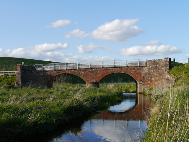
Blackadder Water

Blackadder Water () is a river in Berwickshire in the Scottish Borders area of Scotland, forming part of the River Tweed system. It reached 2.84m at Mouthbridge...

Blackcastle Rings

The Blackcastle Rings are earthworks and a promontory fort in the Parish of Greenlaw, above the left bank of the Blackadder Water, in the Scottish Borders...

Berwickshire

Berwickshire (; Scottish Gaelic: Siorrachd Bhearaig) is a historic county, registration county and lieutenancy area in south-eastern Scotland, on the English...

Nearby Amenities

Located within 500m of 55.731042,-2.5364238
Power: pole
Lat/Long: 55.7271325/-2.5394196
Power: pole
Lat/Long: 55.7272471/-2.5380417
Power: pole
Lat/Long: 55.7275463/-2.5371342
Power: pole
Lat/Long: 55.7278412/-2.5362241
Power: pole
Lat/Long: 55.7282406/-2.5349759
Power: pole
Lat/Long: 55.7285655/-2.5339819
Power: pole
Lat/Long: 55.7288776/-2.5329905
Power: pole
Lat/Long: 55.7291853/-2.5320347
Power: pole
Lat/Long: 55.7295031/-2.5310585
Power: pole
Lat/Long: 55.7297379/-2.5298459
The data included in this document is from www.openstreetmap.org. The data is made available under ODbL.

Have you been to Fortlaw Wood?

Leave your review of Fortlaw Wood below (or comments, questions and feedback).