Berwick Wood

Wood, Forest in Aberdeenshire

Scotland

Berwick Wood

Minor road near Glassel
Minor road near Glassel Credit: Steven Brown

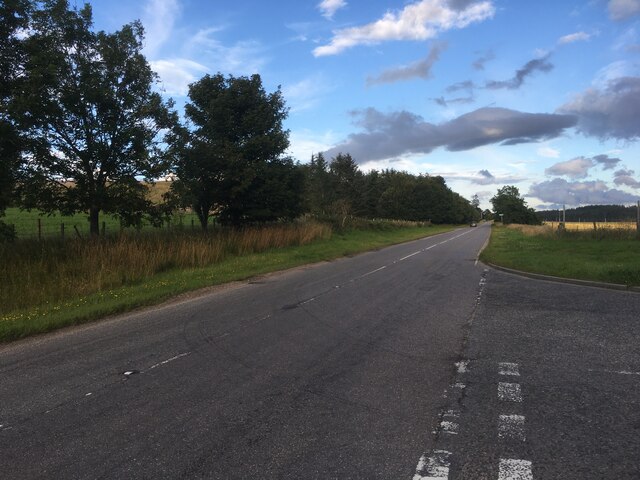
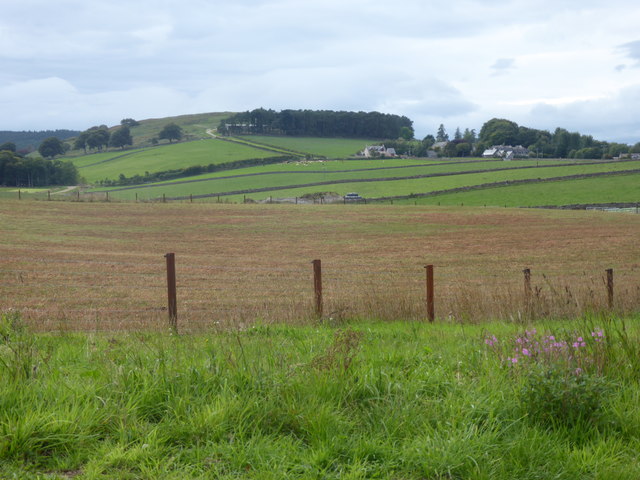
Berwick Wood is a picturesque forest located in Aberdeenshire, Scotland. Stretching over an area of approximately 100 acres, this woodland is a haven for nature enthusiasts and outdoor lovers. The forest is situated near the village of Berwick, which adds to its charm and accessibility.

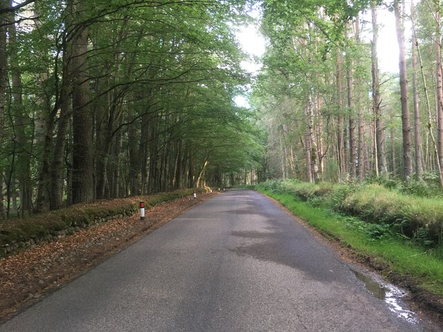
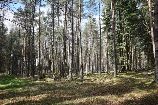
The woodland is predominantly composed of native tree species, including oak, birch, and pine, creating a diverse ecosystem that supports a wide range of flora and fauna. The forest floor is covered with a thick carpet of mosses, ferns, and wildflowers, adding to the enchanting atmosphere of the wood.

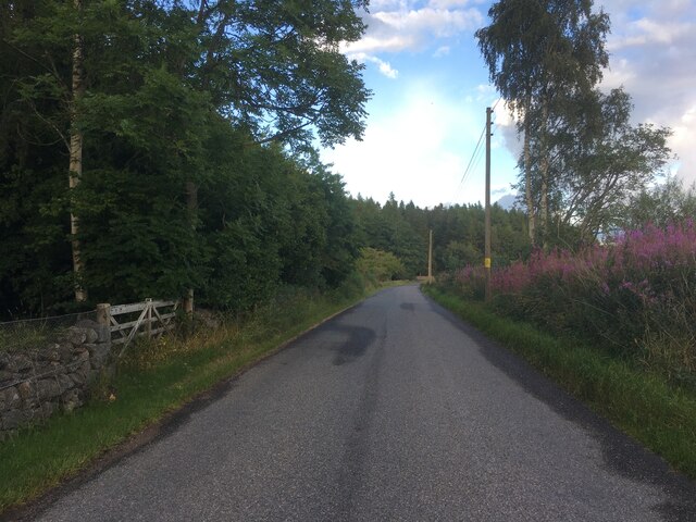
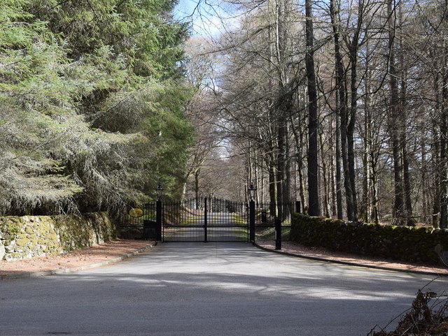
Berwick Wood offers numerous walking trails and paths that wind through its dense vegetation, providing visitors with the opportunity to explore its beauty at their own pace. The trails are well-maintained, making it easy for all visitors, including families with young children and individuals with limited mobility, to enjoy the forest.

Wildlife is abundant in Berwick Wood, with many bird species, such as woodpeckers and owls, calling the forest their home. Red squirrels can also be spotted darting among the trees, while deer and other small mammals are occasionally seen grazing in the clearings.

The tranquil ambiance of Berwick Wood makes it a popular spot for picnics and nature photography. The forest is also a designated nature reserve, highlighting its ecological importance and the need for conservation efforts.

Overall, Berwick Wood is a captivating woodland that offers a tranquil escape from the hustle and bustle of everyday life, providing visitors with a chance to reconnect with nature and enjoy the beauty of Aberdeenshire's natural landscape.

If you have any feedback on the listing, please let us know in the comments section below.
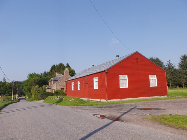
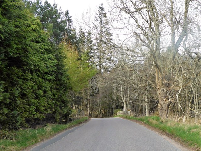
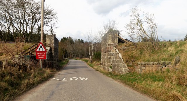
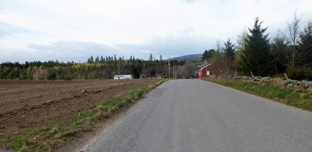
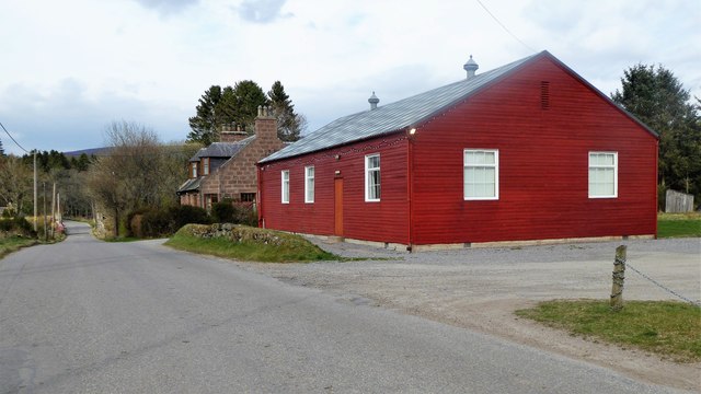
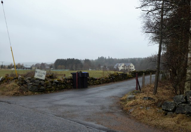
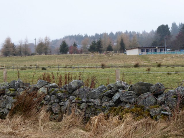
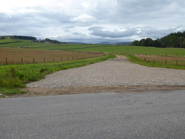
Berwick Wood Images

Images are sourced within 2km of 57.094908/-2.5774604 or Grid Reference NJ6500. Thanks to Geograph Open Source API. All images are credited.

Minor road near Glassel
Minor road near Pittenkerrie
A980 towards Banchory
Road junction near Milton of Campfield
Glassel village hall (2015) By a minor road between Torphins and Banchory. Weatherboarding a vibrant colour in this afternoon sunshine.
Glassel village hall (2015)
By a minor road between Torphins and Banchory. Weatherboarding a vibrant colour in this afternoon sunshine.
Bridge over Beltie Burn On a minor road at Glassel; Bogarn Wood ahead.
Bridge over Beltie Burn
On a minor road at Glassel; Bogarn Wood ahead.
Dismantled Railway Bridge over minor road At Glassel; the 'road narrows' warning sign is for a blind hump-back stone bridge over the Beltie Burn a short distance ahead.
Dismantled Railway Bridge over minor road
At Glassel; the 'road narrows' warning sign is for a blind hump-back stone bridge over the Beltie Burn a short distance ahead.
Approach to Glassel village hall From near a minor road junction to its south.
Approach to Glassel village hall
From near a minor road junction to its south.
Glassel Village Hall (2017) Not much changed since 2015 (cf <a href="https://www.geograph.org.uk/photo/4628866">NO6599 : Glassel village hall (2015)</a>)
Glassel Village Hall (2017)
Not much changed since 2015 (cf NO6599 : Glassel village hall (2015))
Access to West Lyne House This 'new build' now has a name.
Access to West Lyne House
This 'new build' now has a name.
Stables and paddock, Glassel
A new road in preparation From Glassel Village Hall towards Mains of Easter Beltie (on Hill of Beltie: top left). Track not yet mapped.
A new road in preparation
From Glassel Village Hall towards Mains of Easter Beltie (on Hill of Beltie: top left). Track not yet mapped.
View to Hill of Beltie summit (195m asl) From minor road near Glassel Village Hall.
View to Hill of Beltie summit (195m asl)
From minor road near Glassel Village Hall.
Name sign for West Lyne House A relatively new build on the disused Deeside Railway track.
Name sign for West Lyne House
A relatively new build on the disused Deeside Railway track.
Glassel stone circle You have to battle through a conifer plantation with numerous fallen trees to find this charming small 'circle', which is thought to be 'transitional' between recumbent circles and later 'four-poster' circles.  See the Canmore listing 36195 for much more: <span class="nowrap"><a title="https://canmore.org.uk/site/36195/glassel" rel="nofollow ugc noopener" href="https://canmore.org.uk/site/36195/glassel">Link</a><img style="margin-left:2px;" alt="External link" title="External link - shift click to open in new window" src="https://s1.geograph.org.uk/img/external.png" width="10" height="10"/></span> .
Glassel stone circle
You have to battle through a conifer plantation with numerous fallen trees to find this charming small 'circle', which is thought to be 'transitional' between recumbent circles and later 'four-poster' circles. See the Canmore listing 36195 for much more: LinkExternal link .
Light and shade at Glassel stone circle
Conifer plantation at Dam Wood
Gated driveway to Glassel House
Show me another place!

Berwick Wood is located at Grid Ref: NJ6500 (Lat: 57.094908, Lng: -2.5774604)

Unitary Authority: Aberdeenshire

Police Authority: North East

What 3 Words

///dispenser.submit.firelight. Near Torphins, Aberdeenshire

Related Wikis

Glassel railway station

Glassel railway station is a disused railway station in Britain. It served Glassel House, the Mill of Beltie and the local farms and the inhabitants of...

Beltie Burn

The Beltie Burn is a burn in Aberdeenshire, Scotland, which below Torphins and Glassel is known as the Burn of Canny. It begins in the hill of Benaquhallie...

Torphins railway station

Torphins railway station served the village of Torphins from 1859 to 1966 on the Deeside Railway that ran from Aberdeen (Joint) to Ballater. == History... ==

Torphins

Torphins ( tor-FINZ; Scottish Gaelic: Tòrr Fionn) is a village in Royal Deeside, Aberdeenshire, Scotland which lies about 22 miles (35 km) west of Aberdeen...

Related Videos

Meikle Tap Walk, Banchory, Scotland countryside 4K

Meikle Tap Walk, Banchory, Scotland countryside 4K - a relaxing walk with no added music and nature sounds ASMR. The video ...

Torphins Village Walk, Scottish Countryside 4K

Torphins Village Walk, Scottish Countryside 4K. Step into the beauty of Torphins Village in Scotland's countryside! Wander ...

Hill of Fare, Abandoned Shooting Lodge.

Old shooting Lodge up the hill of Fare in Aberdeenshire, Scotland.

Beware: The Dark Secrets Behind the Warlock Stone .

Donations much appreciated https://www.paypal.com/paypalme/larrybees The Gryt Stane o' Cragleauche (aka the Warlock Stone) ...

Nearby Amenities

Located within 500m of 57.094908,-2.5774604
Campfield Caravan Site
Tents: yes
Tourism: caravan_site
Lat/Long: 57.0929196/-2.5751648
Fuel
Campfield Filling Station
Addr Postcode: AB31 4DN
Brand: Shell
Brand Wikidata: Q110716465
Fuel Diesel: yes
Fuel Octane 95: yes
Fuel Octane 99: yes
Opening Hours: Mo-Su 05:00-22:00
Phone: +44 1339 882250
Ref Navads: NVDS353_10019715
Shop: yes
Website: https://find.shell.com/gb/fuel/10019715-campfield-filling-station
Lat/Long: 57.0926191/-2.574847
Post Box
Brand: Royal Mail
Brand Wikidata: Q638098
Check Date: 2022-06-20
Collection Times: Mo-Fr 14:30; Sa 12:00; Su off
Manufacturer: WT Allen
Operator: Royal Mail
Operator Wikidata: Q638098
Post Box Type: lamp
Ref: AB31 218
Royal Cypher: scottish_crown
Source: survey
Lat/Long: 57.0926547/-2.5747135
Campfield
Place: hamlet
Lat/Long: 57.0925925/-2.5747194
Power: pole
Lat/Long: 57.0957954/-2.5695983
Power: pole
Lat/Long: 57.0955944/-2.570551
Power: pole
Lat/Long: 57.0953513/-2.5717606
Power: pole
Lat/Long: 57.0950937/-2.5730035
Power: pole
Lat/Long: 57.0948686/-2.5741068
Power: pole
Lat/Long: 57.0946123/-2.5747294
Power: pole
Lat/Long: 57.0943511/-2.5753564
Power: pole
Lat/Long: 57.0938456/-2.5765771
Power: pole
Lat/Long: 57.0934075/-2.5776184
Power: pole
Lat/Long: 57.0929754/-2.5786486
Power: pole
Lat/Long: 57.0924747/-2.5797452
Power: pole
Lat/Long: 57.0920594/-2.5805871
Power: pole
Lat/Long: 57.092305/-2.5787106
Power: pole
Lat/Long: 57.0919475/-2.5772772
Power: pole
Lat/Long: 57.0915816/-2.5758283
Power: pole
Lat/Long: 57.0912542/-2.5745388
Power: pole
Lat/Long: 57.0914432/-2.5818699
Power: pole
Lat/Long: 57.0988032/-2.5799596
Power: pole
Lat/Long: 57.0982958/-2.5793773
Power: pole
Lat/Long: 57.0976464/-2.578614
Power: pole
Lat/Long: 57.0972497/-2.5781469
Power: pole
Lat/Long: 57.0967859/-2.5775956
Power: pole
Lat/Long: 57.0961466/-2.577003
Power: pole
Lat/Long: 57.0955598/-2.5764681
Power: pole
Lat/Long: 57.0950155/-2.5760237
Power: pole
Lat/Long: 57.094555/-2.5756636
The data included in this document is from www.openstreetmap.org. The data is made available under ODbL.

Have you been to Berwick Wood?

Leave your review of Berwick Wood below (or comments, questions and feedback).