Tillyfaud Wood

Wood, Forest in Aberdeenshire

Scotland

Tillyfaud Wood

Minor road near Glassel
Minor road near Glassel Credit: Steven Brown

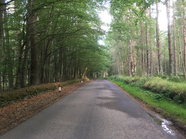
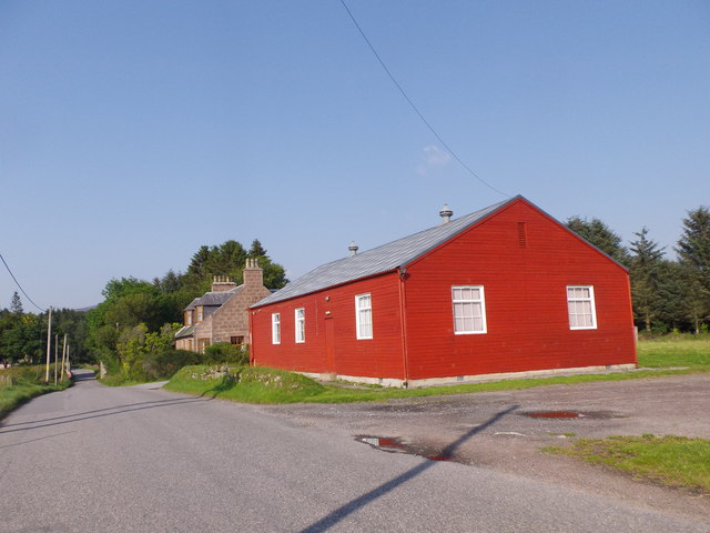
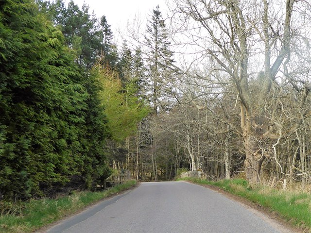
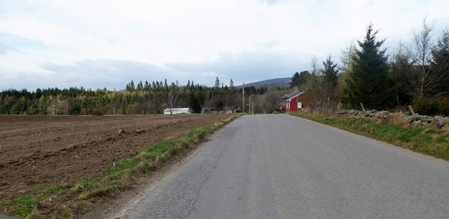
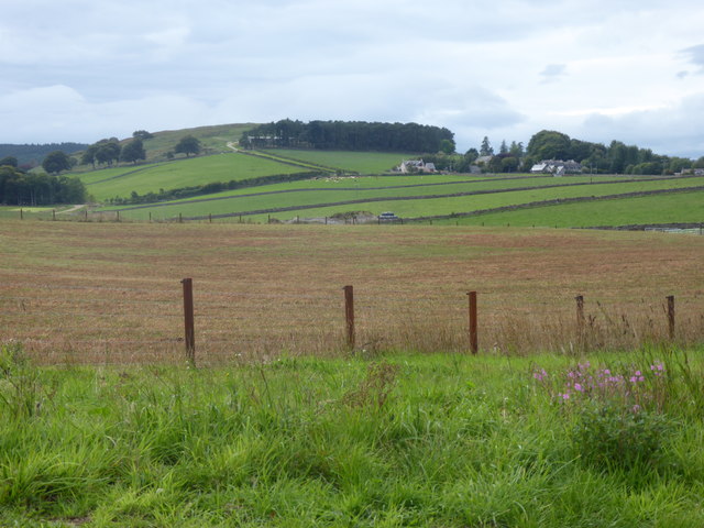
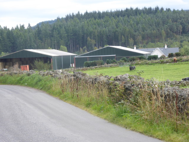
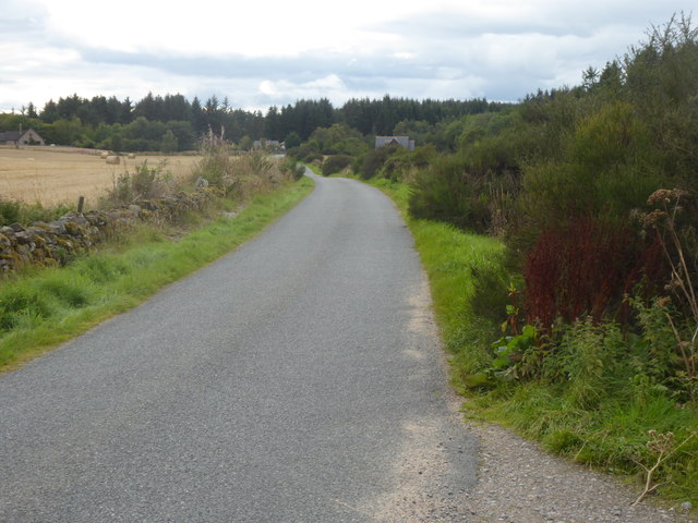
Tillyfaud Wood is a picturesque forest located in Aberdeenshire, Scotland. Covering an extensive area of approximately 200 hectares, this woodland is a popular destination for nature enthusiasts and outdoor recreational activities.

The forest consists of a diverse range of tree species, including native Scots pine, birch, oak, and beech. Its rich and varied vegetation provides a habitat for a wide array of wildlife, making it an ideal spot for birdwatching and animal spotting. Visitors can often catch glimpses of red squirrels, roe deer, and various bird species such as the great spotted woodpecker and the goldcrest.

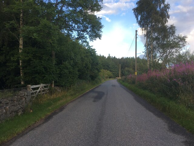
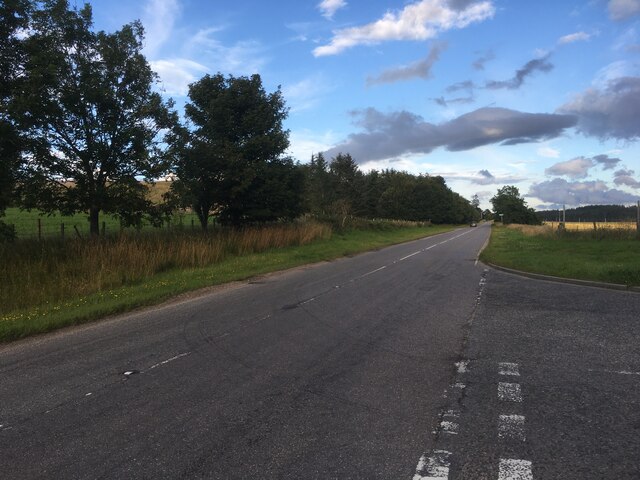
Tillyfaud Wood boasts a network of well-maintained trails that wind through the forest, offering visitors the opportunity to explore its natural beauty. These paths cater to different levels of difficulty, ensuring that everyone, from novice walkers to experienced hikers, can enjoy the wood at their own pace. Along the trails, there are several picnic areas, where visitors can take a break and enjoy a packed lunch surrounded by the tranquil setting.

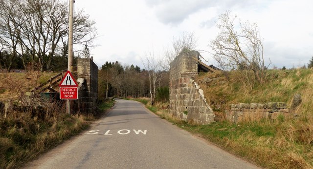
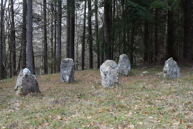
In addition to its natural attractions, Tillyfaud Wood is also home to the ruins of an old castle, adding a touch of history and intrigue to the area. The castle ruins provide an interesting backdrop for photographers and history enthusiasts alike.

Overall, Tillyfaud Wood is a stunning woodland that offers a peaceful and immersive experience in nature. Its combination of scenic beauty, diverse wildlife, and recreational opportunities make it a must-visit destination for nature lovers and those seeking a tranquil escape from the hustle and bustle of everyday life.

If you have any feedback on the listing, please let us know in the comments section below.

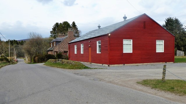
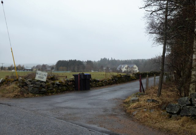
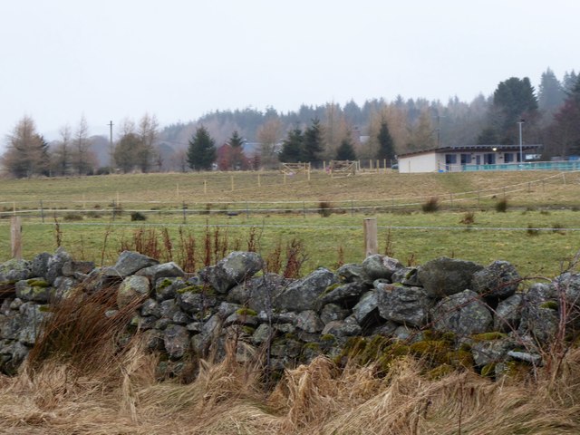
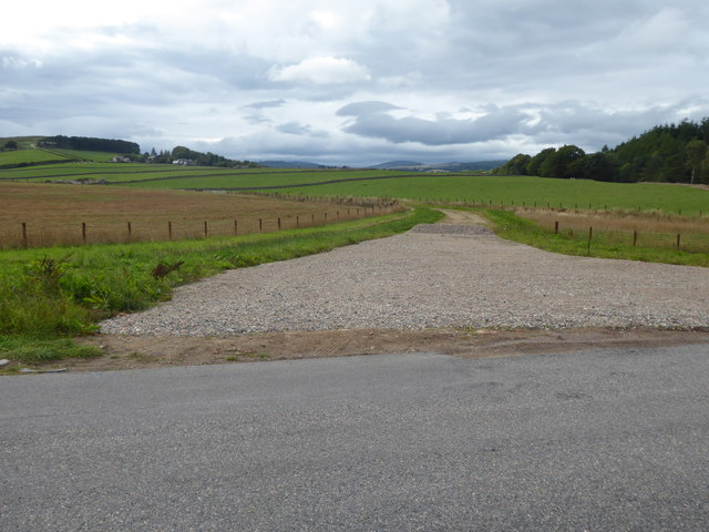
Tillyfaud Wood Images

Images are sourced within 2km of 57.093541/-2.5699634 or Grid Reference NJ6500. Thanks to Geograph Open Source API. All images are credited.

Minor road near Glassel
Minor road near Pittenkerrie
A980 towards Banchory
Road junction near Milton of Campfield
Glassel village hall (2015) By a minor road between Torphins and Banchory. Weatherboarding a vibrant colour in this afternoon sunshine.
Glassel village hall (2015)
By a minor road between Torphins and Banchory. Weatherboarding a vibrant colour in this afternoon sunshine.
Bridge over Beltie Burn On a minor road at Glassel; Bogarn Wood ahead.
Bridge over Beltie Burn
On a minor road at Glassel; Bogarn Wood ahead.
Dismantled Railway Bridge over minor road At Glassel; the 'road narrows' warning sign is for a blind hump-back stone bridge over the Beltie Burn a short distance ahead.
Dismantled Railway Bridge over minor road
At Glassel; the 'road narrows' warning sign is for a blind hump-back stone bridge over the Beltie Burn a short distance ahead.
Approach to Glassel village hall From near a minor road junction to its south.
Approach to Glassel village hall
From near a minor road junction to its south.
Glassel Village Hall (2017) Not much changed since 2015 (cf <a href="https://www.geograph.org.uk/photo/4628866">NO6599 : Glassel village hall (2015)</a>)
Glassel Village Hall (2017)
Not much changed since 2015 (cf NO6599 : Glassel village hall (2015))
Access to West Lyne House This 'new build' now has a name.
Access to West Lyne House
This 'new build' now has a name.
Stables and paddock, Glassel
A new road in preparation From Glassel Village Hall towards Mains of Easter Beltie (on Hill of Beltie: top left). Track not yet mapped.
A new road in preparation
From Glassel Village Hall towards Mains of Easter Beltie (on Hill of Beltie: top left). Track not yet mapped.
View to Hill of Beltie summit (195m asl) From minor road near Glassel Village Hall.
View to Hill of Beltie summit (195m asl)
From minor road near Glassel Village Hall.
Name sign for West Lyne House A relatively new build on the disused Deeside Railway track.
Name sign for West Lyne House
A relatively new build on the disused Deeside Railway track.
Farm buildings near Pittenkerrie Seen from the minor road between Glassel and West Brathens.
Farm buildings near Pittenkerrie
Seen from the minor road between Glassel and West Brathens.
Generously up-graded access to Pittenkerrie farm From the minor road past Woodend of Glassel.
Generously up-graded access to Pittenkerrie farm
From the minor road past Woodend of Glassel.
Road to West Brathens With the Burn of Canny off right.
Road to West Brathens
With the Burn of Canny off right.
Glassel stone circle You have to battle through a conifer plantation with numerous fallen trees to find this charming small 'circle', which is thought to be 'transitional' between recumbent circles and later 'four-poster' circles.  See the Canmore listing 36195 for much more: <span class="nowrap"><a title="https://canmore.org.uk/site/36195/glassel" rel="nofollow ugc noopener" href="https://canmore.org.uk/site/36195/glassel">Link</a><img style="margin-left:2px;" alt="External link" title="External link - shift click to open in new window" src="https://s1.geograph.org.uk/img/external.png" width="10" height="10"/></span> .
Glassel stone circle
You have to battle through a conifer plantation with numerous fallen trees to find this charming small 'circle', which is thought to be 'transitional' between recumbent circles and later 'four-poster' circles. See the Canmore listing 36195 for much more: LinkExternal link .
Show me another place!

Tillyfaud Wood is located at Grid Ref: NJ6500 (Lat: 57.093541, Lng: -2.5699634)

Unitary Authority: Aberdeenshire

Police Authority: North East

What 3 Words

///reserves.broth.camp. Near Torphins, Aberdeenshire

Related Wikis

Beltie Burn

The Beltie Burn is a burn in Aberdeenshire, Scotland, which below Torphins and Glassel is known as the Burn of Canny. It begins in the hill of Benaquhallie...

Glassel railway station

Glassel railway station is a disused railway station in Britain. It served Glassel House, the Mill of Beltie and the local farms and the inhabitants of...

Hill of Fare

The Hill of Fare is a small hill in Aberdeenshire, Scotland. It is located about 5 km (3 miles) northeast of the village of Torphins. The hill is long...

Cluny Crichton Castle

Cluny Crichton Castle (also known as Clounie Crighton Castle) is a ruined 3-story tower house on the southern slopes of the Hill of Fare in Aberdeenshire...

Nearby Amenities

Located within 500m of 57.093541,-2.5699634
Campfield Caravan Site
Tents: yes
Tourism: caravan_site
Lat/Long: 57.0929196/-2.5751648
Fuel
Campfield Filling Station
Addr Postcode: AB31 4DN
Brand: Shell
Brand Wikidata: Q110716465
Fuel Diesel: yes
Fuel Octane 95: yes
Fuel Octane 99: yes
Opening Hours: Mo-Su 05:00-22:00
Phone: +44 1339 882250
Ref Navads: NVDS353_10019715
Shop: yes
Website: https://find.shell.com/gb/fuel/10019715-campfield-filling-station
Lat/Long: 57.0926191/-2.574847
Post Box
Brand: Royal Mail
Brand Wikidata: Q638098
Check Date: 2022-06-20
Collection Times: Mo-Fr 14:30; Sa 12:00; Su off
Manufacturer: WT Allen
Operator: Royal Mail
Operator Wikidata: Q638098
Post Box Type: lamp
Ref: AB31 218
Royal Cypher: scottish_crown
Source: survey
Lat/Long: 57.0926547/-2.5747135
Campfield
Place: hamlet
Lat/Long: 57.0925925/-2.5747194
Power: pole
Lat/Long: 57.0967726/-2.5648439
Power: pole
Lat/Long: 57.0964633/-2.5663371
Power: pole
Lat/Long: 57.0962226/-2.5675047
Power: pole
Lat/Long: 57.0959891/-2.5686346
Power: pole
Lat/Long: 57.0957954/-2.5695983
Power: pole
Lat/Long: 57.0955944/-2.570551
Power: pole
Lat/Long: 57.0953513/-2.5717606
Power: pole
Lat/Long: 57.0950937/-2.5730035
Power: pole
Lat/Long: 57.0948686/-2.5741068
Power: pole
Lat/Long: 57.0946123/-2.5747294
Power: pole
Lat/Long: 57.0943511/-2.5753564
Power: pole
Lat/Long: 57.0938456/-2.5765771
Power: pole
Lat/Long: 57.0934075/-2.5776184
Power: pole
Lat/Long: 57.0919475/-2.5772772
Power: pole
Lat/Long: 57.0915816/-2.5758283
Power: pole
Lat/Long: 57.0912542/-2.5745388
Material: wood
Power: pole
Lat/Long: 57.0909171/-2.5731719
Material: wood
Power: pole
Lat/Long: 57.091401/-2.5722525
Material: wood
Power: pole
Lat/Long: 57.0919054/-2.5712799
Material: wood
Power: pole
Lat/Long: 57.092394/-2.5703604
Material: wood
Power: pole
Lat/Long: 57.0901973/-2.5730412
Material: wood
Power: pole
Lat/Long: 57.0895112/-2.5728883
Power: pole
Lat/Long: 57.0955598/-2.5764681
Power: pole
Lat/Long: 57.0950155/-2.5760237
Power: pole
Lat/Long: 57.094555/-2.5756636
The data included in this document is from www.openstreetmap.org. The data is made available under ODbL.

Have you been to Tillyfaud Wood?

Leave your review of Tillyfaud Wood below (or comments, questions and feedback).