Gouldrie Wood
Wood, Forest in Banffshire
Scotland
Gouldrie Wood
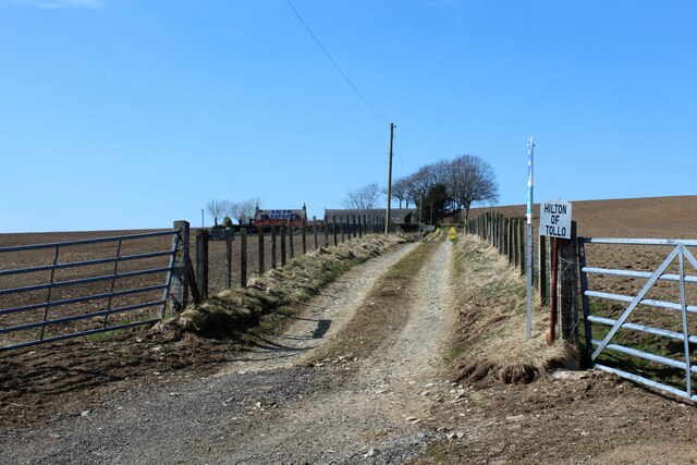
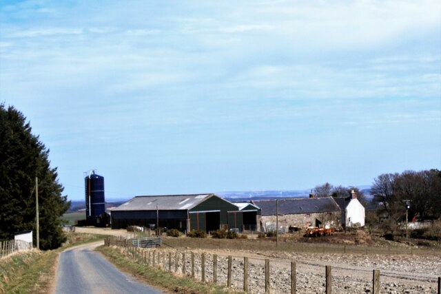
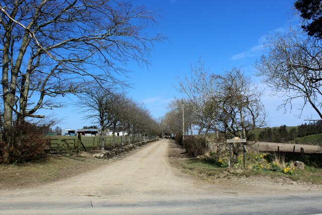
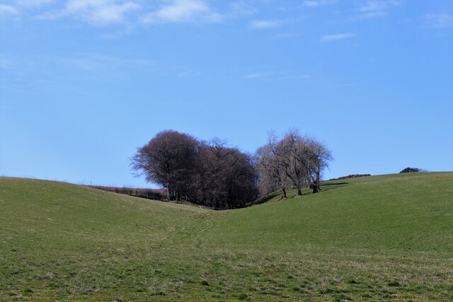
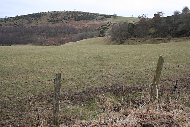
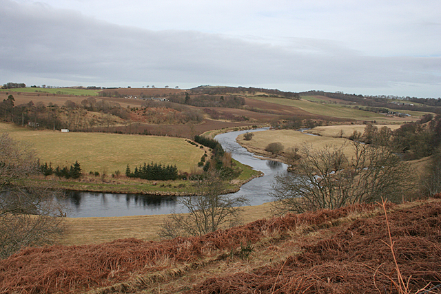
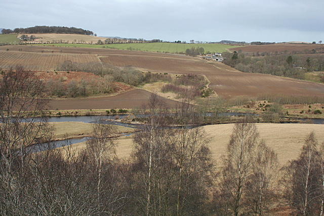
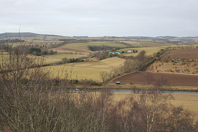
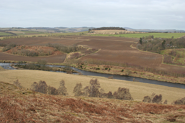
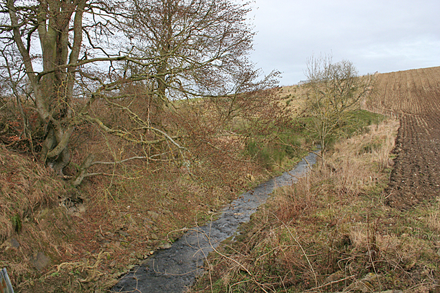
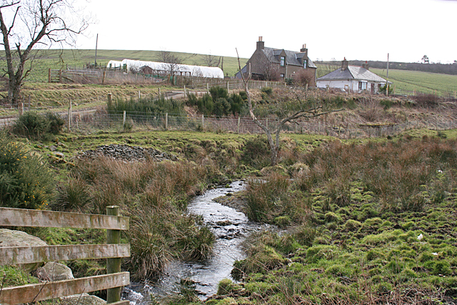
Gouldrie Wood, located in Banffshire, Scotland, is a picturesque forest covering an area of approximately 50 hectares. This woodland is part of the larger Tynet Burn Forest, which is renowned for its rich biodiversity and stunning natural beauty. Gouldrie Wood is situated on a gently sloping hillside, offering visitors a captivating view of the surrounding landscape.
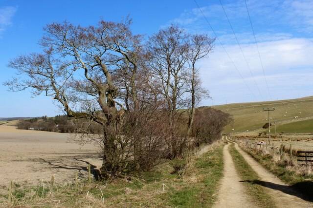
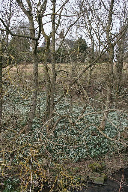
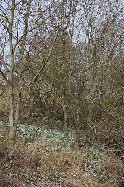
The wood is predominantly composed of native tree species, including Scots pine, birch, and oak. These trees form a dense canopy that provides shade and shelter for a wide variety of flora and fauna. The forest floor is adorned with an abundance of wildflowers, such as bluebells and primroses, adding vibrant colors to the woodland scene.
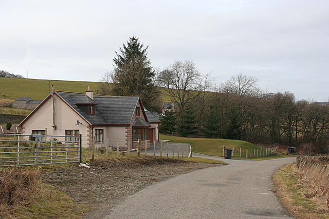
Gouldrie Wood is a popular destination for nature enthusiasts and walkers, as it offers a network of well-maintained trails that wind through the forest. These paths provide visitors with the opportunity to experience the tranquility of the woods while immersing themselves in the sights and sounds of nature.
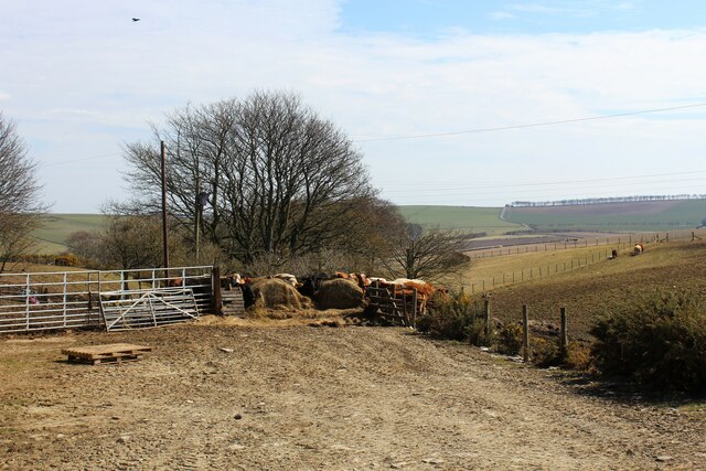
The forest also serves as a habitat for numerous wildlife species, including red squirrels, roe deer, and a variety of birds, such as woodpeckers and owls. Birdwatchers can find several bird hides strategically placed throughout the wood, providing ideal vantage points for observing the avian inhabitants.
In addition to its natural attractions, Gouldrie Wood is also of historical significance. The remains of an iron-age settlement can be found within the forest, offering a glimpse into the area's ancient past.
Overall, Gouldrie Wood in Banffshire is a captivating woodland that combines natural beauty, diverse wildlife, and a touch of history, making it a must-visit destination for nature lovers and history enthusiasts alike.
If you have any feedback on the listing, please let us know in the comments section below.
Gouldrie Wood Images
Images are sourced within 2km of 57.502966/-2.5839425 or Grid Reference NJ6546. Thanks to Geograph Open Source API. All images are credited.
Gouldrie Wood is located at Grid Ref: NJ6546 (Lat: 57.502966, Lng: -2.5839425)
Unitary Authority: Aberdeenshire
Police Authority: North East
What 3 Words
///amended.trophy.bearable. Near Aberchirder, Aberdeenshire
Nearby Locations
Related Wikis

Inverkeithny
Inverkeithny is a village in the Formartine area of Aberdeenshire, Scotland. The village lies near where the Burn of Forgue flows into the River Deveron...
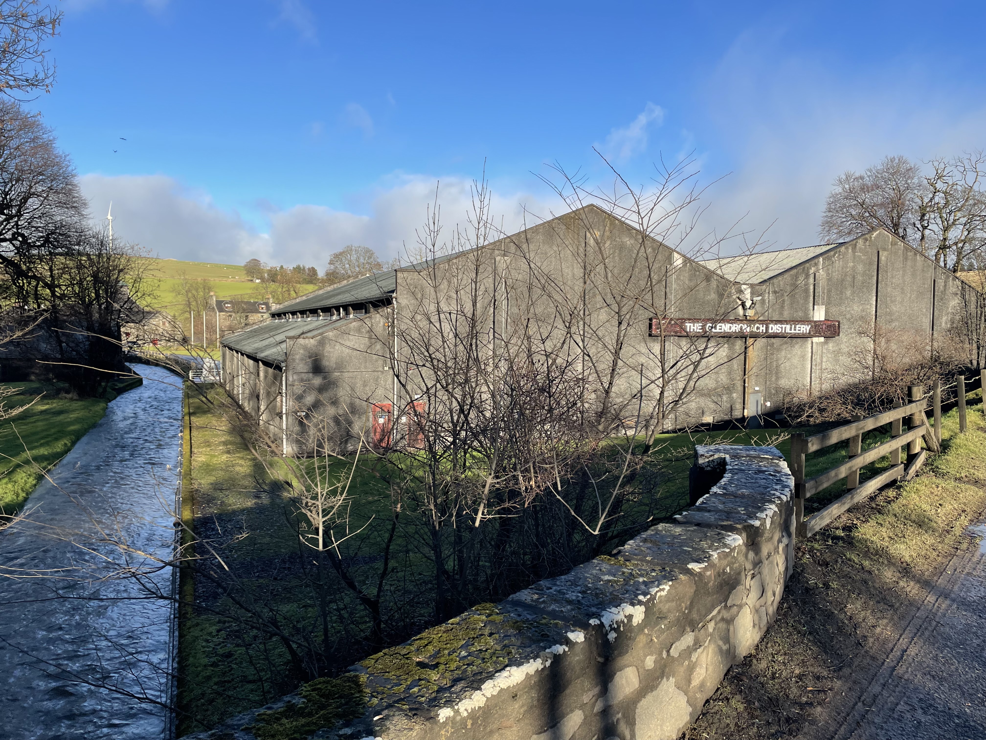
Glendronach distillery
Glendronach distillery is a Scottish whisky distillery located near Forgue, by Huntly, Aberdeenshire, in the Highland whisky district. It was owned by...

Forgue
Forgue is a hamlet in Aberdeenshire. It lies 35 miles (56 km) northwest of Aberdeen and 8 miles (13 km) northeast of Huntly. The Glendronach distillery...

Bogton
Bogton is a rural area in Aberdeenshire, Scotland. To the south is Whitehill Wood and megalithic circle. == References ==
Nearby Amenities
Located within 500m of 57.502966,-2.5839425Have you been to Gouldrie Wood?
Leave your review of Gouldrie Wood below (or comments, questions and feedback).