Lightpipebrae Plantation

Wood, Forest in Roxburghshire

Scotland

Lightpipebrae Plantation

Road, farmland
Road, farmland Credit: Alex McGregor

The requested URL returned error: 429 Too Many Requests

If you have any feedback on the listing, please let us know in the comments section below.

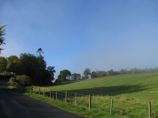
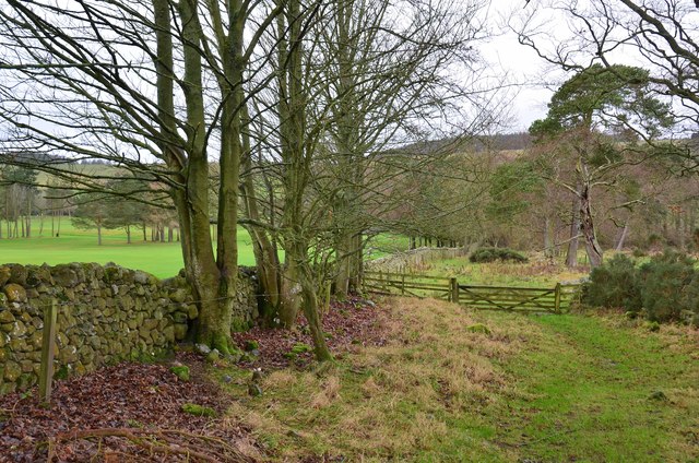
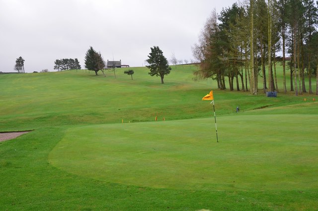
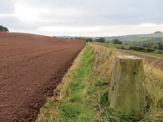
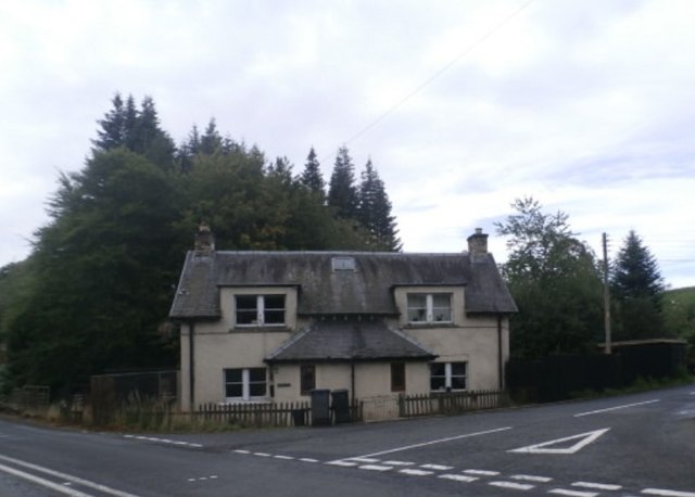
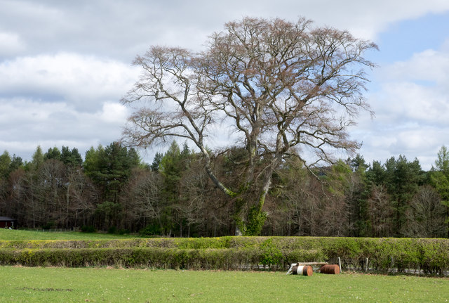
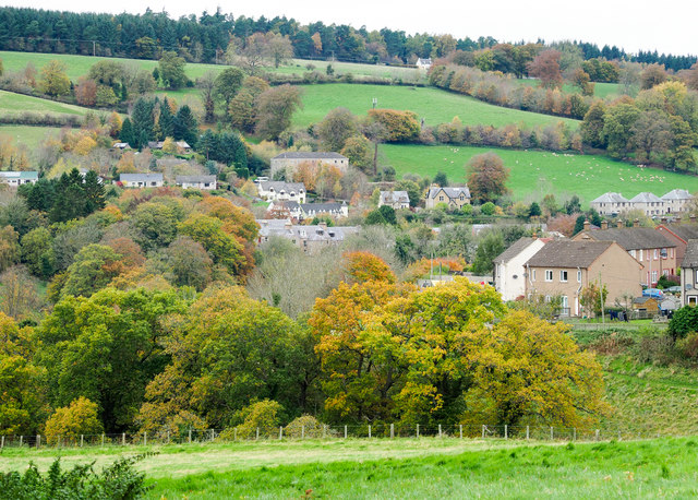
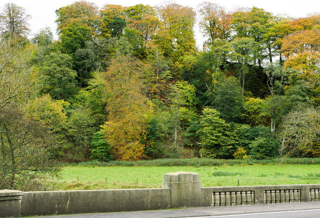
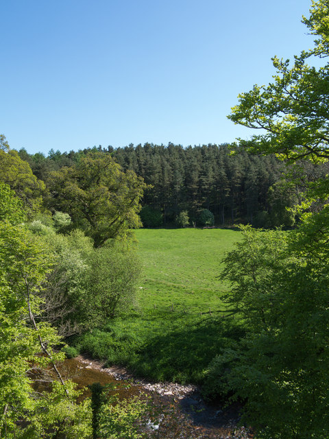
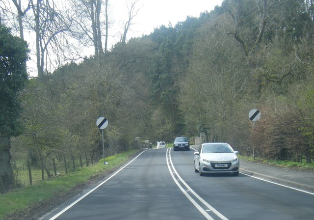
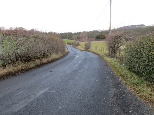
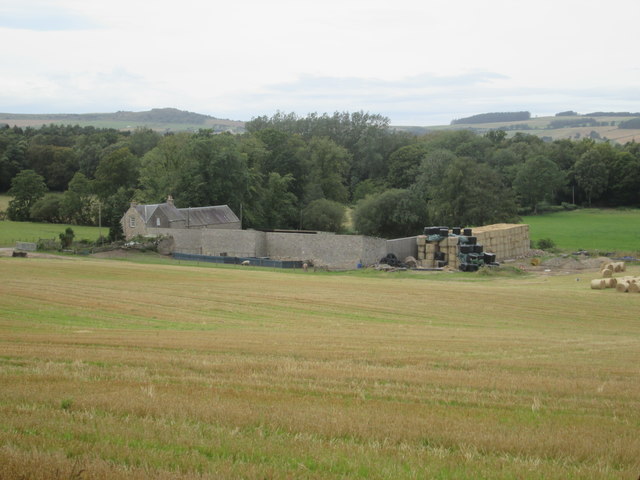
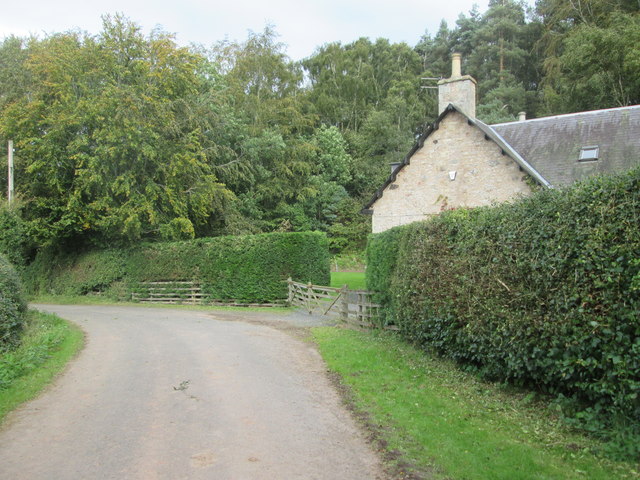
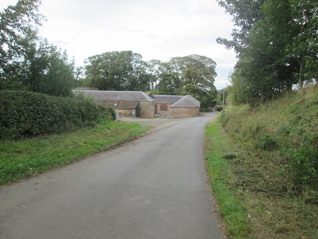
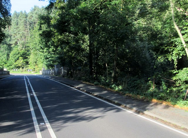
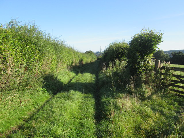
Lightpipebrae Plantation Images

Images are sourced within 2km of 55.466249/-2.5550434 or Grid Reference NT6519. Thanks to Geograph Open Source API. All images are credited.

Road, farmland
Road, farmland
Jedburgh Circular Riding Route near the golf course Here the route crosses the B6358 from Denholm near the golf clubhouse.
Jedburgh Circular Riding Route near the golf course
Here the route crosses the B6358 from Denholm near the golf clubhouse.
Path by Jedburgh Golf Course The path is part of the Circular Riding Route and follows the golf course boundary towards Lanton Hill.
Path by Jedburgh Golf Course
The path is part of the Circular Riding Route and follows the golf course boundary towards Lanton Hill.
Jedburgh Golf Course Looking back up to the clubhouse from the Circular Riding Route.
Jedburgh Golf Course
Looking back up to the clubhouse from the Circular Riding Route.
Field edge view from Howden Triangulation Pillar Looking south-westward.
Field edge view from Howden Triangulation Pillar
Looking south-westward.
Linthaugh Cottage
Linthaugh Cottage
Hedges and oil drums The A68 runs between the two hedge lines. The oil drums appear to be part of a jump for horses - there are other similar things in the field.
Hedges and oil drums
The A68 runs between the two hedge lines. The oil drums appear to be part of a jump for horses - there are other similar things in the field.
Autumnal trees at edge of Howdenburn Glen The Howden Burn (of the Howdenburn Glen) is a minor stream entering the Jed Water to the south of Jedburgh. The houses beyond are of course in the town.
Autumnal trees at edge of Howdenburn Glen
The Howden Burn (of the Howdenburn Glen) is a minor stream entering the Jed Water to the south of Jedburgh. The houses beyond are of course in the town.
Deciduous woodland on slope beyond Hundalee Bridge The trees are on a steep slope with exposed rock. One of the parapets of Hundalee Bridge is in the foreground.
Deciduous woodland on slope beyond Hundalee Bridge
The trees are on a steep slope with exposed rock. One of the parapets of Hundalee Bridge is in the foreground.
Jed Water below the A68 The river, Jed Water, flowing below a steep slope just south of Jedburgh.
Jed Water below the A68
The river, Jed Water, flowing below a steep slope just south of Jedburgh.
A68 at Inchbonny Bridge
Road (B6357) near Lintalee Looking north-eastward towards the A68.
Road (B6357) near Lintalee
Looking north-eastward towards the A68.
Over  field  to  Hunthill  Farm From track from Natural Wood
Over field to Hunthill Farm
From track from Natural Wood
Lane  and  Coach  House The footpath from Hunthill through the woods comes out on to the lane here
Lane and Coach House
The footpath from Hunthill through the woods comes out on to the lane here
Howden  Farm  buildings  alongside  road
Howden Farm buildings alongside road
Approaching  Inchbonny  Bridge  A68  south  of  Jedburgh The A68 crosses and recrosses the Jed Water a number of times in this area
Approaching Inchbonny Bridge A68 south of Jedburgh
The A68 crosses and recrosses the Jed Water a number of times in this area
Hunderlee  Bank  on  A68.  Lightpipebrae  Plantation  on  right Cottage tucked in on the right and at the top of the road on the right the access road to Hundalee
Hunderlee Bank on A68. Lightpipebrae Plantation on right
Cottage tucked in on the right and at the top of the road on the right the access road to Hundalee
Track  to  fields  from  Todlaw  Farm Also route of Borders Abbeys Way to Jedburgh
Track to fields from Todlaw Farm
Also route of Borders Abbeys Way to Jedburgh
Show me another place!

Lightpipebrae Plantation is located at Grid Ref: NT6519 (Lat: 55.466249, Lng: -2.5550434)

Unitary Authority: The Scottish Borders

Police Authority: The Lothians and Scottish Borders

What 3 Words

///storms.duck.clays. Near Jedburgh, Scottish Borders

Related Wikis

Capon Oak Tree

The Capon Oak Tree is one of the last surviving trees of the ancient Scottish Jedforest. It is close to the A68 and Jed Water, a small river which has...

Jedforest

Jedforest is an historic forest in the Scottish Borders, that has been heavily wooded in the past. It is close to Jed Water and the town of Jedburgh, from...

Jedburgh Castle

Jedburgh Castle was a castle at Jedburgh in Scotland. It was fought over during the Wars of Scottish Independence, and was demolished by the Scots commanded...

Jedburgh Abbey

Jedburgh Abbey, a ruined Augustinian abbey which was founded in the 12th century, is situated in the town of Jedburgh, in the Scottish Borders 10 miles...

Nearby Amenities

Located within 500m of 55.466249,-2.5550434
Give Way
Direction: forward
Lat/Long: 55.4634072/-2.5527031
Grit Bin
Source: survey
Lat/Long: 55.4651478/-2.5534328
Power: pole
Lat/Long: 55.4645723/-2.5609795
Power: pole
Lat/Long: 55.4649204/-2.5597223
Power: pole
Lat/Long: 55.4652973/-2.5584231
Power: pole
Lat/Long: 55.4661518/-2.5580171
Power: pole
Lat/Long: 55.4670322/-2.5576212
Power: pole
Lat/Long: 55.4678924/-2.5572456
Power: pole
Lat/Long: 55.4685138/-2.5569817
Power: pole
Lat/Long: 55.4691393/-2.5567269
Power: pole
Lat/Long: 55.4703921/-2.5560072
Scaurs
Place: isolated_dwelling
Lat/Long: 55.4675969/-2.5526585
Noexit: yes
Lat/Long: 55.4620831/-2.5565506
Noexit: yes
Lat/Long: 55.4623953/-2.5556832
Noexit: yes
Lat/Long: 55.4632917/-2.5555905
Noexit: yes
Lat/Long: 55.4664539/-2.5591187
Noexit: yes
Lat/Long: 55.4678082/-2.5527073
Barrier: stile
Lat/Long: 55.4622261/-2.5531076
Give Way
Direction: forward
Lat/Long: 55.4649567/-2.5531921
Give Way
Direction: forward
Lat/Long: 55.4629639/-2.5527658
Addr Housenumber: 50
Addr Street: Allerley Crescent
Entrance: yes
Lat/Long: 55.4695715/-2.5509864
Addr Housenumber: 68
Addr Street: Allerley Crescent
Entrance: yes
Lat/Long: 55.4695809/-2.5498964
Addr Housenumber: 62
Addr Street: Allerley Crescent
Entrance: yes
Lat/Long: 55.4695537/-2.550195
Addr Housenumber: 46
Addr Street: Allerley Crescent
Entrance: yes
Lat/Long: 55.4697044/-2.5511551
Addr Housenumber: 33
Addr Street: Allerley Crescent
Entrance: yes
Lat/Long: 55.4697536/-2.5504788
Addr Housenumber: 35
Addr Street: Allerley Crescent
Entrance: yes
Lat/Long: 55.4697625/-2.5503742
Addr Housenumber: 39
Addr Street: Allerley Crescent
Entrance: yes
Lat/Long: 55.4697807/-2.5501605
Addr Housenumber: 58
Addr Street: Allerley Crescent
Entrance: yes
Lat/Long: 55.469534/-2.5504587
Addr Housenumber: 27
Addr Street: Allerley Crescent
Entrance: yes
Lat/Long: 55.470048/-2.5509104
Addr Housenumber: 29
Addr Street: Allerley Crescent
Entrance: yes
Lat/Long: 55.4699188/-2.5508388
Addr Housenumber: 40
Addr Street: Allerley Crescent
Entrance: yes
Lat/Long: 55.4699922/-2.551263
Addr Housenumber: 38
Addr Street: Allerley Crescent
Entrance: yes
Lat/Long: 55.4700496/-2.5512796
Addr Housenumber: 66
Addr Street: Allerley Crescent
Entrance: yes
Lat/Long: 55.4695914/-2.5497717
Addr Housenumber: 42
Addr Street: Allerley Crescent
Entrance: yes
Lat/Long: 55.4698654/-2.5512267
Addr Housenumber: 31
Addr Street: Allerley Crescent
Entrance: yes
Lat/Long: 55.4698759/-2.5508254
Addr Housenumber: 60
Addr Street: Allerley Crescent
Entrance: yes
Lat/Long: 55.469544/-2.5503449
Addr Housenumber: 37
Addr Street: Allerley Crescent
Entrance: yes
Lat/Long: 55.4697754/-2.550223
Addr Housenumber: 34
Addr Street: Allerley Crescent
Entrance: yes
Lat/Long: 55.4702/-2.5513229
Addr Housenumber: 56
Addr Street: Allerley Crescent
Entrance: yes
Lat/Long: 55.4695218/-2.5505925
Addr Housenumber: 64
Addr Street: Allerley Crescent
Entrance: yes
Lat/Long: 55.4695639/-2.5500733
Addr Housenumber: 48
Addr Street: Allerley Crescent
Entrance: yes
Lat/Long: 55.4696706/-2.5511118
Addr Housenumber: 44
Addr Street: Allerley Crescent
Entrance: yes
Lat/Long: 55.4698183/-2.5512147
Addr Housenumber: 52
Addr Street: Allerley Crescent
Entrance: yes
Lat/Long: 55.4695435/-2.5509025
Addr Housenumber: 54
Addr Street: Allerley Crescent
Entrance: yes
Lat/Long: 55.4695122/-2.5506931
Addr Housenumber: 36
Addr Street: Allerley Crescent
Entrance: yes
Lat/Long: 55.470137/-2.5513047
Power: pole
Lat/Long: 55.462055/-2.5572362
Power: pole
Lat/Long: 55.4647314/-2.5576674
Power: pole
Lat/Long: 55.4640643/-2.5567919
Power: pole
Lat/Long: 55.4635782/-2.5561585
Power: pole
Lat/Long: 55.4683501/-2.5512963
Power: pole
Lat/Long: 55.4683822/-2.5507864
Power: pole
Lat/Long: 55.4685179/-2.5489221
The data included in this document is from www.openstreetmap.org. The data is made available under ODbL.

Have you been to Lightpipebrae Plantation?

Leave your review of Lightpipebrae Plantation below (or comments, questions and feedback).