Old Howden Strip

Wood, Forest in Roxburghshire

Scotland

Old Howden Strip

Field edge view from Howden Triangulation Pillar Looking south-westward.
Field edge view from Howden Triangulation Pillar Credit: Peter Wood

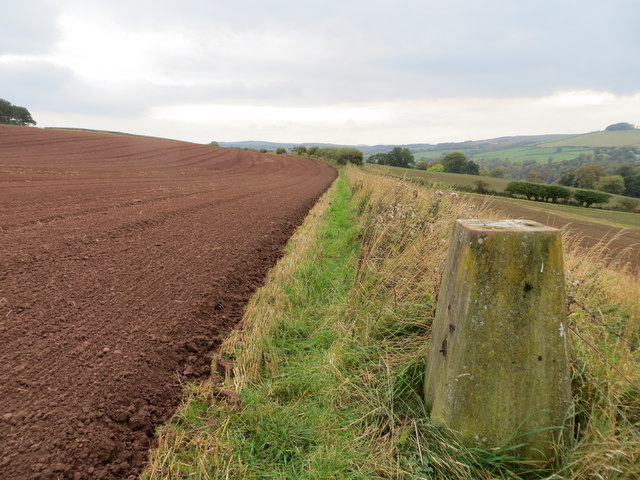
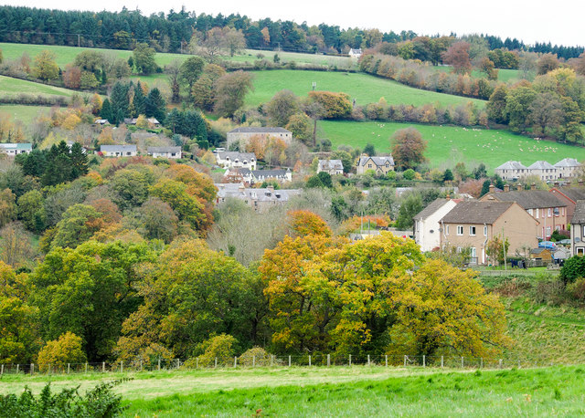
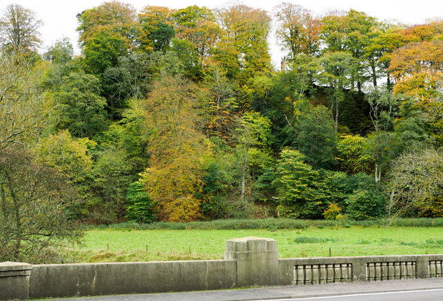
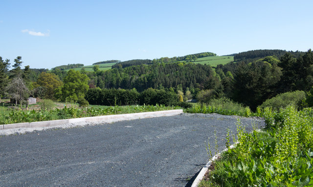
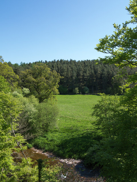
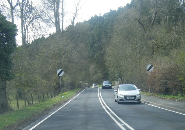
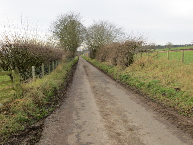
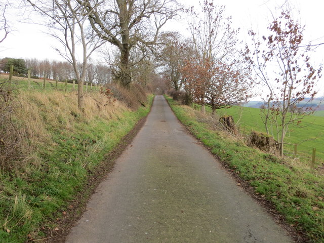
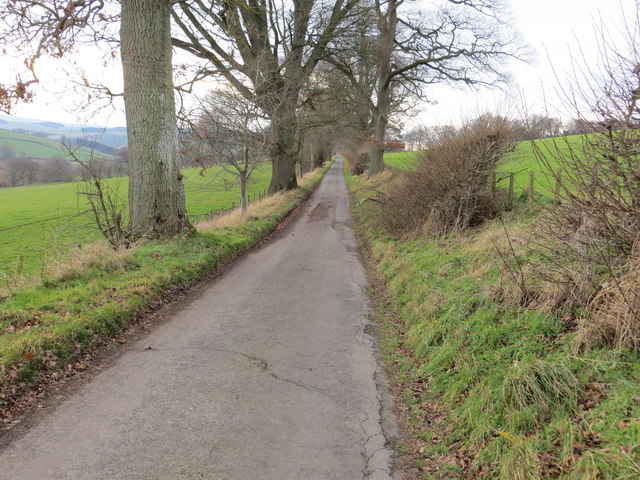
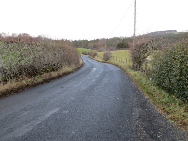
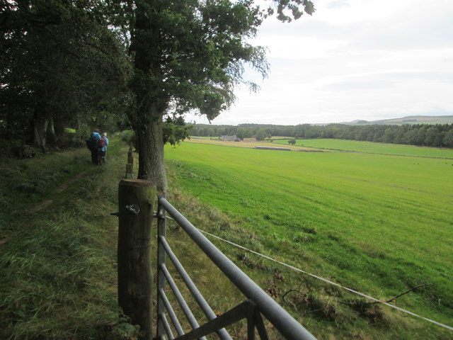
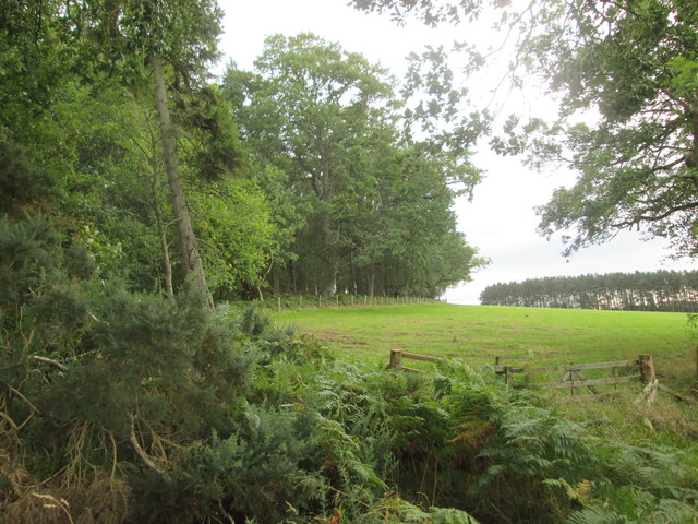
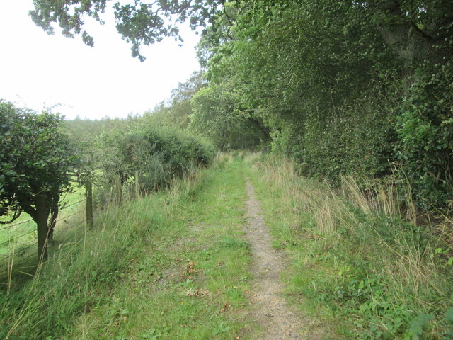
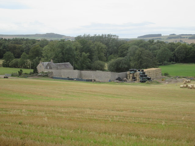
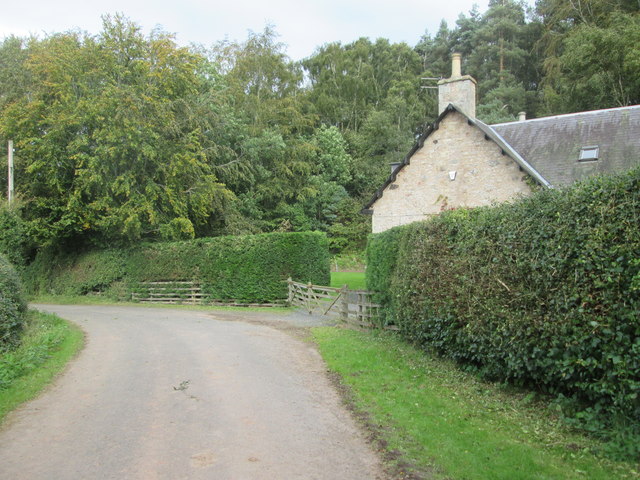
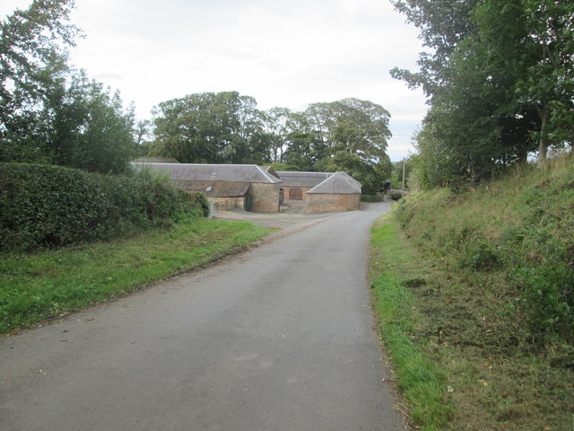
Old Howden Strip is a serene and picturesque wood located in Roxburghshire, Scotland. Covering an area of approximately 200 acres, this enchanting forest is a haven for nature lovers and outdoor enthusiasts. Situated near the village of Howden, the wood is easily accessible and offers a tranquil escape from the hustle and bustle of daily life.

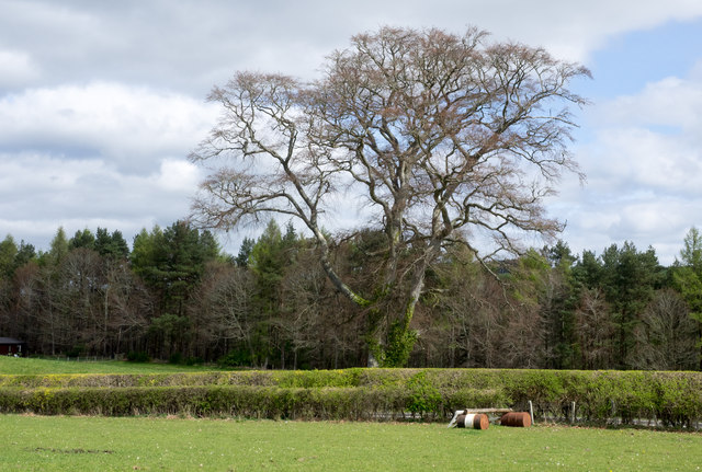
The wood is primarily composed of native Scottish tree species, including oak, birch, and pine, which create a diverse and vibrant ecosystem. Walking through Old Howden Strip, visitors can admire the rich and varied flora, with colorful wildflowers carpeting the forest floor during spring and summer months.

The wood is also home to a wide range of wildlife, making it a popular spot for birdwatching and wildlife observation. Nature enthusiasts can spot various bird species such as woodpeckers, finches, and owls, as well as mammals like red squirrels, deer, and badgers.

A network of well-maintained trails traverses Old Howden Strip, offering visitors the opportunity to explore the wood at their leisure. These paths wind through the forest, providing stunning views of the surrounding countryside and allowing visitors to immerse themselves in the natural beauty of the area.

Old Howden Strip is not only a haven for wildlife and nature lovers but also a valuable ecological site. The wood plays a crucial role in preserving native Scottish woodlands and is actively managed to ensure the conservation of its natural resources.

Overall, Old Howden Strip in Roxburghshire is a captivating wood that offers visitors a chance to reconnect with nature and experience the beauty of the Scottish countryside.

If you have any feedback on the listing, please let us know in the comments section below.

Old Howden Strip Images

Images are sourced within 2km of 55.46408/-2.5398616 or Grid Reference NT6519. Thanks to Geograph Open Source API. All images are credited.

Field edge view from Howden Triangulation Pillar Looking south-westward.
Field edge view from Howden Triangulation Pillar
Looking south-westward.
Linthaugh Cottage
Linthaugh Cottage
Hedges and oil drums The A68 runs between the two hedge lines. The oil drums appear to be part of a jump for horses - there are other similar things in the field.
Hedges and oil drums
The A68 runs between the two hedge lines. The oil drums appear to be part of a jump for horses - there are other similar things in the field.
Autumnal trees at edge of Howdenburn Glen The Howden Burn (of the Howdenburn Glen) is a minor stream entering the Jed Water to the south of Jedburgh. The houses beyond are of course in the town.
Autumnal trees at edge of Howdenburn Glen
The Howden Burn (of the Howdenburn Glen) is a minor stream entering the Jed Water to the south of Jedburgh. The houses beyond are of course in the town.
Deciduous woodland on slope beyond Hundalee Bridge The trees are on a steep slope with exposed rock. One of the parapets of Hundalee Bridge is in the foreground.
Deciduous woodland on slope beyond Hundalee Bridge
The trees are on a steep slope with exposed rock. One of the parapets of Hundalee Bridge is in the foreground.
A road going nowhere A curious stretch of road! It's broad as it leaves the A68 to the west but it ends within perhaps 30 metres of the junction and the height of the kerbstones and roughness of surface shows that no 'black top' has been applied. Beyond the road end a slope descends so steeply towards the Jed Water that is seems unlikely that it would continue directly in that direction.
A road going nowhere
A curious stretch of road! It's broad as it leaves the A68 to the west but it ends within perhaps 30 metres of the junction and the height of the kerbstones and roughness of surface shows that no 'black top' has been applied. Beyond the road end a slope descends so steeply towards the Jed Water that is seems unlikely that it would continue directly in that direction.
Jed Water below the A68 The river, Jed Water, flowing below a steep slope just south of Jedburgh.
Jed Water below the A68
The river, Jed Water, flowing below a steep slope just south of Jedburgh.
A68 at Inchbonny Bridge
Fence and hedge-lined minor road approaching Scraesburgh Looking south-westward.
Fence and hedge-lined minor road approaching Scraesburgh
Looking south-westward.
Minor road approaching Violet Strip Looking north-eastward.
Minor road approaching Violet Strip
Looking north-eastward.
Minor road heading in the direction of Mossburnford Looking south-westward.
Minor road heading in the direction of Mossburnford
Looking south-westward.
Road (B6357) near Lintalee Looking north-eastward towards the A68.
Road (B6357) near Lintalee
Looking north-eastward towards the A68.
Footpath  coming  out  of  Natural  Wood  onto  farmland The footpath then becomes a track to fields. Looking toward Hunthill Farm
Footpath coming out of Natural Wood onto farmland
The footpath then becomes a track to fields. Looking toward Hunthill Farm
Field  and  edge  of  Natural  Wood
Field and edge of Natural Wood
Footpath  back  into  Natural  Wood
Footpath back into Natural Wood
Over  field  to  Hunthill  Farm From track from Natural Wood
Over field to Hunthill Farm
From track from Natural Wood
Lane  and  Coach  House The footpath from Hunthill through the woods comes out on to the lane here
Lane and Coach House
The footpath from Hunthill through the woods comes out on to the lane here
Howden  Farm  buildings  alongside  road
Howden Farm buildings alongside road
Show me another place!

Old Howden Strip is located at Grid Ref: NT6519 (Lat: 55.46408, Lng: -2.5398616)

Unitary Authority: The Scottish Borders

Police Authority: The Lothians and Scottish Borders

What 3 Words

///yesterday.brightens.backup. Near Jedburgh, Scottish Borders

Related Wikis

Capon Oak Tree

The Capon Oak Tree is one of the last surviving trees of the ancient Jedforest, close to Jed Water, a small river which has cut a course below soft sandstone...

Jedforest

Jedforest is an historic forest in the Scottish Borders, that has been heavily wooded in the past. It is close to Jed Water and the town of Jedburgh, from...

Ferniehirst Castle

Ferniehirst Castle (sometimes spelled Ferniehurst) is an L-shaped construction on the east bank of the Jed Water, about a mile and a half south of Jedburgh...

Jedburgh

Jedburgh (; Scottish Gaelic: Deadard; Scots: Jeddart or Jethart) is a town and former royal burgh in the Scottish Borders and the traditional county town...

Jedburgh Abbey

Jedburgh Abbey, a ruined Augustinian abbey which was founded in the 12th century, is situated in the town of Jedburgh, in the Scottish Borders 10 miles...

Jedburgh Castle

Jedburgh Castle was a castle at Jedburgh in Scotland. It was fought over during the Wars of Scottish Independence, and was demolished by the Scots commanded...

Canongate Bridge

The Canongate Bridge is a pedestrian bridge in the Scottish Borders town of Jedburgh. It was built as the town's main bridge over the Jed Water in the...

Jedburgh Library

Jedburgh Library is now housed in the second building built for Andrew Carnegie in Jedburgh at a cost of £1,700. It was one of the many libraries built...

Nearby Amenities

Located within 500m of 55.46408,-2.5398616
Power: pole
Lat/Long: 55.4671093/-2.5382399
Power: pole
Lat/Long: 55.4675604/-2.5375652
Power: pole
Lat/Long: 55.4681727/-2.5410815
Power: pole
Lat/Long: 55.4678903/-2.5399973
Power: pole
Lat/Long: 55.4674859/-2.5390703
Power: pole
Lat/Long: 55.4668919/-2.5377313
Power: pole
Lat/Long: 55.4664291/-2.5366395
Power: pole
Lat/Long: 55.4659912/-2.535661
Power: pole
Lat/Long: 55.4654672/-2.5344585
Power: pole
Lat/Long: 55.464657/-2.5324526
Power: pole
Lat/Long: 55.4662189/-2.5330809
The data included in this document is from www.openstreetmap.org. The data is made available under ODbL.

Have you been to Old Howden Strip?

Leave your review of Old Howden Strip below (or comments, questions and feedback).