Damside Wood

Wood, Forest in Angus

Scotland

Damside Wood

Dun school house Although the building attached to this house is still shown as a school on the OS map, there's little to suggest that it is still open in the way of signage etc.
Dun school house Credit: Gordon Hatton

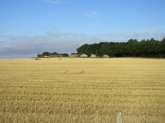
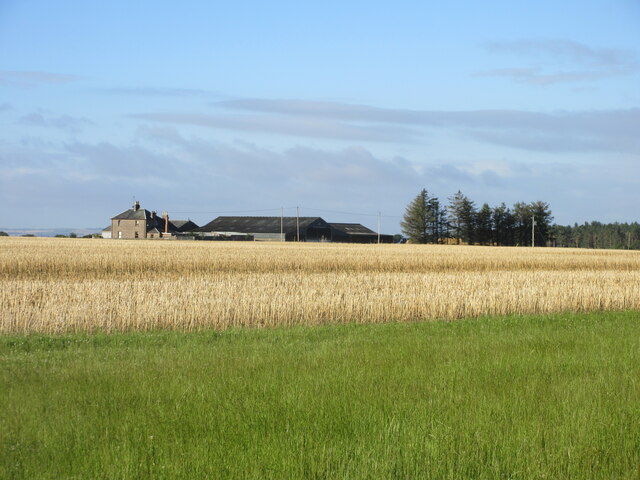
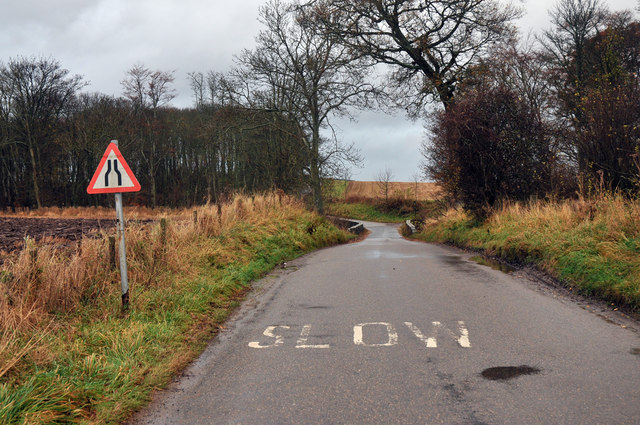
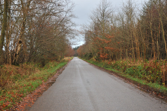
Damside Wood is a picturesque woodland situated in Angus, Scotland. Covering an area of approximately 50 acres, it is a popular destination for nature lovers and outdoor enthusiasts. The wood is located near the town of Forfar and is easily accessible via a well-maintained footpath.

The woodland is primarily composed of native broadleaf trees, including oak, ash, birch, and beech, which create a dense canopy, providing shade and shelter for a variety of wildlife. The forest floor is covered in a carpet of bluebells during the spring, creating a stunning display of color. The wood is also home to a diverse range of plant species, including ferns, mosses, and lichens.

Birdwatchers will find Damside Wood particularly enticing as it attracts a plethora of avian species. Visitors may spot woodpeckers, jays, robins, and various species of tits among the treetops. The wood is also frequented by small mammals such as red squirrels, badgers, and foxes, adding to its ecological richness.

For outdoor enthusiasts, there are several well-marked trails within the wood, allowing for leisurely walks and hikes. The peaceful ambiance and tranquil surroundings make it an ideal place for relaxation and mindfulness. Additionally, there are designated picnic areas where visitors can enjoy a packed lunch amidst the natural beauty.

Damside Wood offers a unique opportunity to immerse oneself in the serenity of nature, providing a welcome escape from the hustle and bustle of everyday life. Whether it's a leisurely stroll or a birdwatching expedition, this woodland has something to offer for everyone.

If you have any feedback on the listing, please let us know in the comments section below.
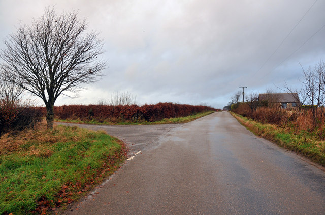
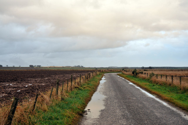
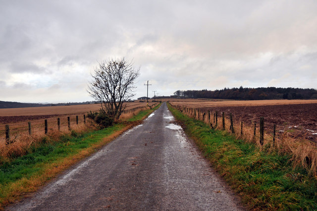
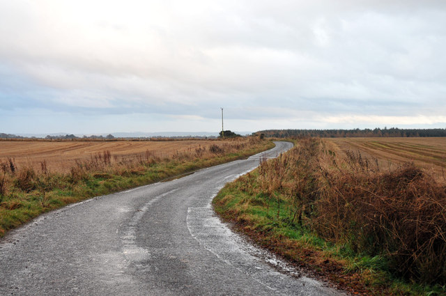
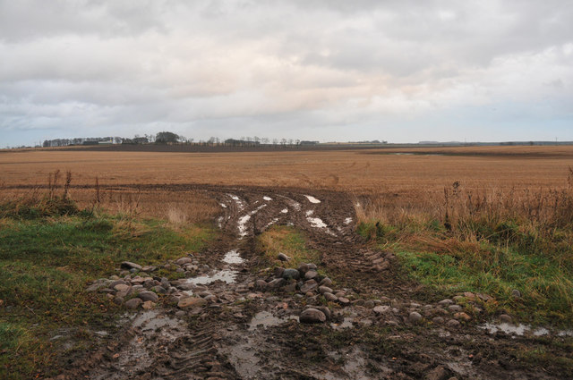
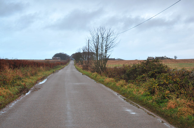
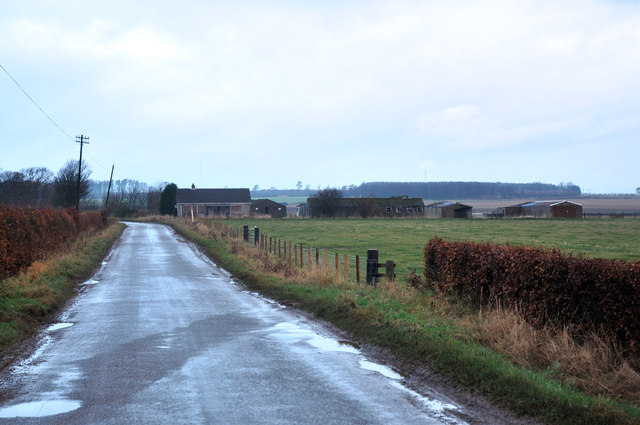
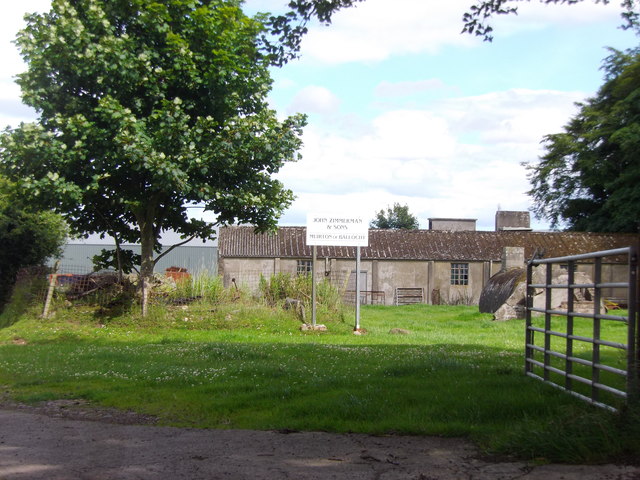
Damside Wood Images

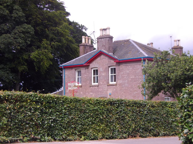
Images are sourced within 2km of 56.743011/-2.5742731 or Grid Reference NO6461. Thanks to Geograph Open Source API. All images are credited.

Dun school house Although the building attached to this house is still shown as a school on the OS map, there's little to suggest that it is still open in the way of signage etc.
Dun school house
Although the building attached to this house is still shown as a school on the OS map, there's little to suggest that it is still open in the way of signage etc.
Stubble field at Leightonhill Looking west over a harvested field, with Leightonhill beyond.
Stubble field at Leightonhill
Looking west over a harvested field, with Leightonhill beyond.
Damside from the north-east Looking south-west from the roadside to Damside.
Damside from the north-east
Looking south-west from the roadside to Damside.
Road and bridge at Den of Dun
Road at North Dun
Road at North Dun
Road junction near North Dun
Minor road near Dun
Minor road near Dun
Minor road near Dun
Minor road near Dun
Minor road at Leightonhill
Farmland at Leightonhill
Minor road near Ballochy
Wartime buildings near Stracathro
Muirton of Ballochy Old RAF wartime airfield buildings are now part of a commercial farming enterprise here, on a minor road between Dun and Stracathro. <span class="nowrap"><a title="http://www.visitangus.com/directory_record/21009/john_zimmerman_and_sons" rel="nofollow ugc noopener" href="http://www.visitangus.com/directory_record/21009/john_zimmerman_and_sons">Link</a><img style="margin-left:2px;" alt="External link" title="External link - shift click to open in new window" src="https://s1.geograph.org.uk/img/external.png" width="10" height="10"/></span>
Muirton of Ballochy
Old RAF wartime airfield buildings are now part of a commercial farming enterprise here, on a minor road between Dun and Stracathro. LinkExternal link
Muirton of Ballochy farmhouse With farm name sign in the garden.
Muirton of Ballochy farmhouse
With farm name sign in the garden.
Former Dun Schoolhouse Viewed from Dun and Hillside kirkyard; with Leys of Dun farm on the skyline to its left.
Former Dun Schoolhouse
Viewed from Dun and Hillside kirkyard; with Leys of Dun farm on the skyline to its left.
Cottages and RAF buildings These are some of the buildings still remaining from RAF Stracathro
Cottages and RAF buildings
These are some of the buildings still remaining from RAF Stracathro
RAF Building This is one of the many buildings still standing at RAF Stracathro
RAF Building
This is one of the many buildings still standing at RAF Stracathro
Show me another place!

Damside Wood is located at Grid Ref: NO6461 (Lat: 56.743011, Lng: -2.5742731)

Unitary Authority: Angus

Police Authority: Tayside

What 3 Words

///motive.flap.arriving. Near Brechin, Angus

Nearby Locations

Damside Wood

Related Wikis

Dun, Angus

Dun is a rural parish in Angus, Scotland. It contains the House of Dun, home of the Erskine family and is a stop on the Caledonian Railway. It is located...
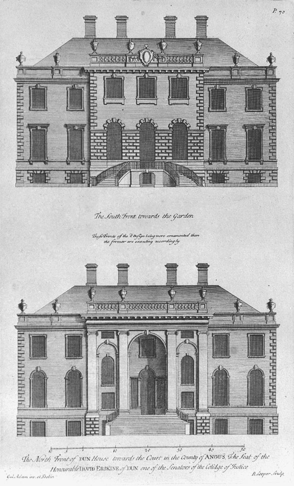
House of Dun

The House of Dun is a National Trust for Scotland property in the parish of Dun, lying close to the edge of Montrose Basin and situated approximately halfway...

Bridge of Dun railway station

Bridge of Dun is a privately owned station in Angus. The adjacent platforms and line are independently operated as a preserved railway by the Caledonian...

Bridge of Dun

Bridge of Dun is a village in Angus, Scotland, located north of the River South Esk and south of the A935 road from Brechin to Montrose. == History... ==

Nearby Amenities

Located within 500m of 56.743011,-2.5742731
Power: pole
Lat/Long: 56.7425954/-2.5810246
Power: pole
Lat/Long: 56.7430236/-2.5812166
Power: pole
Lat/Long: 56.7435996/-2.581484
The data included in this document is from www.openstreetmap.org. The data is made available under ODbL.

Have you been to Damside Wood?

Leave your review of Damside Wood below (or comments, questions and feedback).