Horseshoe Plantation

Wood, Forest in Berwickshire

Scotland

Horseshoe Plantation

Information Board at Greenknowe Tower Including reference to Walter Pringle, a Covenanter.
Information Board at Greenknowe Tower Credit: Becky Williamson

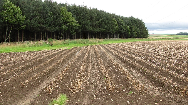
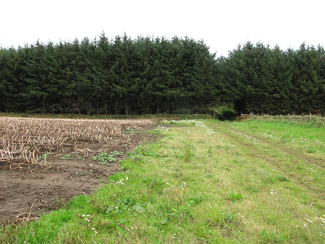
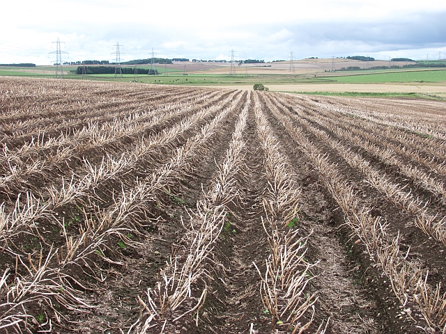
Horseshoe Plantation is a sprawling woodland located in the picturesque region of Berwickshire in Scotland. Covering an area of approximately 500 acres, this forested area is known for its rich biodiversity and stunning natural beauty. The plantation is characterized by a mix of native tree species such as oak, beech, and birch, as well as a variety of shrubs, ferns, and wildflowers that thrive in the damp and fertile soil.

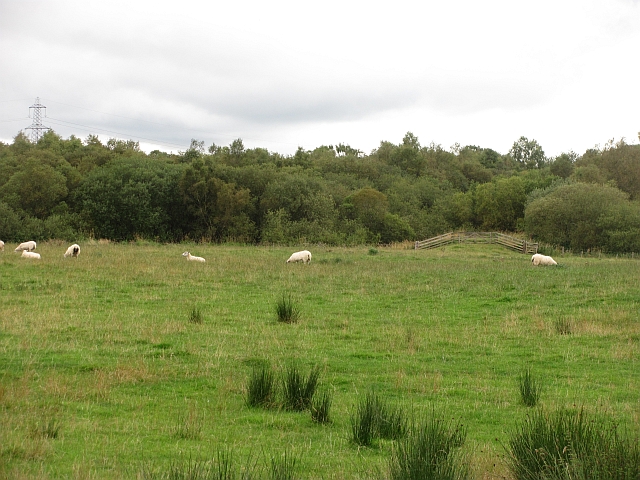
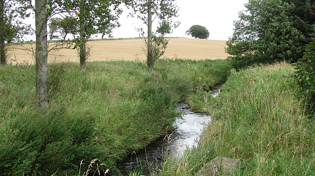
The landscape of Horseshoe Plantation is dominated by rolling hills, meandering streams, and dense woodland, creating a tranquil and secluded atmosphere that is perfect for hiking, birdwatching, and other outdoor activities. The forest is also home to a diverse array of wildlife, including deer, foxes, badgers, and a variety of bird species.

Visitors to Horseshoe Plantation can explore a network of well-maintained trails that wind through the forest, offering breathtaking views of the surrounding countryside and opportunities to observe the local flora and fauna up close. Whether you are a nature enthusiast, a hiker, or simply looking to escape the hustle and bustle of everyday life, Horseshoe Plantation is a must-visit destination for anyone seeking a peaceful and rejuvenating experience in the heart of nature.

If you have any feedback on the listing, please let us know in the comments section below.

Horseshoe Plantation Images

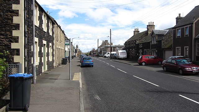
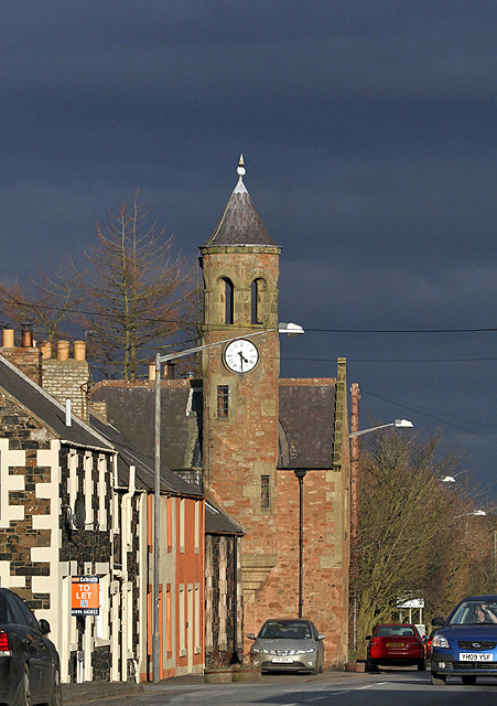
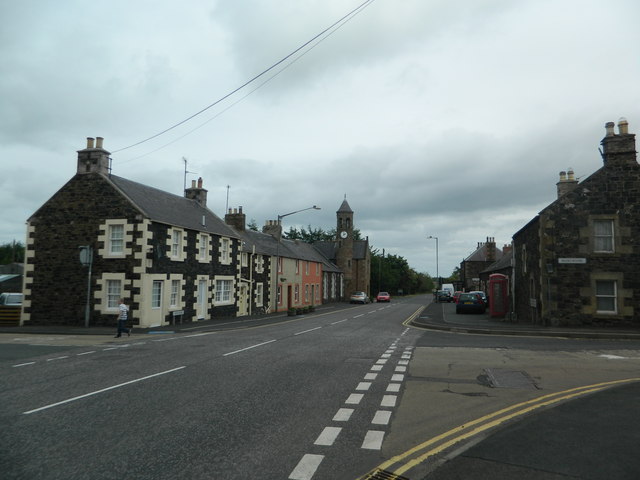
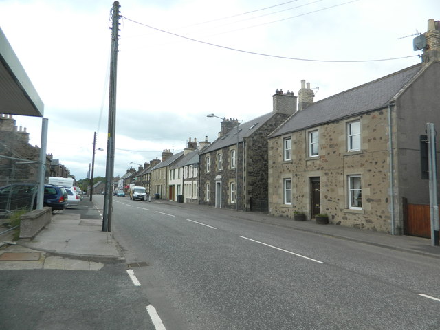
Images are sourced within 2km of 55.662597/-2.5576928 or Grid Reference NT6541. Thanks to Geograph Open Source API. All images are credited.

Information Board at Greenknowe Tower Including reference to Walter Pringle, a Covenanter.
Information Board at Greenknowe Tower
Including reference to Walter Pringle, a Covenanter.
Wheat field and power lines Power lines leaving Eccles substation for Galashiels and Smeaton substation near Dalkeith.
Wheat field and power lines
Power lines leaving Eccles substation for Galashiels and Smeaton substation near Dalkeith.
Bridge over the Eden Water Taken just before I was told to put my (non-existent) dog on a lead.
Bridge over the Eden Water
Taken just before I was told to put my (non-existent) dog on a lead.
Potato field The plants have been defoliated and the crop will soon be lifted.
Potato field
The plants have been defoliated and the crop will soon be lifted.
A small woodland A small coniferous plantation breaks up a predominantly arable landscape near the Eden Water.
A small woodland
A small coniferous plantation breaks up a predominantly arable landscape near the Eden Water.
Potato field The plants have been defoliated and soon the crop will be lifted.
Potato field
The plants have been defoliated and soon the crop will be lifted.
Gordon Moss The course of the Berwickshire Railway across the bogs of Gordon Moss.
Gordon Moss
The course of the Berwickshire Railway across the bogs of Gordon Moss.
Eden Water A wooded section of the Eden Water. The surrounding land is mainly arable.
Eden Water
A wooded section of the Eden Water. The surrounding land is mainly arable.
Historic Scotland sign, Greenknowe Tower
Hardiesmill Place
Hardiesmill Place
A woodland edge at Fans
A field edge at Fans Hill Badger tracks were imprinted in the soil along the edge of this field of winter crops at Fans Hill. The rich red soil in this area comes from a layer of old red sandstone. For a close up view of the badger tracks, see <a href="https://www.geograph.org.uk/photo/2758923">NT6340 : Badger tracks at Fans Hill</a>.
A field edge at Fans Hill
Badger tracks were imprinted in the soil along the edge of this field of winter crops at Fans Hill. The rich red soil in this area comes from a layer of old red sandstone. For a close up view of the badger tracks, see NT6340 : Badger tracks at Fans Hill.
An arable field at Fans Hill
Main Street, Gordon A6105, Greenlaw to Earlston Road.
Main Street, Gordon
A6105, Greenlaw to Earlston Road.
The A6105 through Gordon A burst of late afternoon sunshine against a dark sky has highlighted the former Old Free Church at the east end of the village. The church was built in 1843 and a clock tower and bell-turret was added in 1893. The building has been converted into a dwelling house.
The A6105 through Gordon
A burst of late afternoon sunshine against a dark sky has highlighted the former Old Free Church at the east end of the village. The church was built in 1843 and a clock tower and bell-turret was added in 1893. The building has been converted into a dwelling house.
Greenknowe Tower To the west of the village of Gordon.
Greenknowe Tower
To the west of the village of Gordon.
Eden Rd, Gordon
Eden Rd, Gordon
Main St, Gordon
Main St, Gordon
Show me another place!

Horseshoe Plantation is located at Grid Ref: NT6541 (Lat: 55.662597, Lng: -2.5576928)

Unitary Authority: The Scottish Borders

Police Authority: The Lothians and Scottish Borders

What 3 Words

///dolphins.additives.innocence. Near Earlston, Scottish Borders

Related Wikis

Gordon, Scottish Borders

Gordon is a village in the Scottish Borders area of Scotland, within the historic county of Berwickshire. The village sits on the crossroads of the A6105...
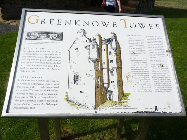
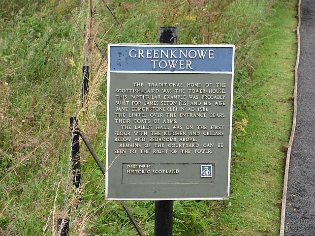
Greenknowe Tower

Greenknowe Tower is a 16th-century tower house, located just west of the village of Gordon, in the Scottish Borders. Although a roofless ruin, the stonework...

Gordon Moss

Gordon Moss is a nature reserve near Gordon, in the Scottish Borders area of Scotland, in the former Berwickshire. The moss is situated one mile west of...

Mellerstain House

Mellerstain House is a stately home around 8 miles (13 kilometres) north of Kelso in the Borders, Scotland. It is currently the home of George Baillie...

Nearby Amenities

Located within 500m of 55.662597,-2.5576928
Give Way
Direction: forward
Lat/Long: 55.6660638/-2.5528887
Power: pole
Lat/Long: 55.6609187/-2.5649412
Power: pole
Lat/Long: 55.6616619/-2.5653526
The data included in this document is from www.openstreetmap.org. The data is made available under ODbL.

Have you been to Horseshoe Plantation?

Leave your review of Horseshoe Plantation below (or comments, questions and feedback).