Nettyhaugh Plantation
Wood, Forest in Kincardineshire
Scotland
Nettyhaugh Plantation
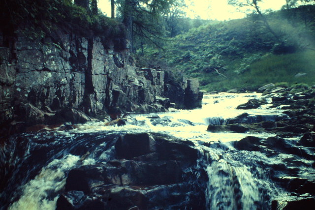
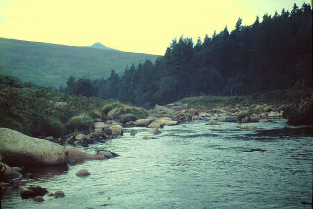
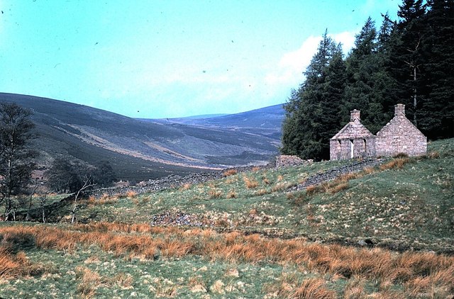
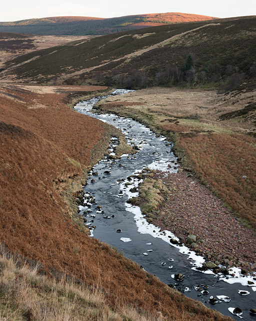
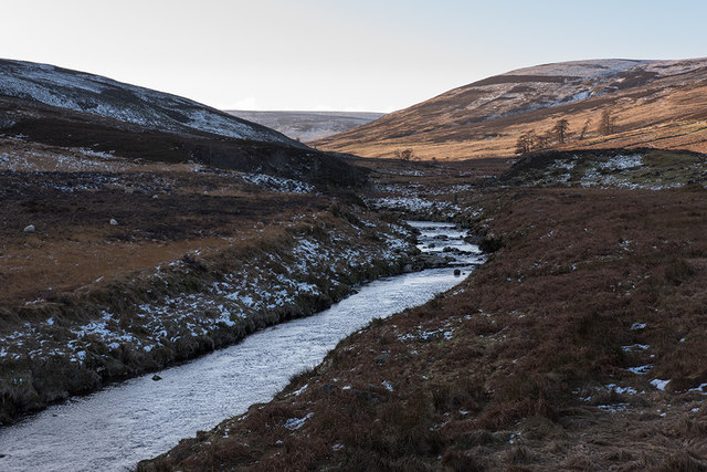
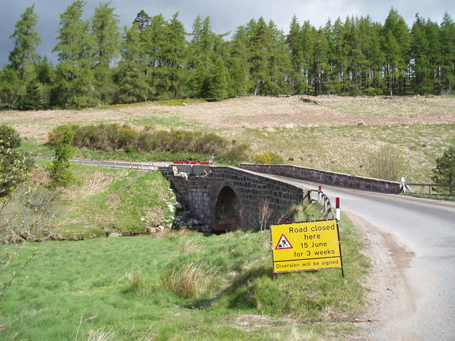
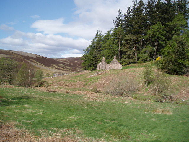
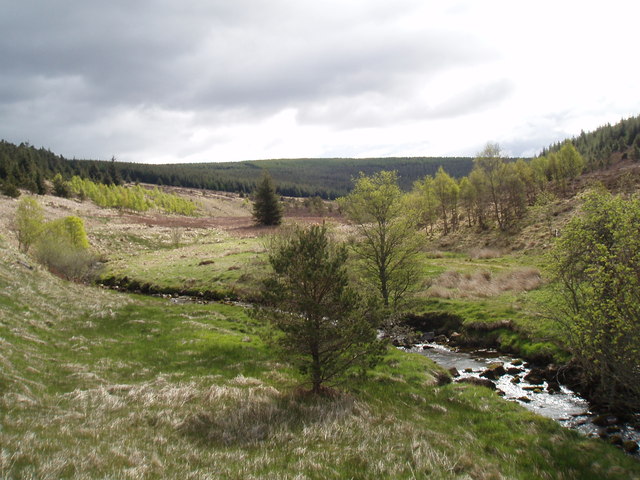
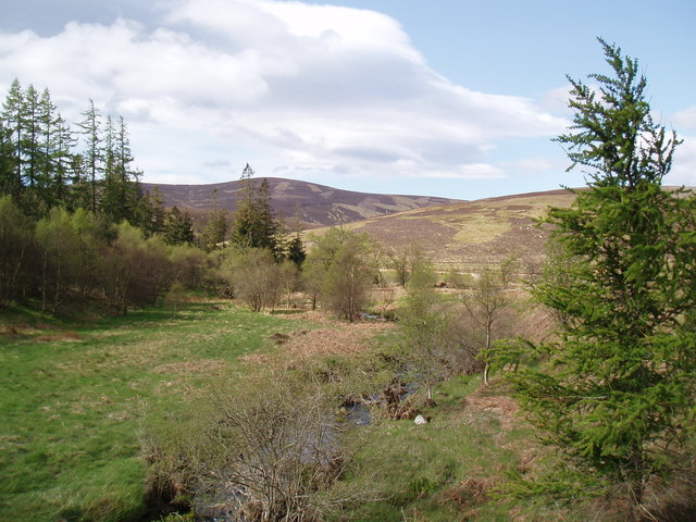
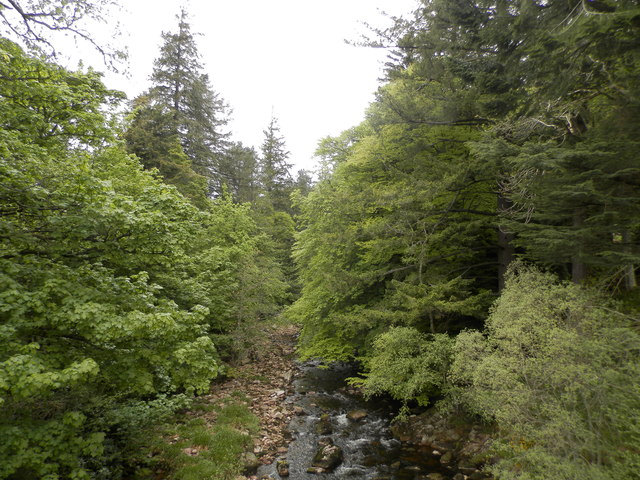
Nettyhaugh Plantation is a picturesque woodland located in the region of Kincardineshire, Scotland. Covering an area of approximately 200 acres, it is a stunning example of a well-managed and diverse forest. The plantation is situated near the village of Drumoak, nestled between the River Dee and the Hill of Fare, providing a beautiful backdrop of natural surroundings.
The woodland is predominantly made up of native tree species such as Scots pine, birch, oak, and rowan. These trees create a dense canopy that provides habitat and shelter for a wide variety of wildlife, including red squirrels, roe deer, and a plethora of bird species.
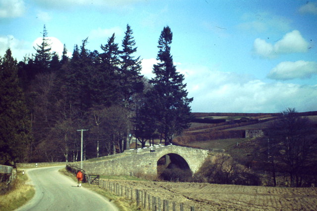
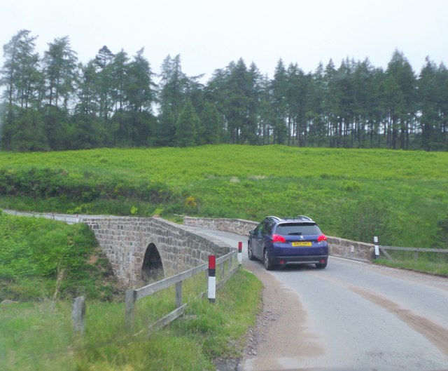
Nettyhaugh Plantation is well-maintained and managed by local forestry experts who prioritize sustainable practices. These include selective felling and replanting, ensuring the long-term health and growth of the woodland. The plantation also serves as a recreational area for visitors, with well-maintained paths and trails that allow people to explore the natural beauty of the forest.
Visitors to Nettyhaugh Plantation can enjoy activities such as hiking, bird-watching, and picnicking. The tranquil atmosphere and scenic views make it an ideal spot for nature enthusiasts and those seeking a peaceful retreat.
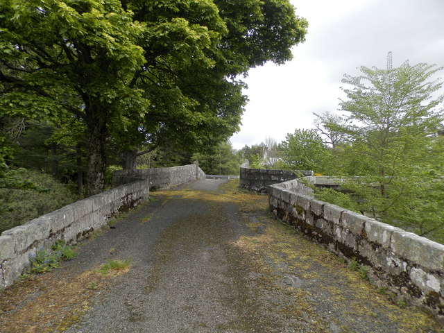
The plantation is easily accessible, with ample parking available for visitors. It is open year-round, offering different experiences in every season, from the vibrant colors of autumn to the fresh greenery of spring.
Overall, Nettyhaugh Plantation is a haven of natural beauty, offering a diverse array of flora and fauna, as well as recreational opportunities for all who visit. Its well-managed woodland and tranquil atmosphere make it a cherished location within Kincardineshire.
If you have any feedback on the listing, please let us know in the comments section below.
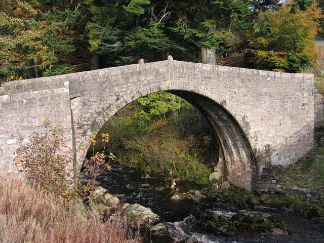
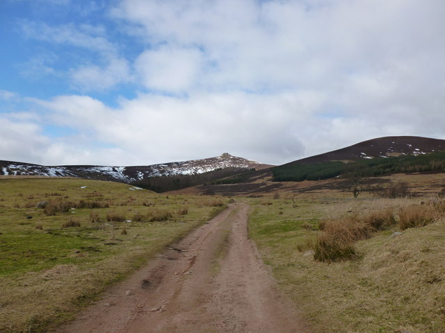
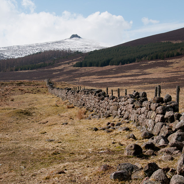
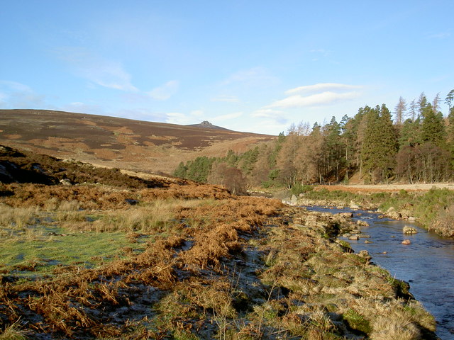
Nettyhaugh Plantation Images
Images are sourced within 2km of 56.953049/-2.593349 or Grid Reference NO6484. Thanks to Geograph Open Source API. All images are credited.
Nettyhaugh Plantation is located at Grid Ref: NO6484 (Lat: 56.953049, Lng: -2.593349)
Unitary Authority: Aberdeenshire
Police Authority: North East
What 3 Words
///navy.verdict.clouding. Near Banchory, Aberdeenshire
Nearby Locations
Related Wikis

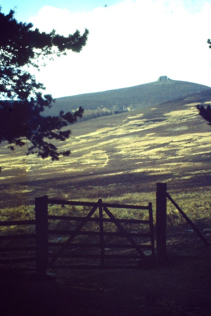
Clachnaben
Clachnaben (archaically "Cloch-na'bain"; Scottish Gaelic: "Clach na Beinne") is a 589-metre hill in Glen Dye, Aberdeenshire, Scotland. It is a distinctive...

Cairn O' Mounth
Cairn O' Mounth/Cairn O' Mount (Scottish Gaelic: Càrn Mhon) is a high mountain pass in Aberdeenshire, Scotland. The place name is a survival of the ancient...

Drumtochty Forest
Drumtochty Forest is a coniferous woodland in Kincardineshire, Scotland. In earlier times this forest was associated with Drumtochty Castle. Other notable...

Kincardineshire
Kincardineshire, also known as the Mearns (from the Scottish Gaelic A' Mhaoirne meaning "the Stewartry"), is a historic county, registration county and...
Have you been to Nettyhaugh Plantation?
Leave your review of Nettyhaugh Plantation below (or comments, questions and feedback).