Backhows Plantation
Wood, Forest in Kincardineshire
Scotland
Backhows Plantation
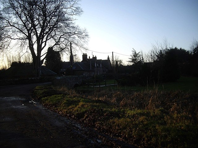
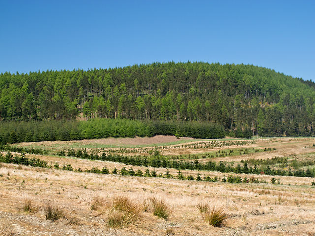
Backhows Plantation is a picturesque woodland area located in Kincardineshire, Scotland. Covering an area of approximately 100 acres, it is a thriving forest that offers a peaceful retreat for nature enthusiasts and outdoor lovers alike.
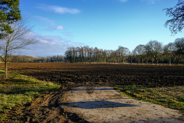
The plantation is predominantly made up of native tree species, including oak, birch, and pine, which create a diverse and enchanting landscape. The dense canopy of trees provides ample shade and a cool atmosphere during the hot summer months, making it an ideal spot for a leisurely stroll or a family picnic.
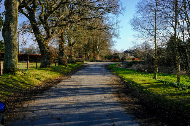
The woodland is intersected by a network of well-maintained footpaths, allowing visitors to explore its beauty at their own pace. These paths wind their way through the forest, leading to hidden gems such as a tranquil pond and a small waterfall that adds to the area's charm.
Backhows Plantation is home to a rich variety of wildlife, with numerous bird species, including woodpeckers and owls, frequently spotted among the trees. Squirrels darting through the branches and deer grazing in the quieter areas of the forest add to the sense of natural wonder.
The plantation is a popular destination for outdoor activities such as hiking, birdwatching, and photography. Its serene environment provides a welcome escape from the hustle and bustle of everyday life, allowing visitors to reconnect with nature and enjoy the peaceful surroundings.
Overall, Backhows Plantation in Kincardineshire is a beautiful woodland retreat that offers a range of activities for nature lovers. With its stunning scenery, diverse wildlife, and well-maintained paths, it is a must-visit destination for anyone seeking a tranquil escape in the heart of Scotland's countryside.
If you have any feedback on the listing, please let us know in the comments section below.
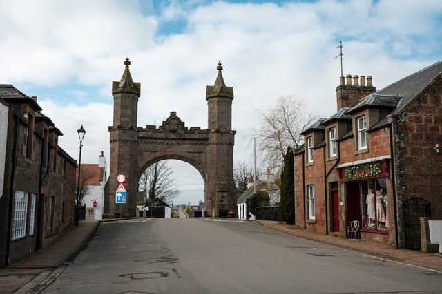
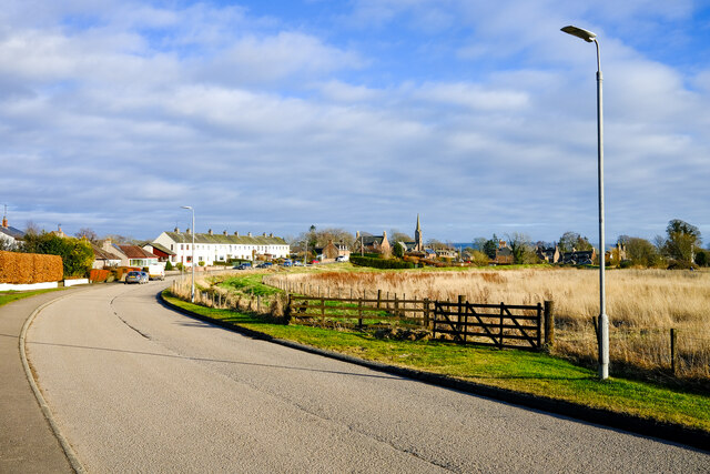
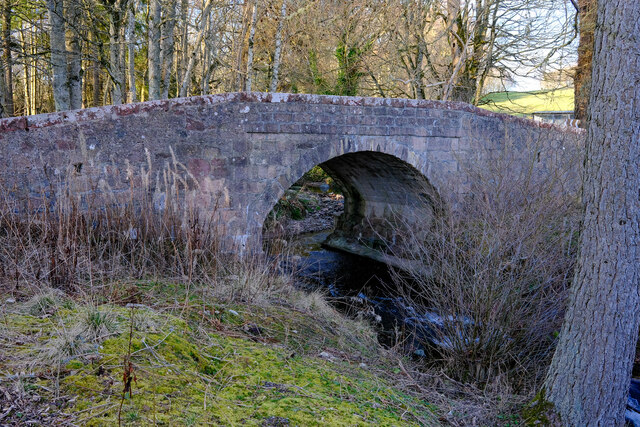
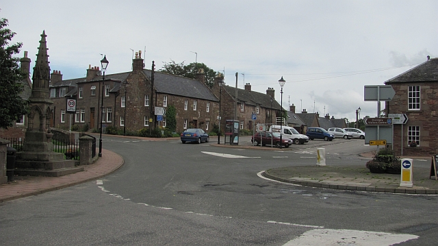
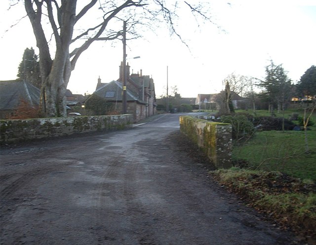
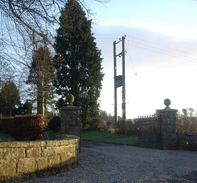
Backhows Plantation Images
Images are sourced within 2km of 56.866553/-2.5920437 or Grid Reference NO6475. Thanks to Geograph Open Source API. All images are credited.
Backhows Plantation is located at Grid Ref: NO6475 (Lat: 56.866553, Lng: -2.5920437)
Unitary Authority: Aberdeenshire
Police Authority: North East
What 3 Words
///betraying.eased.bonus. Near Laurencekirk, Aberdeenshire
Nearby Locations
Related Wikis

Fasque House
Fasque, also known as Fasque House or Fasque Castle, is a mansion in Aberdeenshire, Scotland, situated near the village of Fettercairn, in the former county...

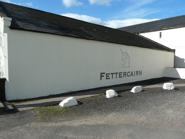
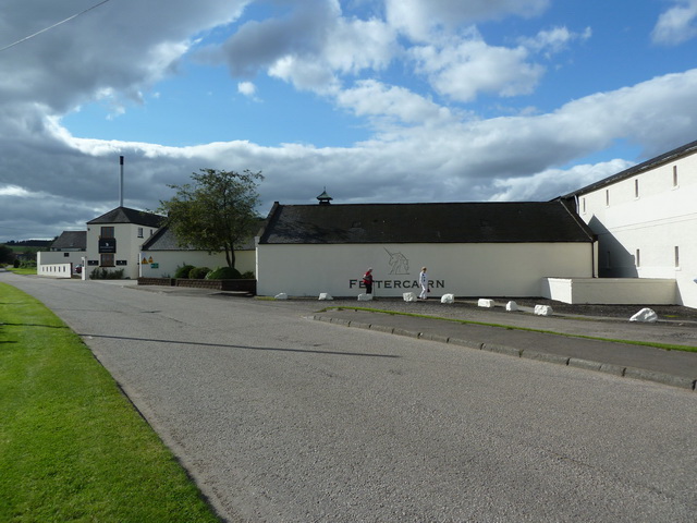
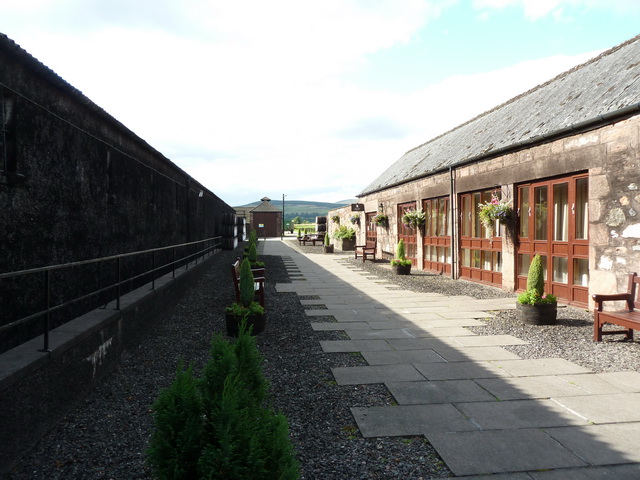
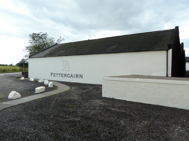
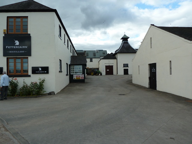
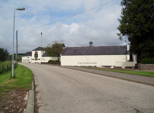
Fettercairn distillery
Fettercairn distillery is a whisky distillery in Fettercairn. Situated under the Grampian foothills in the Howe of Mearns, Fettercairn town’s name is...

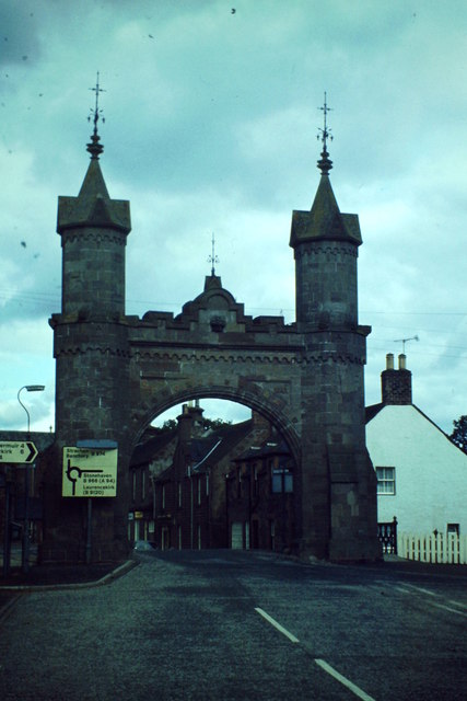
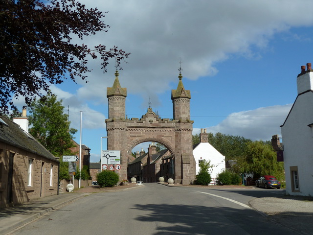
Fettercairn
Fettercairn (, Scottish Gaelic: Fothair Chàrdain) is a small village in Aberdeenshire, Scotland, northwest of Laurencekirk in Aberdeenshire on the B966...

Kincardine, Aberdeenshire
Kincardine was a burgh in Scotland, near the present-day village of Fettercairn. It served as the first county town of Kincardineshire. The settlement...
Nearby Amenities
Located within 500m of 56.866553,-2.5920437Have you been to Backhows Plantation?
Leave your review of Backhows Plantation below (or comments, questions and feedback).