Fiddle Plantation

Wood, Forest in Roxburghshire

Scotland

Fiddle Plantation

Road, farmland
Road, farmland Credit: Alex McGregor

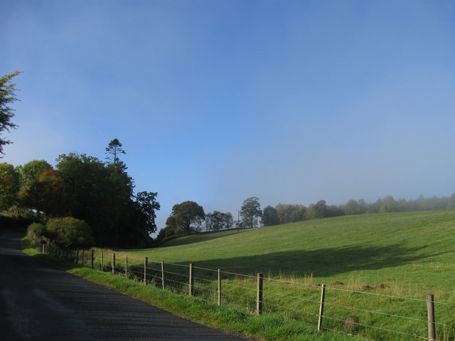
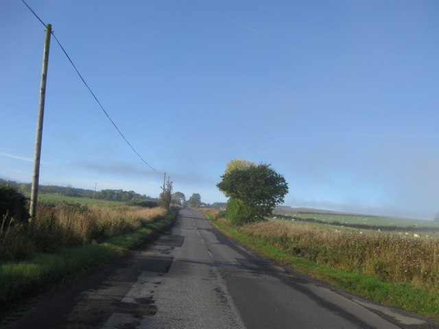
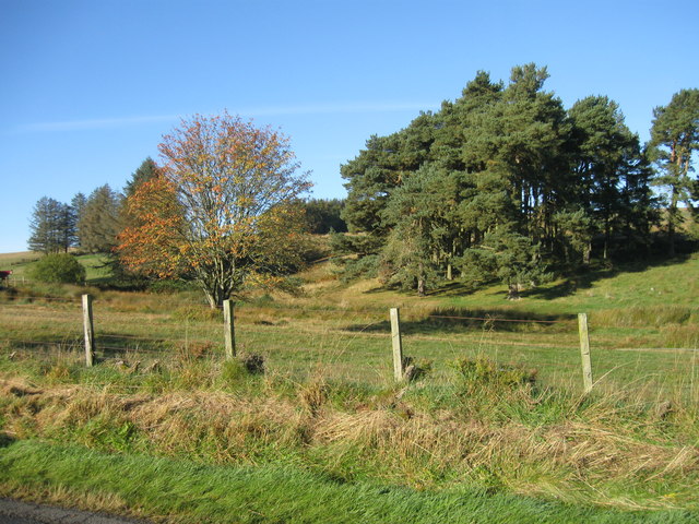
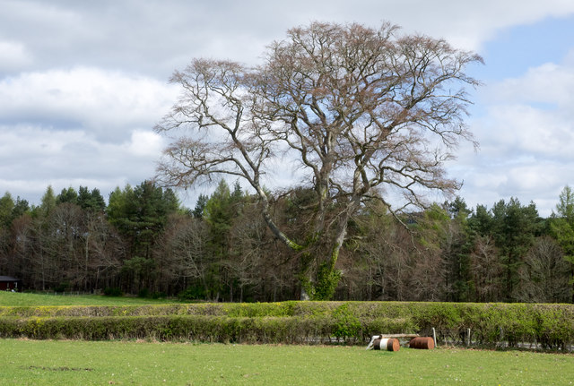
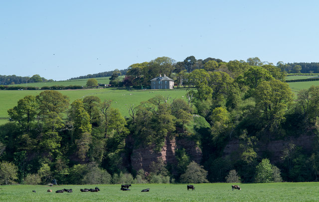
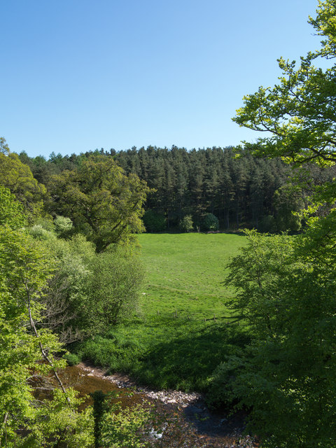
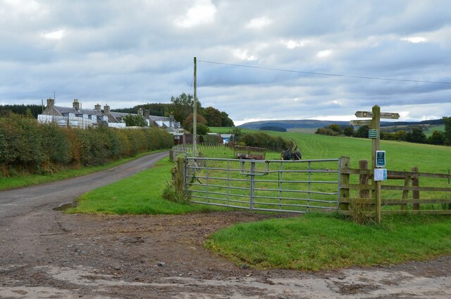
Fiddle Plantation, located in Roxburghshire, Scotland, is a picturesque wood or forest that offers visitors a serene and enchanting experience. Covering an area of approximately 100 acres, this plantation is nestled amidst the stunning countryside, providing a haven of natural beauty and tranquility.

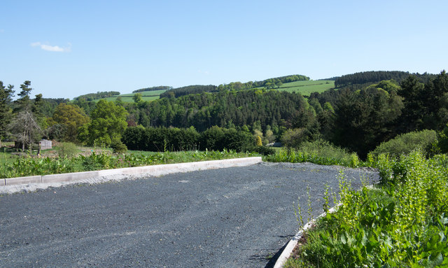
The plantation boasts a diverse range of tree species, including oak, beech, and pine, which create a dense canopy and provide a habitat for numerous wildlife species. Visitors can explore the well-laid-out paths that wind through the plantation, offering scenic views and opportunities for peaceful walks or picnics.

Fiddle Plantation also holds historical significance, with its origins dating back several centuries. It was originally established in the 17th century as a timber resource and has since been managed sustainably to preserve its natural integrity. The careful management of the plantation ensures the continued growth and health of the trees, contributing to the overall ecological balance of the area.

In addition to its natural beauty, Fiddle Plantation offers educational opportunities for visitors. Information boards and guided tours provide insights into the various tree species and the importance of sustainable forestry practices.

Whether you are a nature enthusiast, a history buff, or simply seeking a peaceful retreat, Fiddle Plantation in Roxburghshire is a must-visit destination. Immerse yourself in the tranquility of the forest, breathe in the fresh air, and marvel at the wonders of nature in this idyllic woodland setting.

If you have any feedback on the listing, please let us know in the comments section below.

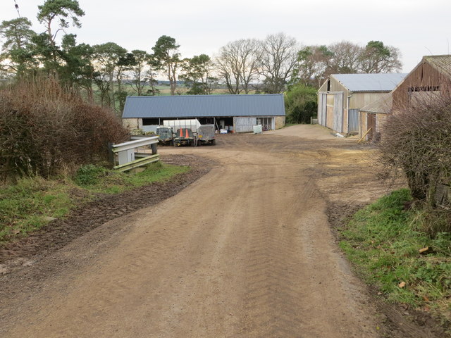
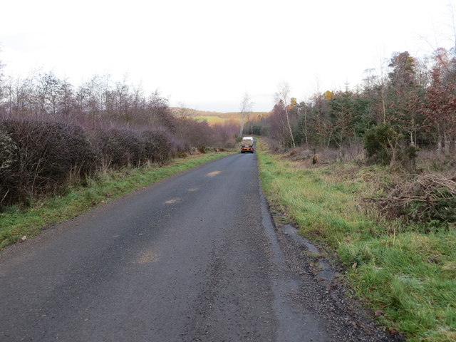
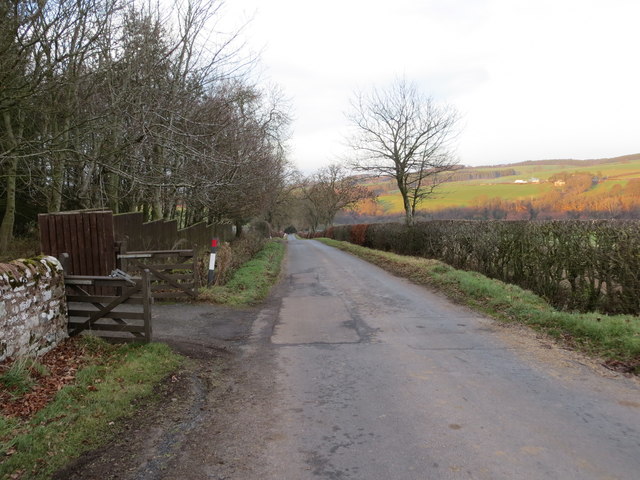
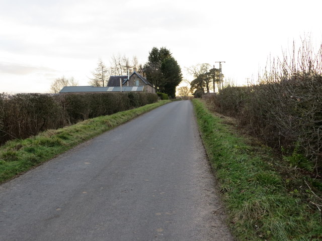
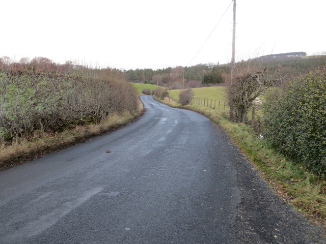
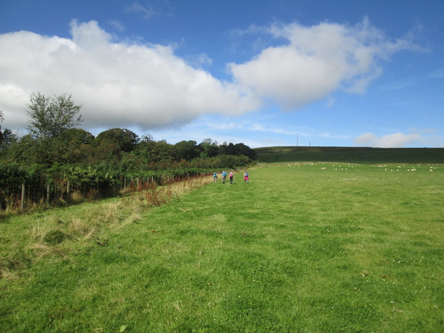
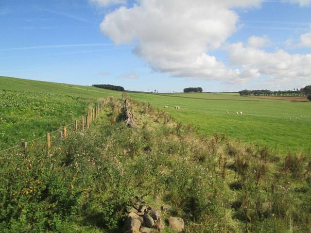
Fiddle Plantation Images

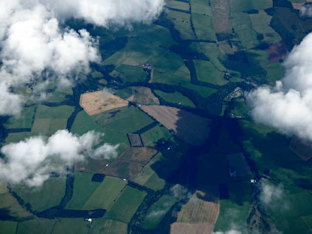
Images are sourced within 2km of 55.443608/-2.5700902 or Grid Reference NT6416. Thanks to Geograph Open Source API. All images are credited.

Road, farmland
Road, farmland
B6357 southbound
B6357 southbound
Swinnie Moor
Swinnie Moor
Linthaugh Cottage
Linthaugh Cottage
Hedges and oil drums The A68 runs between the two hedge lines. The oil drums appear to be part of a jump for horses - there are other similar things in the field.
Hedges and oil drums
The A68 runs between the two hedge lines. The oil drums appear to be part of a jump for horses - there are other similar things in the field.
Bairnkine from the air Borders farmland with strip plantations of varying shapes and sizes.
Bairnkine from the air
Borders farmland with strip plantations of varying shapes and sizes.
Sandstone crag above Jed Water The crag is seen across a field with cattle, descending from the A68 a few kilometres south of Jedburgh.
Sandstone crag above Jed Water
The crag is seen across a field with cattle, descending from the A68 a few kilometres south of Jedburgh.
A road going nowhere A curious stretch of road! It's broad as it leaves the A68 to the west but it ends within perhaps 30 metres of the junction and the height of the kerbstones and roughness of surface shows that no 'black top' has been applied. Beyond the road end a slope descends so steeply towards the Jed Water that is seems unlikely that it would continue directly in that direction.
A road going nowhere
A curious stretch of road! It's broad as it leaves the A68 to the west but it ends within perhaps 30 metres of the junction and the height of the kerbstones and roughness of surface shows that no 'black top' has been applied. Beyond the road end a slope descends so steeply towards the Jed Water that is seems unlikely that it would continue directly in that direction.
Jed Water below the A68 The river, Jed Water, flowing below a steep slope just south of Jedburgh.
Jed Water below the A68
The river, Jed Water, flowing below a steep slope just south of Jedburgh.
The end of a minor road at Kersheugh Farm Looking south-westward.
The end of a minor road at Kersheugh Farm
Looking south-westward.
Minor road beside Woodhouse Roadside Plantations Looking north-eastward.
Minor road beside Woodhouse Roadside Plantations
Looking north-eastward.
Minor road beside Bairnkine Plantation Looking northward.
Minor road beside Bairnkine Plantation
Looking northward.
Hedge-lined minor road at Bairnkine Looking southward.
Hedge-lined minor road at Bairnkine
Looking southward.
Road (B6357) near Lintalee Looking north-eastward towards the A68.
Road (B6357) near Lintalee
Looking north-eastward towards the A68.
Borders  Abbeys  Way  through  sheep  pasture On the left the trees in Merlin Dean, the mast on top of black Law on the skyline right of centre
Borders Abbeys Way through sheep pasture
On the left the trees in Merlin Dean, the mast on top of black Law on the skyline right of centre
New  Fence.  Wall  not  fit  for  purpose From B A Way toward Todlaw Plantation
New Fence. Wall not fit for purpose
From B A Way toward Todlaw Plantation
Ferniehurst Castle The main wing and north-west tower.
Ferniehurst Castle was in use as a Youth Hostel at the time of taking this photograph.
Ferniehurst Castle
The main wing and north-west tower. Ferniehurst Castle was in use as a Youth Hostel at the time of taking this photograph.
Cottages at Kersheugh Cottages by the path from Kersheugh to Mossburnford.
Cottages at Kersheugh
Cottages by the path from Kersheugh to Mossburnford.
Show me another place!

Fiddle Plantation is located at Grid Ref: NT6416 (Lat: 55.443608, Lng: -2.5700902)

Unitary Authority: The Scottish Borders

Police Authority: The Lothians and Scottish Borders

What 3 Words

///helpless.wiggles.merely. Near Jedburgh, Scottish Borders

Related Wikis

Bairnkine

Bairnkine is a hamlet on the Jed Water in the Scottish Borders area of Scotland, on the A68, south of Jedburgh. Other places nearby include Abbotrule,...
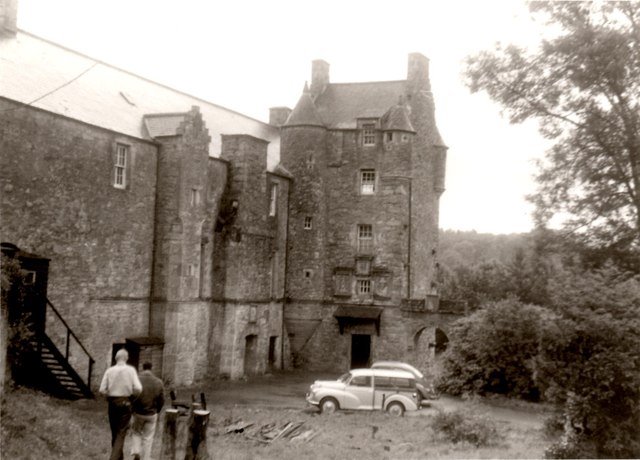
Ferniehirst Castle

Ferniehirst Castle (sometimes spelled Ferniehurst) is an L-shaped construction on the east bank of the Jed Water, about a mile and a half south of Jedburgh...

Jedforest

Jedforest is an historic forest in the Scottish Borders, that has been heavily wooded in the past. It is close to Jed Water and the town of Jedburgh, from...

Capon Oak Tree

The Capon Oak Tree is one of the last surviving trees of the ancient Scottish Jedforest. It is close to the A68 and Jed Water, a small river which has...

Nearby Amenities

Located within 500m of 55.443608,-2.5700902
Power: pole
Lat/Long: 55.447197/-2.5743841
Power: pole
Lat/Long: 55.4462009/-2.5747266
Power: pole
Lat/Long: 55.4453743/-2.5750047
Power: pole
Lat/Long: 55.4447477/-2.5771445
The data included in this document is from www.openstreetmap.org. The data is made available under ODbL.

Have you been to Fiddle Plantation?

Leave your review of Fiddle Plantation below (or comments, questions and feedback).