Spitalbank Plantation
Wood, Forest in Kincardineshire
Scotland
Spitalbank Plantation
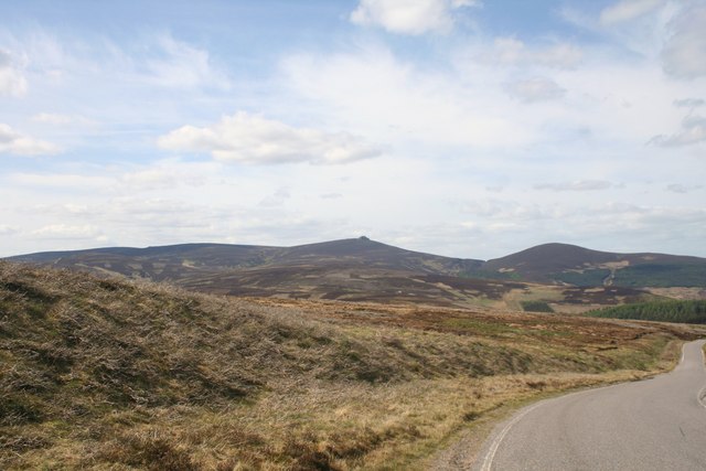
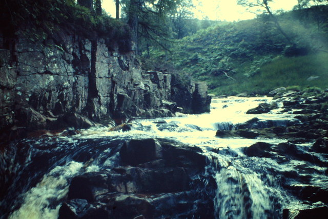
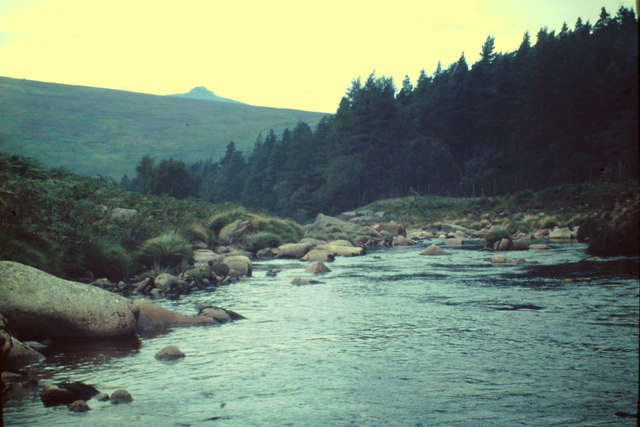
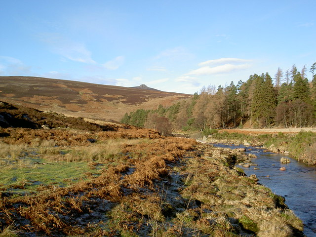
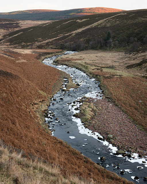
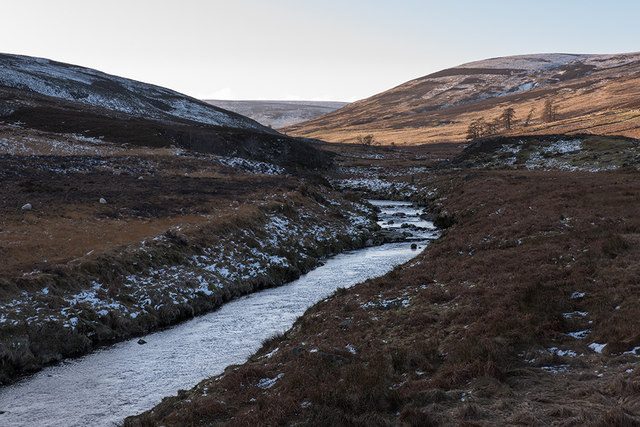
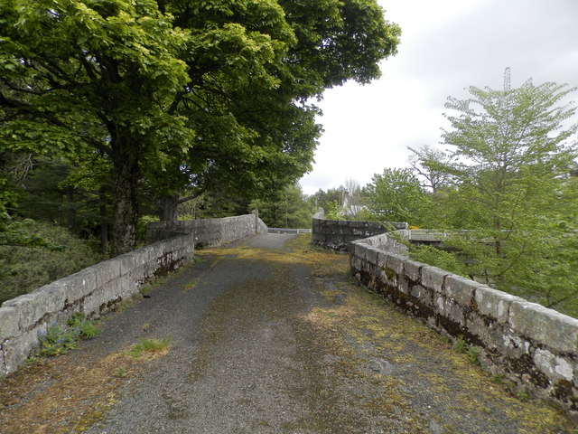
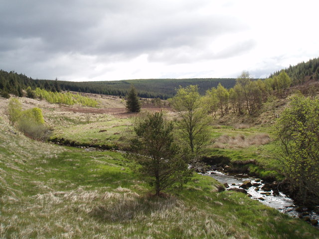
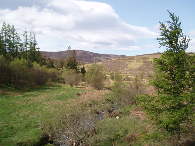
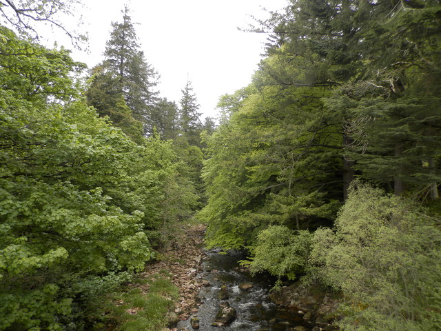
Spitalbank Plantation is a picturesque woodland located in Kincardineshire, Scotland. Situated on the banks of the River Dee, this plantation covers an area of approximately 500 acres. It is known for its diverse range of trees, including oak, birch, beech, and Scots pine, creating a rich and vibrant forest.
The woodland is managed by the Forestry Commission Scotland, with the aim of preserving its natural beauty and promoting sustainable forestry practices. As a result, Spitalbank Plantation serves as an important habitat for various wildlife species, such as red squirrels, roe deer, and a variety of birds.
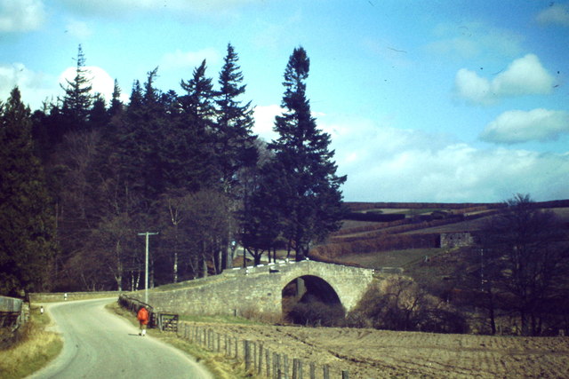
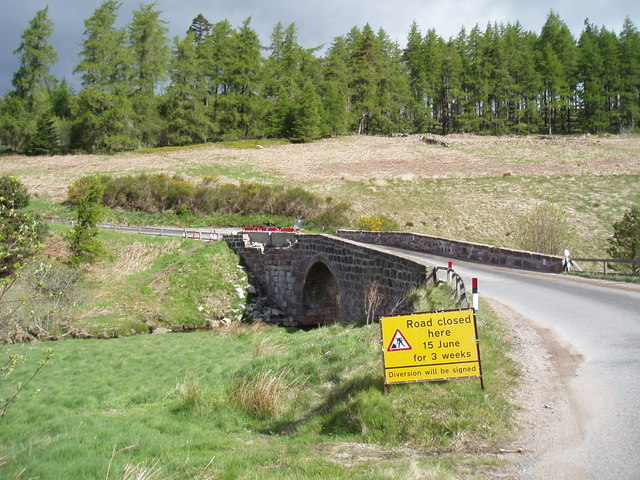
The plantation offers several walking trails, allowing visitors to explore the stunning surroundings and observe the abundance of flora and fauna. The paths are well-maintained and clearly marked, making it easy for visitors to navigate through the woodland.
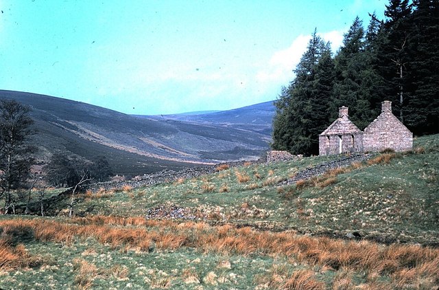
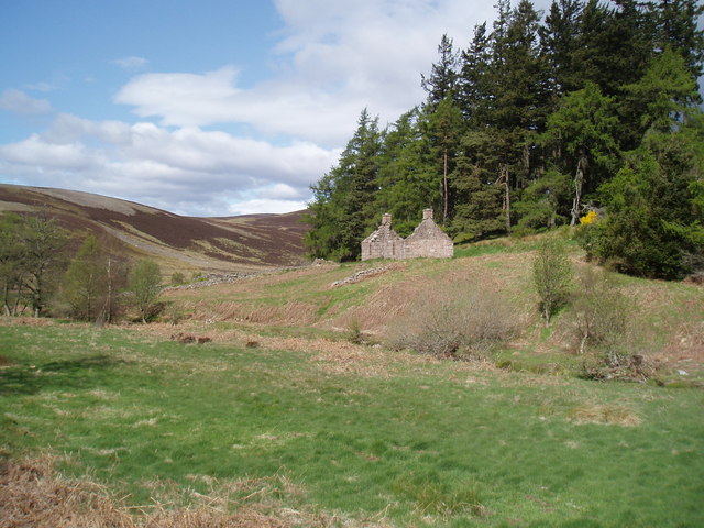
Moreover, Spitalbank Plantation has a rich history, dating back to the 19th century when it was originally established as a commercial forest. Over the years, the woodland has been carefully managed, ensuring the preservation of its unique ecosystem.
In addition to its natural beauty, Spitalbank Plantation also provides recreational opportunities for visitors. It has picnic areas and designated spots for camping, allowing people to fully immerse themselves in the tranquility of the surroundings.
Overall, Spitalbank Plantation is a captivating woodland that offers a chance to connect with nature, learn about its history, and enjoy the numerous outdoor activities it provides.
If you have any feedback on the listing, please let us know in the comments section below.
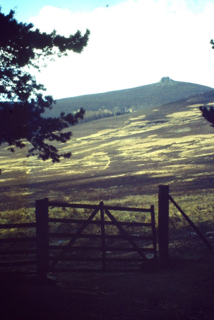
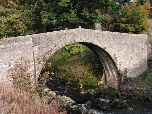
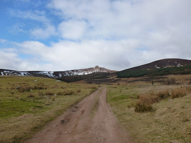
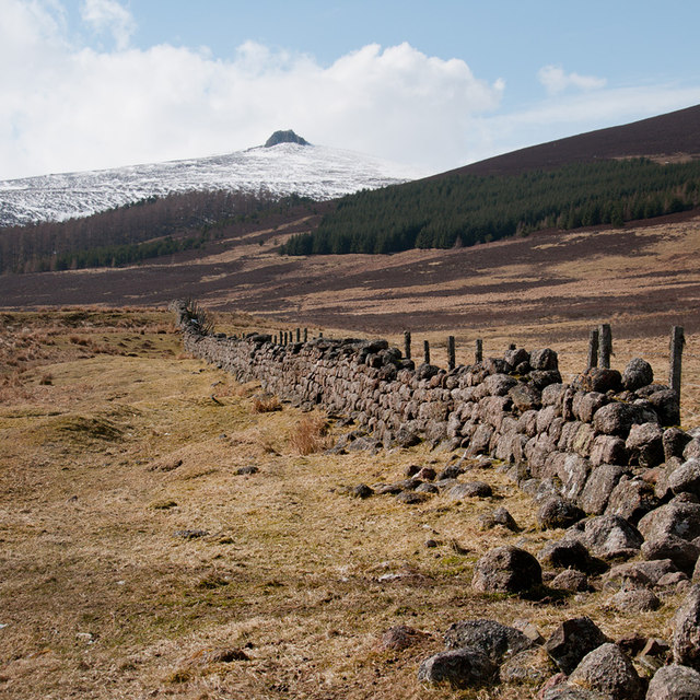
Spitalbank Plantation Images
Images are sourced within 2km of 56.952542/-2.5865346 or Grid Reference NO6484. Thanks to Geograph Open Source API. All images are credited.
Spitalbank Plantation is located at Grid Ref: NO6484 (Lat: 56.952542, Lng: -2.5865346)
Unitary Authority: Aberdeenshire
Police Authority: North East
What 3 Words
///certainty.visa.asterisk. Near Banchory, Aberdeenshire
Nearby Locations
Related Wikis

Clachnaben
Clachnaben (archaically "Cloch-na'bain"; Scottish Gaelic: "Clach na Beinne") is a 589-metre hill in Glen Dye, Aberdeenshire, Scotland. It is a distinctive...

Cairn O' Mounth
Cairn O' Mounth/Cairn O' Mount (Scottish Gaelic: Càrn Mhon) is a high mountain pass in Aberdeenshire, Scotland. The place name is a survival of the ancient...

Drumtochty Forest
Drumtochty Forest is a coniferous woodland in Kincardineshire, Scotland. In earlier times this forest was associated with Drumtochty Castle. Other notable...

Kincardineshire
Kincardineshire, also known as the Mearns (from the Scottish Gaelic A' Mhaoirne meaning "the Stewartry"), is a historic county, registration county and...
Nearby Amenities
Located within 500m of 56.952542,-2.5865346Have you been to Spitalbank Plantation?
Leave your review of Spitalbank Plantation below (or comments, questions and feedback).