Rock Belt
Wood, Forest in Aberdeenshire
Scotland
Rock Belt
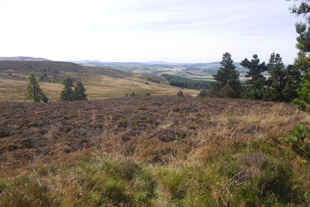
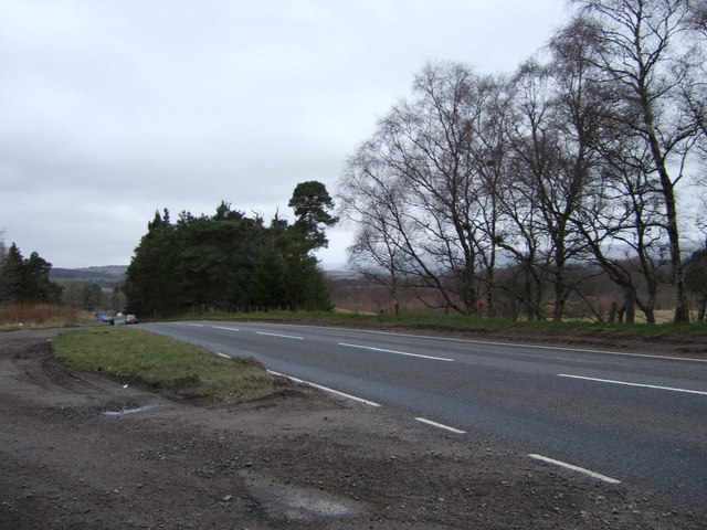
Rock Belt is a picturesque wood located in Aberdeenshire, Scotland. Situated just a few miles outside the town of Inverurie, this enchanting forest is a popular destination for locals and tourists alike, seeking solace in the midst of nature's beauty. Spanning an area of approximately 100 hectares, Rock Belt showcases a diverse range of flora and fauna, making it a haven for nature enthusiasts.
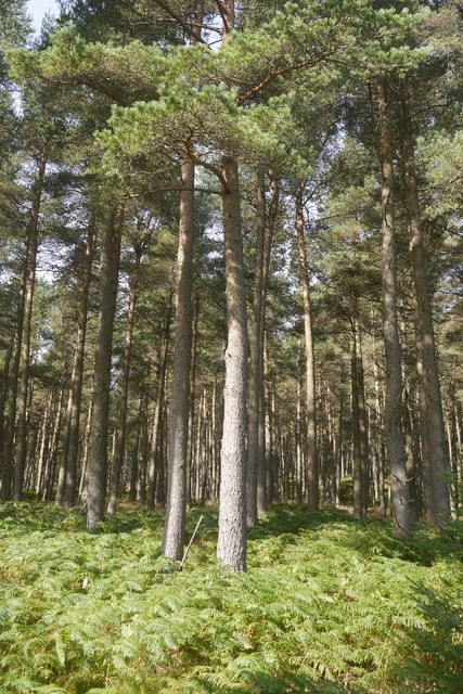
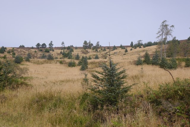
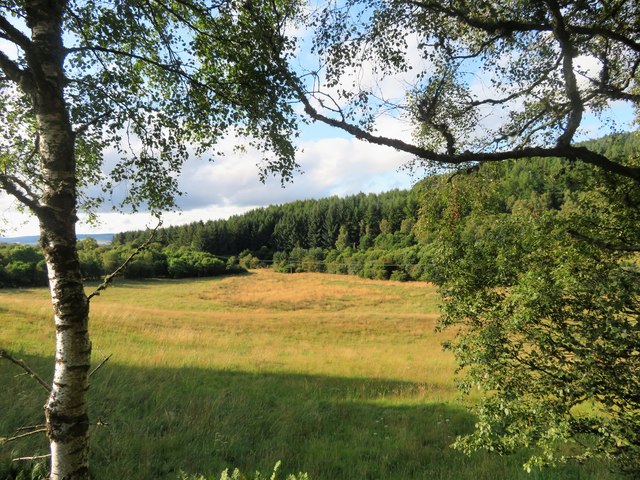
The forest is characterized by its towering trees, predominantly comprised of oak, birch, and pine species. These majestic giants provide a lush and verdant canopy, casting dappled sunlight onto the forest floor. As visitors navigate the well-maintained trails, they are greeted by an array of wildflowers, including bluebells, primroses, and foxgloves, which carpet the forest during the spring and summer months.
Wildlife thrives within the confines of Rock Belt, with various species finding refuge in this natural sanctuary. Red squirrels can be spotted darting between the trees, while roe deer graze peacefully in the clearings. Birdwatchers are treated to the sight of numerous avian species, such as woodpeckers, crossbills, and buzzards.
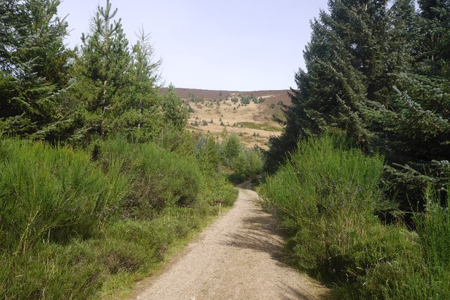
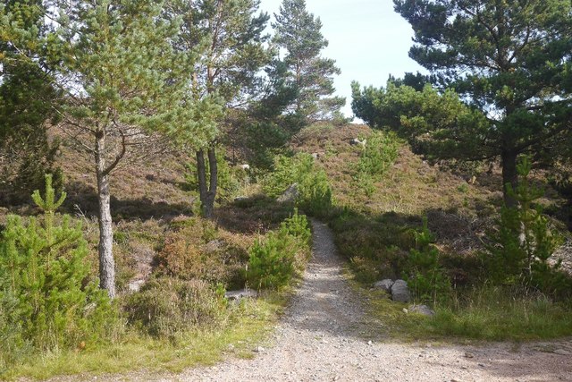
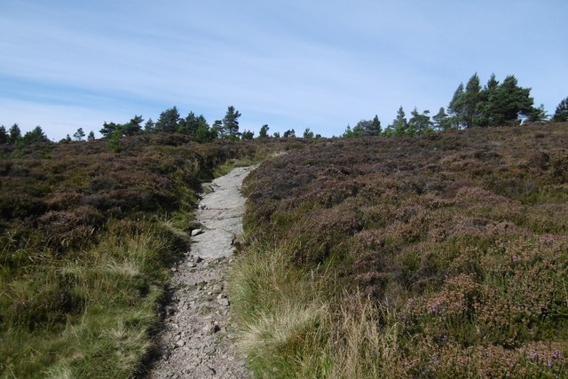
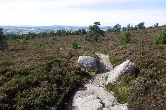
The forest is not only a haven for flora and fauna but also offers recreational activities for visitors. Well-marked trails cater to walkers and hikers of all abilities, allowing them to explore the beauty of Rock Belt at their own pace. Additionally, designated picnic areas provide the perfect spot for families and friends to enjoy a leisurely meal surrounded by nature's tranquility.
In conclusion, Rock Belt in Aberdeenshire, Scotland, is a captivating woodland that offers a respite from the hustle and bustle of everyday life. With its diverse vegetation, abundant wildlife, and recreational opportunities, it is a destination that appeals to those seeking a connection with the natural world.
If you have any feedback on the listing, please let us know in the comments section below.
Rock Belt Images
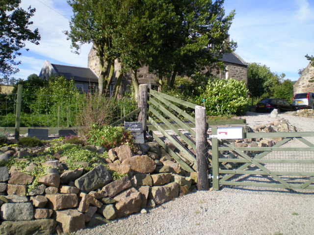
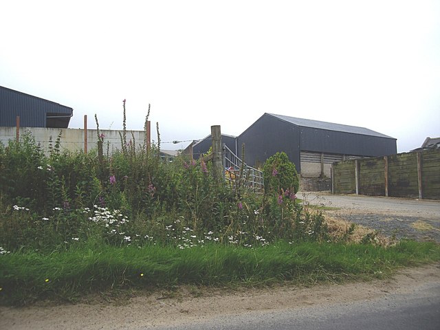
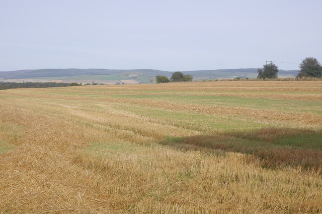
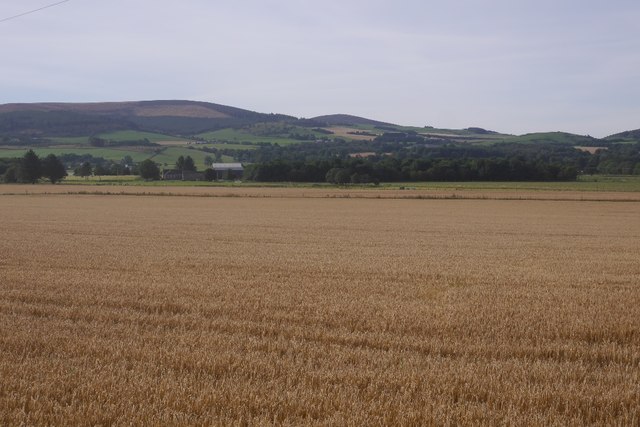
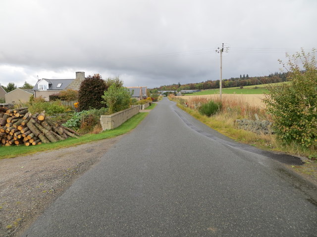
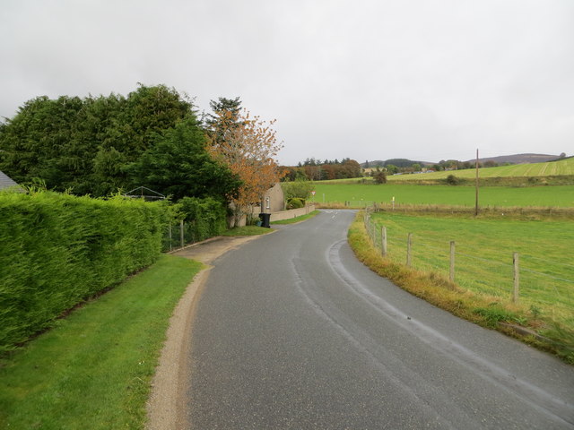
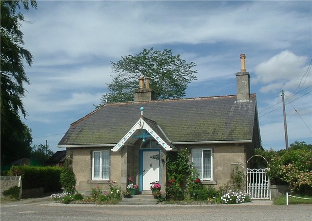
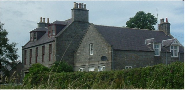
Images are sourced within 2km of 57.227284/-2.6134481 or Grid Reference NJ6315. Thanks to Geograph Open Source API. All images are credited.
Rock Belt is located at Grid Ref: NJ6315 (Lat: 57.227284, Lng: -2.6134481)
Unitary Authority: Aberdeenshire
Police Authority: North East
What 3 Words
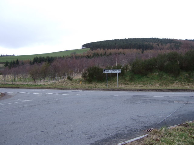
///bump.deciding.crossings. Near Alford, Aberdeenshire
Nearby Locations
Related Wikis

Whitehouse railway station (Scotland)
Whitehouse railway station was a station in Whitehouse, Aberdeenshire. It opened with the along with the rest of the Alford Valley Railway line from Kintore...

Kirkton of Tough
Kirkton of Tough, usually shortened to Tough ( TUUKH), is a settlement in the Marr area of Aberdeenshire, Scotland at grid reference NJ615129. It is about...
Tillyfourie railway station
Tillyfourie railway station was a railway station serving Tillyfourie, Aberdeenshire, Scotland. The station opened on 2 June 1860 on the Alford Valley...

Castle Forbes
Castle Forbes is a 19th-century country house in the Scottish baronial architecture style near Alford in Aberdeenshire, Scotland. The 6,000-acre (2,400...
Nearby Amenities
Located within 500m of 57.227284,-2.6134481Have you been to Rock Belt?
Leave your review of Rock Belt below (or comments, questions and feedback).