The Den

Valley in Aberdeenshire

Scotland

The Den

Cattie farmhouse, Aberdeenshire
Cattie farmhouse, Aberdeenshire Credit: Stephen Stachowiak

The Den, Aberdeenshire (Valley), located in the northeastern part of Scotland, is a picturesque and historically rich area that spans approximately 10 miles. Nestled between the River Dee and the surrounding hills, this valley offers stunning natural beauty and a tranquil atmosphere.

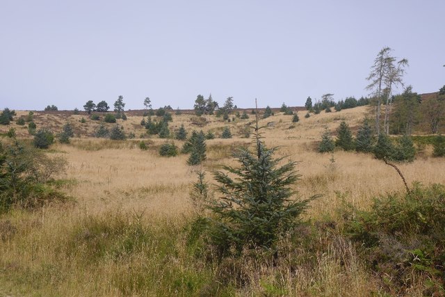
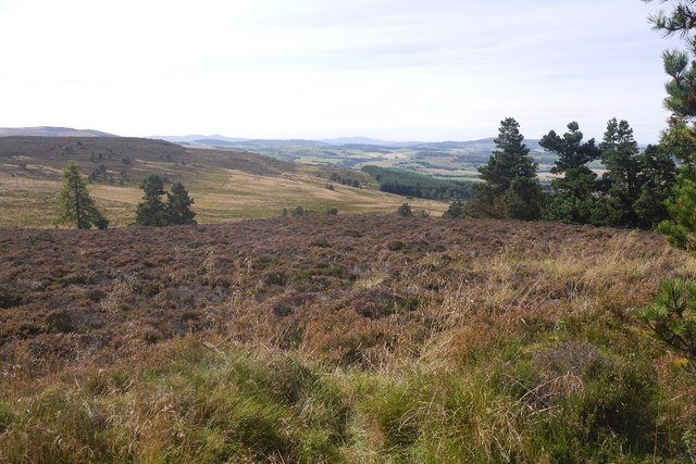
The Den is known for its lush greenery, with dense forests and rolling hills providing a haven for wildlife and nature enthusiasts. The area is home to a diverse range of flora and fauna, including red squirrels, deer, and a variety of bird species, making it a popular destination for birdwatchers and wildlife photographers.

Rich in history, The Den boasts several ancient sites that offer a glimpse into the region's past. The most notable landmark is the historic Crathes Castle, a 16th-century tower house surrounded by beautifully manicured gardens. The castle is open to the public and offers guided tours, showcasing its intricate architecture and impressive collection of art and artifacts.

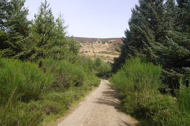
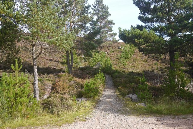
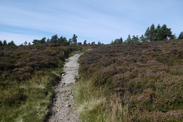
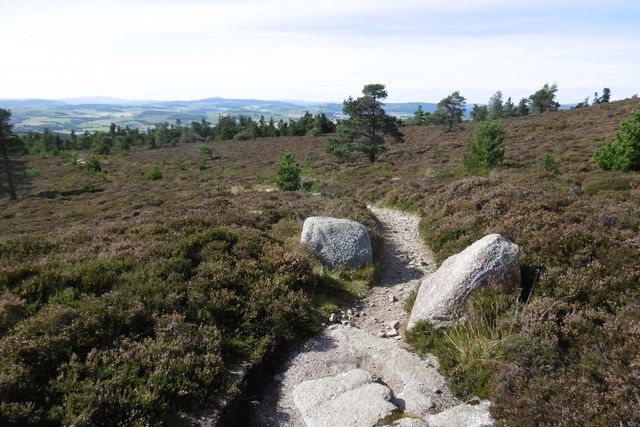
The Den is also renowned for its numerous walking and hiking trails, providing outdoor enthusiasts with ample opportunities to explore the area. The popular Den of Maidencraig Nature Reserve offers a network of paths that lead to stunning viewpoints and cascading waterfalls, creating a truly immersive experience in nature.

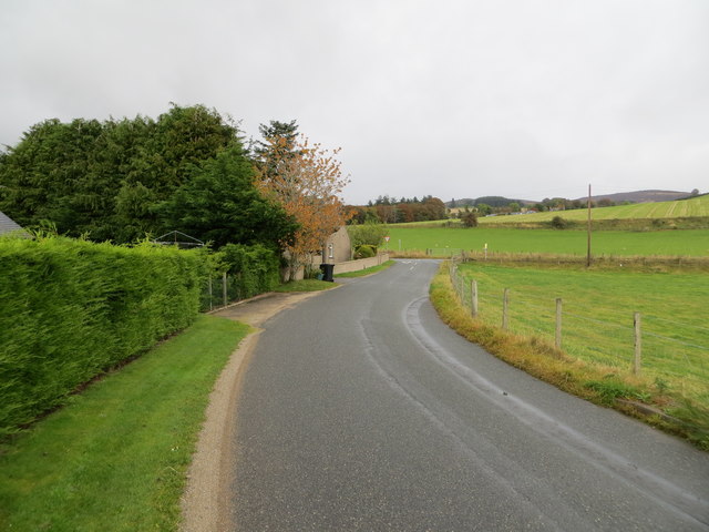
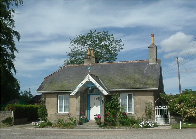
In addition to its natural and historical attractions, The Den is home to a vibrant local community. The nearby town of Banchory offers a range of amenities, including shops, restaurants, and accommodations, providing visitors with everything they need for a comfortable stay.

Overall, The Den, Aberdeenshire (Valley) is a captivating destination that seamlessly blends natural beauty, history, and a welcoming community, making it an ideal location for those seeking a peaceful and enriching experience.

If you have any feedback on the listing, please let us know in the comments section below.
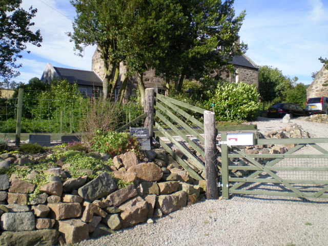
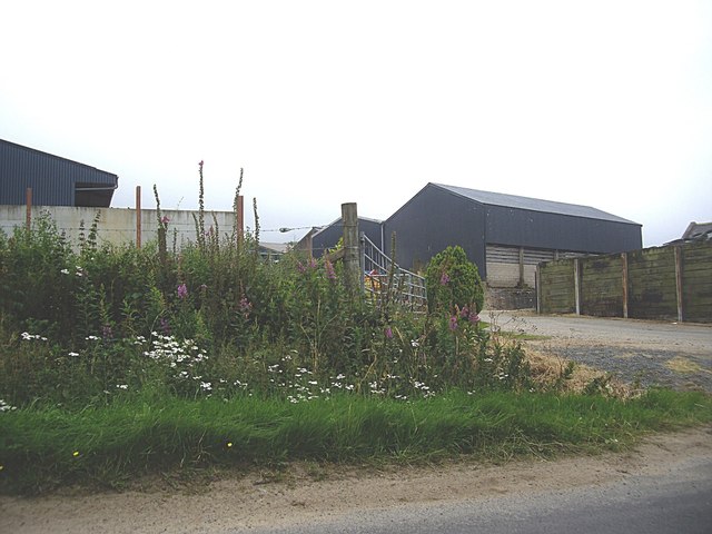
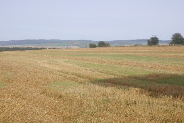
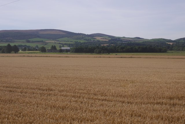
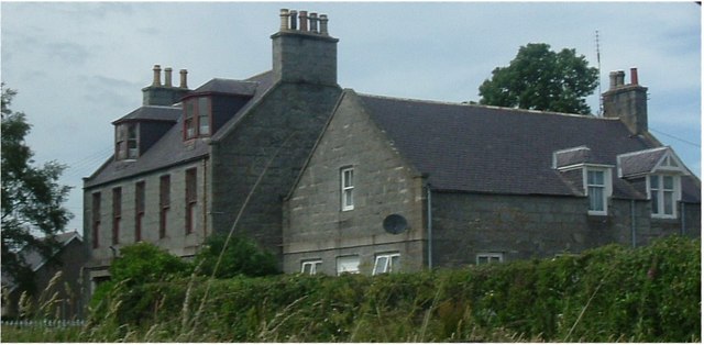
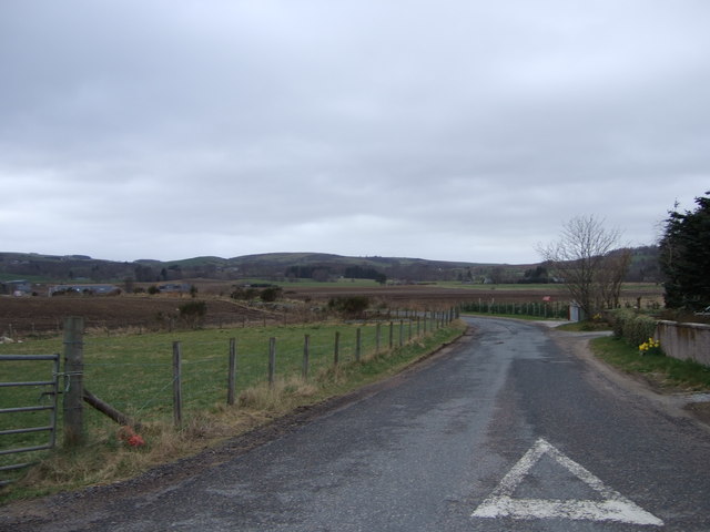
The Den Images

Images are sourced within 2km of 57.229513/-2.6113981 or Grid Reference NJ6315. Thanks to Geograph Open Source API. All images are credited.

Cattie farmhouse, Aberdeenshire
Nether Edindurno Farm buildings by A944 near Whitehouse.
Nether Edindurno
Farm buildings by A944 near Whitehouse.
Stubble, Whitehouse Straw awaits baling with a hot air balloon landing near Alford.
Stubble, Whitehouse
Straw awaits baling with a hot air balloon landing near Alford.
Barley, Whitehouse View across arable land towards Benquhallie.
Barley, Whitehouse
View across arable land towards Benquhallie.
Cleared area, Pitfichie Forest Self seeded spruce dot a hillside which has been clear felled and left.
Cleared area, Pitfichie Forest
Self seeded spruce dot a hillside which has been clear felled and left.
Logging road, Pitfichie Forest Climbing to the col south of Cairn William. The view down the hill is towards a dun slope where there has been some clear felling in the past.
Logging road, Pitfichie Forest
Climbing to the col south of Cairn William. The view down the hill is towards a dun slope where there has been some clear felling in the past.
Granite Top Trail The mountain bike  route over Cairn William.  Cairn William is a significant hill and the path also gives a good walk to the summit.  It is a steady climb, so there should be no problems getting in the way of fast moving bikes.
Granite Top Trail
The mountain bike route over Cairn William. Cairn William is a significant hill and the path also gives a good walk to the summit. It is a steady climb, so there should be no problems getting in the way of fast moving bikes.
View over King's Moss Moorland above Pitfichie Forest.
View over King's Moss
Moorland above Pitfichie Forest.
Path, Cairn William The gently climbing, but technical mountain bike path route over Cairn William. It is also walkable and a good route to the summit with fine views.
Path, Cairn William
The gently climbing, but technical mountain bike path route over Cairn William. It is also walkable and a good route to the summit with fine views.
Path, Cairn William The Granite Top mountain bike trail has some interesting rock features. Unfortunately I am not fit enough to climb fast enough to clear a lot of them.  The descent beyond the summit was very easy though and nowhere near as technical.
Path, Cairn William
The Granite Top mountain bike trail has some interesting rock features. Unfortunately I am not fit enough to climb fast enough to clear a lot of them. The descent beyond the summit was very easy though and nowhere near as technical.
Mountain bike track, Cairn William The path, used by bikes in ascent so fine to walk along too, uses granite bedrock and boulders for trail features.
Mountain bike track, Cairn William
The path, used by bikes in ascent so fine to walk along too, uses granite bedrock and boulders for trail features.
Minor road approaching the A944 near to Nether Edindurno Looking north-eastward.
Minor road approaching the A944 near to Nether Edindurno
Looking north-eastward.
Whitehouse Lodge
Whitehouse Lodge
House at Whitehouse At junction with Insch road
House at Whitehouse
At junction with Insch road
Road to 'Blackpool' Blackpool farm is on the far left; from the junction with A944.
Road to 'Blackpool'
Blackpool farm is on the far left; from the junction with A944.
Dismantled Railway Bridge On the Alford - Inverurie railway (Closed in the 1960's).
Dismantled Railway Bridge
On the Alford - Inverurie railway (Closed in the 1960's).
Back Gate into Whitehouse Taken from one of the Estate roads.
Back Gate into Whitehouse
Taken from one of the Estate roads.
Dairy House The former Dairy House on Whitehouse estate.
Dairy House
The former Dairy House on Whitehouse estate.
Show me another place!

The Den is located at Grid Ref: NJ6315 (Lat: 57.229513, Lng: -2.6113981)

Unitary Authority: Aberdeenshire

Police Authority: North East

What 3 Words

///attracts.adapt.riverbed. Near Alford, Aberdeenshire

Related Wikis

Whitehouse railway station (Scotland)

Whitehouse railway station was a station in Whitehouse, Aberdeenshire. It opened with the along with the rest of the Alford Valley Railway line from Kintore...

Kirkton of Tough

Kirkton of Tough, usually shortened to Tough ( TUUKH), is a settlement in the Marr area of Aberdeenshire, Scotland at grid reference NJ615129. It is about...

Tillyfourie railway station

Tillyfourie railway station was a railway station serving Tillyfourie, Aberdeenshire, Scotland. The station opened on 2 June 1860 on the Alford Valley...

Castle Forbes

Castle Forbes is a 19th-century country house in the Scottish baronial architecture style near Alford in Aberdeenshire, Scotland. The 6,000-acre (2,400...

Nearby Amenities

Located within 500m of 57.229513,-2.6113981
Power: pole
Lat/Long: 57.2264431/-2.6163322
Power: pole
Lat/Long: 57.2271254/-2.6163664
Power: pole
Lat/Long: 57.2278538/-2.6164155
Power: pole
Lat/Long: 57.2284805/-2.6163429
Power: pole
Lat/Long: 57.2290933/-2.6162788
Power: pole
Lat/Long: 57.2294112/-2.6162553
Power: pole
Lat/Long: 57.2294887/-2.6037316
Power: pole
Lat/Long: 57.2293893/-2.6045711
Power: pole
Lat/Long: 57.2292598/-2.6057053
Power: pole
Lat/Long: 57.2292644/-2.6068225
Power: pole
Lat/Long: 57.2292887/-2.6080144
Power: pole
Lat/Long: 57.2293037/-2.6093281
Power: pole
Lat/Long: 57.2293291/-2.6106396
Power: pole
Lat/Long: 57.2293488/-2.6119853
Power: pole
Lat/Long: 57.2293615/-2.6129957
Power: pole
Lat/Long: 57.2293765/-2.6140808
Power: pole
Lat/Long: 57.2293904/-2.6151659
Power: pole
Lat/Long: 57.2291869/-2.6175476
Power: pole
Lat/Long: 57.2289603/-2.6188122
The data included in this document is from www.openstreetmap.org. The data is made available under ODbL.

Have you been to The Den?

Leave your review of The Den below (or comments, questions and feedback).