Dykeraw Plantation
Wood, Forest in Roxburghshire
Scotland
Dykeraw Plantation
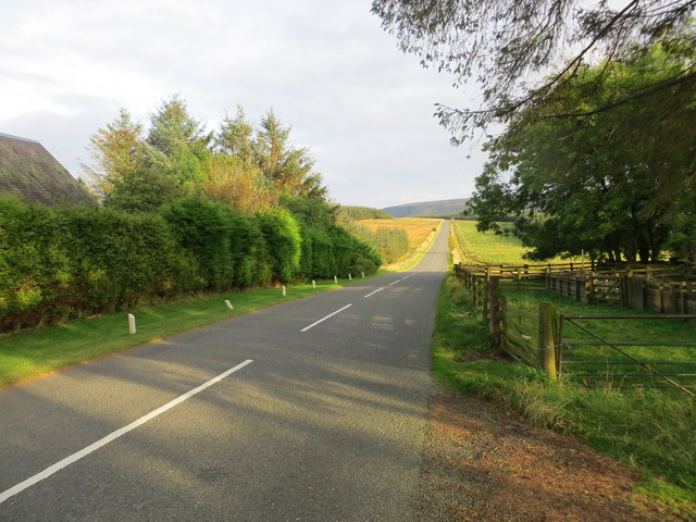
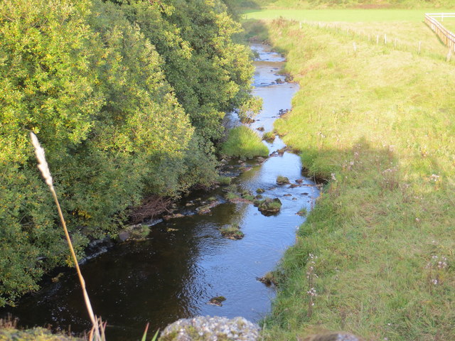
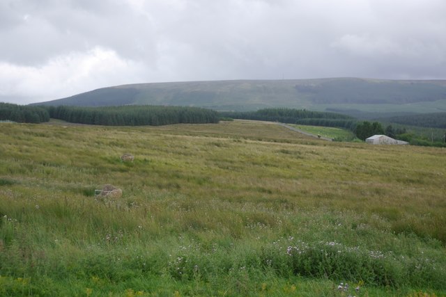
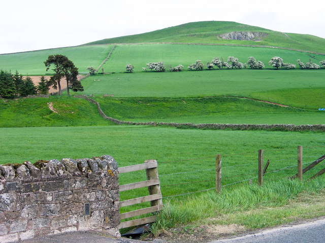
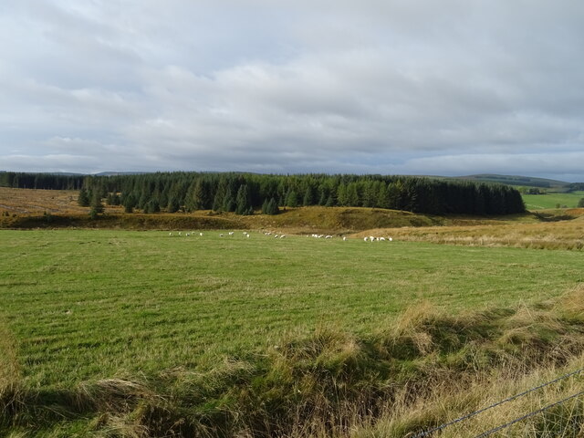
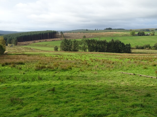
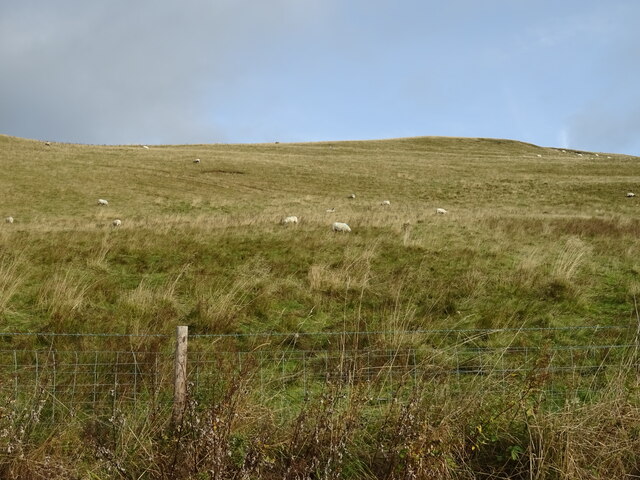
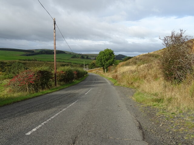
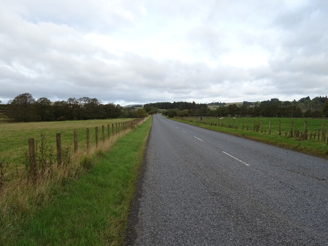
Dykeraw Plantation is a picturesque woodland located in the rural area of Roxburghshire, Scotland. Spanning over a vast area, this plantation is known for its dense forest cover and diverse range of tree species, making it a haven for nature enthusiasts and hikers alike.
The woodland is predominantly composed of native tree species such as oak, beech, and birch, which contribute to its natural beauty. These trees, standing tall and majestic, provide a rich habitat for various wildlife species including birds, mammals, and insects. The plantation is particularly renowned for its population of red squirrels, who find ample food and shelter within the woodland.
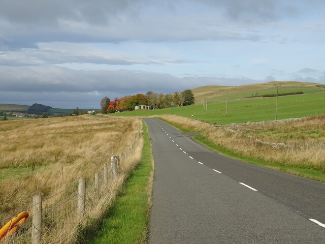
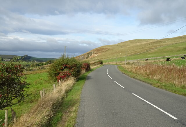
Visitors to Dykeraw Plantation can explore its well-maintained trails, which meander through the forest, offering breathtaking views of the surrounding countryside. The trails cater to all levels of fitness, with options for leisurely strolls or more challenging hikes. The plantation is also home to a variety of plant life, including wildflowers and ferns, creating a vibrant and colorful landscape during the spring and summer months.
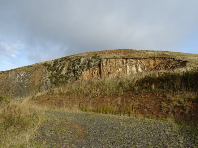
Aside from its natural beauty, Dykeraw Plantation holds historical significance as well. The remains of an ancient fortification, believed to date back to the Bronze Age, can be found within the woodland. This archaeological site serves as a reminder of the area's rich cultural heritage.
Overall, Dykeraw Plantation is a hidden gem in Roxburghshire, offering a tranquil escape from the hustle and bustle of daily life. Whether it's for a peaceful walk, wildlife spotting, or a glimpse into the region's history, this woodland provides a truly captivating experience for all who visit.
If you have any feedback on the listing, please let us know in the comments section below.
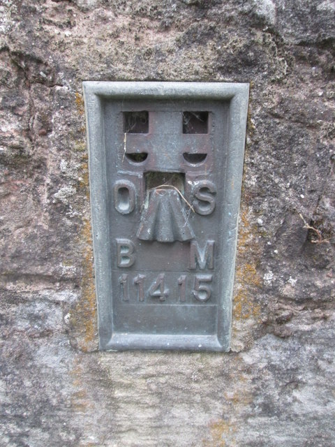
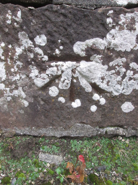
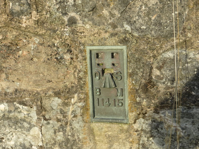
Dykeraw Plantation Images
Images are sourced within 2km of 55.364152/-2.5861268 or Grid Reference NT6207. Thanks to Geograph Open Source API. All images are credited.

Dykeraw Plantation is located at Grid Ref: NT6207 (Lat: 55.364152, Lng: -2.5861268)
Unitary Authority: The Scottish Borders
Police Authority: The Lothians and Scottish Borders
What 3 Words
///munched.ambitions.ambition. Near Jedburgh, Scottish Borders
Nearby Locations
Related Wikis

Southdean
Southdean is a hamlet in the Scottish Borders area of Scotland, on the A6088, by the Jed Water and in the Wauchope Forest area. Other settlements nearby...

Wauchope, Scottish Borders
Wauchope is a hamlet in the Scottish Borders council area of Scotland, near Southdean. Wauchope House was demolished in 1932. == See also == Wauchope Forest...

Hobkirk
Hobkirk (Scottish Gaelic: Eaglais Ruail) is a village and civil parish in the Scottish Borders area of Scotland, by the Rule Water, south-west of Jedburgh...

Abbotrule
Abbotrule is a hamlet south of the B6357 road, in the Scottish Borders area of Scotland, on Rule Burn, east of the Rule Water. Places nearby include Bedrule...

Bonchester Bridge
Bonchester Bridge (Scots Binster Brig) is a village in Roxburghshire, within the Scottish Borders area of Scotland, lying on the Rule Water, six miles...

Scottish Borders
The Scottish Borders (Scots: the Mairches, lit. 'the Marches'; Scottish Gaelic: Crìochan na h-Alba) is one of 32 council areas of Scotland. It is bordered...

Wauchope Forest
Wauchope Forest is a forest on the Rule Water, in the Scottish Borders area of Scotland, south of Hawick, and including the A6088, the A68 and the B6357...
Carter Bar
Carter Bar is a pass in the Cheviot Hills, on the Anglo-Scottish border. It lies east of Carter Fell at the head of Redesdale, and is crossed by the A68...
Nearby Amenities
Located within 500m of 55.364152,-2.5861268Have you been to Dykeraw Plantation?
Leave your review of Dykeraw Plantation below (or comments, questions and feedback).