Quarry Plantation

Wood, Forest in Berwickshire

Scotland

Quarry Plantation

Flight pool One of a pair recently dug to attract ducks. They were populated with mallard and teal on this occasion. The former conifer wood on the site was felled and replanted.
Flight pool Credit: Richard Webb

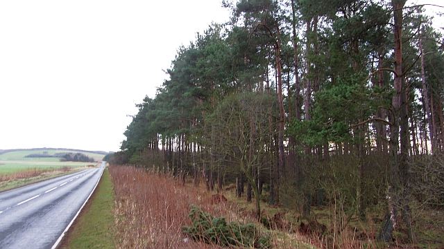
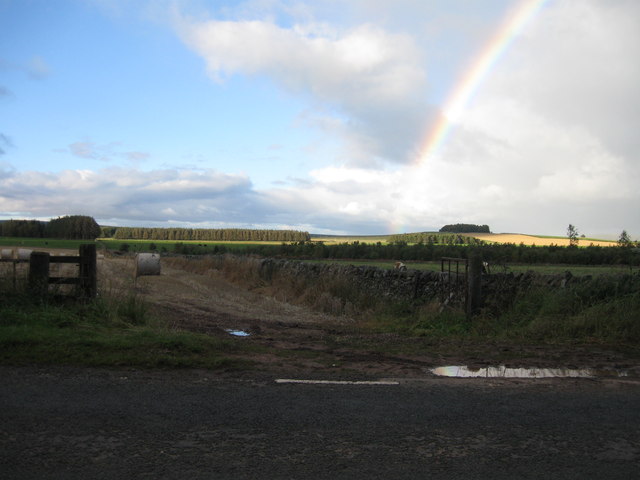
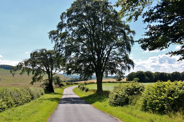
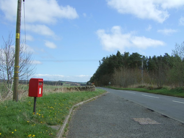
Quarry Plantation is a picturesque woodland located in the county of Berwickshire, Scotland. Covering an area of approximately 100 acres, it is a thriving forest that offers a tranquil and scenic escape for nature enthusiasts and hikers alike. The plantation is situated just a few miles away from the charming village of Cove, making it easily accessible for visitors.

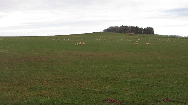
The woodland is predominantly composed of diverse tree species, including oak, beech, and Scots pine, which create a rich and varied ecosystem. The dense canopy provides a habitat for a wide range of wildlife, such as birds, squirrels, and deer, making it a haven for wildlife enthusiasts and bird watchers.

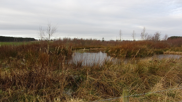
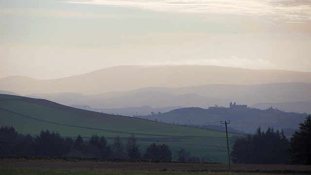
Several well-maintained trails wind their way through the plantation, offering visitors the chance to explore its natural beauty. These paths vary in length and difficulty, accommodating both leisurely strolls and more challenging hikes. Along the way, walkers can enjoy breathtaking views of the surrounding countryside and may even stumble upon the remnants of an old quarry, giving the plantation its name.

Quarry Plantation is not only a place of natural beauty but also holds historical significance. It is believed that the quarry within the plantation played a crucial role in providing stone for local construction projects in the past.

Whether seeking tranquility, wildlife encounters, or a chance to delve into history, Quarry Plantation offers a delightful experience for all who visit. With its stunning landscapes, diverse flora and fauna, and fascinating history, it is a true gem within the Berwickshire countryside.

If you have any feedback on the listing, please let us know in the comments section below.

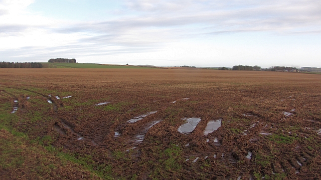
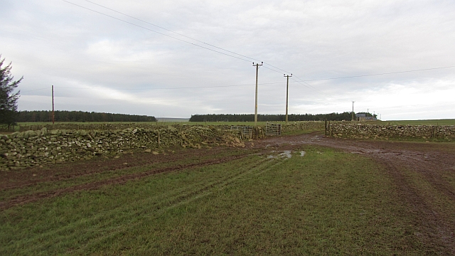
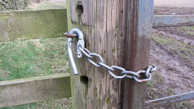
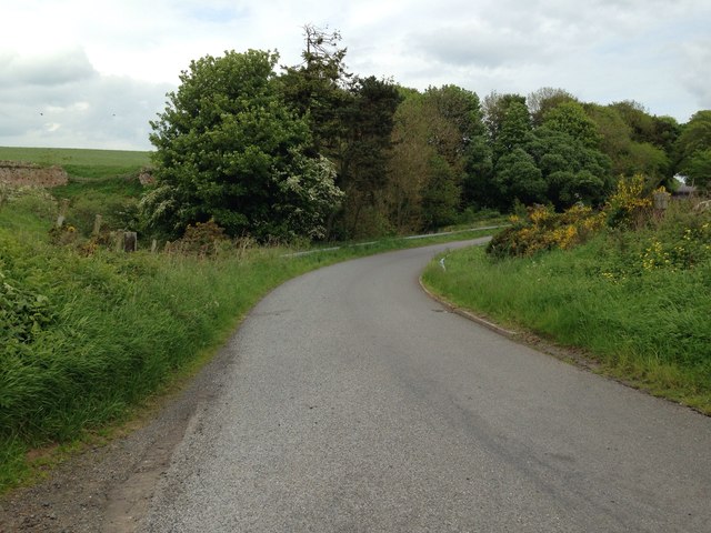
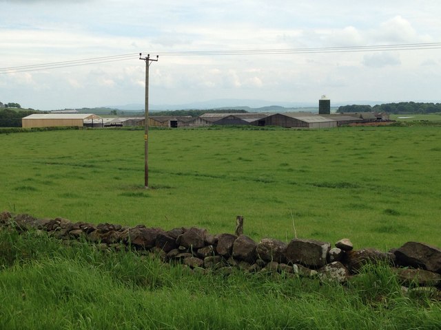
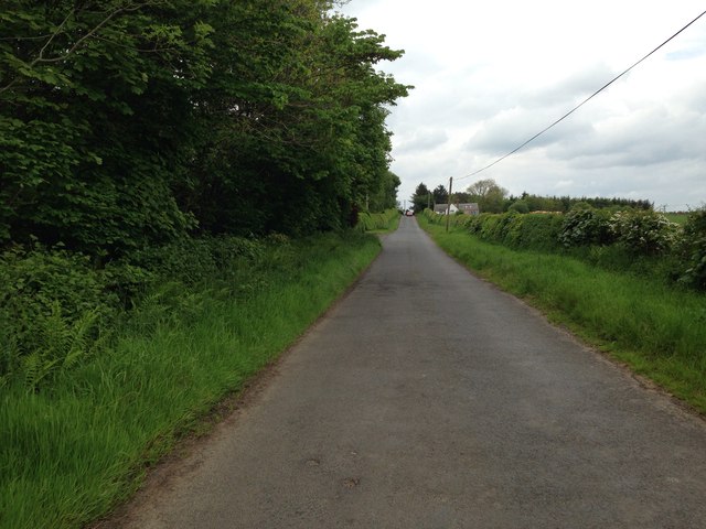
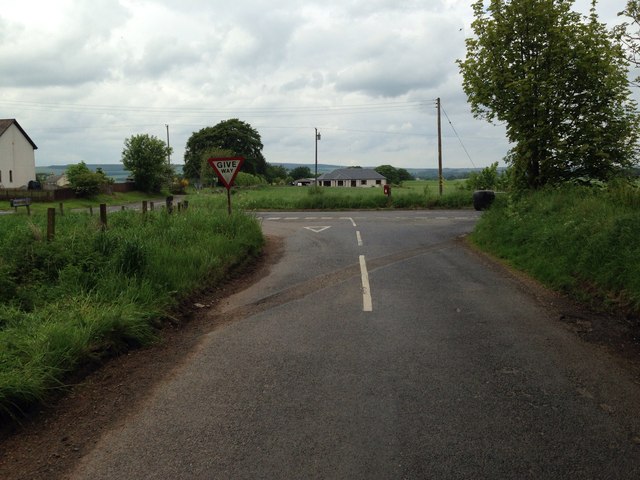
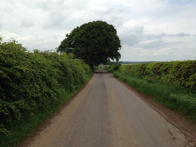
Quarry Plantation Images

Images are sourced within 2km of 55.716199/-2.5910871 or Grid Reference NT6247. Thanks to Geograph Open Source API. All images are credited.

Flight pool One of a pair recently dug to attract ducks. They were populated with mallard and teal on this occasion. The former conifer wood on the site was felled and replanted.
Flight pool
One of a pair recently dug to attract ducks. They were populated with mallard and teal on this occasion. The former conifer wood on the site was felled and replanted.
Hare Law A tree topped hill with grazing sheep. There are many electric fences here which suggests that cattle are also grazed here.
Hare Law
A tree topped hill with grazing sheep. There are many electric fences here which suggests that cattle are also grazed here.
Approaching warm front Heralding the next lot of rain and probably unpleasantly mild weather, The Cheviot <a href="https://www.geograph.org.uk/photo/279853">NT9020 : The Cheviot trig point</a> is streaming cloud.  An hour early the sky was almost cloudless and the earth frostbound. Now temperatures are rising, the sky going from milky to cloudy and cloud is condensing where air is forced to rise by the 800m high hill.
Hume Castle <a href="https://www.geograph.org.uk/photo/1467885">NT7041 : Hume Castle</a> is silhouetted against one of the distant hills.
Approaching warm front
Heralding the next lot of rain and probably unpleasantly mild weather, The Cheviot NT9020 : The Cheviot trig point is streaming cloud. An hour early the sky was almost cloudless and the earth frostbound. Now temperatures are rising, the sky going from milky to cloudy and cloud is condensing where air is forced to rise by the 800m high hill. Hume Castle NT7041 : Hume Castle is silhouetted against one of the distant hills.
Houndslow Strip A big strip wood in a landscape of strip woods. It runs beside the A697.
Houndslow Strip
A big strip wood in a landscape of strip woods. It runs beside the A697.
Stubble Arable land south of the Lammermuir Hills.
Stubble
Arable land south of the Lammermuir Hills.
Gates, Hyndberry Gates and a track over Hare Law south of Westruther. It is signposted as a path from the A697 and is part of a route from Gordon to Westruther.
Gates, Hyndberry
Gates and a track over Hare Law south of Westruther. It is signposted as a path from the A697 and is part of a route from Gordon to Westruther.
Gate latch This kind of latch has a cunningly curved hook which makes fastening the gate very easy. A clip prevents accidental opening.
Gate latch
This kind of latch has a cunningly curved hook which makes fastening the gate very easy. A clip prevents accidental opening.
Road to Bassendean
Road to Bassendean
Farmland at Bassendean
Minor road near Houndslow
Road junction at Houndslow
Minor road near Broomiebank
Rainbow over farmland
Country road and summer sun at Bassendean
Sheriffmoor Plantation A felled area. There is a lot of litter around here, possibly because low quality people can pull off the A697 easily.
Sheriffmoor Plantation
A felled area. There is a lot of litter around here, possibly because low quality people can pull off the A697 easily.
Elizabethan postbox, Houndslow On The A697.
Postbox No. TD3 43.

See <a href="https://www.geograph.org.uk/photo/5402237">NT6347 : Close up, Elizabethan postbox, Houndslow</a> for close up.

See <a href="https://www.geograph.org.uk/photo/5402239">NT6347 : A697, Houndslow</a> for context.
Elizabethan postbox, Houndslow
On The A697. Postbox No. TD3 43. See NT6347 : Close up, Elizabethan postbox, Houndslow for close up. See NT6347 : A697, Houndslow for context.
Close up, Elizabethan postbox, Houndslow On The A697.
Postbox No. TD3 43.

See <a href="https://www.geograph.org.uk/photo/5402233">NT6347 : Elizabethan postbox, Houndslow</a> for wider view.
Close up, Elizabethan postbox, Houndslow
On The A697. Postbox No. TD3 43. See NT6347 : Elizabethan postbox, Houndslow for wider view.
A697, Houndslow Showing position of Postbox No. TD3 43.

See <a href="https://www.geograph.org.uk/photo/5402233">NT6347 : Elizabethan postbox, Houndslow</a> for postbox.
A697, Houndslow
Showing position of Postbox No. TD3 43. See NT6347 : Elizabethan postbox, Houndslow for postbox.
Show me another place!

Quarry Plantation is located at Grid Ref: NT6247 (Lat: 55.716199, Lng: -2.5910871)

Unitary Authority: The Scottish Borders

Police Authority: The Lothians and Scottish Borders

What 3 Words

///jumpy.visitor.stupidly. Near Lauder, Scottish Borders

Nearby Locations

Quarry Plantation

Related Wikis

Houndslow

Houndslow is a hamlet in the Scottish Borders area of Scotland. It is situated on the A697, about 5 miles (8.0 km) west of Greenlaw, and 3 miles (4.8 km...

Bassendean, Scottish Borders

Bassendean is a village in the Scottish Borders area of Scotland, 4 kilometres (2.5 mi) south of Westruther and 3 kilometres (1.9 mi) north-west of Gordon...

Westruther

Westruther is a village on the B6465, in the Scottish Borders area of Scotland, on the lower slopes of the Lammermuir Hills, in the former Berwickshire...

Gordon (NBR) railway station

Gordon railway station served the village of Gordon, Scottish Borders, Scotland from 1863 to 1948 on the Berwickshire Railway. == History == The station...

Corsbie Castle

Corsbie Castle is a ruined 16th-century tower house, about 2.5 miles (4.0 km) west of Gordon, Scottish Borders, Scotland, and north of the Eden Water....

Gordon, Scottish Borders

Gordon is a village in the Scottish Borders area of Scotland, within the historic county of Berwickshire. The village sits on the crossroads of the A6105...

Greenknowe Tower

Greenknowe Tower is a 16th-century tower house, located just west of the village of Gordon, in the Scottish Borders. Although a roofless ruin, the stonework...

Gordon Moss

Gordon Moss is a nature reserve near Gordon, in the Scottish Borders area of Scotland, in the former Berwickshire. The moss is situated one mile west of...

Nearby Amenities

Located within 500m of 55.716199,-2.5910871
Houndslow
Place: hamlet
Wikidata: Q5913258
Wikipedia: en:Houndslow
Lat/Long: 55.7175523/-2.5901432
Post Box
Brand: Royal Mail
Brand Wikidata: Q638098
Mapillary: 1214239865951287
Operator: Royal Mail
Operator Wikidata: Q638098
Post Box Mounting: pier
Post Box Type: lamp
Ref: TD3 43
Survey Date: 2023-05-28
Lat/Long: 55.7174374/-2.5884122
Bus Stop
Crossroads
Naptan AtcoCode: 69001362
Naptan Bearing: E
Naptan BusStopType: CUS
Naptan CommonName: Crossroads
Naptan Indicator: Opp Bassendean Road
Naptan Landmark: Cross Roads
Naptan NaptanCode: 72725872
Naptan Street: A697
Naptan Verified: no
Source: naptan_import
Lat/Long: 55.7173863/-2.5883145
Bus Stop
Crossroads
Naptan AtcoCode: 69001363
Naptan Bearing: N
Naptan BusStopType: CUS
Naptan CommonName: Crossroads
Naptan Indicator: Nr Cobwebbs
Naptan Landmark: Cross Roads
Naptan NaptanCode: 72725873
Naptan Street: A697
Naptan Verified: no
Source: naptan_import
Lat/Long: 55.7177078/-2.5887332
Fairknowe
Place: isolated_dwelling
Lat/Long: 55.7163064/-2.5977091
Power: pole
Lat/Long: 55.719378/-2.5869768
Power: pole
Lat/Long: 55.7186053/-2.5871957
Power: pole
Lat/Long: 55.7178169/-2.5874323
Power: pole
Lat/Long: 55.717189/-2.5876207
Power: pole
Lat/Long: 55.7164263/-2.5876131
Power: pole
Lat/Long: 55.7156564/-2.5875851
Power: pole
Lat/Long: 55.7148894/-2.5875749
Power: pole
Lat/Long: 55.7141066/-2.5875418
Power: pole
Lat/Long: 55.7133396/-2.5875011
Power: pole
Lat/Long: 55.7125424/-2.5874782
Power: pole
Lat/Long: 55.7178427/-2.5883614
Power: pole
Lat/Long: 55.7178527/-2.5887253
Power: pole
Lat/Long: 55.7178728/-2.5897993
Power: pole
Lat/Long: 55.7179029/-2.5908912
The data included in this document is from www.openstreetmap.org. The data is made available under ODbL.

Have you been to Quarry Plantation?

Leave your review of Quarry Plantation below (or comments, questions and feedback).