Peden's Cleuch
Valley in Roxburghshire
Scotland
Peden's Cleuch
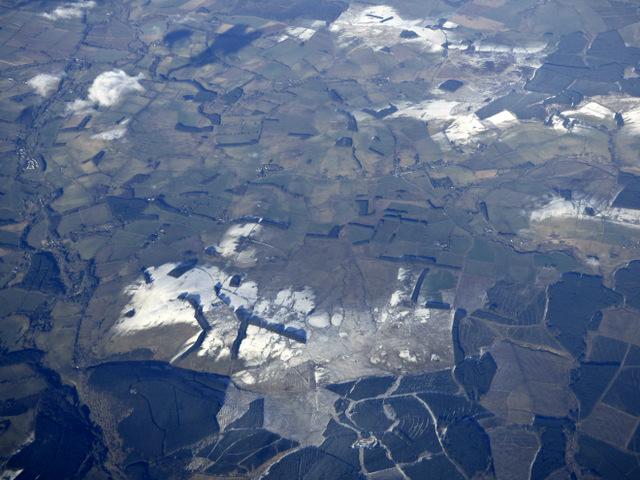
Peden's Cleuch is a picturesque valley located in the heart of Roxburghshire, a historic county in the Scottish Borders region of Scotland. Nestled within the rolling hills and lush green landscapes, this valley offers a serene and tranquil escape for nature enthusiasts and outdoor adventurers alike.
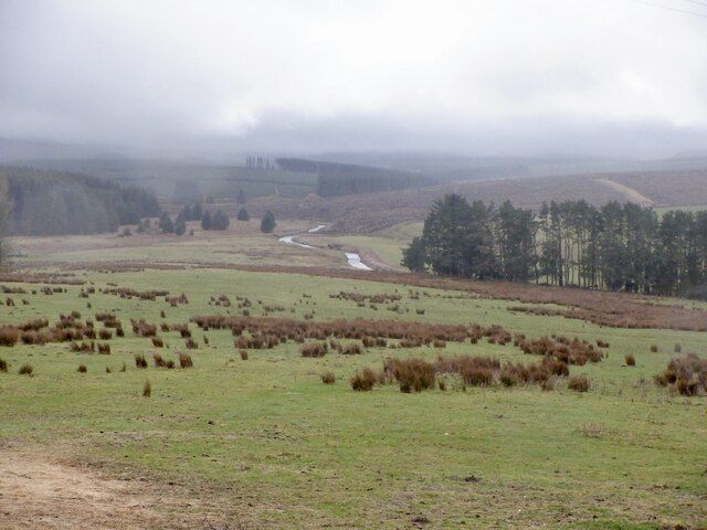
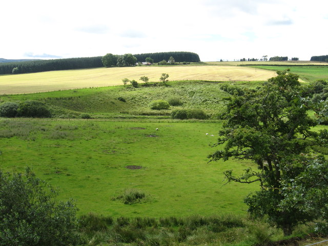
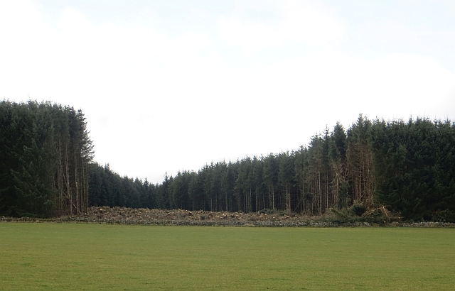
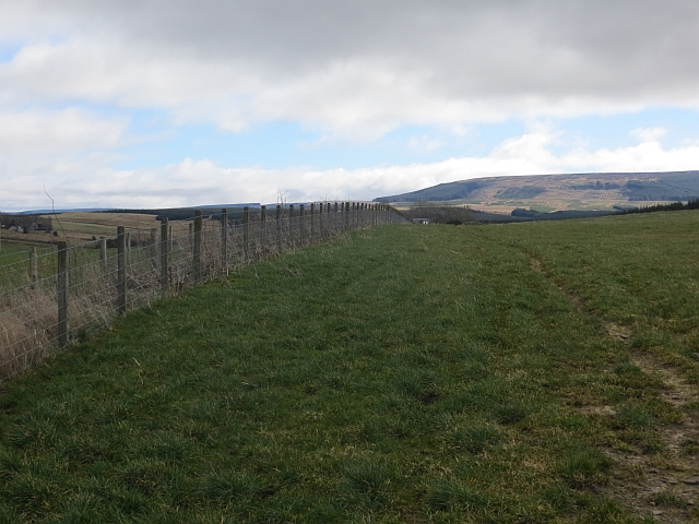
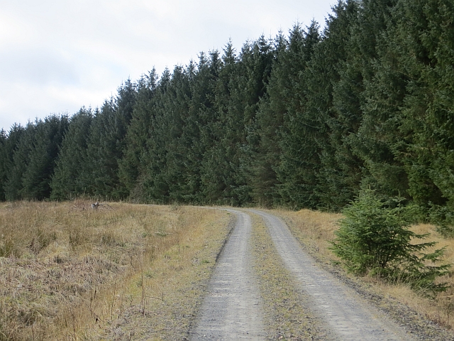
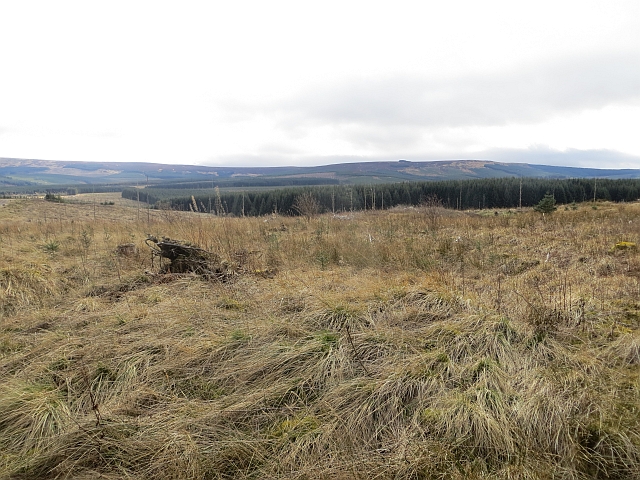
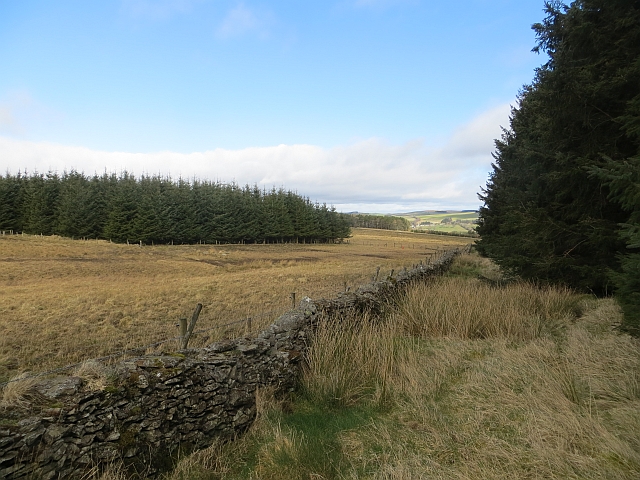
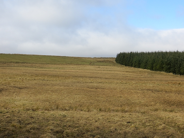
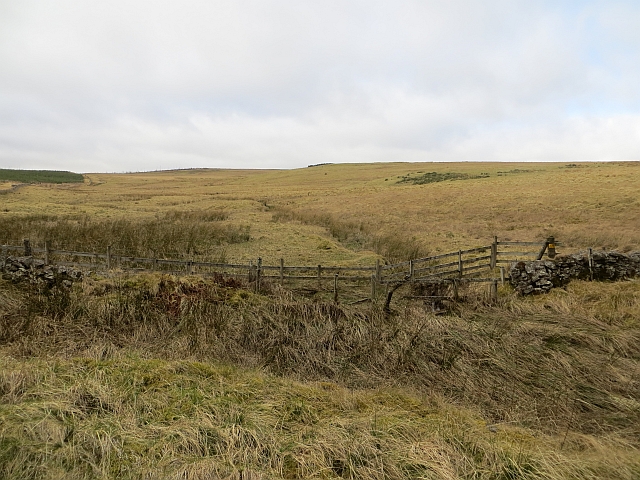
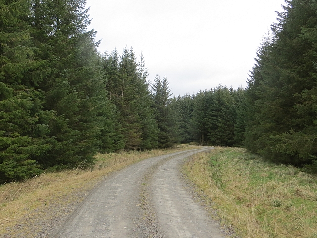
The cleuch stretches for approximately 5 miles, encompassing a diverse range of natural features and habitats. The valley is characterized by its steep-sided slopes, which are covered in a patchwork of heather moorland, grassy meadows, and dense woodlands. This rich and varied landscape is home to a plethora of wildlife, including red deer, various bird species, and the elusive Scottish wildcat.
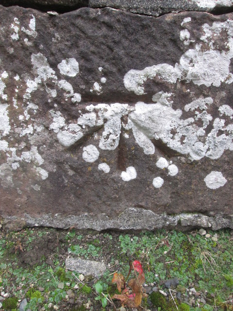
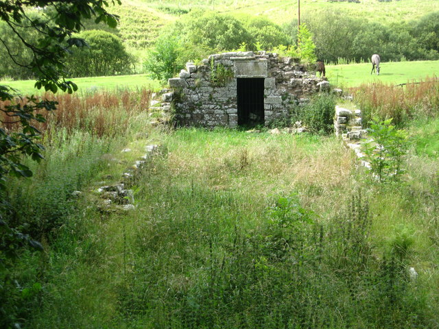
Peden's Cleuch is also steeped in history and folklore. Legend has it that the valley is named after Alexander Peden, a famous Covenanter preacher who sought refuge in the area during the 17th century. It is said that Peden used the natural caves and rock formations within the cleuch as hiding places from government forces during a time of religious persecution.
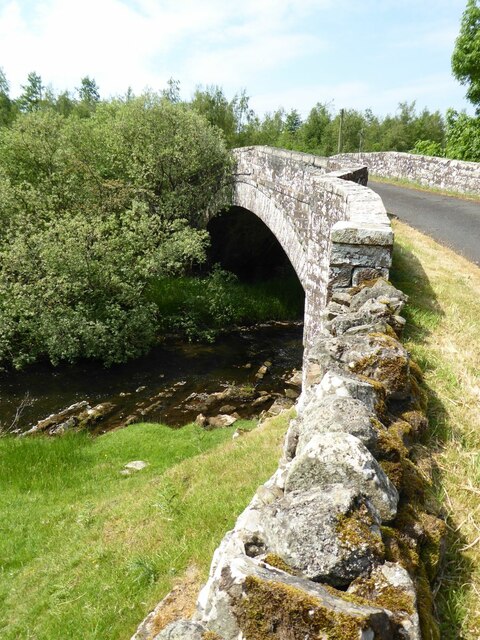
Visitors to Peden's Cleuch can explore the valley through a network of well-maintained walking trails, offering breathtaking views of the surrounding countryside. The cleuch is also a popular spot for birdwatching, photography, and picnicking. Additionally, there are opportunities for fishing in the nearby River Teviot, which runs through the valley.
Overall, Peden's Cleuch is a hidden gem in Roxburghshire, offering a blend of natural beauty, wildlife, and historical significance to those who venture into its enchanting embrace.
If you have any feedback on the listing, please let us know in the comments section below.
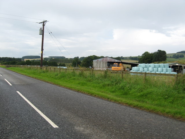
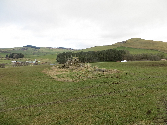
Peden's Cleuch Images
Images are sourced within 2km of 55.360106/-2.597803 or Grid Reference NT6207. Thanks to Geograph Open Source API. All images are credited.


Peden's Cleuch is located at Grid Ref: NT6207 (Lat: 55.360106, Lng: -2.597803)
Unitary Authority: The Scottish Borders
Police Authority: The Lothians and Scottish Borders
What 3 Words
///lion.attic.competent. Near Jedburgh, Scottish Borders
Nearby Locations
Related Wikis

Southdean
Southdean is a hamlet in the Scottish Borders area of Scotland, on the A6088, by the Jed Water and in the Wauchope Forest area. Other settlements nearby...

Wauchope, Scottish Borders
Wauchope is a hamlet in the Scottish Borders council area of Scotland, near Southdean. Wauchope House was demolished in 1932. == See also == Wauchope Forest...

Hobkirk
Hobkirk (Scottish Gaelic: Eaglais Ruail) is a village and civil parish in the Scottish Borders area of Scotland, by the Rule Water, south-west of Jedburgh...

Abbotrule
Abbotrule is a hamlet south of the B6357 road, in the Scottish Borders area of Scotland, on Rule Burn, east of the Rule Water. Places nearby include Bedrule...

Wauchope Forest
Wauchope Forest is a forest on the Rule Water, in the Scottish Borders area of Scotland, south of Hawick, and including the A6088, the A68 and the B6357...

Bonchester Bridge
Bonchester Bridge (Scots Binster Brig) is a village in Roxburghshire, within the Scottish Borders area of Scotland, lying on the Rule Water, six miles...

Scottish Borders
The Scottish Borders (Scots: the Mairches, lit. 'the Marches'; Scottish Gaelic: Crìochan na h-Alba) is one of 32 council areas of Scotland. It is bordered...

Hallrule
Hallrule is a hamlet on the B6357 road, in the Scottish Borders area of Scotland, on the Rule Water, near Abbotrule, Bedrule Bonchester Bridge, Denholm...
Nearby Amenities
Located within 500m of 55.360106,-2.597803Have you been to Peden's Cleuch?
Leave your review of Peden's Cleuch below (or comments, questions and feedback).