Wood of Auchaber
Wood, Forest in Aberdeenshire
Scotland
Wood of Auchaber
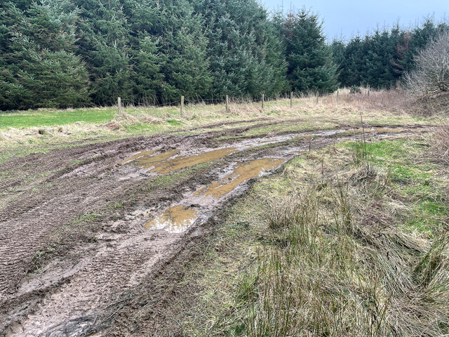
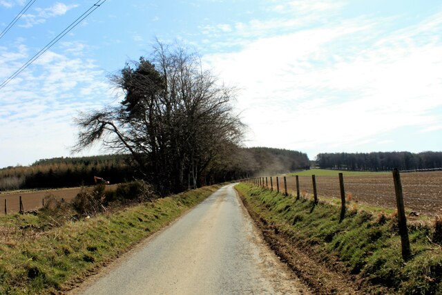
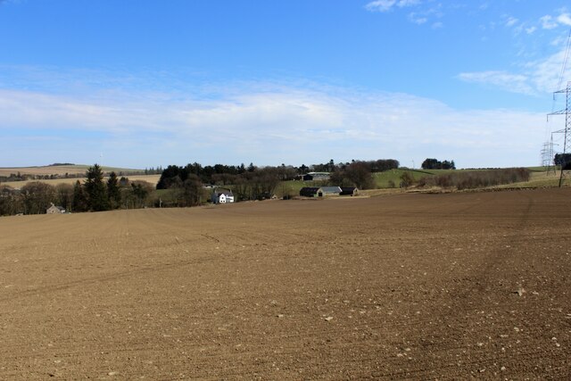
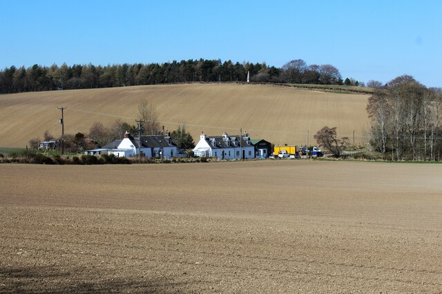
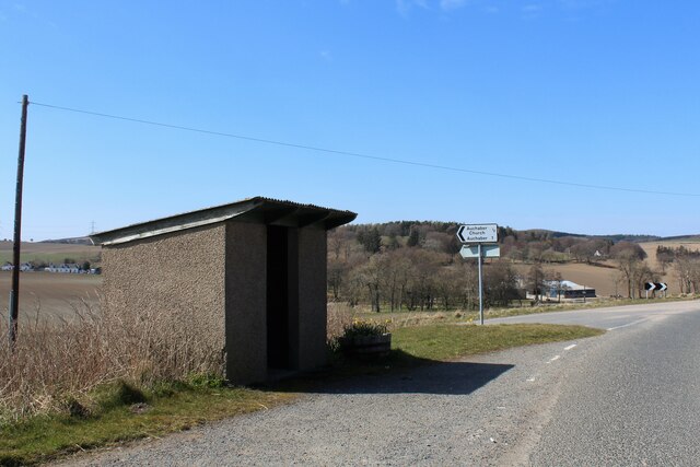
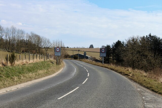
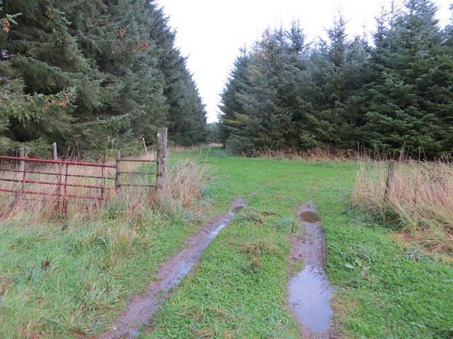
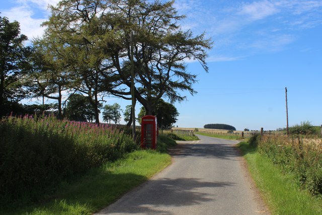
Wood of Auchaber is a picturesque forest located in Aberdeenshire, Scotland. Covering an area of approximately 100 hectares, this beautiful woodland is a haven for nature enthusiasts and outdoor lovers. The forest is situated near the village of Auchaber, just a short distance from the bustling town of Banchory.
The Wood of Auchaber is predominantly made up of a mixture of broadleaf and coniferous trees, including oak, birch, pine, and spruce. These trees create a diverse and vibrant ecosystem, providing a habitat for a wide range of wildlife. Visitors to the forest may have the opportunity to spot various bird species, such as woodpeckers, jays, and tawny owls, as well as mammals like red squirrels, roe deer, and badgers.
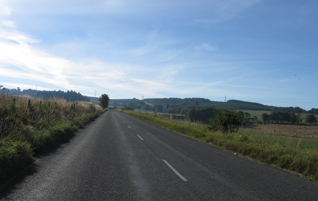
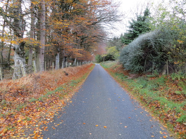
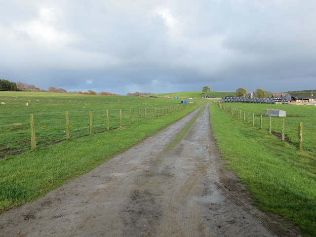
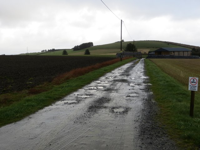
The forest offers a network of well-maintained walking trails, allowing visitors to explore its enchanting beauty at their own pace. These trails cater to all levels of fitness and provide stunning views of the surrounding countryside. Additionally, there are picnic areas scattered throughout the forest, providing the perfect spot for a peaceful lunch amidst nature.
Wood of Auchaber also has a rich history, with remnants of ancient settlements and archaeological sites dating back thousands of years. The forest has been carefully preserved and managed to protect its ecological importance and historical significance.
Overall, Wood of Auchaber offers a tranquil escape from the hustle and bustle of everyday life, where visitors can immerse themselves in the natural beauty of Aberdeenshire.
If you have any feedback on the listing, please let us know in the comments section below.
Wood of Auchaber Images
Images are sourced within 2km of 57.451793/-2.6193201 or Grid Reference NJ6240. Thanks to Geograph Open Source API. All images are credited.


Wood of Auchaber is located at Grid Ref: NJ6240 (Lat: 57.451793, Lng: -2.6193201)
Unitary Authority: Aberdeenshire
Police Authority: North East
What 3 Words
///challenge.guarded.deliver. Near Huntly, Aberdeenshire
Nearby Locations
Related Wikis

Frendraught Castle
Frendraught Castle or House is a 17th-century house, about 6 miles (9.7 km) east of Huntly, Aberdeenshire, Scotland, and 1 mile (1.6 km) west of Largue...

Ythanwells
Ythanwells () is a village in the Marr area of Aberdeenshire, Scotland, lying 10.6 kilometres (6.6 mi) east of Huntly. The village is sometimes known...

Ythan Wells
Ythan Wells, also known as Glenmailen, is the site of a Roman military camp, near the farm of Glenmellan, 2.1 kilometres (1.3 mi) east of the village of...
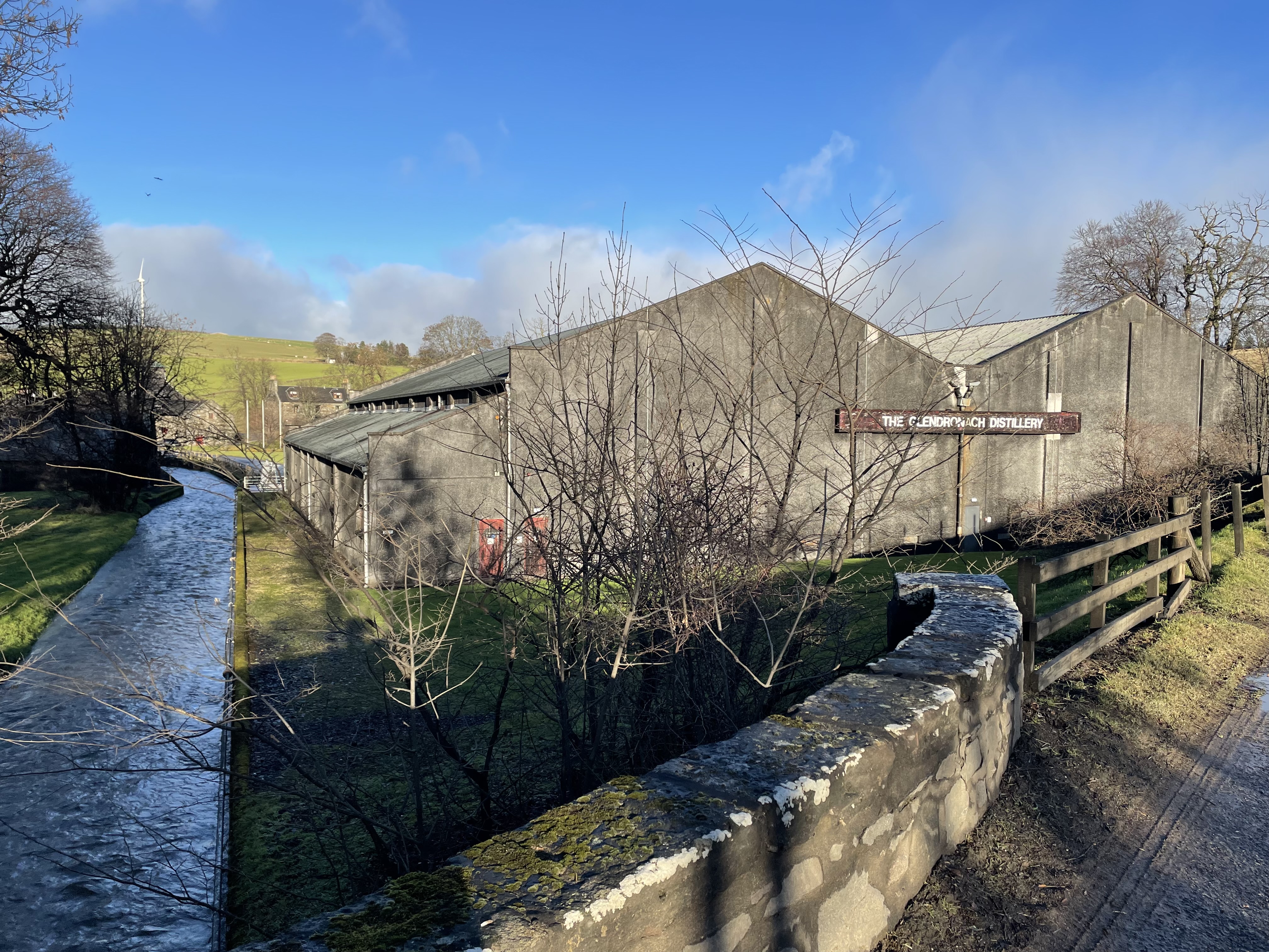
Glendronach distillery
Glendronach distillery is a Scottish whisky distillery located near Forgue, by Huntly, Aberdeenshire, in the Highland whisky district. It was owned by...
Forgue
Forgue is a hamlet in Aberdeenshire. It lies 35 miles (56 km) northwest of Aberdeen and 8 miles (13 km) northeast of Huntly. The Glendronach distillery...

Drumblade
Drumblade is a hamlet in north-western Aberdeenshire, Scotland, which lies 4¾ miles east of the town of Huntly. == Schools == Drumblade Primary School...
Brideswell, Aberdeenshire
Brideswell (Scottish Gaelic: Tobar Bhrìde) is a village in Aberdeenshire, Scotland. It is named in honour of Brigid of Ireland.

Lessendrum
Lessendrum is a ruinous fortified house situated 7.65 kilometres (4.75 mi) to the north of Huntly, Aberdeenshire, Scotland. It is on the Buildings at Risk...
Nearby Amenities
Located within 500m of 57.451793,-2.6193201Have you been to Wood of Auchaber?
Leave your review of Wood of Auchaber below (or comments, questions and feedback).