Stell Plantation

Wood, Forest in Berwickshire

Scotland

Stell Plantation

Flight pool One of a pair recently dug to attract ducks. They were populated with mallard and teal on this occasion. The former conifer wood on the site was felled and replanted.
Flight pool Credit: Richard Webb

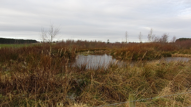
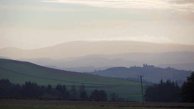
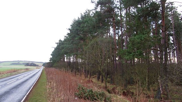
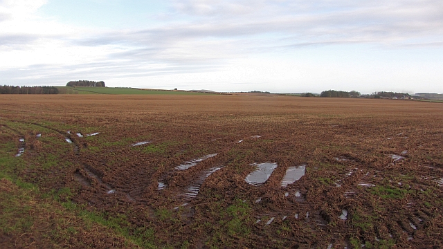
Stell Plantation is a picturesque woodland located in Berwickshire, Scotland. Nestled amidst the rolling hills and lush greenery, it is a haven for nature enthusiasts and those seeking tranquility in a serene setting. Covering an area of approximately 200 acres, the plantation is primarily composed of native broadleaf trees such as oak, birch, and beech, creating a diverse and thriving ecosystem.

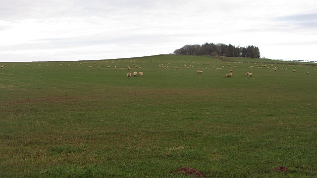
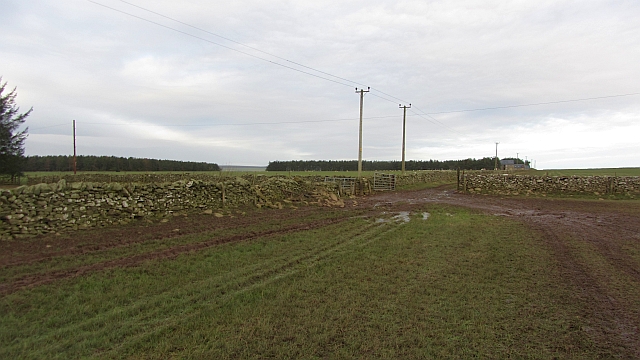
The woodland is crisscrossed by a network of well-maintained trails, making it easily accessible for visitors of all ages and abilities. These paths offer stunning views of the surrounding countryside and provide opportunities for walking, jogging, or simply admiring the natural beauty that abounds in the area. The plantation is also home to a variety of wildlife, including deer, foxes, and a multitude of bird species, making it a popular spot for birdwatching and wildlife photography.

Stell Plantation is not only a haven for flora and fauna, but it also has historical significance. The woodland has been carefully managed for centuries, with evidence of human activity dating back to the medieval period. It was once part of a larger estate and has been a working plantation for timber production, providing a sustainable source of wood for local industries.

Today, Stell Plantation continues to be cherished and protected by the local community and conservation organizations. Its natural beauty, rich biodiversity, and historical importance combine to make it a truly special place that offers a peaceful escape from the hustle and bustle of modern life.

If you have any feedback on the listing, please let us know in the comments section below.

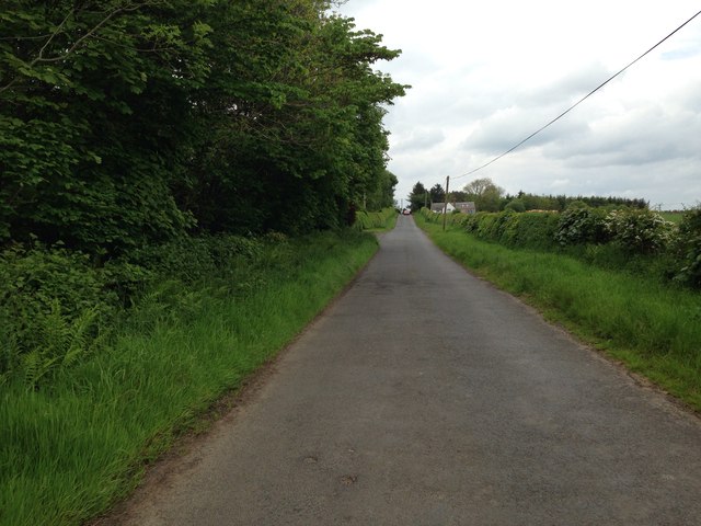
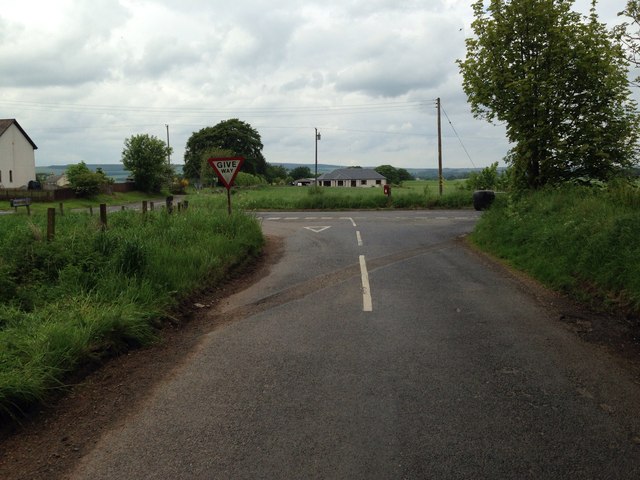
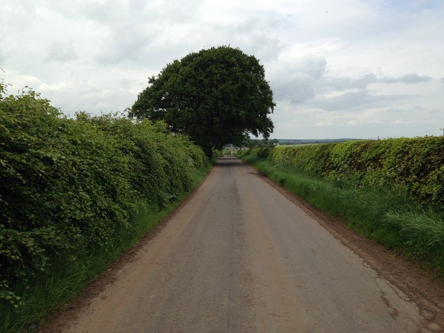
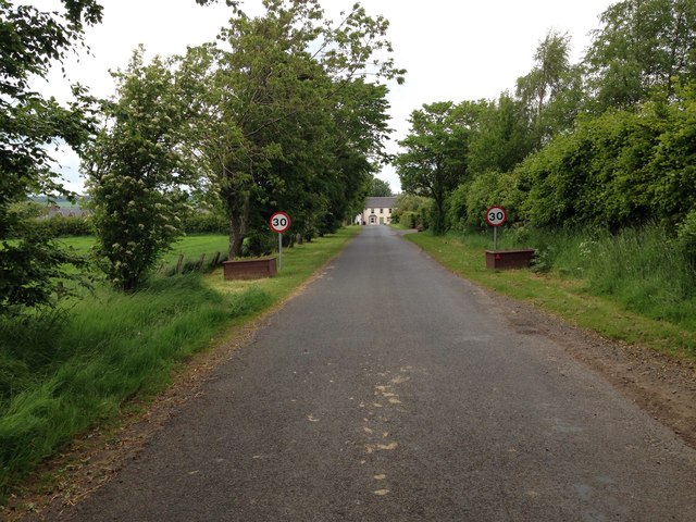
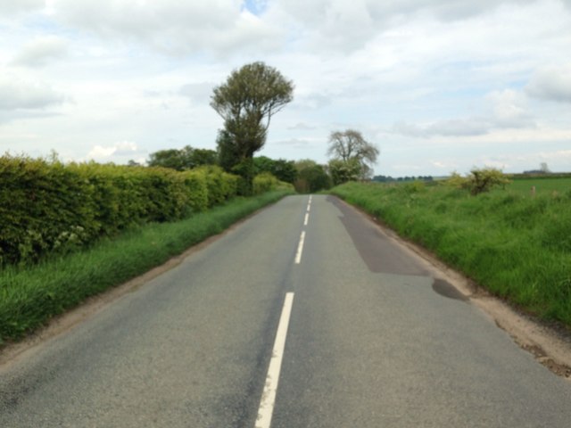
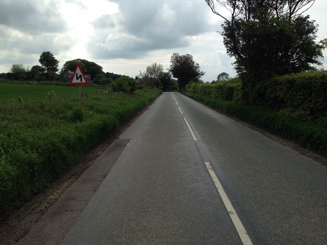
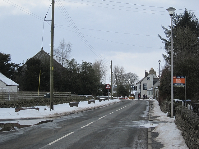
Stell Plantation Images

Images are sourced within 2km of 55.724713/-2.591964 or Grid Reference NT6248. Thanks to Geograph Open Source API. All images are credited.

Flight pool One of a pair recently dug to attract ducks. They were populated with mallard and teal on this occasion. The former conifer wood on the site was felled and replanted.
Flight pool
One of a pair recently dug to attract ducks. They were populated with mallard and teal on this occasion. The former conifer wood on the site was felled and replanted.
Hare Law A tree topped hill with grazing sheep. There are many electric fences here which suggests that cattle are also grazed here.
Hare Law
A tree topped hill with grazing sheep. There are many electric fences here which suggests that cattle are also grazed here.
Approaching warm front Heralding the next lot of rain and probably unpleasantly mild weather, The Cheviot <a href="https://www.geograph.org.uk/photo/279853">NT9020 : The Cheviot trig point</a> is streaming cloud.  An hour early the sky was almost cloudless and the earth frostbound. Now temperatures are rising, the sky going from milky to cloudy and cloud is condensing where air is forced to rise by the 800m high hill.
Hume Castle <a href="https://www.geograph.org.uk/photo/1467885">NT7041 : Hume Castle</a> is silhouetted against one of the distant hills.
Approaching warm front
Heralding the next lot of rain and probably unpleasantly mild weather, The Cheviot NT9020 : The Cheviot trig point is streaming cloud. An hour early the sky was almost cloudless and the earth frostbound. Now temperatures are rising, the sky going from milky to cloudy and cloud is condensing where air is forced to rise by the 800m high hill. Hume Castle NT7041 : Hume Castle is silhouetted against one of the distant hills.
Houndslow Strip A big strip wood in a landscape of strip woods. It runs beside the A697.
Houndslow Strip
A big strip wood in a landscape of strip woods. It runs beside the A697.
Stubble Arable land south of the Lammermuir Hills.
Stubble
Arable land south of the Lammermuir Hills.
Gates, Hyndberry Gates and a track over Hare Law south of Westruther. It is signposted as a path from the A697 and is part of a route from Gordon to Westruther.
Gates, Hyndberry
Gates and a track over Hare Law south of Westruther. It is signposted as a path from the A697 and is part of a route from Gordon to Westruther.
Gate latch This kind of latch has a cunningly curved hook which makes fastening the gate very easy. A clip prevents accidental opening.
Gate latch
This kind of latch has a cunningly curved hook which makes fastening the gate very easy. A clip prevents accidental opening.
B6456 through Thornydykes Thornydykes is a hamlet southwest of Westruther on the B6456.
B6456 through Thornydykes
Thornydykes is a hamlet southwest of Westruther on the B6456.
Minor road near Houndslow
Road junction at Houndslow
Minor road near Broomiebank
Minor road at Westruther
B6456 near Westruther
B6456 near Thornydykes
The organ at Westruther Kirk Situated in the former Laird's Loft.
The origins of the Westruther church lies in the mid 17th. century when the original church was built just yards to the north of the present kirk. The wonderful ruins of the old church, which contains the Spottiswoode Aisle, are presently fenced off because of safety issues. Though the parish was raised with the old church, there is evidence of much worship in the area especially at Bassendean where the remains of an ancient chapel still exist.

From : The Village Kirks of the Borders of Scotland.
The organ at Westruther Kirk
Situated in the former Laird's Loft. The origins of the Westruther church lies in the mid 17th. century when the original church was built just yards to the north of the present kirk. The wonderful ruins of the old church, which contains the Spottiswoode Aisle, are presently fenced off because of safety issues. Though the parish was raised with the old church, there is evidence of much worship in the area especially at Bassendean where the remains of an ancient chapel still exist. From : The Village Kirks of the Borders of Scotland.
Westruther Not as much snow on the inland side of the Lammermuir Hills as over on the seaward side.
Westruther
Not as much snow on the inland side of the Lammermuir Hills as over on the seaward side.
Westruther The Old Thistle Inn in Westruther. The inn dates from 1721.
Westruther
The Old Thistle Inn in Westruther. The inn dates from 1721.
Show me another place!

Stell Plantation is located at Grid Ref: NT6248 (Lat: 55.724713, Lng: -2.591964)

Unitary Authority: The Scottish Borders

Police Authority: The Lothians and Scottish Borders

What 3 Words

///guides.clouding.camper. Near Lauder, Scottish Borders

Nearby Locations

Stell Plantation

Related Wikis

Houndslow

Houndslow is a hamlet in the Scottish Borders area of Scotland. It is situated on the A697, about 5 miles (8.0 km) west of Greenlaw, and 3 miles (4.8 km...

Westruther

Westruther is a village on the B6465, in the Scottish Borders area of Scotland, on the lower slopes of the Lammermuir Hills, in the former Berwickshire...

Bassendean, Scottish Borders

Bassendean is a village in the Scottish Borders area of Scotland, 4 kilometres (2.5 mi) south of Westruther and 3 kilometres (1.9 mi) north-west of Gordon...

Blackadder Water

Blackadder Water () is a river in Berwickshire in the Scottish Borders area of Scotland, forming part of the River Tweed system. It reached 2.84m at Mouthbridge...

Nearby Amenities

Located within 500m of 55.724713,-2.591964
Power: pole
Lat/Long: 55.726489/-2.5848517
Power: pole
Lat/Long: 55.7257409/-2.5850858
Power: pole
Lat/Long: 55.7250013/-2.5853022
Power: pole
Lat/Long: 55.724256/-2.585521
Power: pole
Lat/Long: 55.7234074/-2.585773
Power: pole
Lat/Long: 55.7225431/-2.5860428
Power: pole
Lat/Long: 55.7217103/-2.5862871
The data included in this document is from www.openstreetmap.org. The data is made available under ODbL.

Have you been to Stell Plantation?

Leave your review of Stell Plantation below (or comments, questions and feedback).