Long Plantation

Wood, Forest in Roxburghshire

Scotland

Long Plantation

St Cuthbert's Way The boardwalk avoids the wet woodland further down the bank.
Not the most exciting section of the way with no views through the trees.
St Cuthbert's Way Credit: Russel Wills

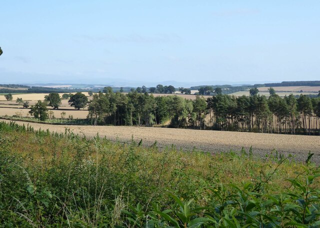
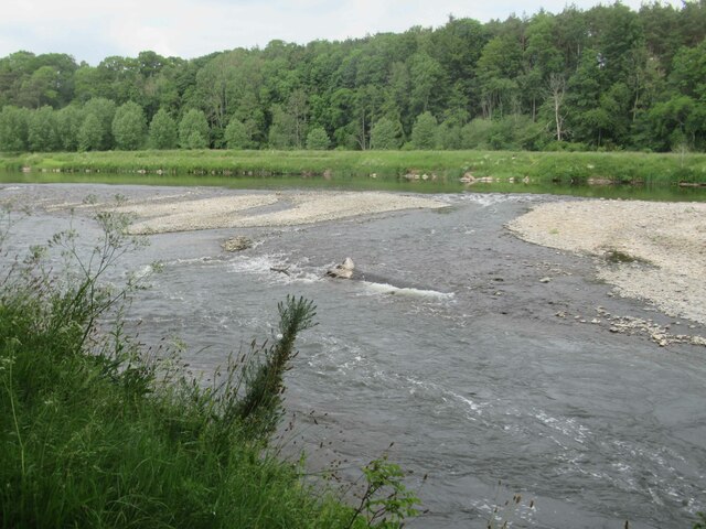
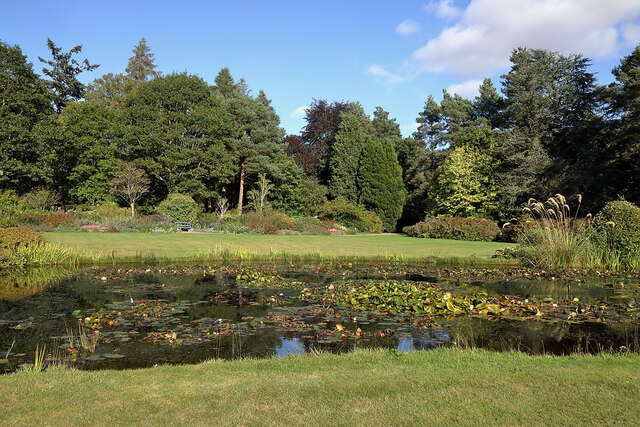
Long Plantation is a picturesque woodland located in Roxburghshire, Scotland. Spanning approximately 200 hectares, this forest is characterized by its dense growth of tall trees, creating a serene and tranquil atmosphere. The plantation is situated in the heart of the Scottish Borders, near the small village of Longtown.

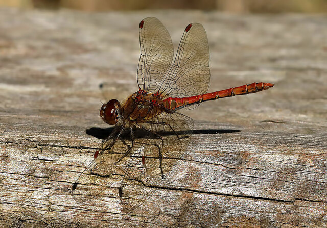
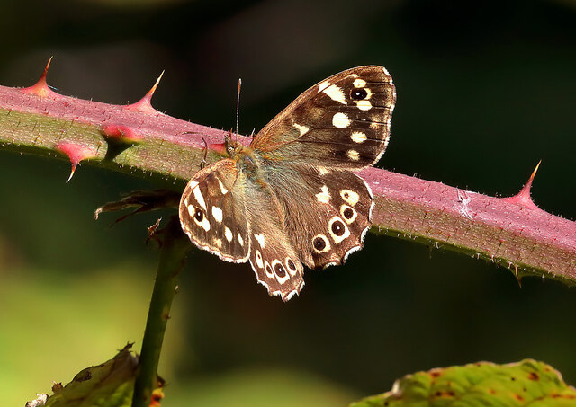
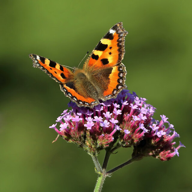
The primary tree species found in Long Plantation are conifers, including Scots pine, Douglas fir, and Sitka spruce. These evergreen trees provide a rich canopy, offering a habitat for various bird species, such as woodpeckers, owls, and crossbills. Additionally, the forest floor is carpeted with a diverse array of flora, including ferns, mosses, and wildflowers, further enhancing its natural beauty.

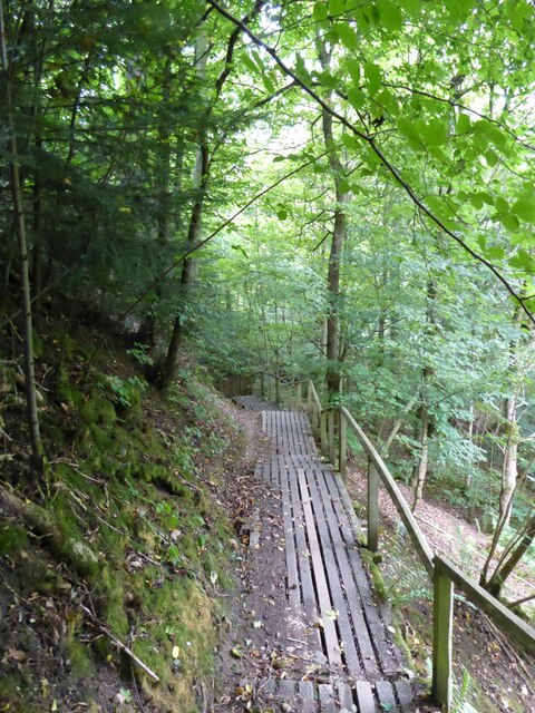
Long Plantation offers a range of recreational activities for nature enthusiasts and outdoor lovers. The forest is crisscrossed by well-maintained walking trails, allowing visitors to explore the woodland and enjoy its splendor. The trails cater to different levels of difficulty, accommodating both casual strollers and avid hikers. Along these paths, visitors may encounter wildlife such as deer, squirrels, and rabbits.

The tranquil setting of Long Plantation makes it an ideal location for nature photography, birdwatching, and picnicking. The peaceful ambiance and breathtaking views also attract many artists and writers seeking inspiration from the surrounding natural beauty.

Managed by a local forestry commission, Long Plantation ensures the preservation and maintenance of its ecological balance. The plantation serves as an important carbon sink, contributing to the reduction of greenhouse gases and the mitigation of climate change.

In conclusion, Long Plantation in Roxburghshire is a captivating woodland that offers a sanctuary for wildlife and a haven for nature enthusiasts. Its towering trees, diverse flora, and well-maintained trails make it a popular destination for those seeking solace in the heart of nature.

If you have any feedback on the listing, please let us know in the comments section below.

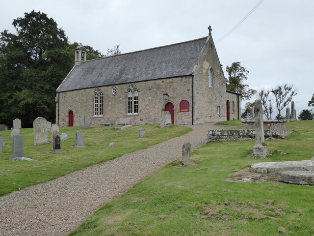
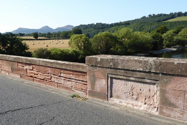
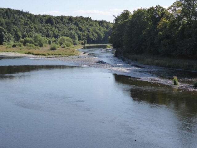
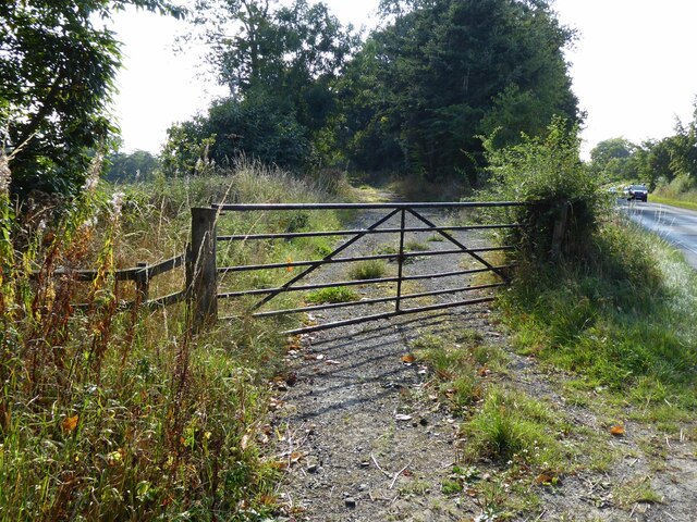
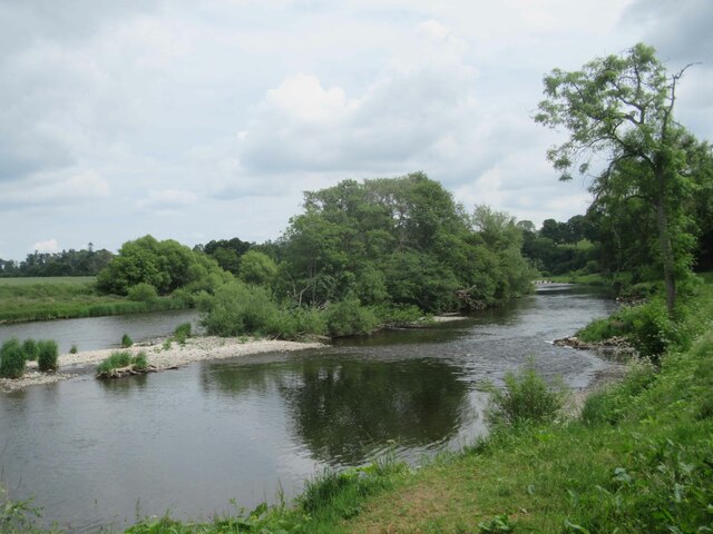
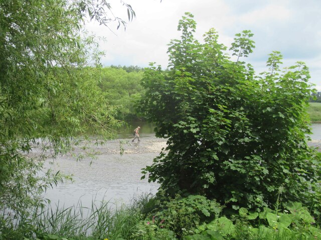
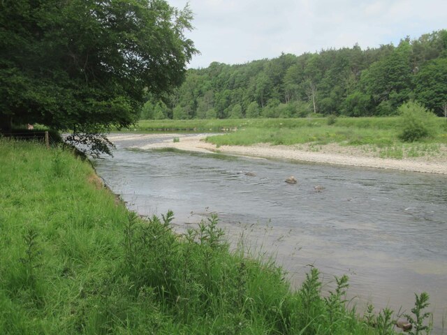
Long Plantation Images

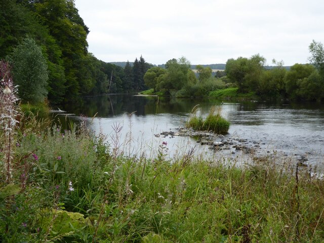
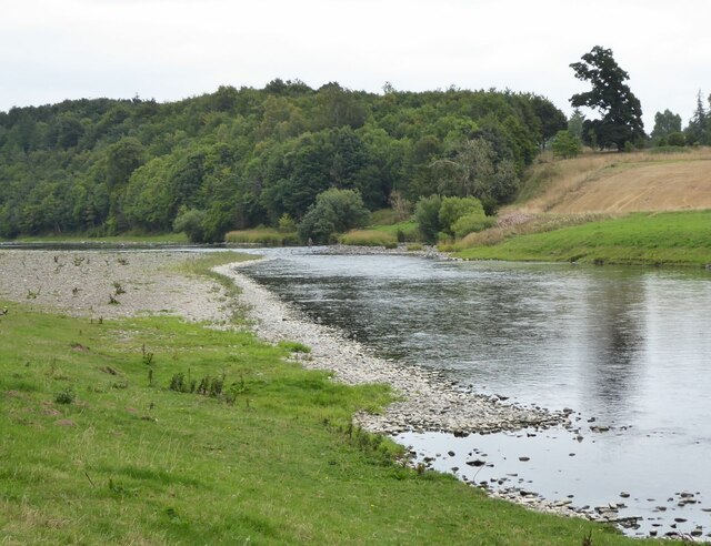
Images are sourced within 2km of 55.572671/-2.5940193 or Grid Reference NT6231. Thanks to Geograph Open Source API. All images are credited.

St Cuthbert's Way The boardwalk avoids the wet woodland further down the bank.
Not the most exciting section of the way with no views through the trees.
St Cuthbert's Way
The boardwalk avoids the wet woodland further down the bank. Not the most exciting section of the way with no views through the trees.
The River Tweed  St Cuthbert's Way passes along the bank, through tall weeds, below Benrig.
The River Tweed
St Cuthbert's Way passes along the bank, through tall weeds, below Benrig.
Fisherman in River Tweed Viewed from St Cuthbert's Way.
Fisherman in River Tweed
Viewed from St Cuthbert's Way.
Glebe House By the kirk at Maxton.
Glebe House
By the kirk at Maxton.
Maxton Kirk 'There is reputed to have been a church on or near the present site for close on 1000 years. In 1322 Edward II and his men destroyed Dryburgh Abbey on his retreat from Edinburgh. In revengeful mood, the English army set it on fire. 'One result of this destruction was the gift of Maxton Church, one of the last of such ecclesiastical possessions to become the property of the Abbey.'
<span class="nowrap"><a title="https://www.dryburghdistrictchurches.org/maxton-kirk-history.html" rel="nofollow ugc noopener" href="https://www.dryburghdistrictchurches.org/maxton-kirk-history.html">Link</a><img style="margin-left:2px;" alt="External link" title="External link - shift click to open in new window" src="https://s1.geograph.org.uk/img/external.png" width="10" height="10"/></span>
Maxton Kirk
'There is reputed to have been a church on or near the present site for close on 1000 years. In 1322 Edward II and his men destroyed Dryburgh Abbey on his retreat from Edinburgh. In revengeful mood, the English army set it on fire. 'One result of this destruction was the gift of Maxton Church, one of the last of such ecclesiastical possessions to become the property of the Abbey.' LinkExternal link
Ordnance Survey cut mark On Mertoun Bridge.
With backdrop of River Tweed and the Eildon Hills.
(Better than the usual buried in a hedge location!)
Ordnance Survey cut mark
On Mertoun Bridge. With backdrop of River Tweed and the Eildon Hills. (Better than the usual buried in a hedge location!)
View downstream from Mertoun Bridge With island in the River Tweed.
View downstream from Mertoun Bridge
With island in the River Tweed.
Gated track off B6404 Leading to the woods at Danderhall.
Gated track off B6404
Leading to the woods at Danderhall.
Arable land east of Danderhall Looking into the valley of the River Tweed.
Arable land east of Danderhall
Looking into the valley of the River Tweed.
River Tweed
River Tweed
Fisherman in the middle of the River Tweed
River Tweed
River Tweed
River Tweed
River Tweed
Direction Sign – Signpost on the A699 at Maxton Located at Maxton, on the southeast side of the junction of the A699 and an unclassified road to the A68 and Longnewton. 1 arm and annulus finial. Roxburghshire MDC stands for Middle District Committee. See also <a title="https://www.geograph.org.uk/photo/5397779" href="https://www.geograph.org.uk/photo/5397779">Link</a> and <a title="https://www.geograph.org.uk/photo/397930" href="https://www.geograph.org.uk/photo/397930">Link</a>.

Milestone Society National ID: RX_NT6130
Direction Sign – Signpost on the A699 at Maxton
Located at Maxton, on the southeast side of the junction of the A699 and an unclassified road to the A68 and Longnewton. 1 arm and annulus finial. Roxburghshire MDC stands for Middle District Committee. See also Link and Link. Milestone Society National ID: RX_NT6130
A male common darter (Sympetrum striolatum) This small narrow-bodied dragonfly was photographed at Mertoun House Estate.
A male common darter (Sympetrum striolatum)
This small narrow-bodied dragonfly was photographed at Mertoun House Estate.
A speckled wood butterfly (Pararge aegeria) The butterfly was photographed at Mertoun House Estate.
A speckled wood butterfly (Pararge aegeria)
The butterfly was photographed at Mertoun House Estate.
A pond at Mertoun House gardens
A small tortoiseshell butterfly (Aglais urticae) Many butterflies were in Mertoun House gardens on this warm September afternoon.
A small tortoiseshell butterfly (Aglais urticae)
Many butterflies were in Mertoun House gardens on this warm September afternoon.
Show me another place!

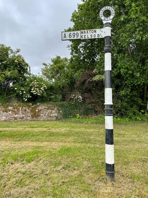
Long Plantation is located at Grid Ref: NT6231 (Lat: 55.572671, Lng: -2.5940193)

Unitary Authority: The Scottish Borders

Police Authority: The Lothians and Scottish Borders

What 3 Words

///cared.month.grudging. Near Saint Boswells, Scottish Borders

Related Wikis

Nearby Amenities

Located within 500m of 55.572671,-2.5940193
Littledean
Place: isolated_dwelling
Lat/Long: 55.5713543/-2.5956739
Ploughlands
Place: hamlet
Lat/Long: 55.5696127/-2.5933276
Natural: peak
Lat/Long: 55.5727483/-2.5891578
The data included in this document is from www.openstreetmap.org. The data is made available under ODbL.

Have you been to Long Plantation?

Leave your review of Long Plantation below (or comments, questions and feedback).