Willowbush Stream

Lake, Pool, Pond, Freshwater Marsh in Roxburghshire

Scotland

Willowbush Stream

St Cuthbert's Way The boardwalk avoids the wet woodland further down the bank.
Not the most exciting section of the way with no views through the trees.
St Cuthbert's Way Credit: Russel Wills

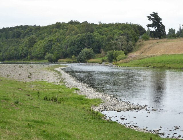
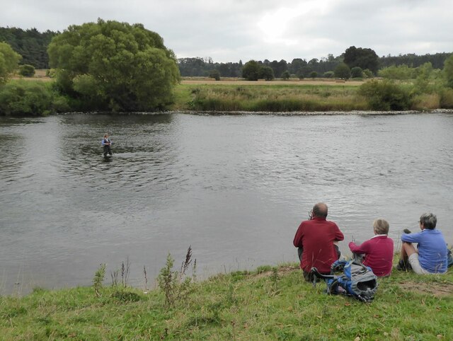
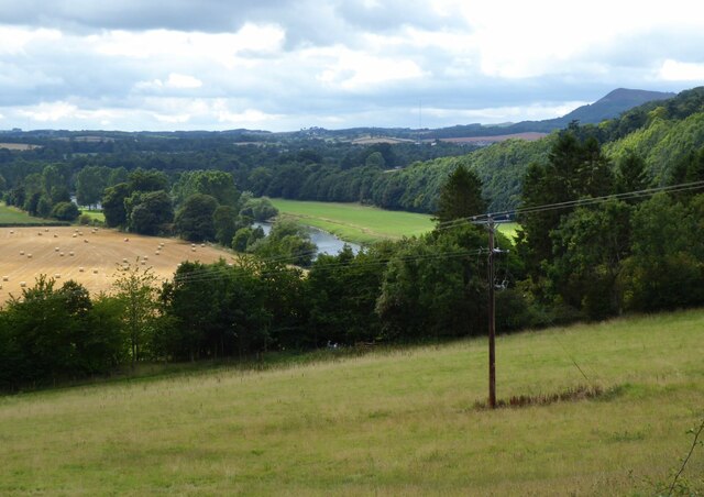
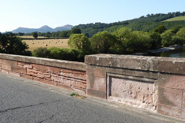
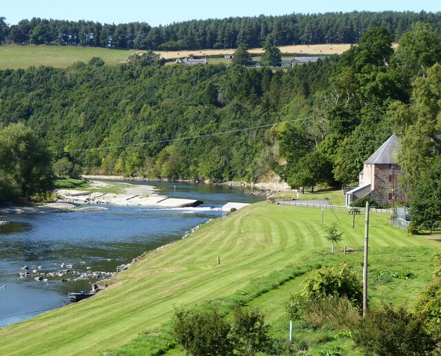
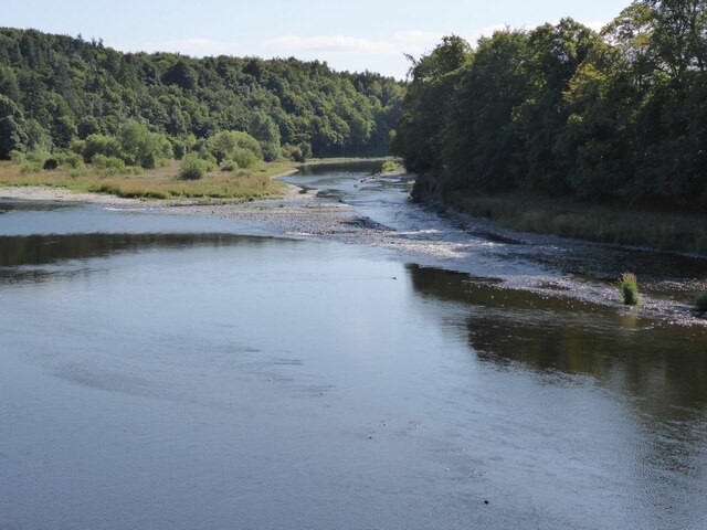
Willowbush Stream is a meandering waterway located in Roxburghshire, a historic county in the Scottish Borders region of Scotland. This picturesque stream is often referred to as a freshwater marsh due to its unique ecosystem and surrounding vegetation.

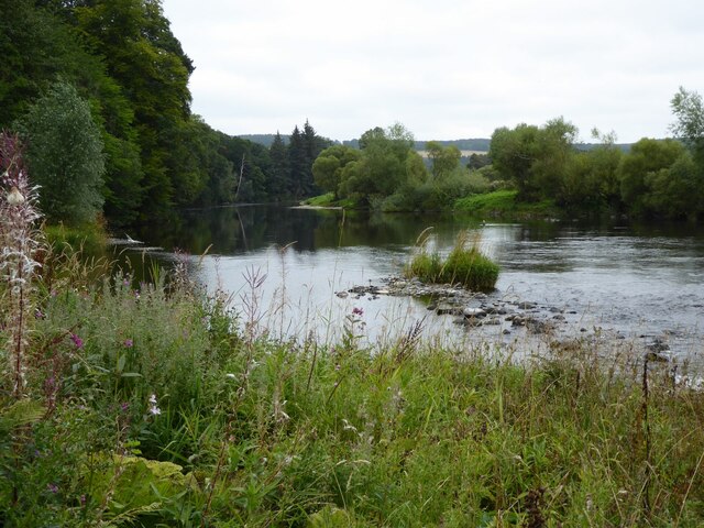
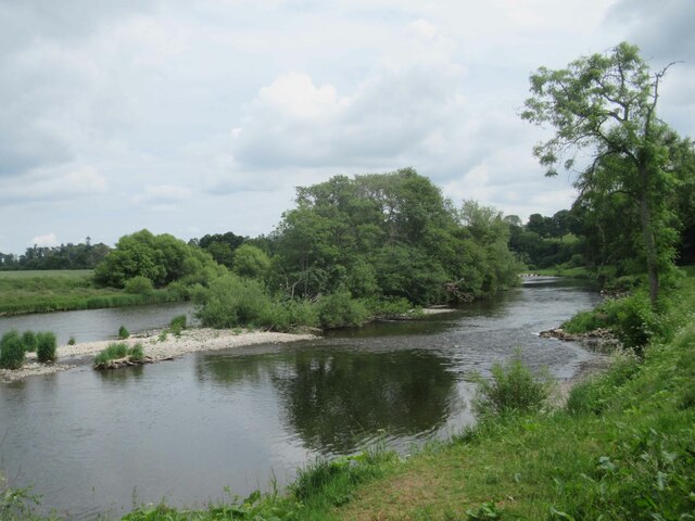
The stream itself is relatively small, with a width ranging from 3 to 5 meters (10 to 16 feet) and a depth of approximately 0.5 meters (1.6 feet). It originates from natural springs and tributaries in the nearby hills, ensuring a constant flow of fresh water throughout the year. The water in Willowbush Stream is crystal clear and boasts a diverse range of aquatic life, including small fish, frogs, and various invertebrates.

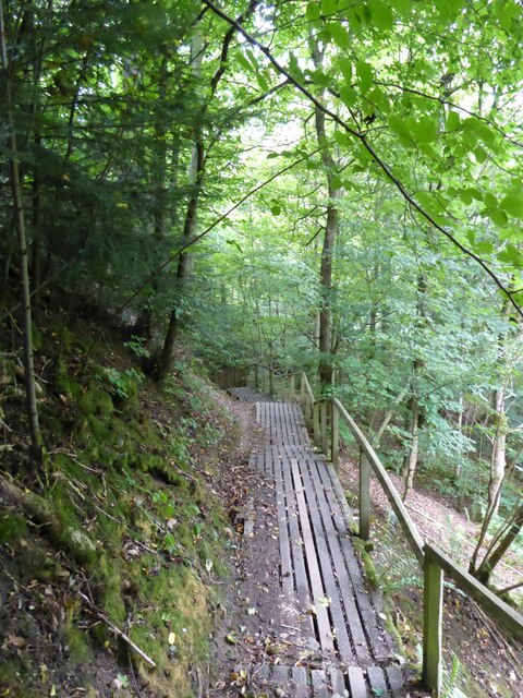
Surrounding the stream is a lush, verdant landscape composed of a wide variety of plant species. Willow trees, from which the stream derives its name, dominate the immediate vicinity and provide shade and shelter for the fragile ecosystem. Other plants such as reeds, rushes, and water lilies flourish along the stream's banks, creating a vibrant and colorful environment.

The tranquil ambiance of Willowbush Stream makes it a popular spot for local wildlife enthusiasts and nature lovers. The stream attracts numerous bird species, including ducks, herons, and kingfishers, which can often be spotted fishing or nesting along its banks. Additionally, small mammals such as otters and water voles have been known to make their homes in the surrounding area.

Overall, Willowbush Stream in Roxburghshire is a charming and ecologically significant freshwater marsh, offering a glimpse into the rich and diverse natural heritage of the region.

If you have any feedback on the listing, please let us know in the comments section below.

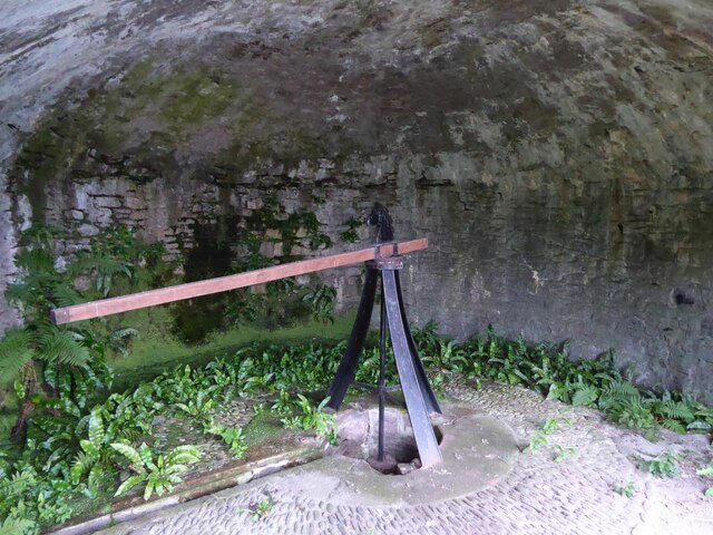
Willowbush Stream Images

Images are sourced within 2km of 55.5771/-2.5996217 or Grid Reference NT6231. Thanks to Geograph Open Source API. All images are credited.

St Cuthbert's Way The boardwalk avoids the wet woodland further down the bank.
Not the most exciting section of the way with no views through the trees.
St Cuthbert's Way
The boardwalk avoids the wet woodland further down the bank. Not the most exciting section of the way with no views through the trees.
The River Tweed  St Cuthbert's Way passes along the bank, through tall weeds, below Benrig.
The River Tweed
St Cuthbert's Way passes along the bank, through tall weeds, below Benrig.
The Crystal Well A spring originally supplying clean water for Benrig House.
In the mid 1800s the Elliot family built a pump to bring water up to the house, much more convenient than sending a maid down with a bucket!
The Crystal Well
A spring originally supplying clean water for Benrig House. In the mid 1800s the Elliot family built a pump to bring water up to the house, much more convenient than sending a maid down with a bucket!
Every Modern Convenience A plaque on the wall listing the technological progressions involved in getting water up to Benrig House.
Every Modern Convenience
A plaque on the wall listing the technological progressions involved in getting water up to Benrig House.
Donkey or mule power house This chamber, above the Crystal Well, housed the animals that trudged in circles round the room to power the adjacent pump that pumped the water up to Benrig House. See <a title="https://www.geograph.org.uk/photo/6955163" href="https://www.geograph.org.uk/photo/6955163">Link</a>
Donkey or mule power house
This chamber, above the Crystal Well, housed the animals that trudged in circles round the room to power the adjacent pump that pumped the water up to Benrig House. See Link
Gateway to Benrig The house overlooks the River Tweed.
Gateway to Benrig
The house overlooks the River Tweed.
Fisherman in River Tweed Viewed from St Cuthbert's Way.
Fisherman in River Tweed
Viewed from St Cuthbert's Way.
Fishing as a spectator sport! Walkers on St Cuthbert's Way watch a lady fishing in the River Tweed.
Fishing as a spectator sport!
Walkers on St Cuthbert's Way watch a lady fishing in the River Tweed.
River Tweed Near Clintmains.
Pity about the electricity pole!
River Tweed
Near Clintmains. Pity about the electricity pole!
Glebe House By the kirk at Maxton.
Glebe House
By the kirk at Maxton.
Maxton Kirk 'There is reputed to have been a church on or near the present site for close on 1000 years. In 1322 Edward II and his men destroyed Dryburgh Abbey on his retreat from Edinburgh. In revengeful mood, the English army set it on fire. 'One result of this destruction was the gift of Maxton Church, one of the last of such ecclesiastical possessions to become the property of the Abbey.'
<span class="nowrap"><a title="https://www.dryburghdistrictchurches.org/maxton-kirk-history.html" rel="nofollow ugc noopener" href="https://www.dryburghdistrictchurches.org/maxton-kirk-history.html">Link</a><img style="margin-left:2px;" alt="External link" title="External link - shift click to open in new window" src="https://s1.geograph.org.uk/img/external.png" width="10" height="10"/></span>
Maxton Kirk
'There is reputed to have been a church on or near the present site for close on 1000 years. In 1322 Edward II and his men destroyed Dryburgh Abbey on his retreat from Edinburgh. In revengeful mood, the English army set it on fire. 'One result of this destruction was the gift of Maxton Church, one of the last of such ecclesiastical possessions to become the property of the Abbey.' LinkExternal link
Ordnance Survey cut mark On Mertoun Bridge.
With backdrop of River Tweed and the Eildon Hills.
(Better than the usual buried in a hedge location!)
Ordnance Survey cut mark
On Mertoun Bridge. With backdrop of River Tweed and the Eildon Hills. (Better than the usual buried in a hedge location!)
Mill at Clintmains With adjacent weir on the River Tweed.
There is a fisherman in the river above the weir.
Mill at Clintmains
With adjacent weir on the River Tweed. There is a fisherman in the river above the weir.
View downstream from Mertoun Bridge With island in the River Tweed.
View downstream from Mertoun Bridge
With island in the River Tweed.
Gated track off B6404 Leading to the woods at Danderhall.
Gated track off B6404
Leading to the woods at Danderhall.
Arable land east of Danderhall Looking into the valley of the River Tweed.
Arable land east of Danderhall
Looking into the valley of the River Tweed.
Benrig Cemetery
Benrig Cemetery
River Tweed
River Tweed
Show me another place!

Willowbush Stream is located at Grid Ref: NT6231 (Lat: 55.5771, Lng: -2.5996217)

Unitary Authority: The Scottish Borders

Police Authority: The Lothians and Scottish Borders

What 3 Words

///woodstove.cracker.writings. Near Saint Boswells, Scottish Borders

Related Wikis

Nearby Amenities

Located within 500m of 55.5771,-2.5996217
Rapids: 2
Waterway: rapids
Lat/Long: 55.5766606/-2.6054771
Note: Private beyond this point
Lat/Long: 55.5777941/-2.604078
Fountain
Source: survey
Lat/Long: 55.5781379/-2.6071276
Note: Overhead power line terminates here
Power: pole
Source: survey
Lat/Long: 55.5799118/-2.6048411
Magdalenhall
Place: hamlet
Lat/Long: 55.581118/-2.5991871
The data included in this document is from www.openstreetmap.org. The data is made available under ODbL.

Have you been to Willowbush Stream?

Leave your review of Willowbush Stream below (or comments, questions and feedback).